Primary personal project
Monolyth (VR)
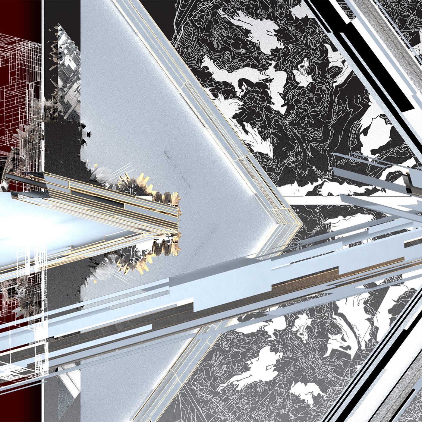
I seek to remedy the structural violence of environmental racism by platforming the underserved communities it affects most through an interactive game-like experience that presents my research alongside cultural products from local creatives and small minority owned businesses. The platform I will build is an open world virtual cultural center, a series of digital venues that creatively reclaim the industrial corridors my research focuses on by presenting data driven streetmap Glyphs as surreal environments to be explored, and learned from.
This is a multi-stage journey. These were the previous stages:
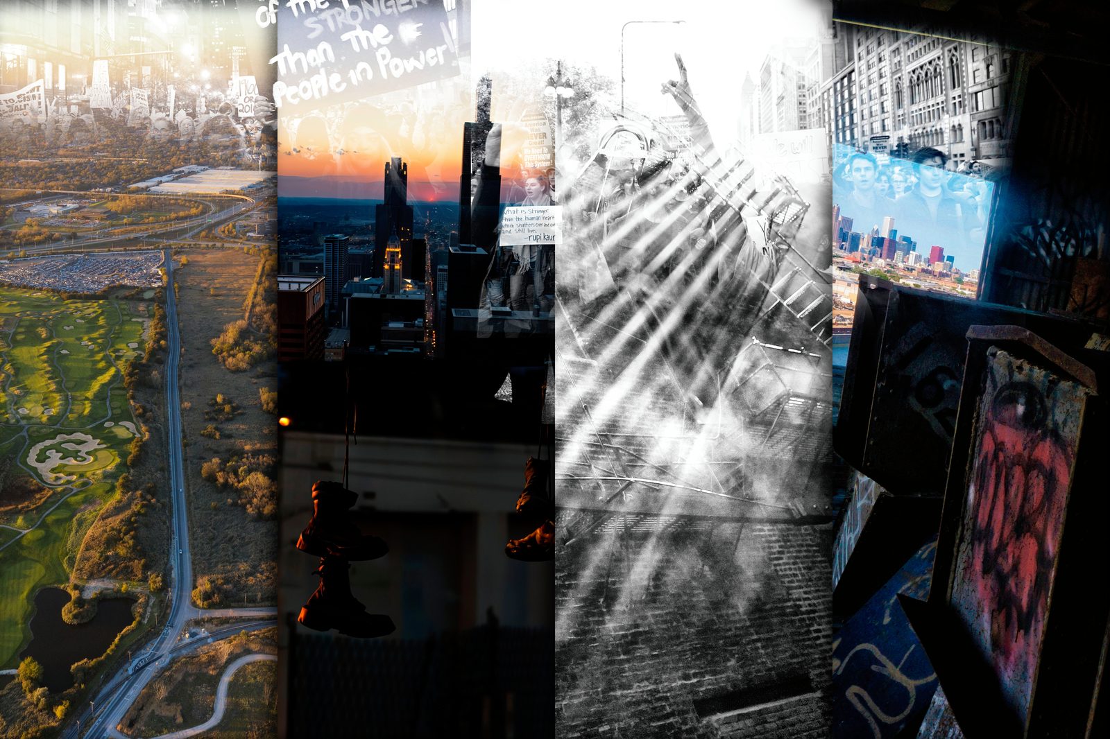
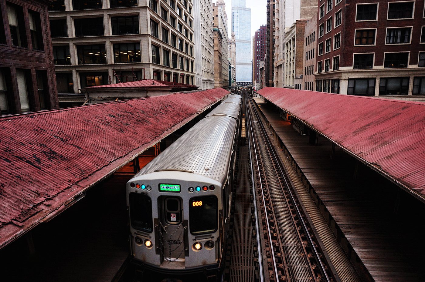
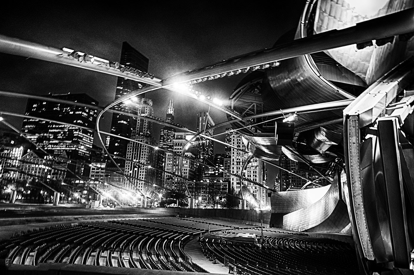
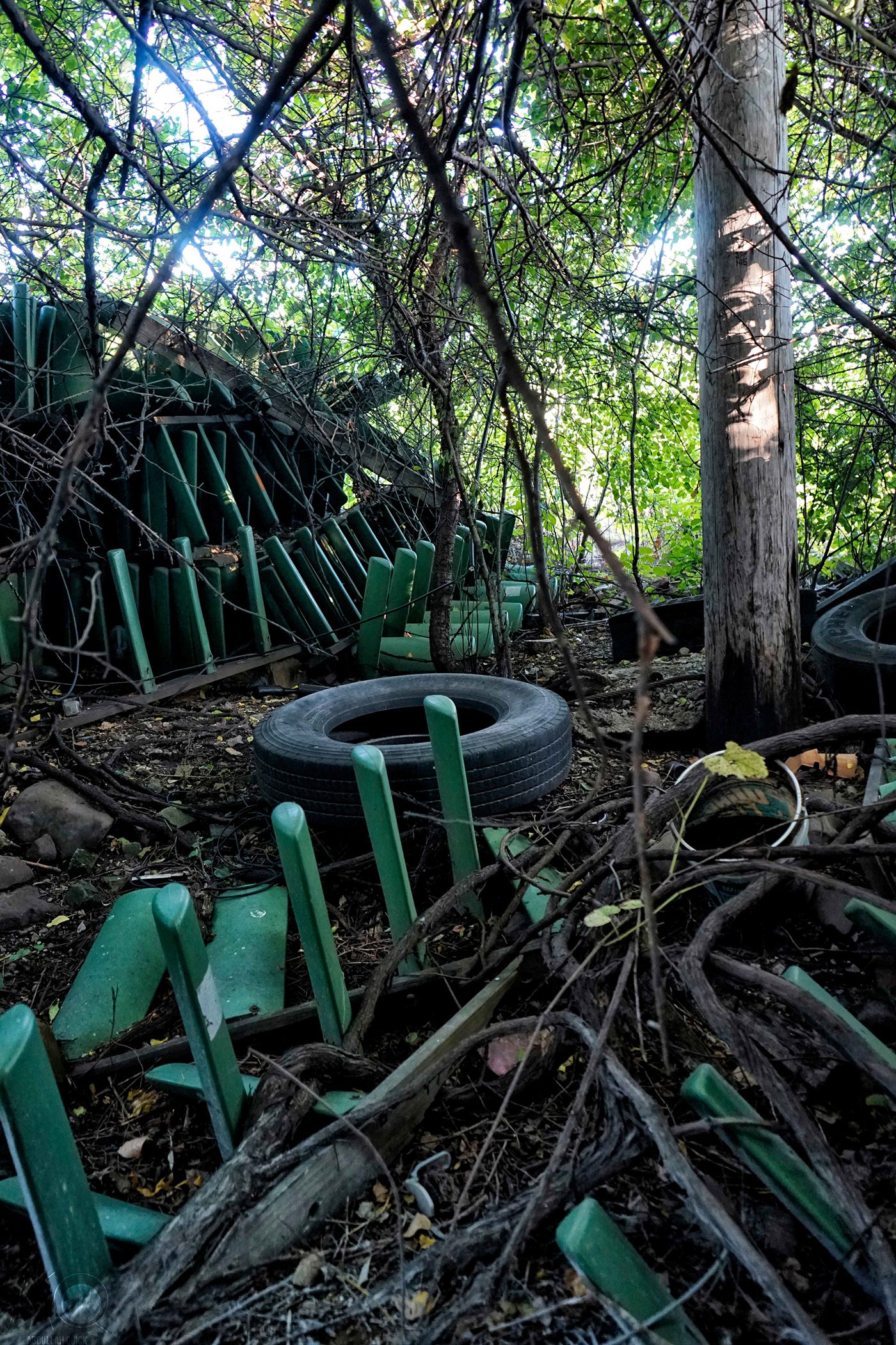
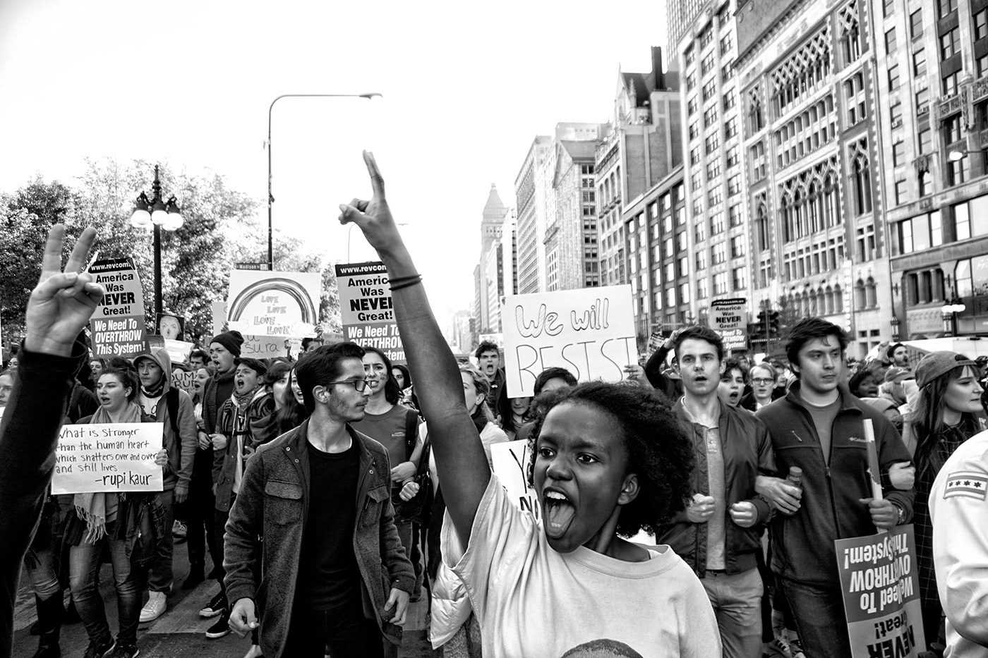
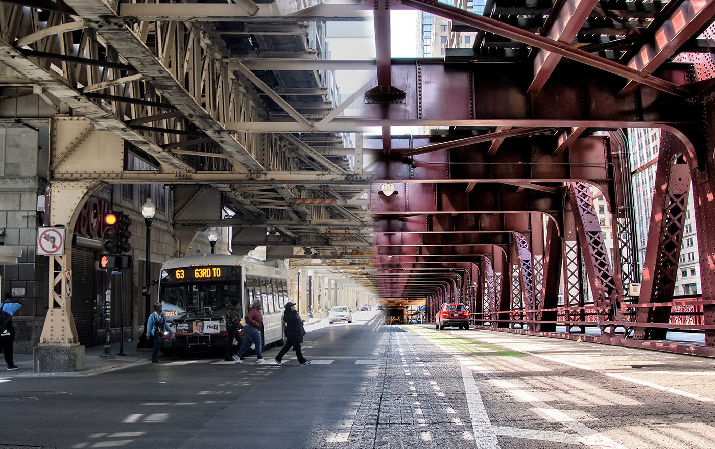
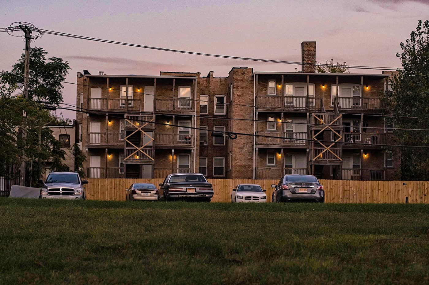
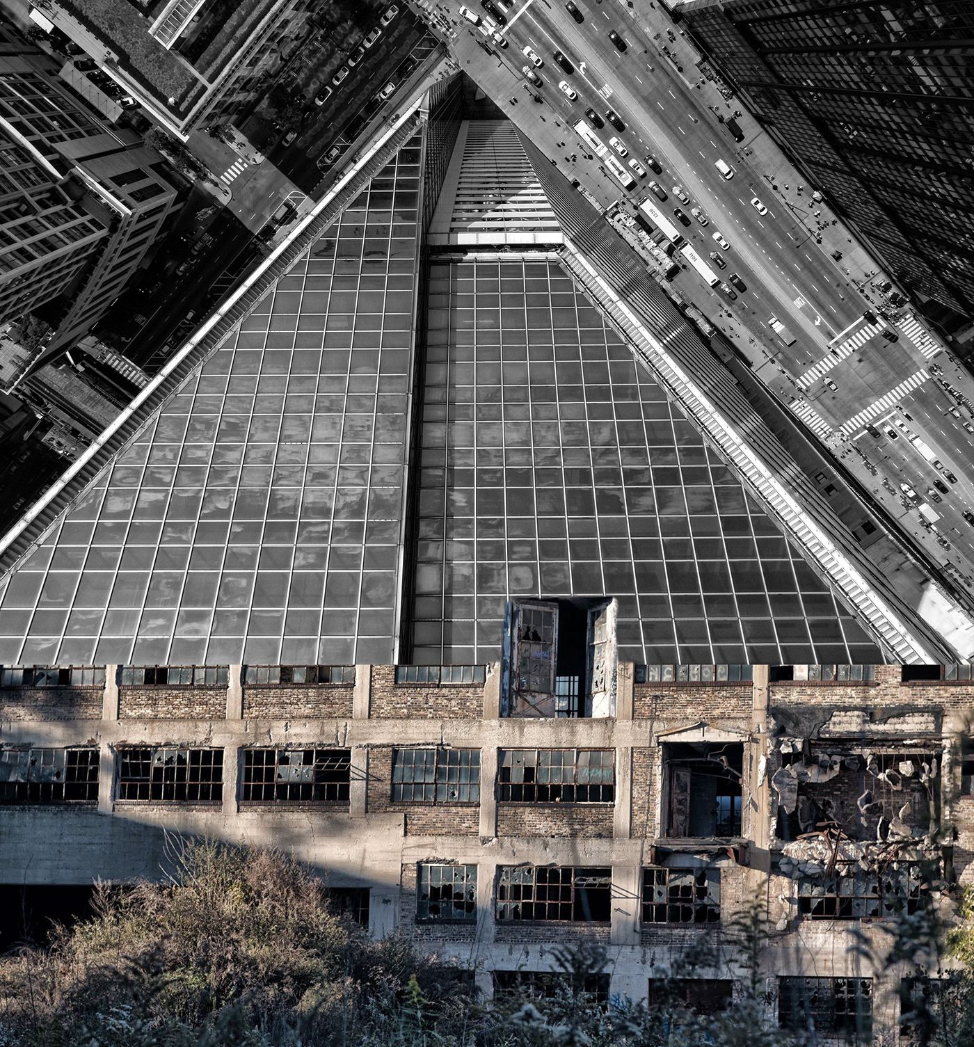
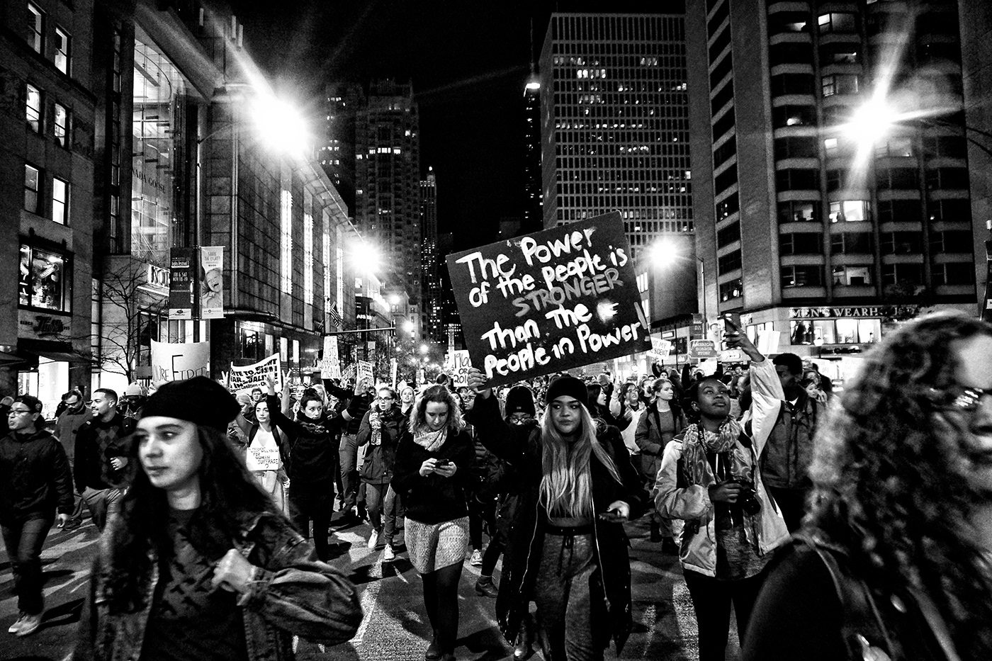

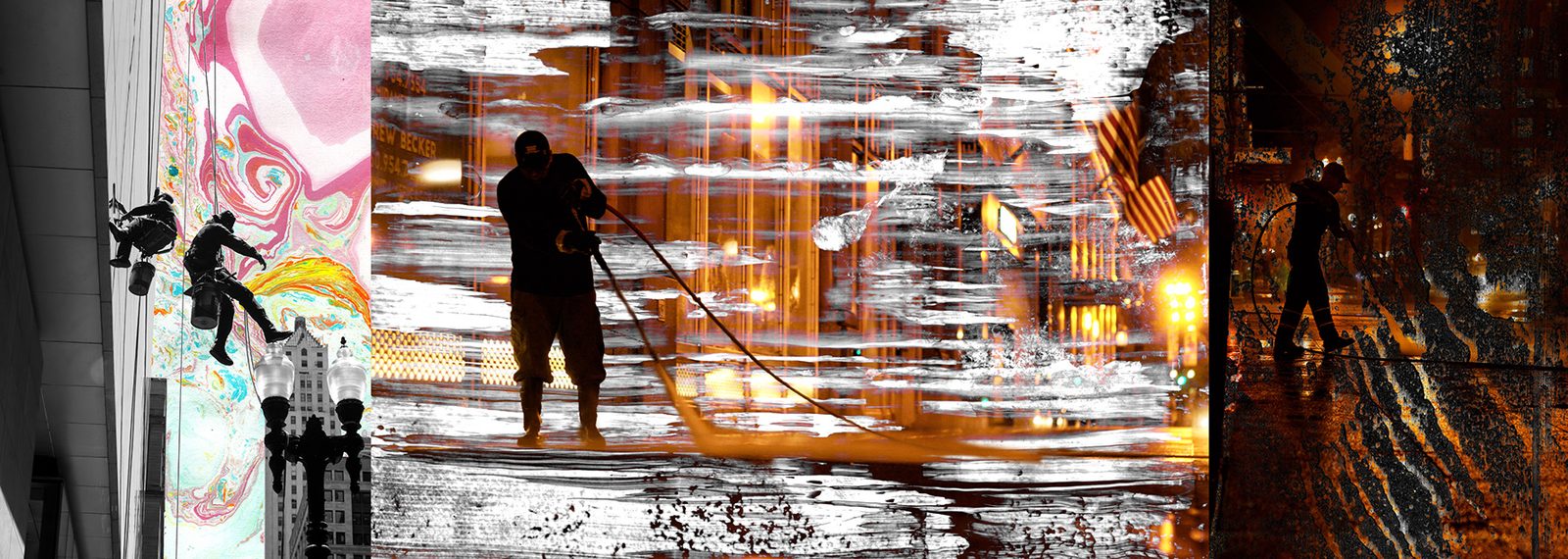
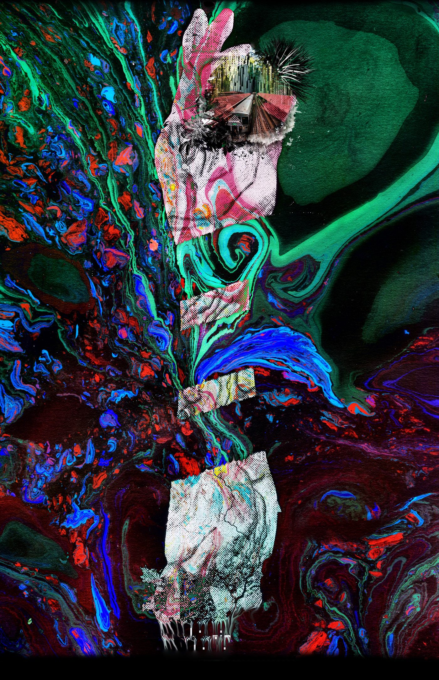
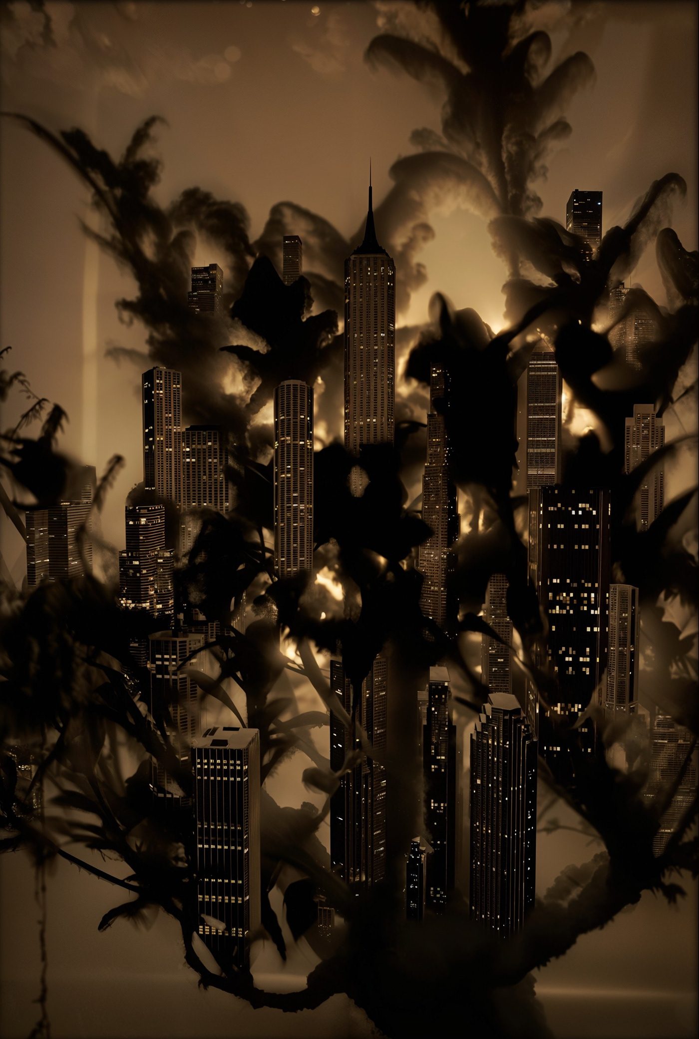
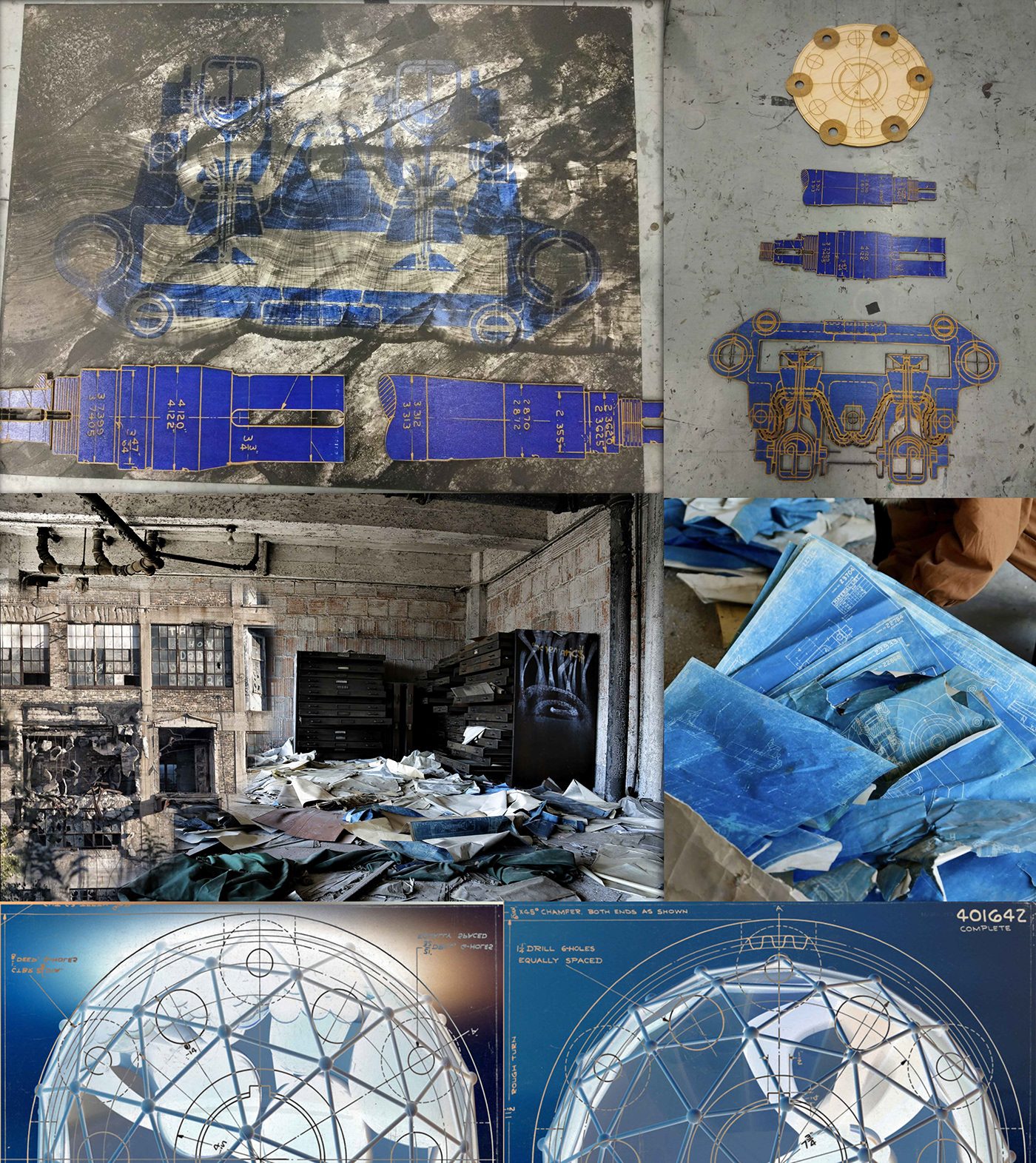
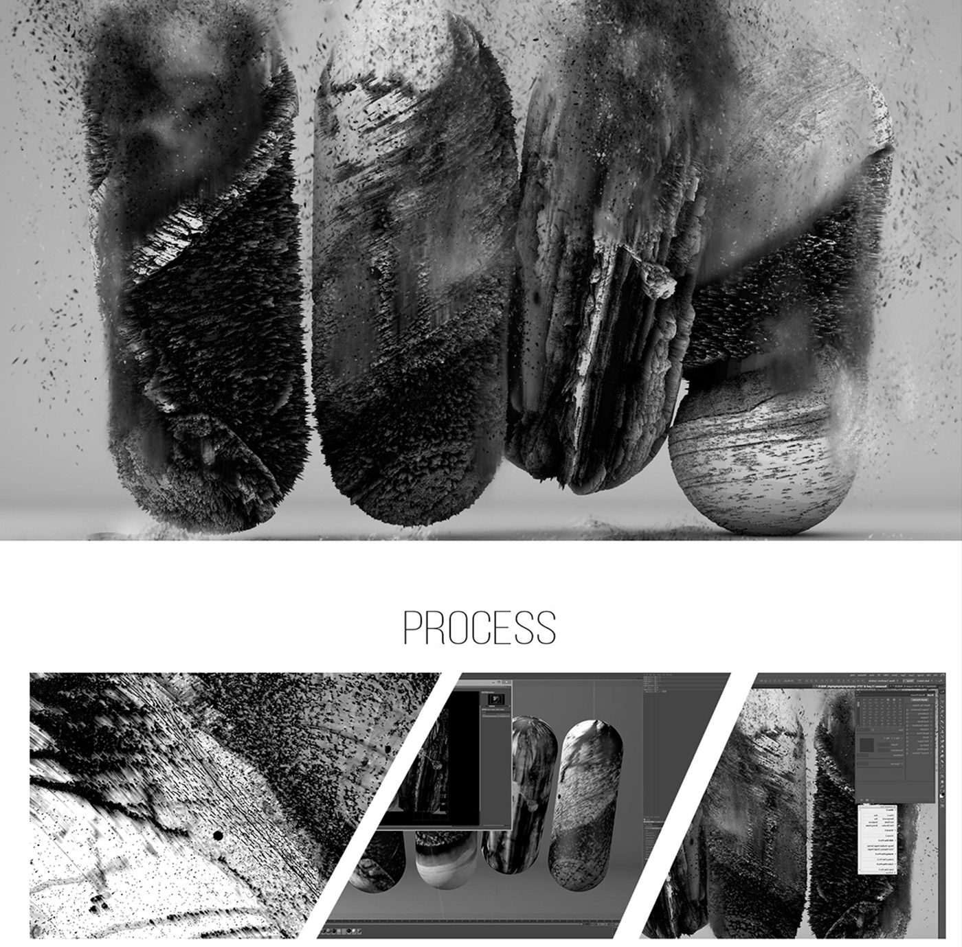
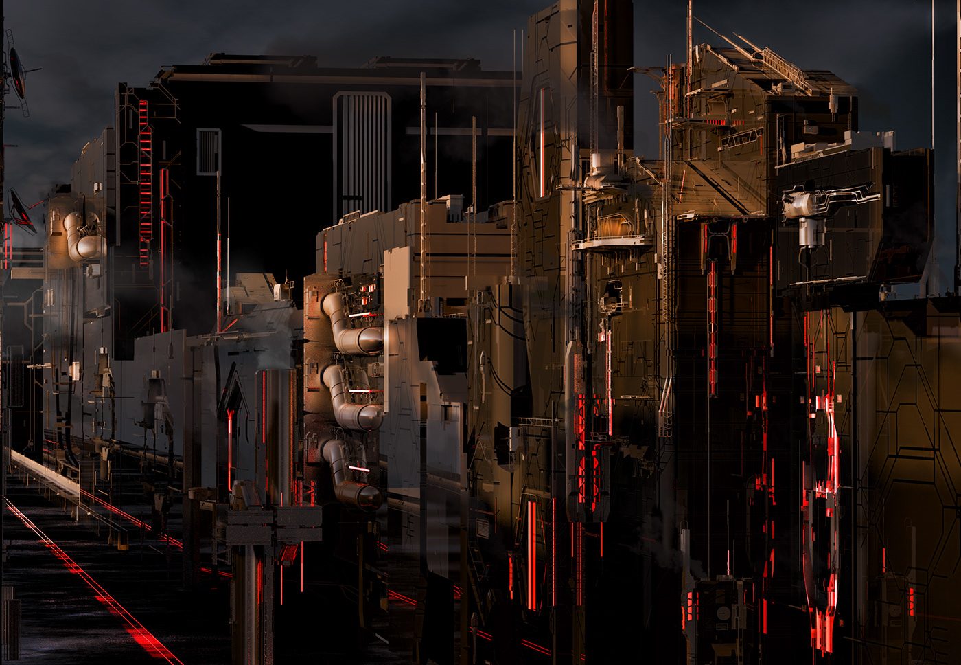
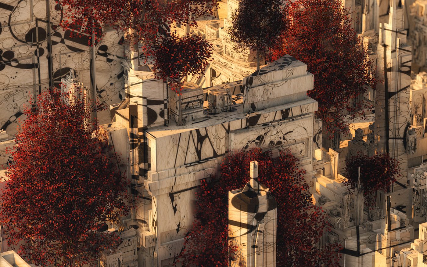
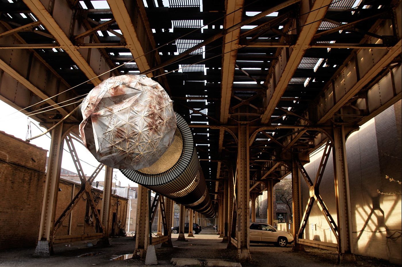
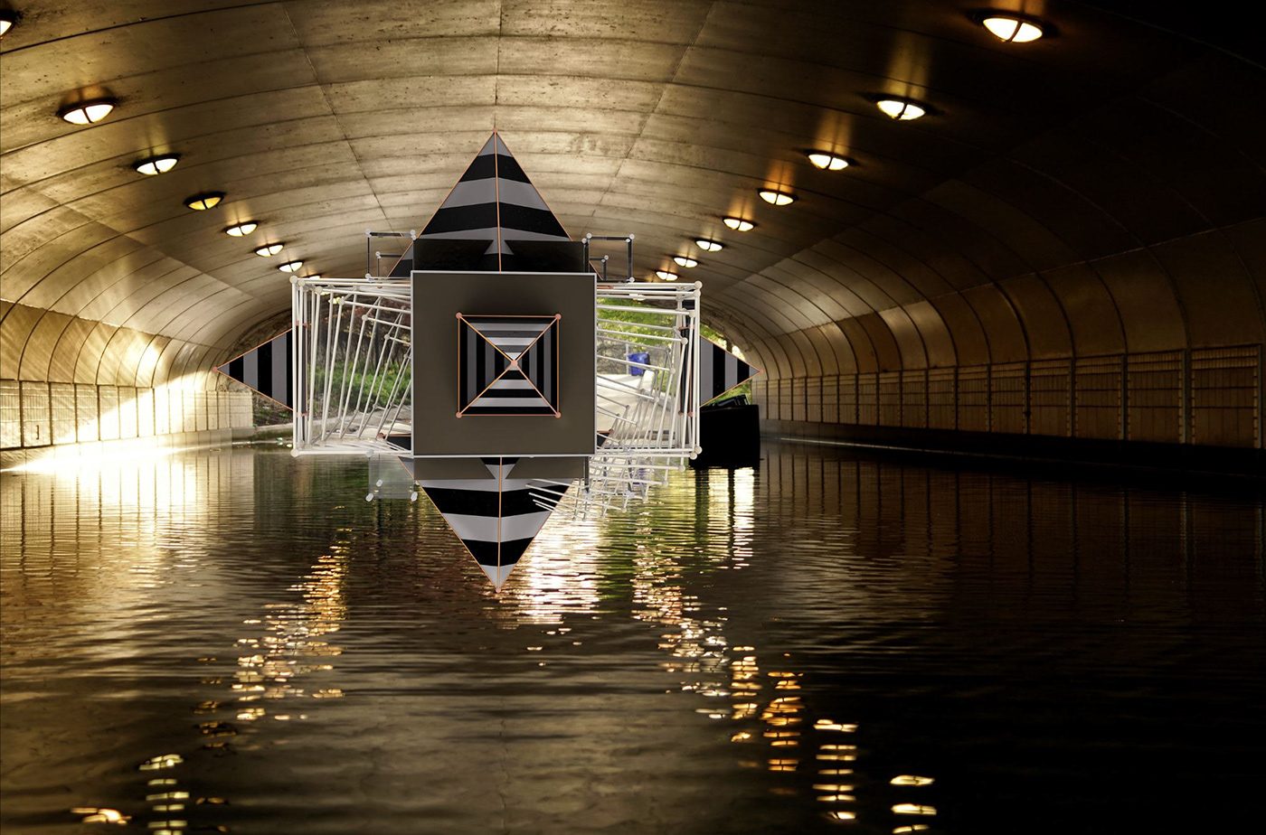
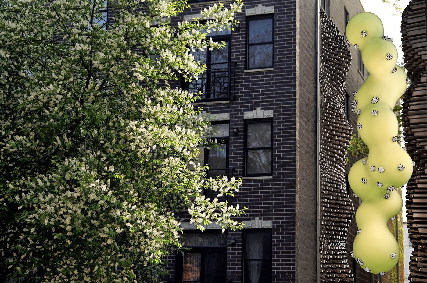
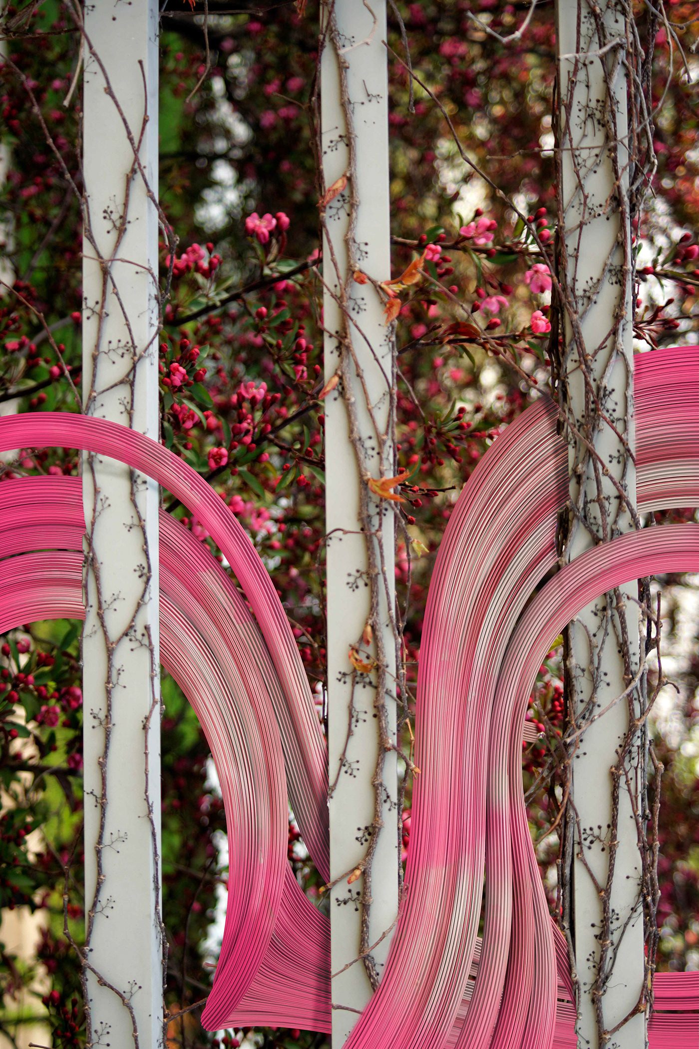
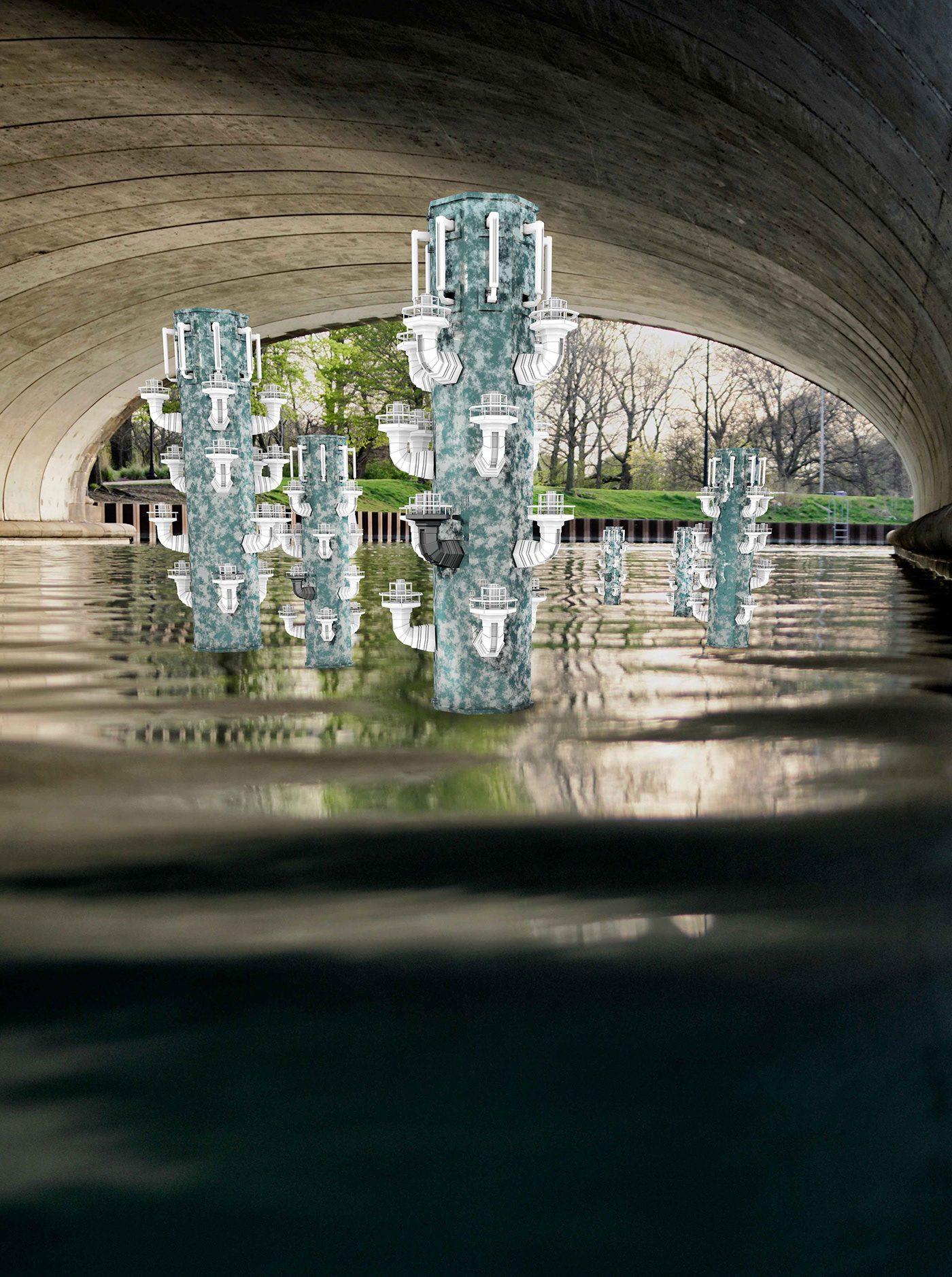
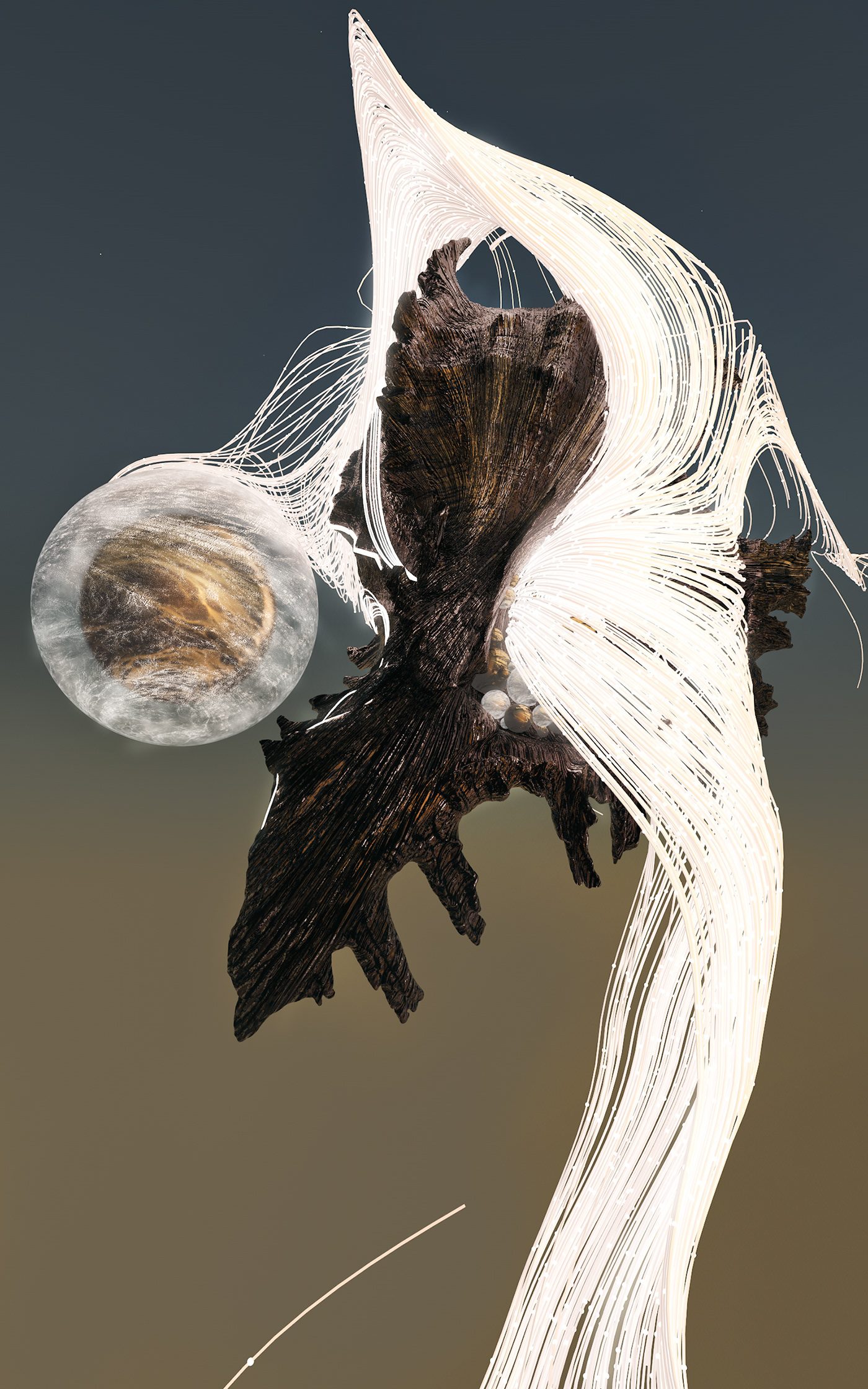
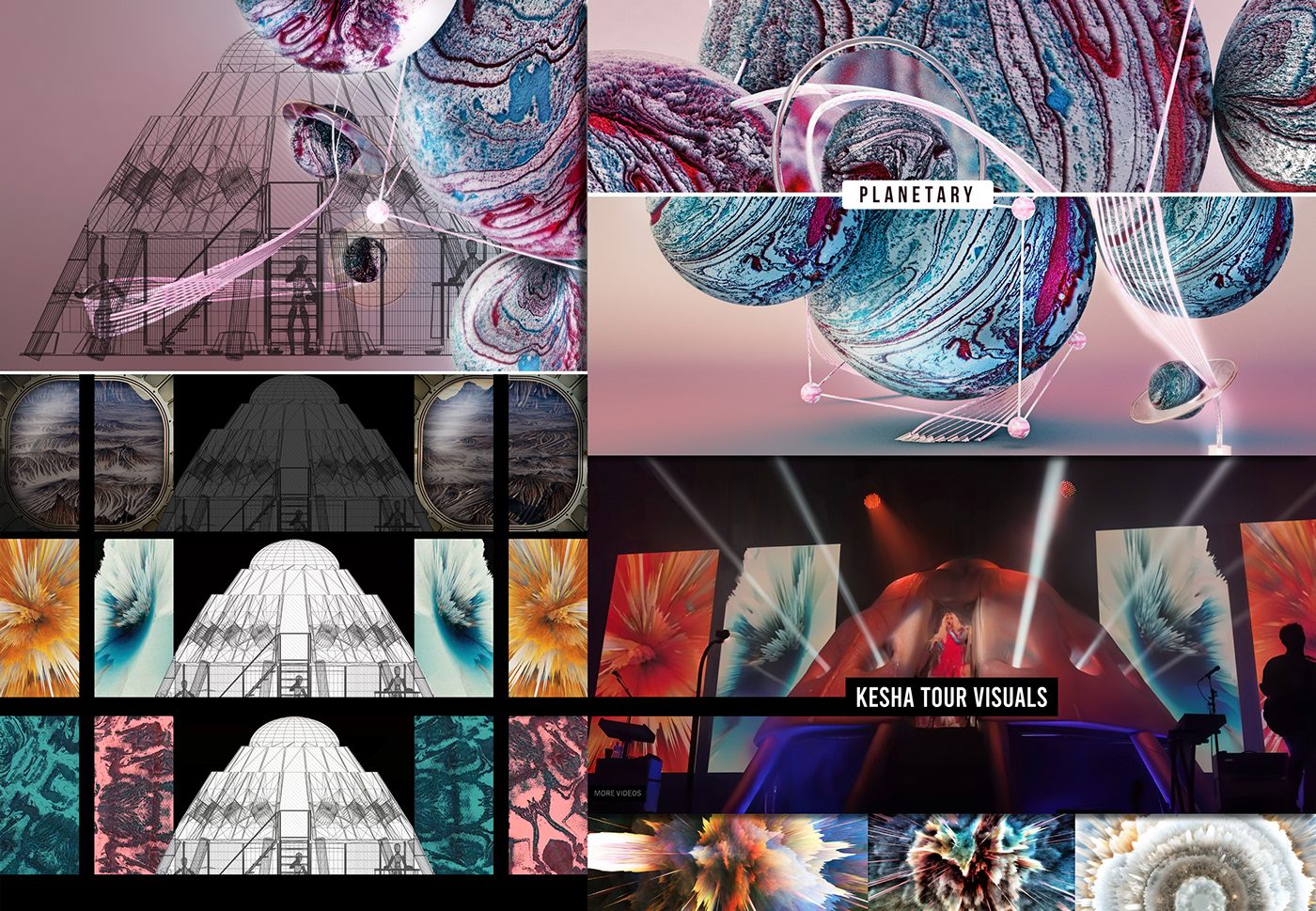
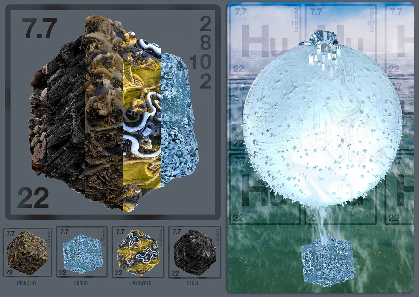
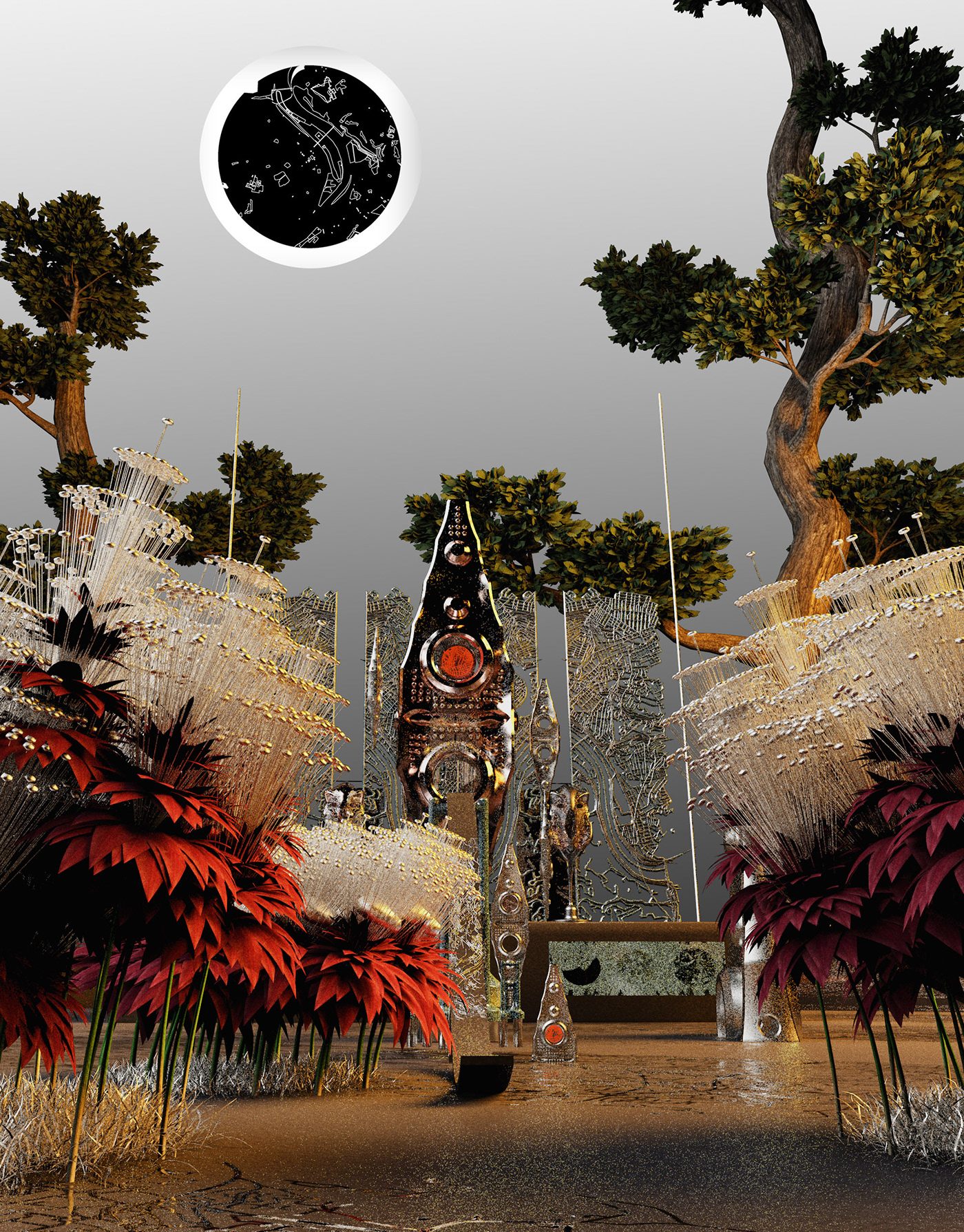
Monolyth: A New Nature
Vision
I seek to remedy the structural violence of environmental racism by platforming the underserved communities it affects most through an interactive game-like experience that presents my research alongside cultural products from local creatives and small minority owned businesses. The platform I will build is an open world virtual cultural center, a series of digital venues that creatively reclaim the industrial corridors my research focuses on by presenting data driven streetmap Glyphs as surreal environments to be explored, and learned from.
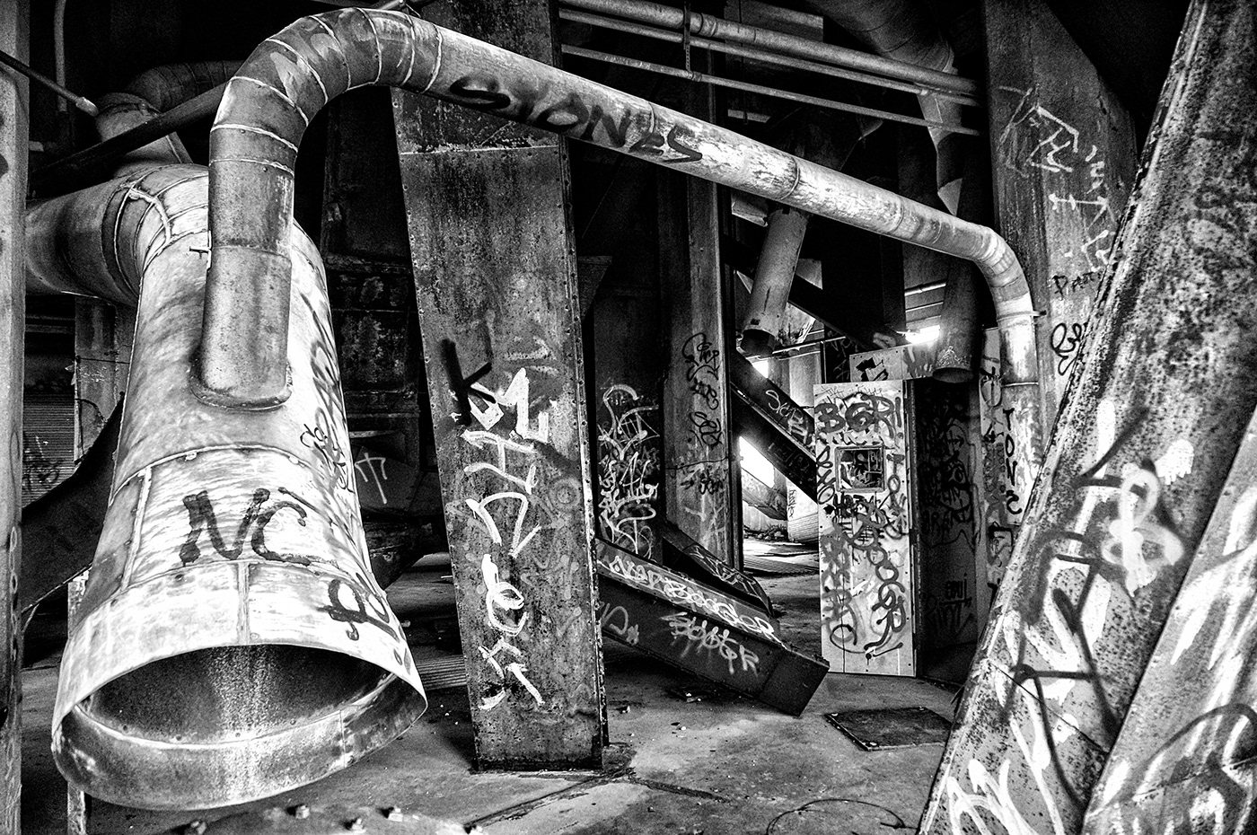
The viewer, now an urbexer (Urban Explorer) much like myself when visiting these locations, is tasked with exploring these landscapes in search of artifacts. Virtual urban archaeology, the retrieval of each artifact presents the viewer with a bit of information/research regarding the community/culture it represents. These artifacts are made by individuals from the communities represented in the street map glyphs embedded in each virtual environment. They vary widely, from scans of handmade jewelry, pottery/sculptures to murals, poem inscribed tablets and virtual performances. I will maintain this project as an ongoing virtual platform by updating the game over time to feature more creatives and small businesses from a growing list of communities affected by industry. As I continue my research the open world of the game will grow and serve as a living archive.
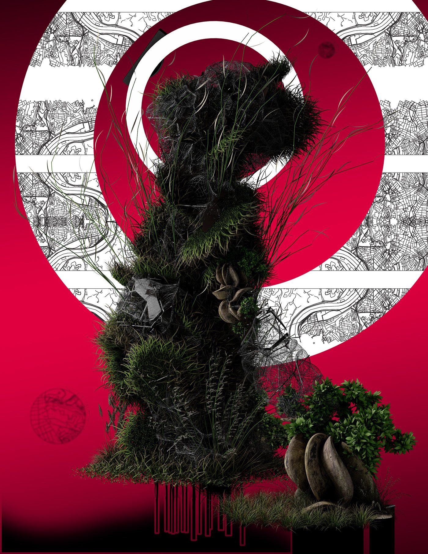
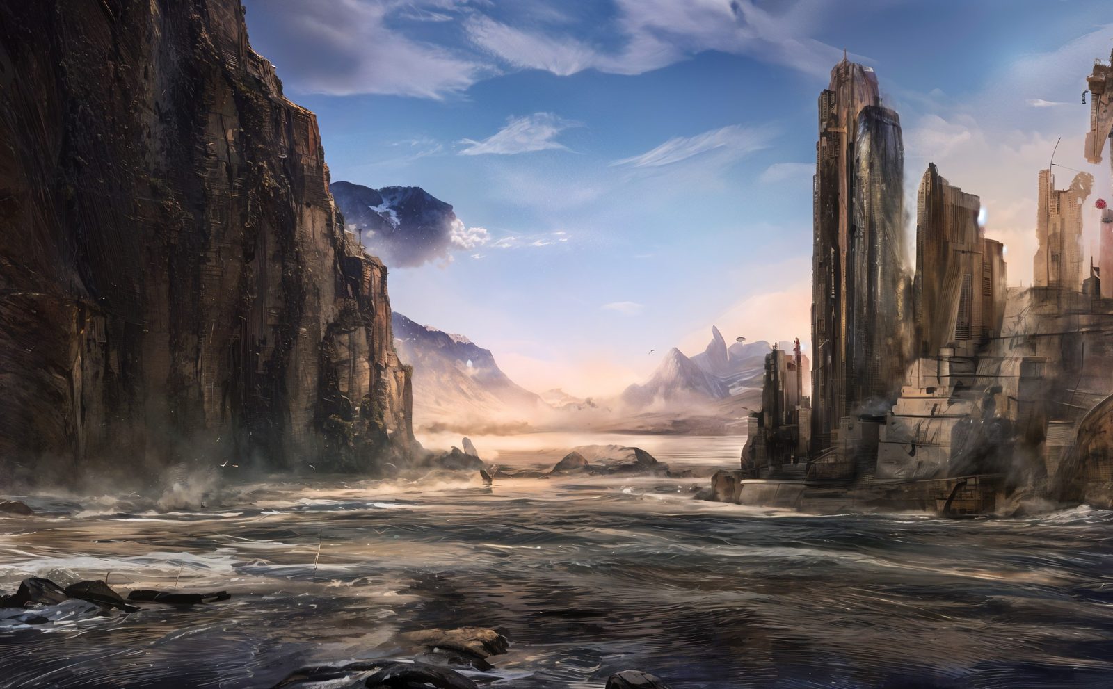
The surreal environments of this open world are presented as once home to vibrant cultures whose structural remnants are embedded in each landscape. The experience takes place after a series of erosion events that embody a progression of industrial pollution, based on the research I've done of real world locations driving the erosion of industry adjacent communities of color.
This platform, Monolyth, presents my research with a virtual cultural center/museum of work from local creatives and catalog of minority owned small business and creatives from underserved communities as a virtual marketplace. I envision a way to reinvest in our communities by increasing our awareness of them and counteracting the forms of structural violence we’ve grown accustomed to.
I seek to remedy the structural violence of environmental racism by platforming the underserved communities it affects most through an interactive game-like experience that presents my research alongside cultural products from local creatives and small minority owned businesses. The platform I will build is an open world virtual cultural center, a series of digital venues that creatively reclaim the industrial corridors my research focuses on by presenting data driven streetmap Glyphs as surreal environments to be explored, and learned from.
The viewer, now an urbexer (Urban Explorer) much like myself when visiting these locations, is tasked with exploring these landscapes in search of artifacts. Virtual urban archaeology, the retrieval of each artifact presents the viewer with a bit of information/research regarding the community/culture it represents. These artifacts are made by individuals from the communities represented in the street map glyphs embedded in each virtual environment. They vary widely, from scans of handmade jewelry, pottery/sculptures to murals, poem inscribed tablets and virtual performances. I will maintain this project as an ongoing virtual platform by updating the game over time to feature more creatives and small businesses from a growing list of communities affected by industry. As I continue my research the open world of the game will grow and serve as a living archive.
The surreal environments of this open world are presented as once home to vibrant cultures whose structural remnants are embedded in each landscape. The experience takes place after a series of erosion events that embody a progression of industrial pollution, based on the research I've done of real world locations driving the erosion of industry adjacent communities of color.
This platform, Monolyth, presents my research with a virtual cultural center/museum of work from local creatives and catalog of minority owned small business and creatives from underserved communities as a virtual marketplace. I envision a way to reinvest in our communities by increasing our awareness of them and counteracting the forms of structural violence we’ve grown accustomed to.
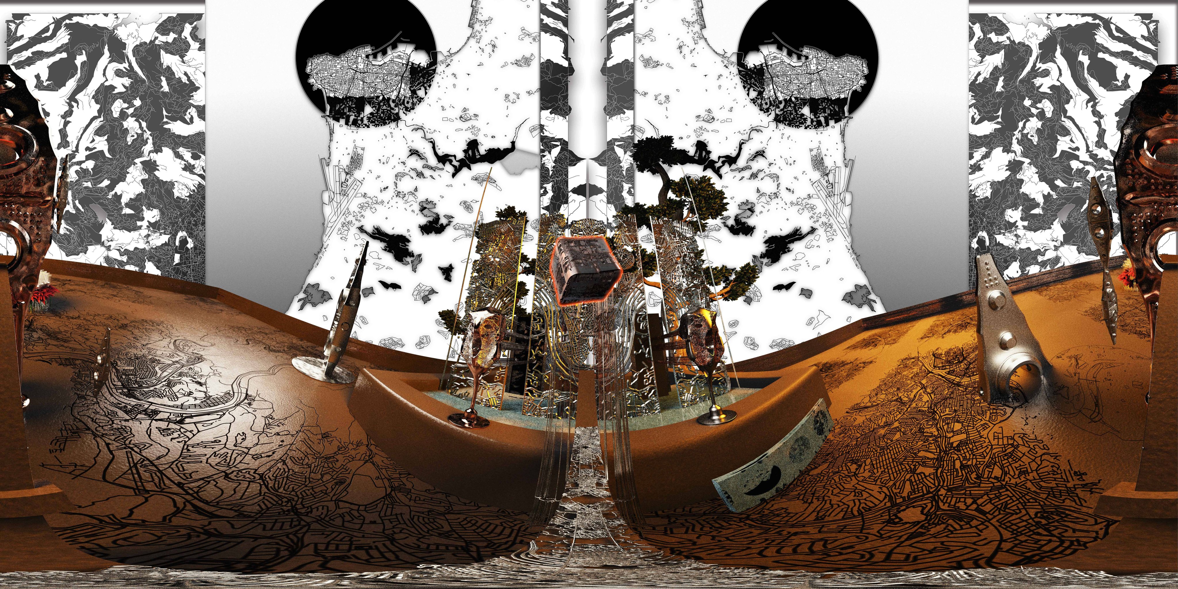
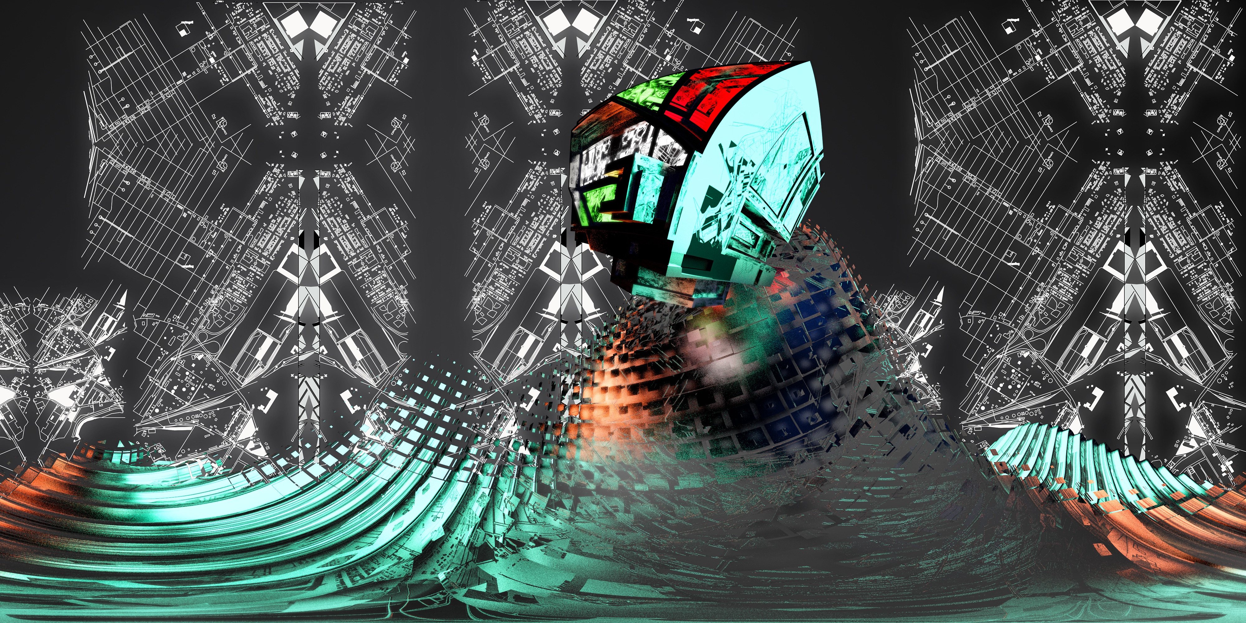
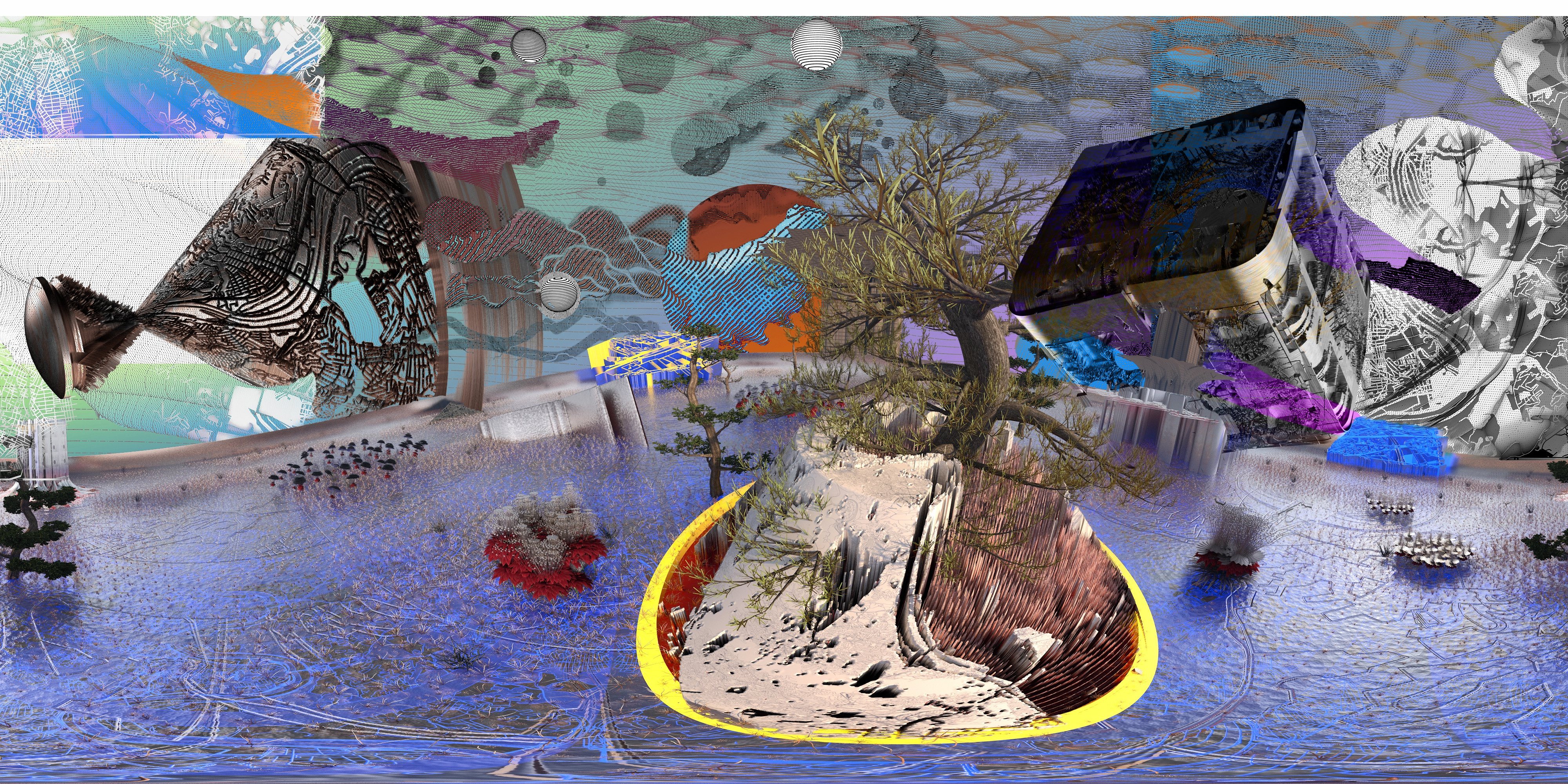
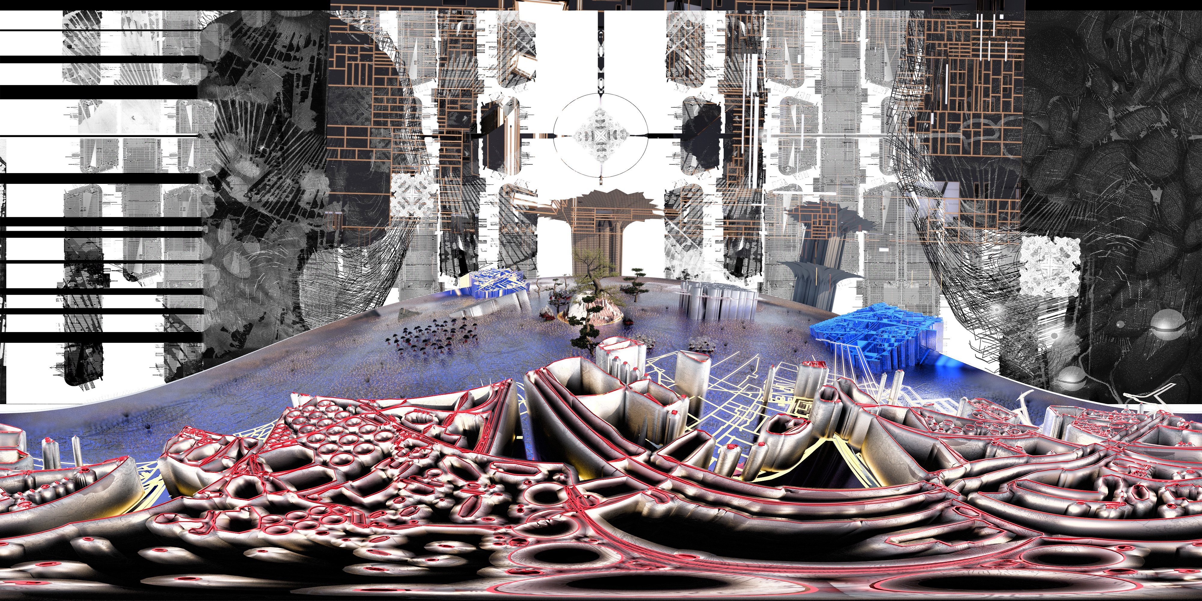
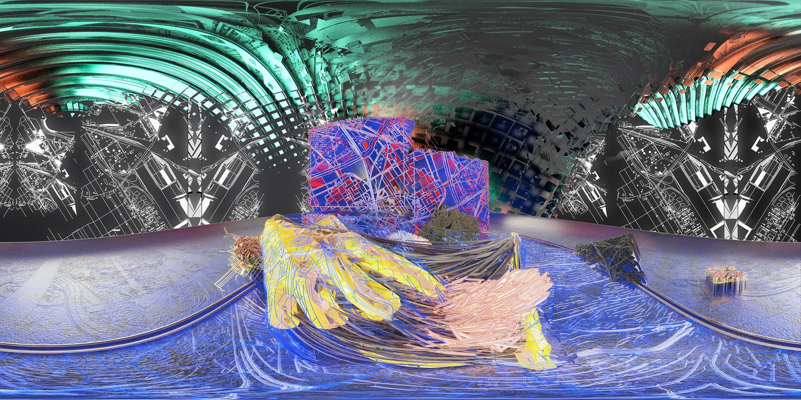
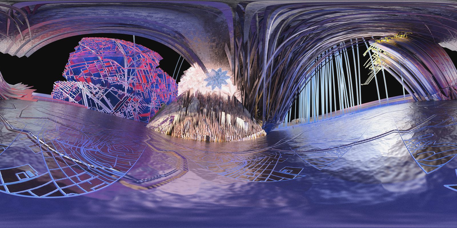
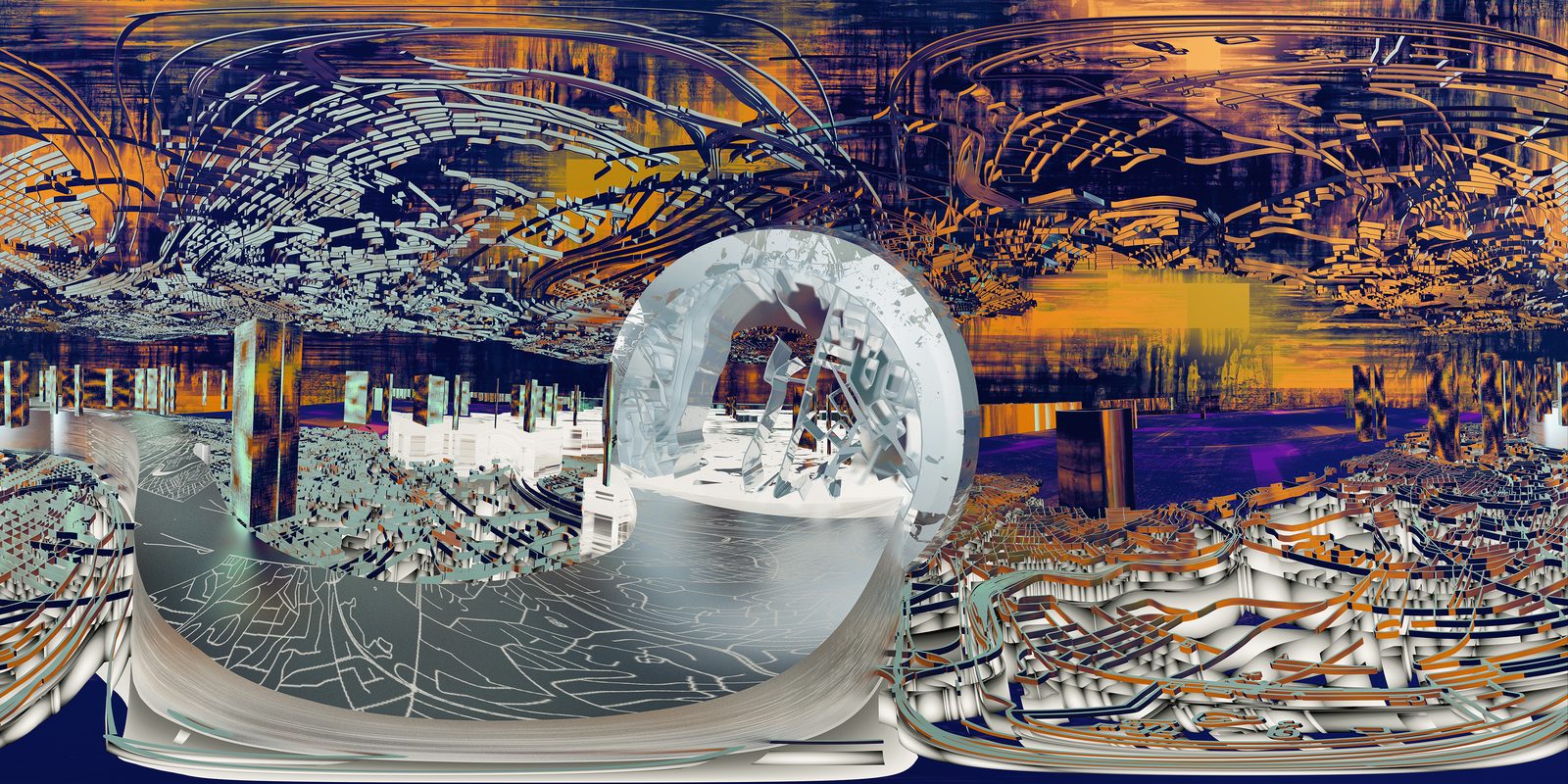
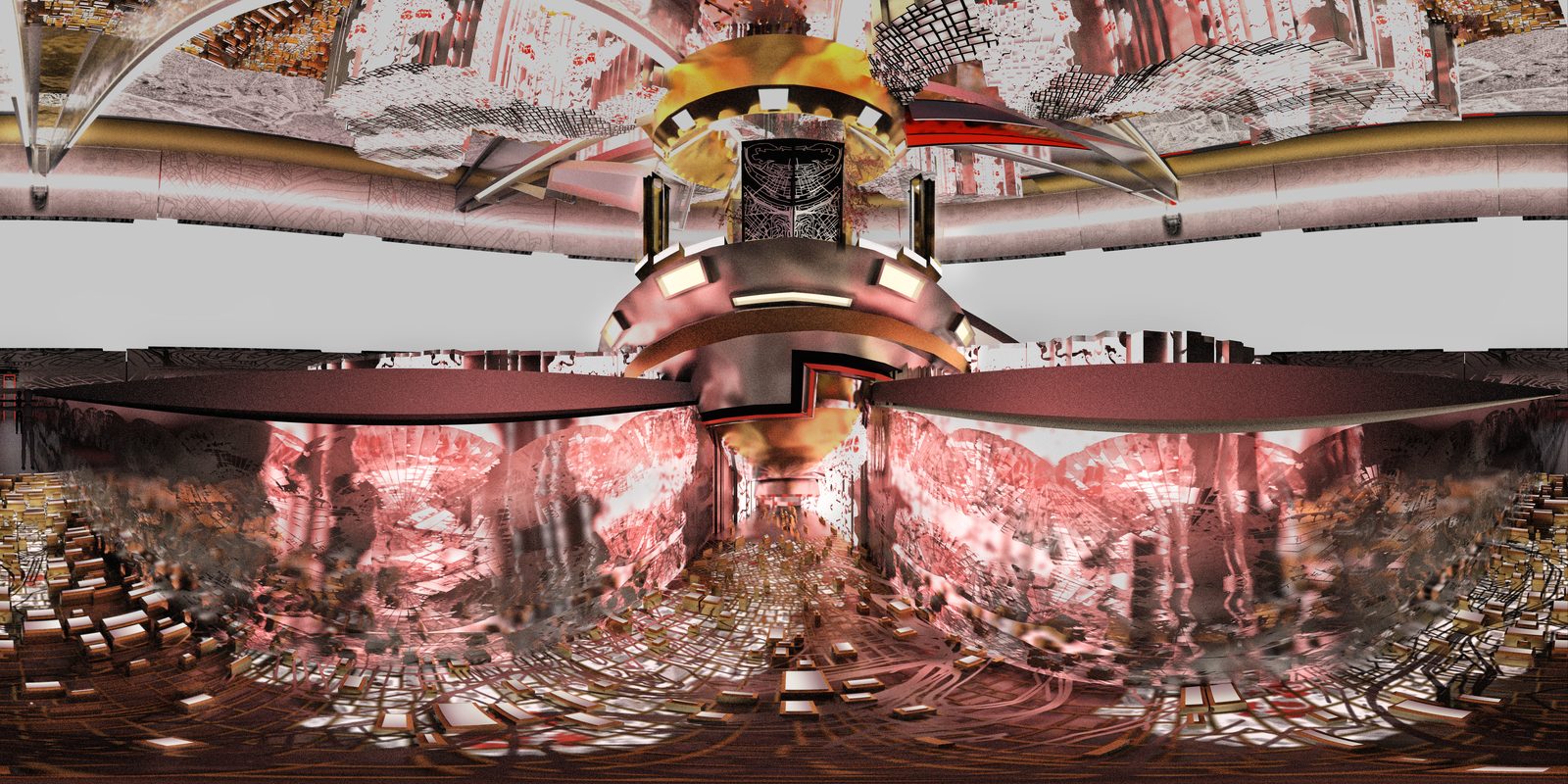
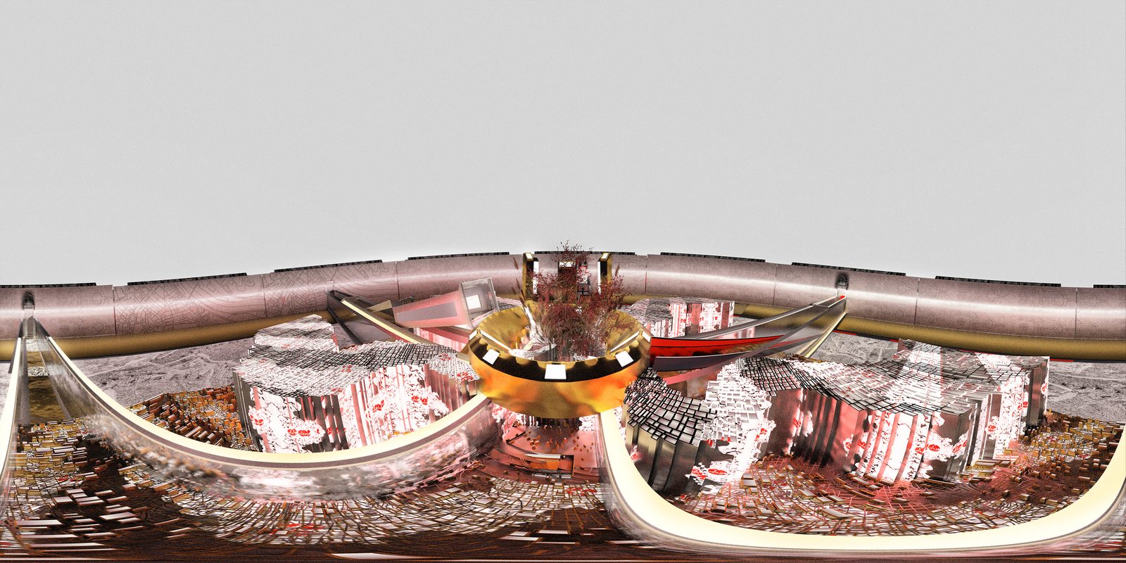
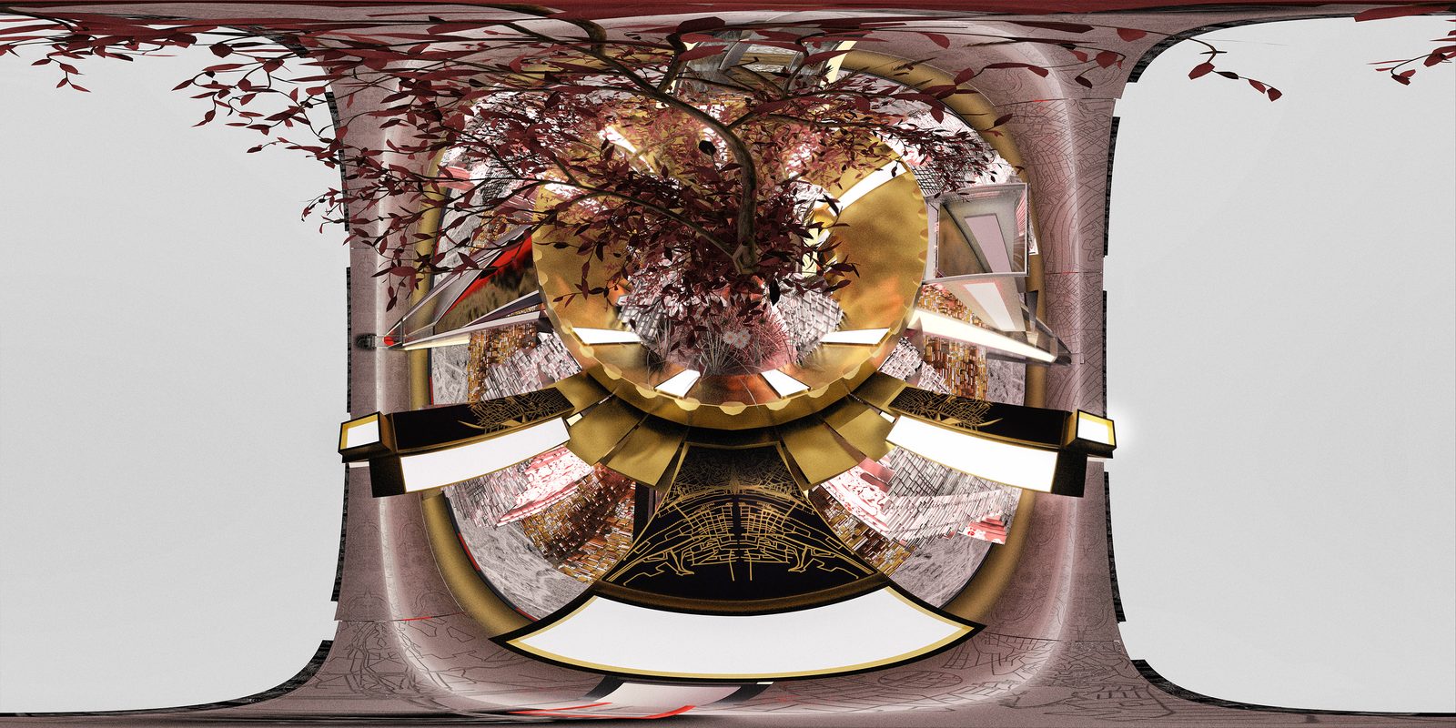
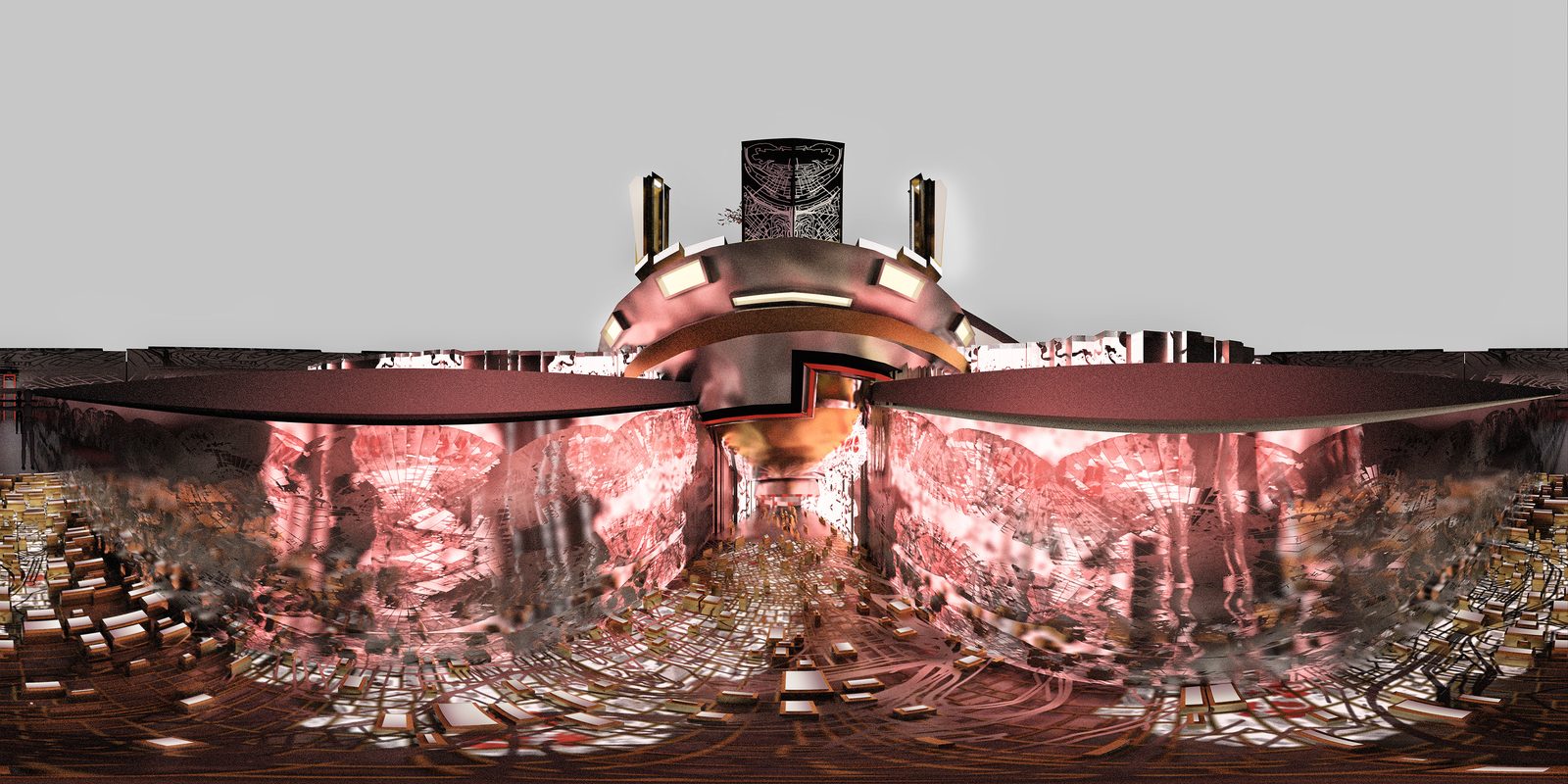
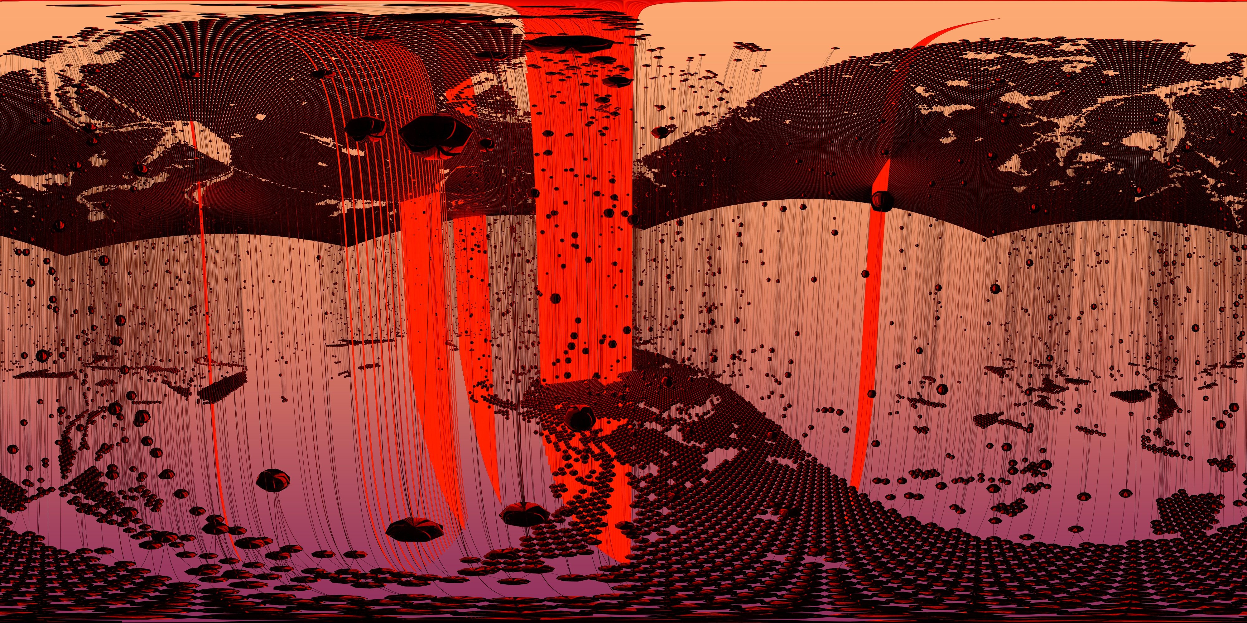
A short clip of a partially built interactive landscape within the game and some of the process behind it, concept panoramas for future levels towards the end.
Monolyth VR
Click and Drag - Look Around
Pinch and scroll - Zoom
'Open New Tab' - Full Immersion
Pinch and scroll - Zoom
'Open New Tab' - Full Immersion
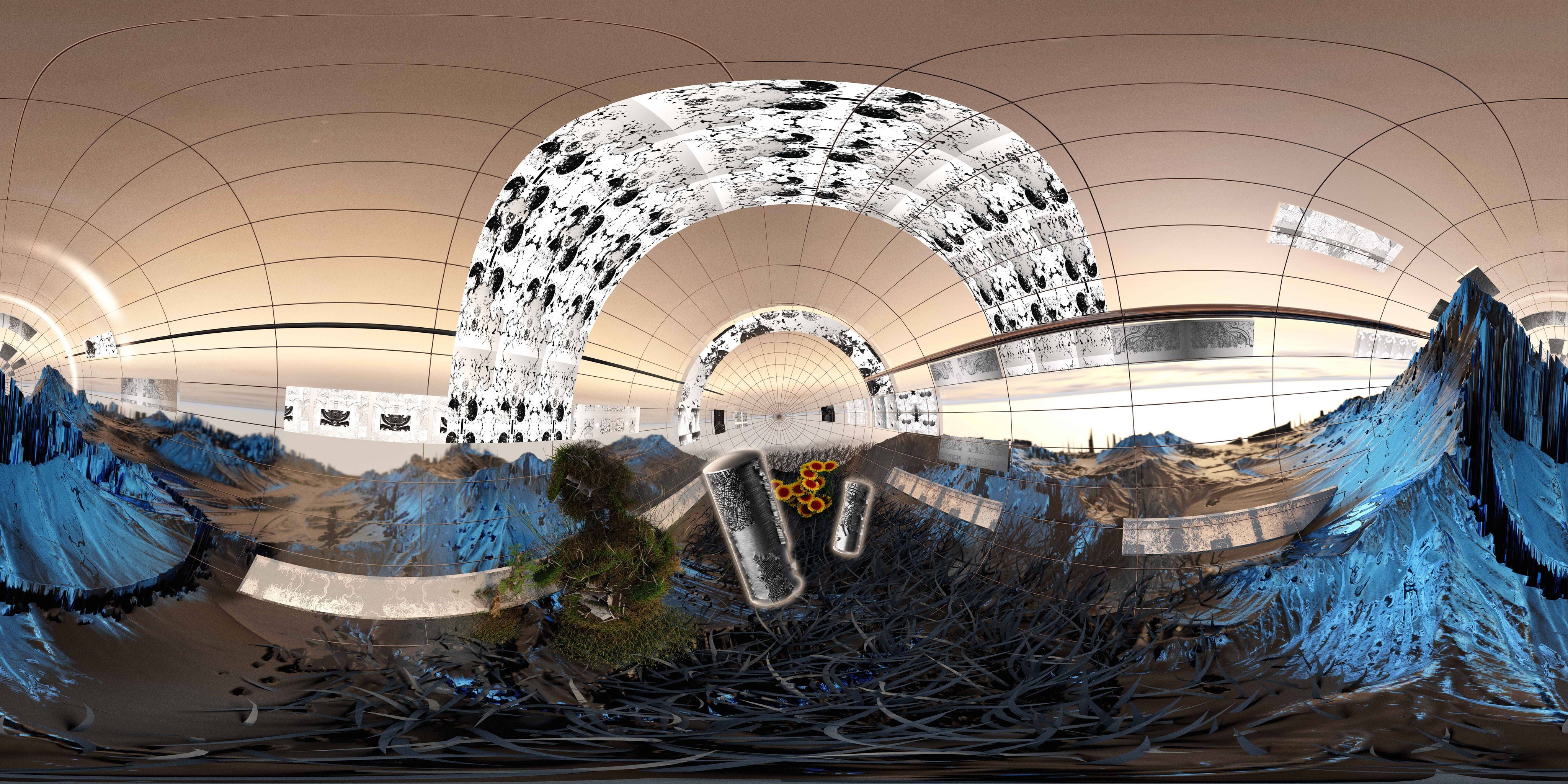
Stills
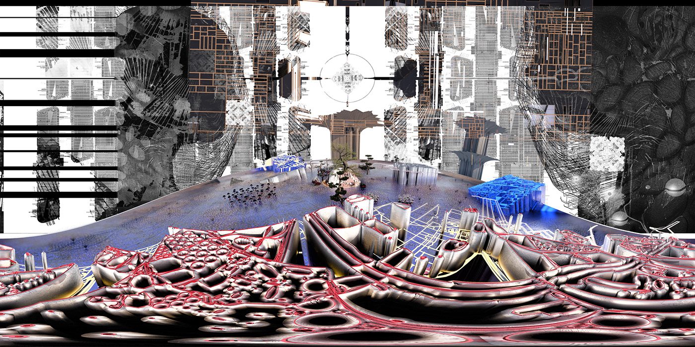
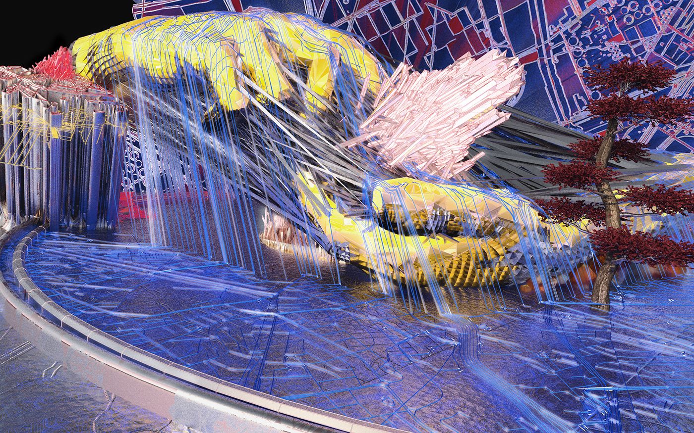
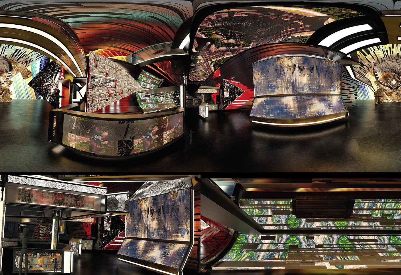
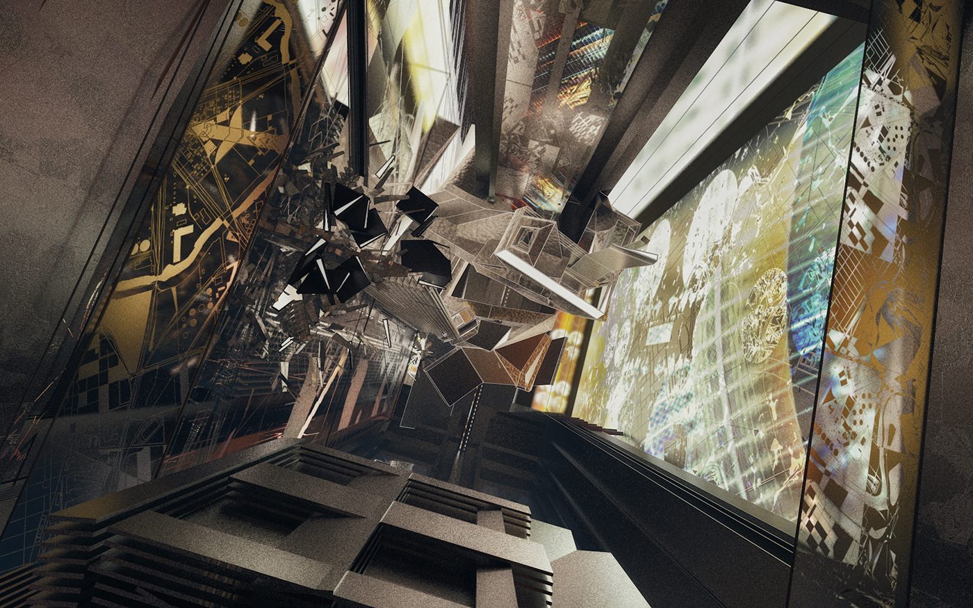
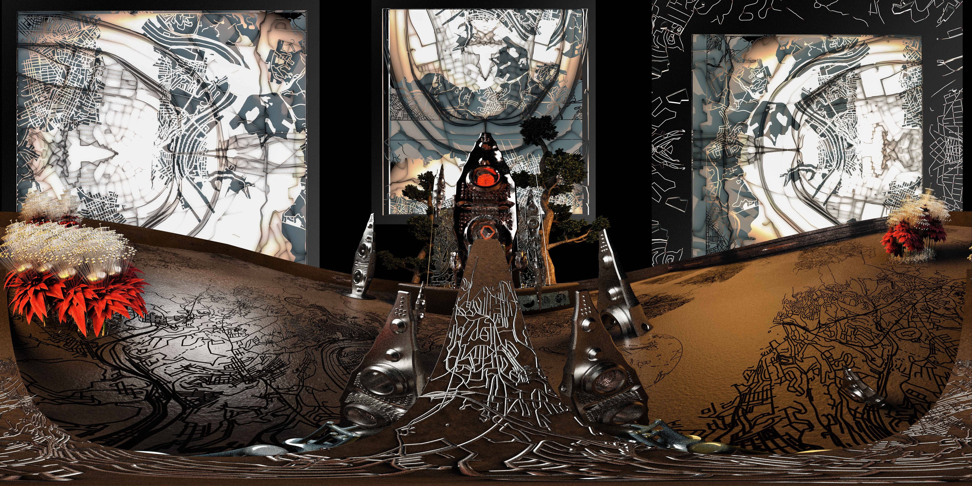
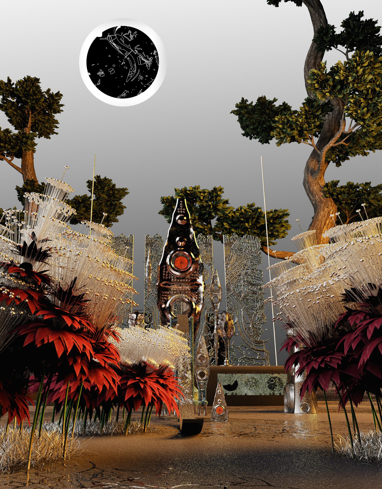
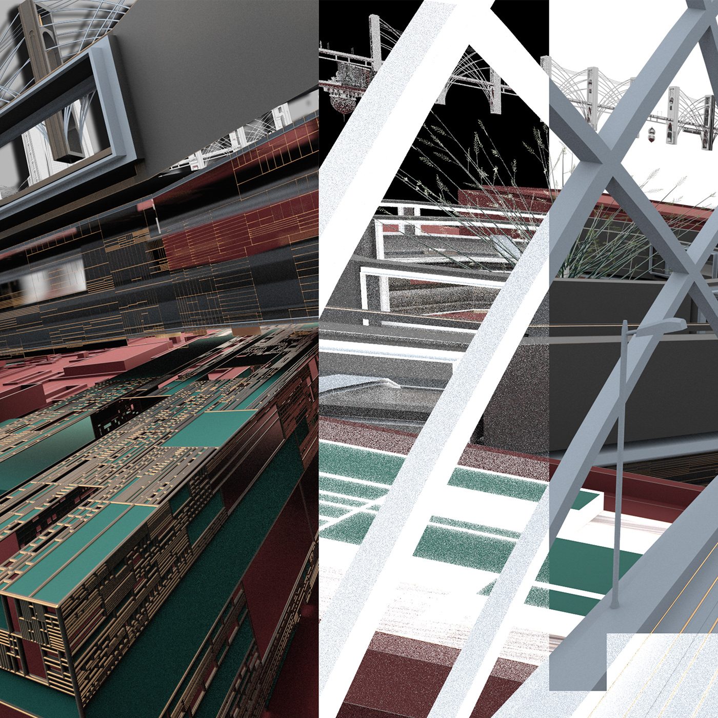
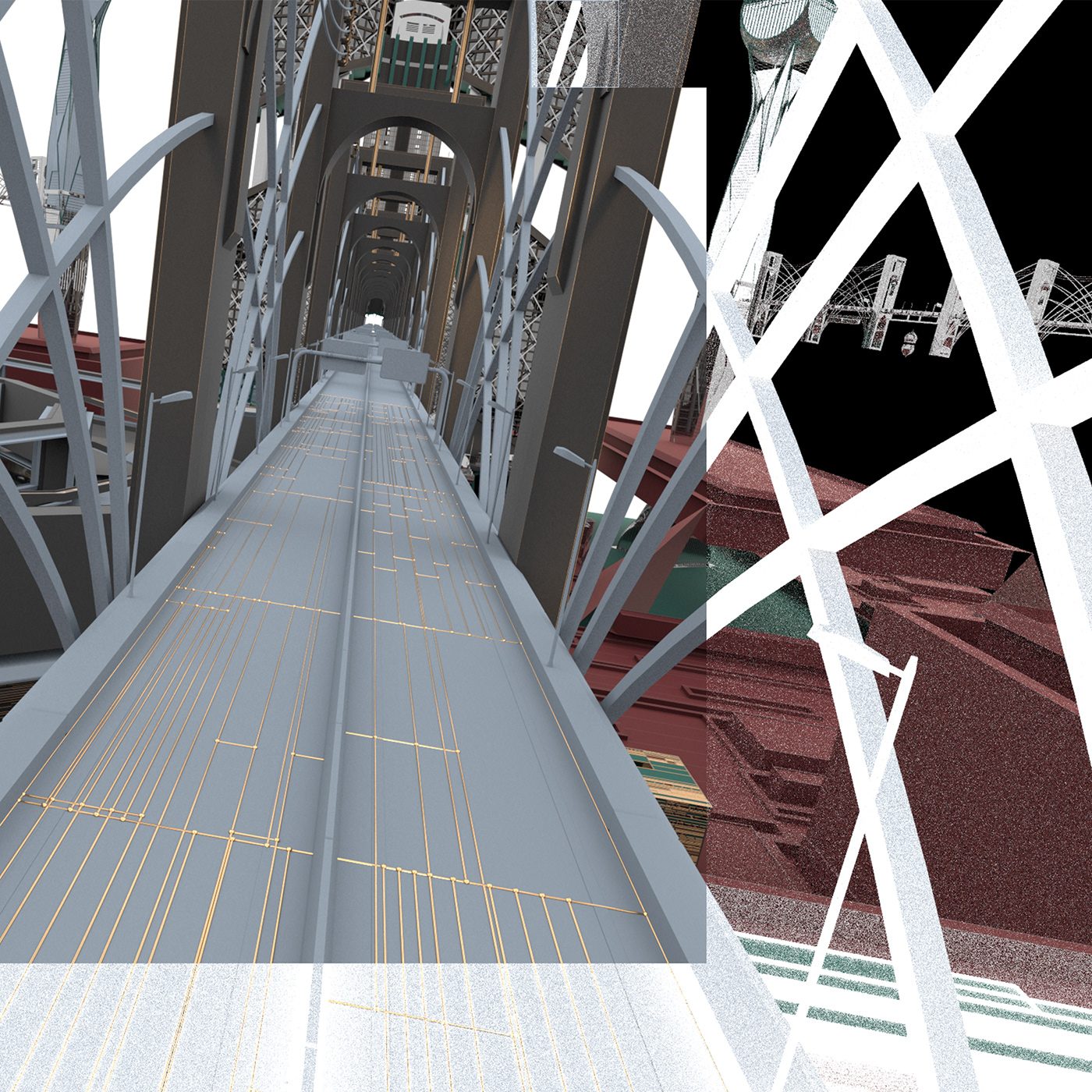
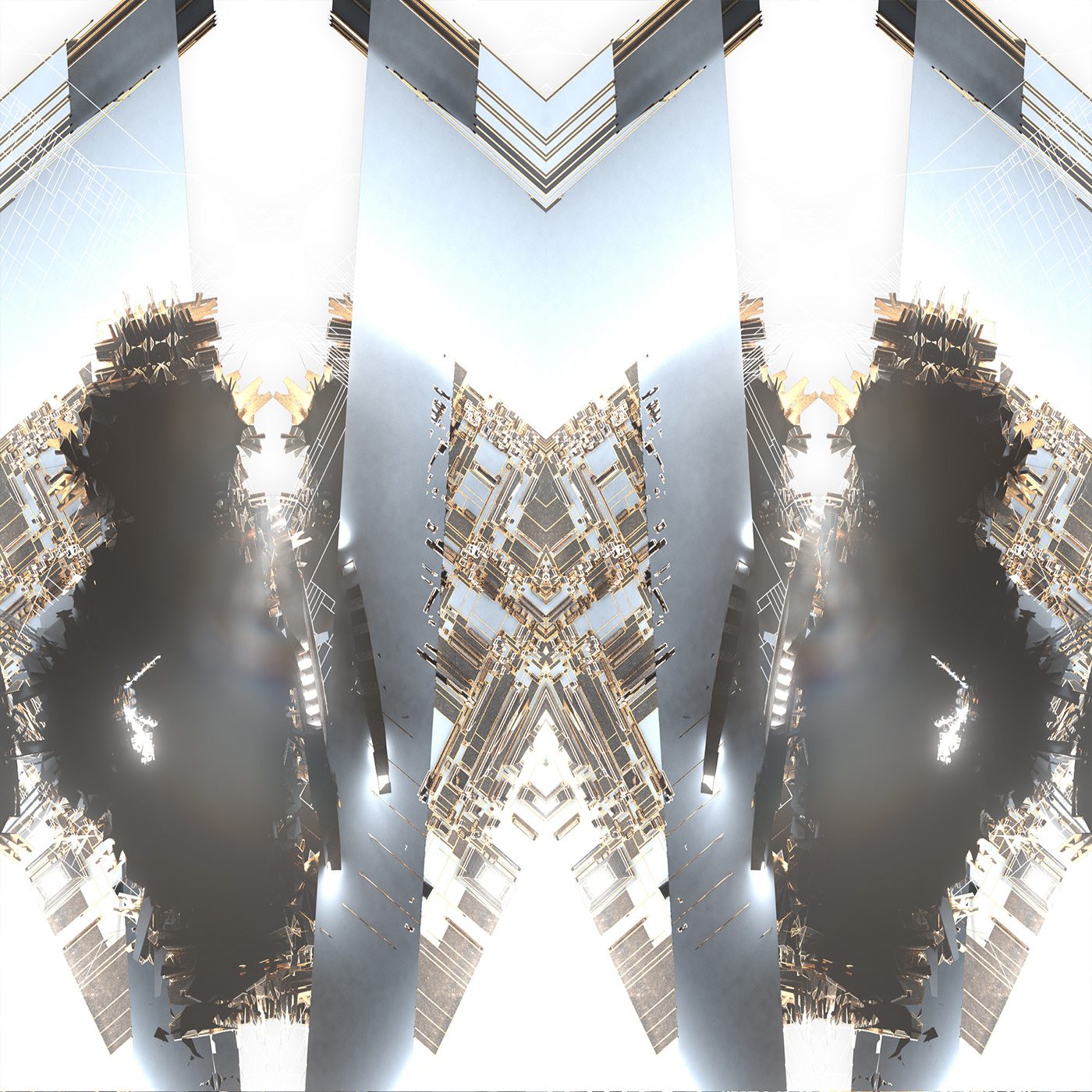
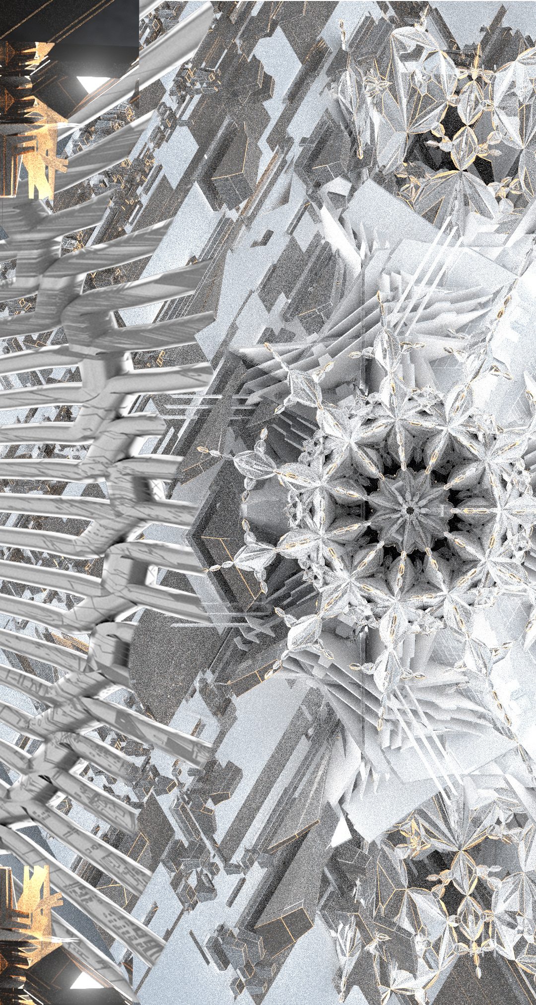
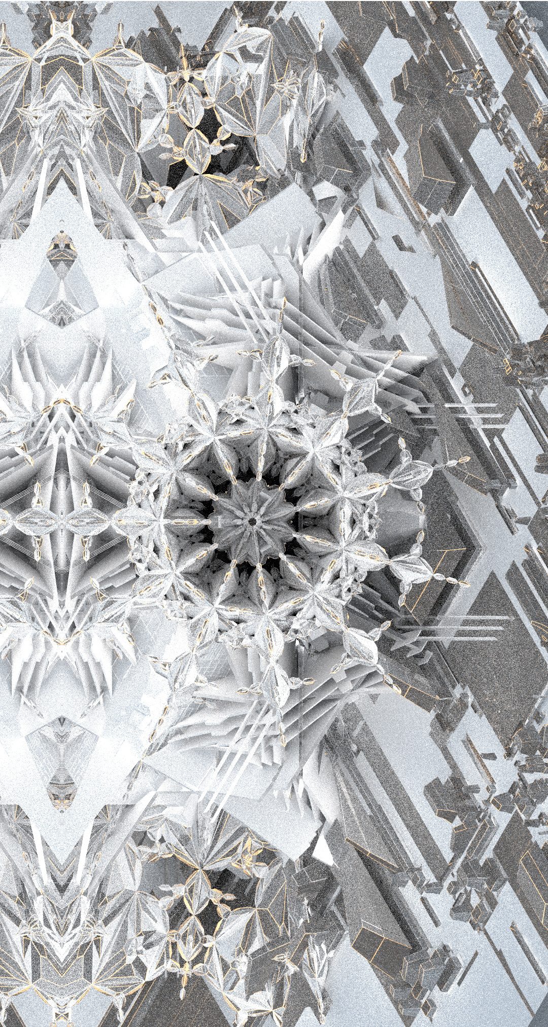
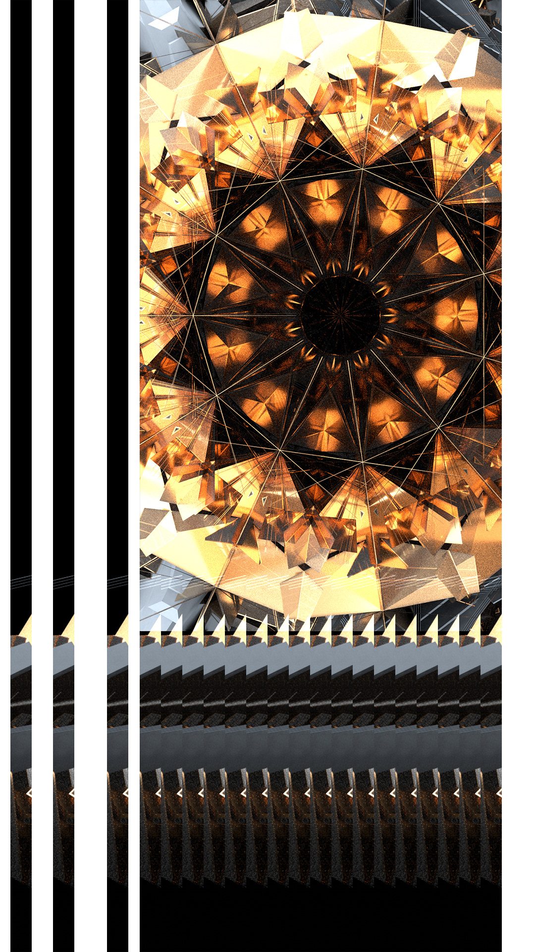
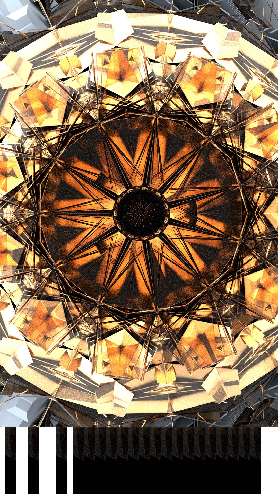
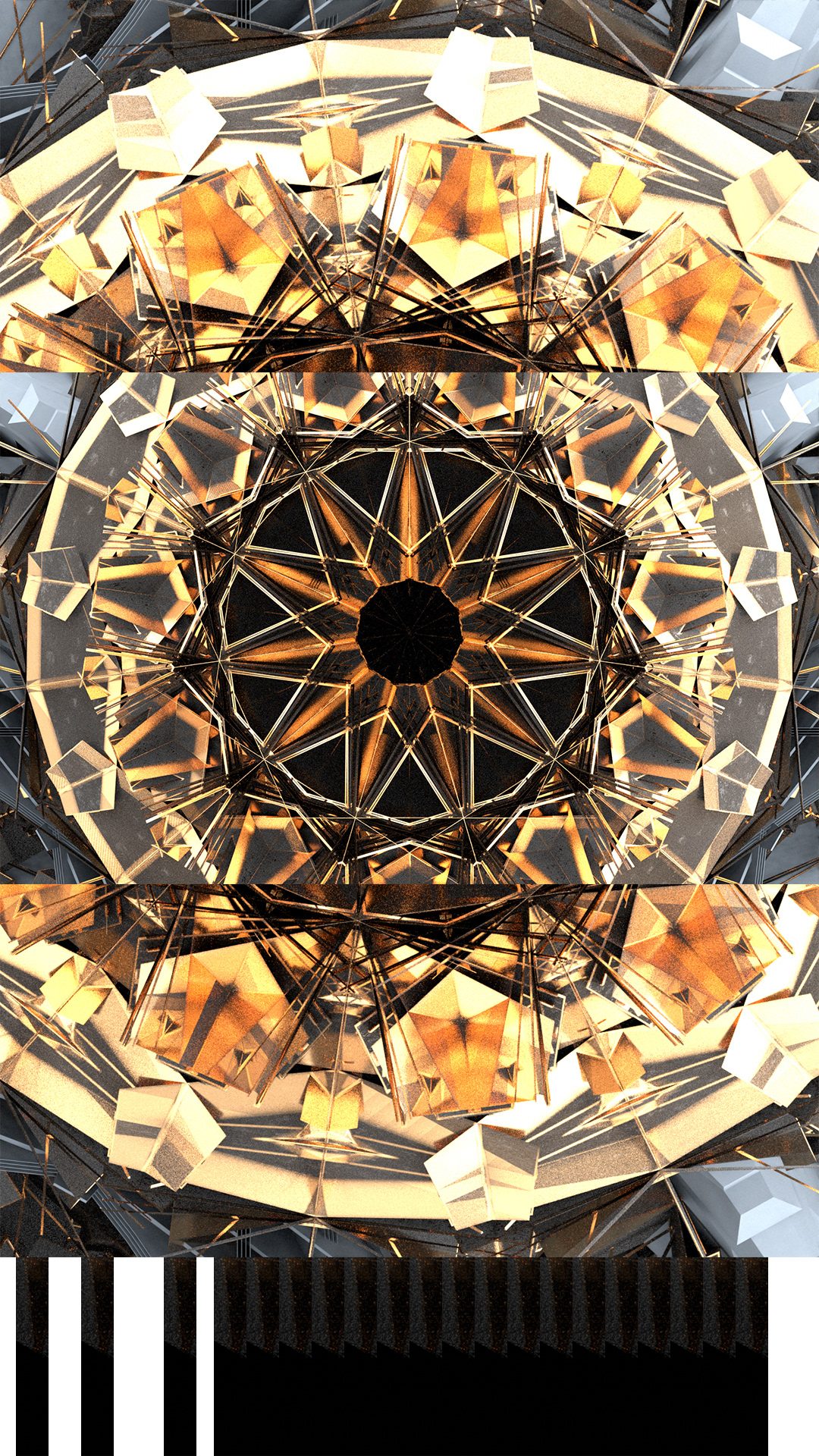
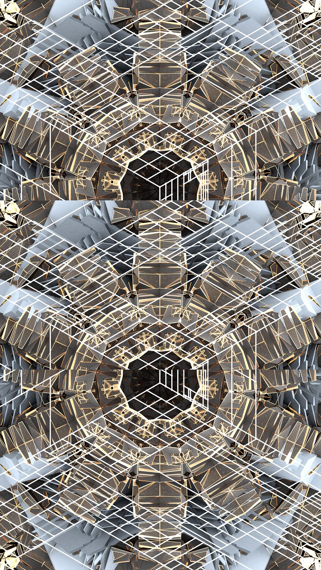
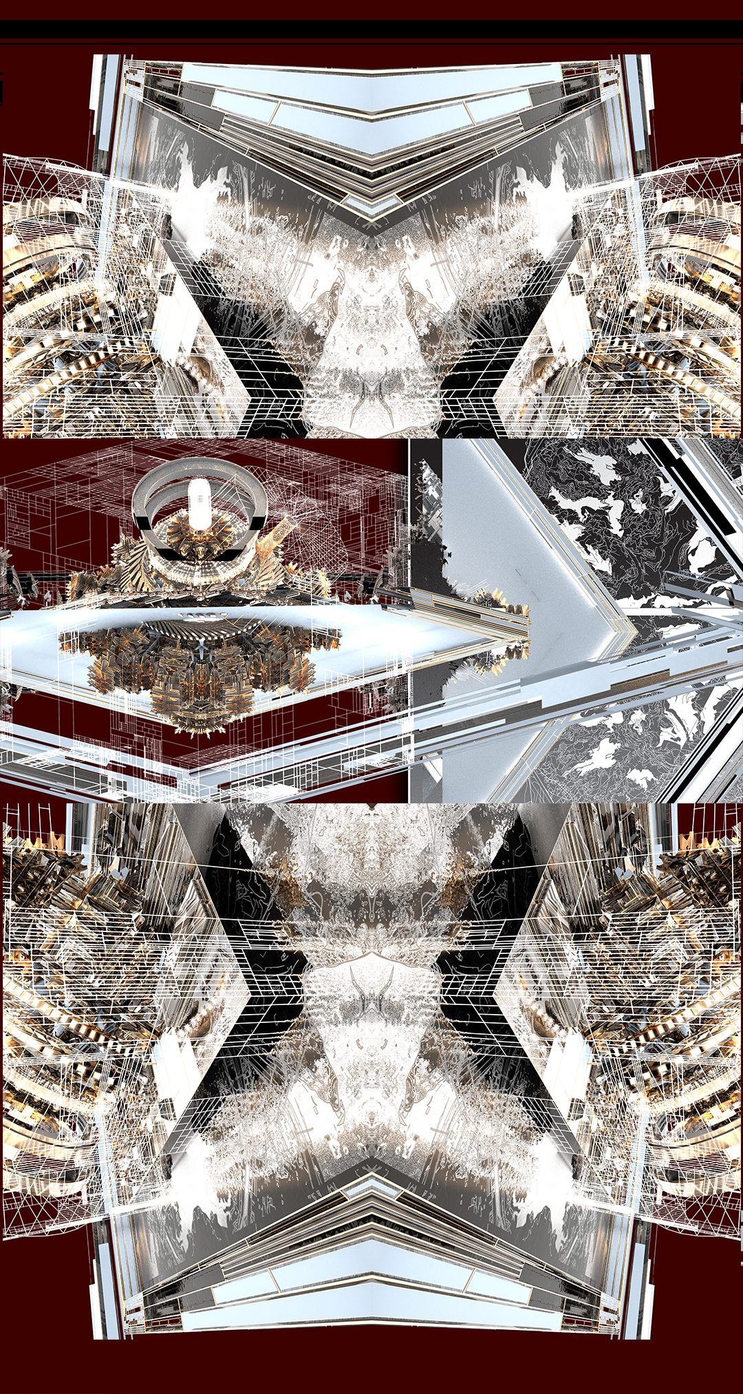
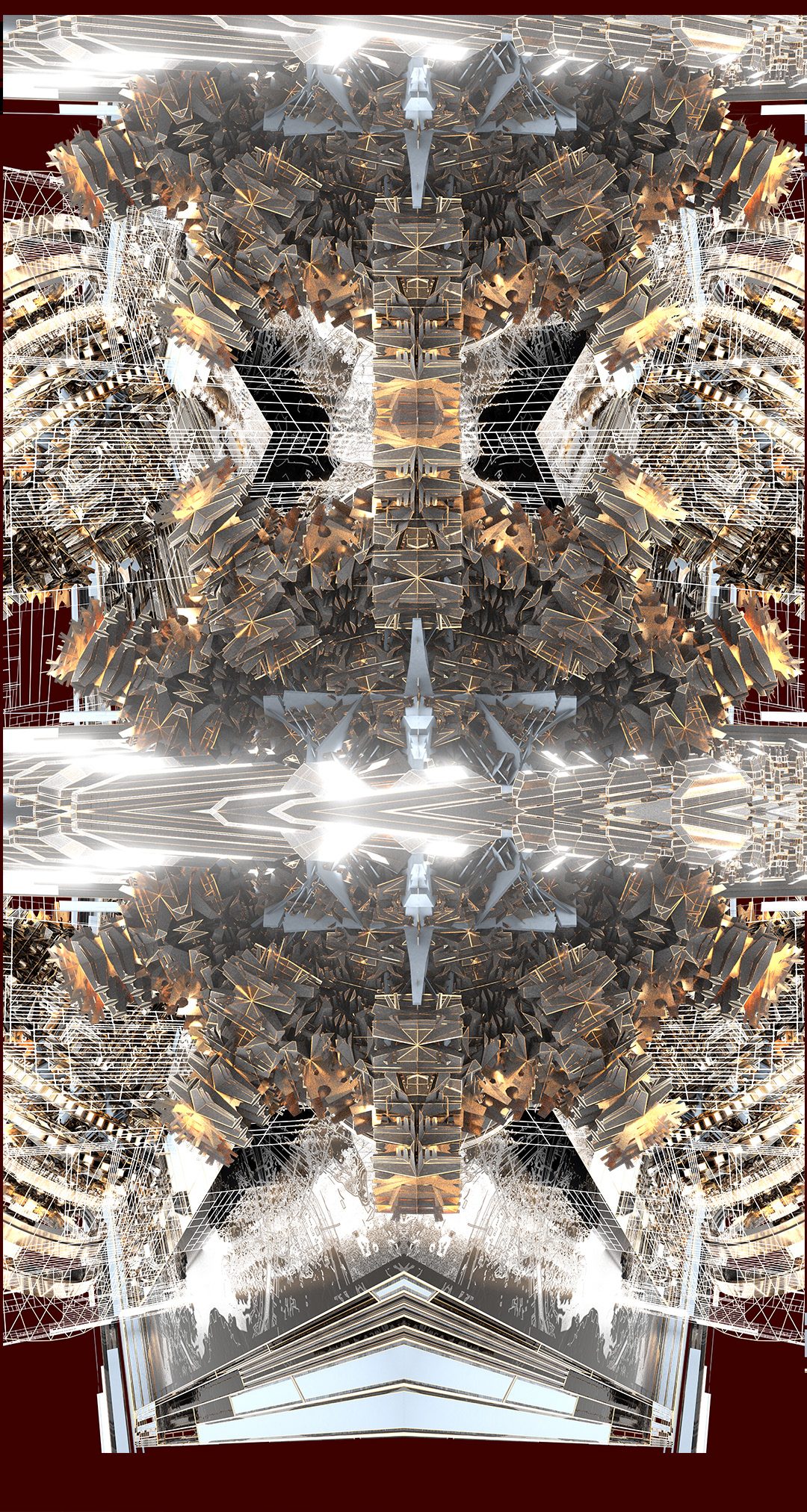
Concept Environment Stills
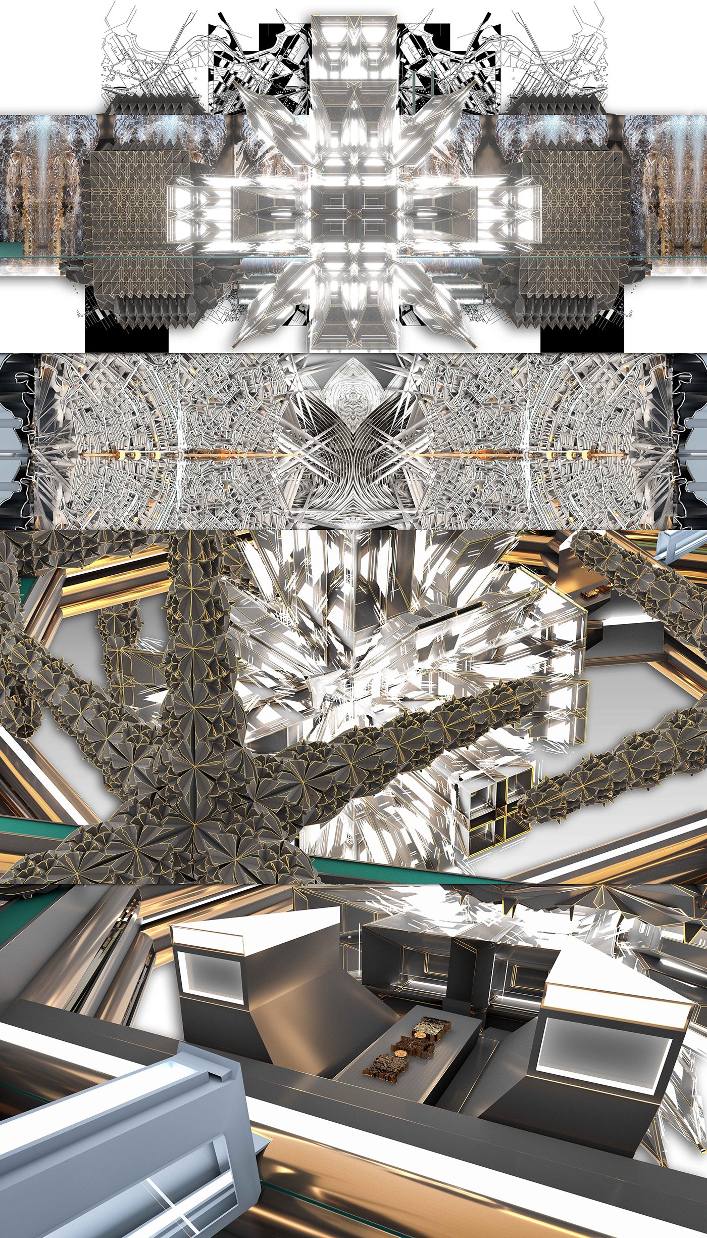
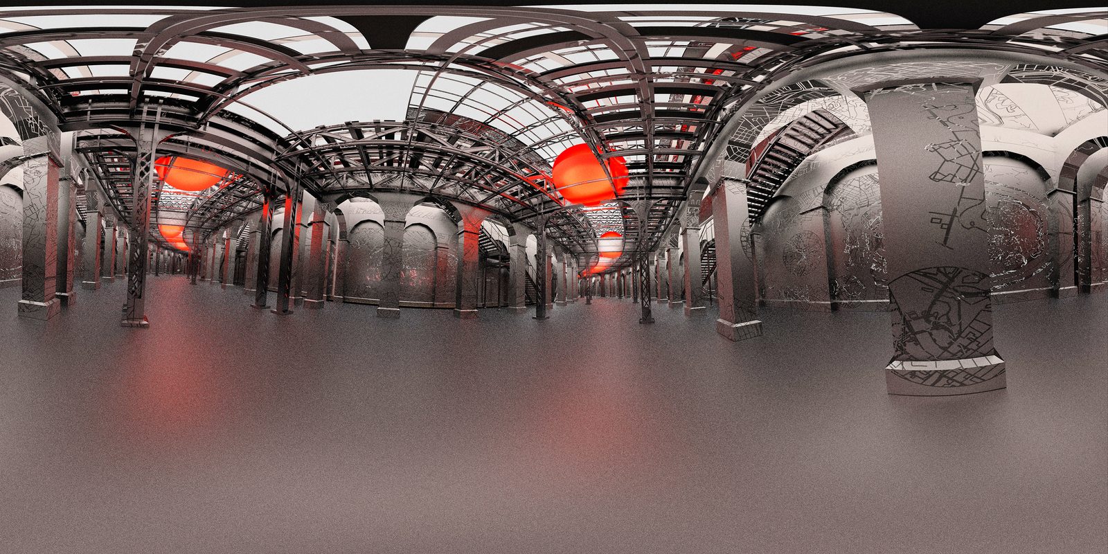
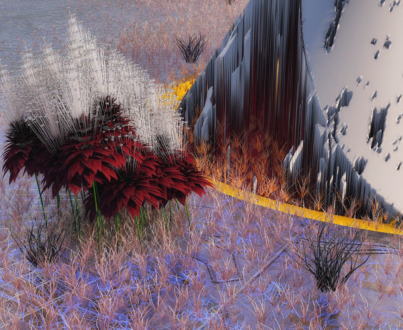
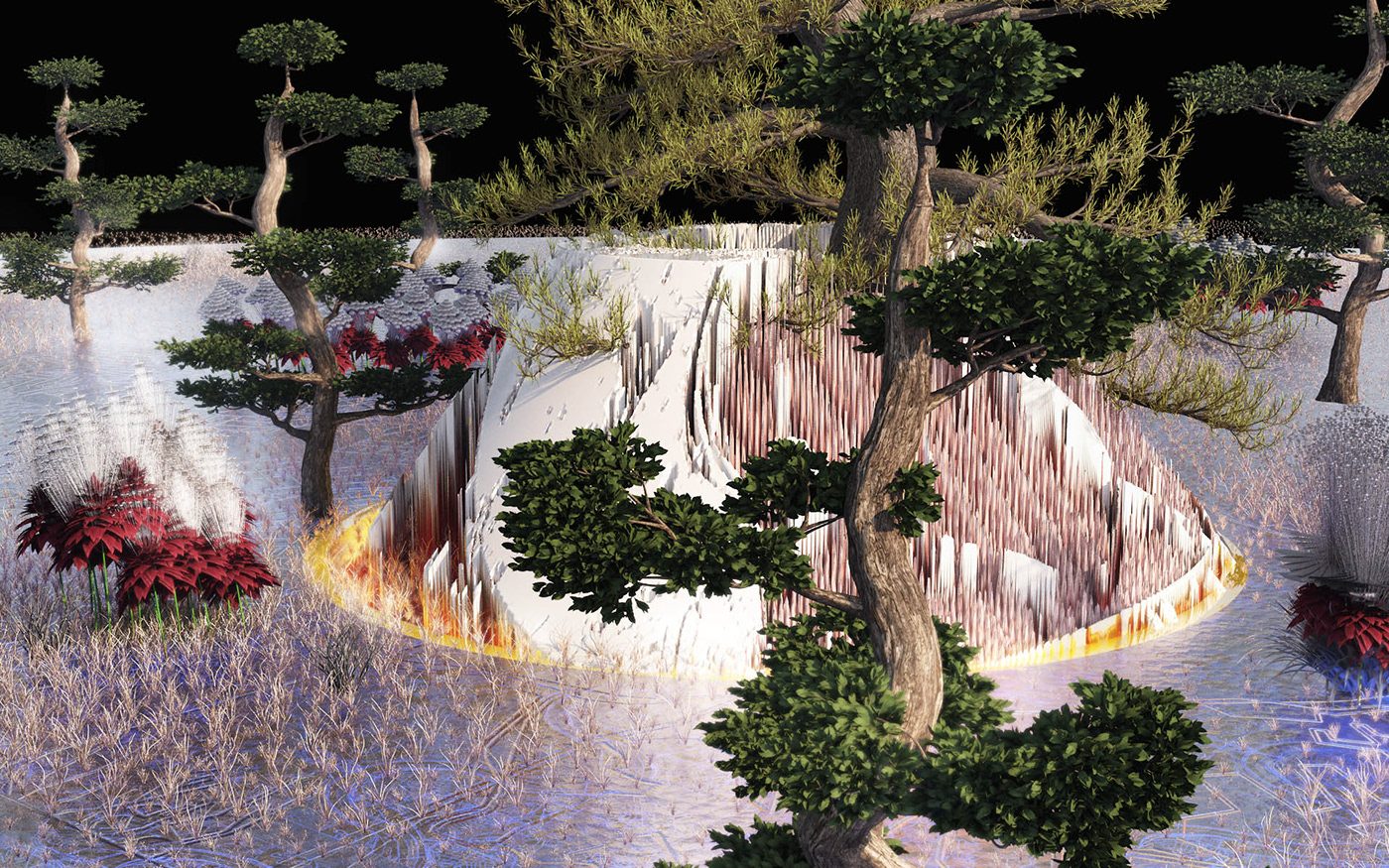
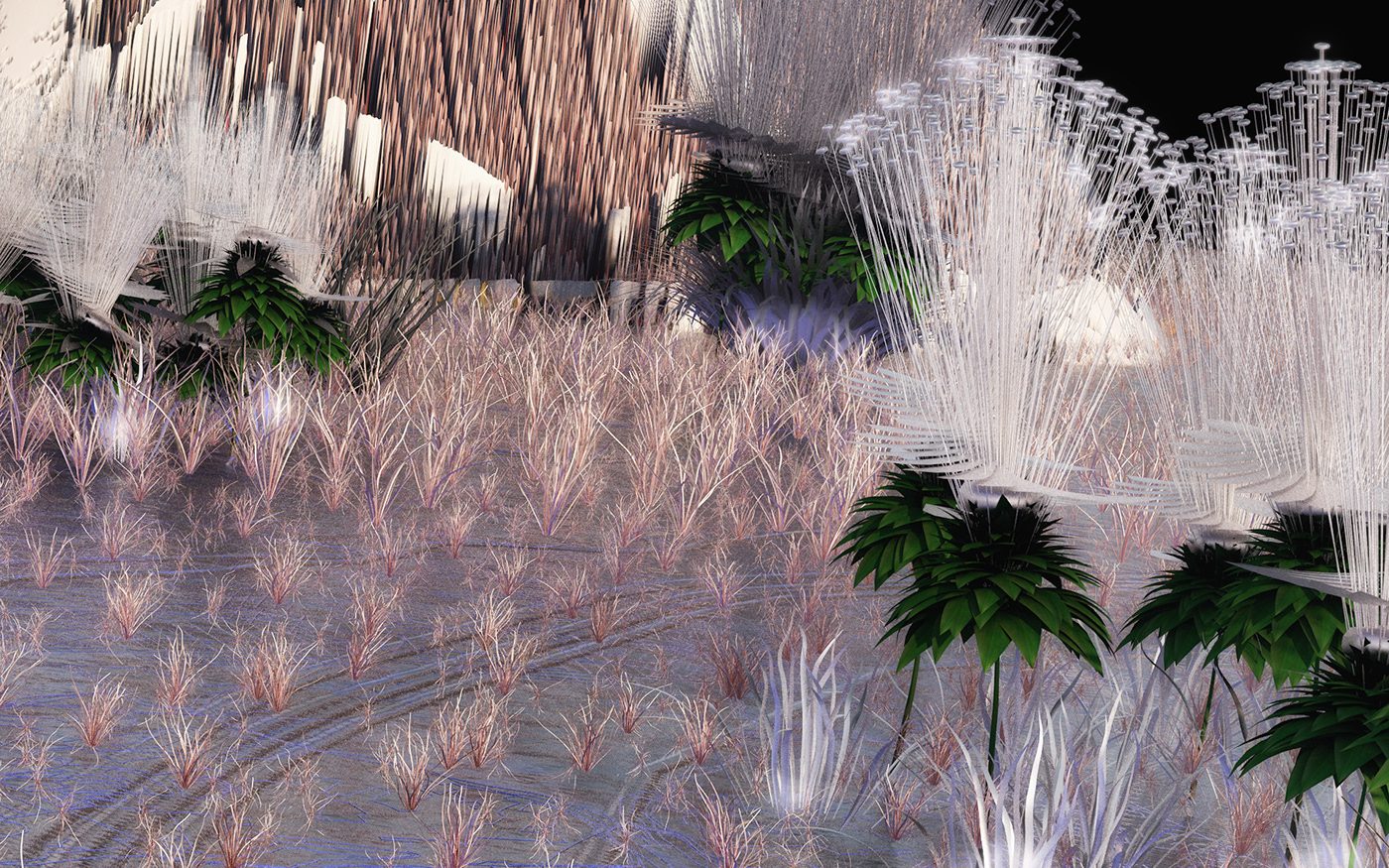
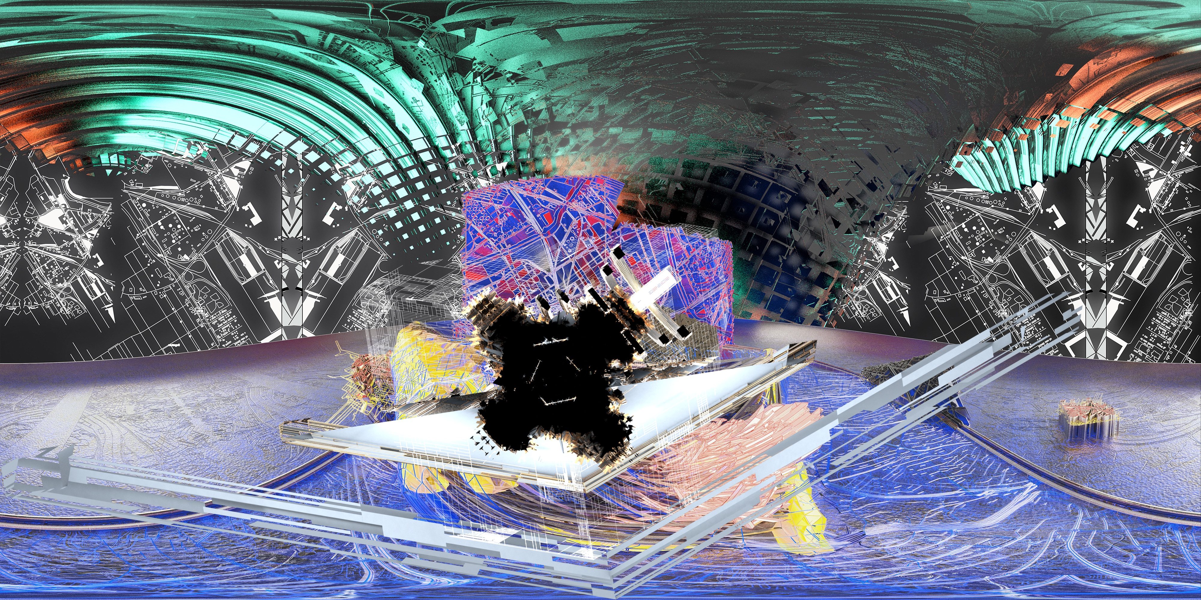
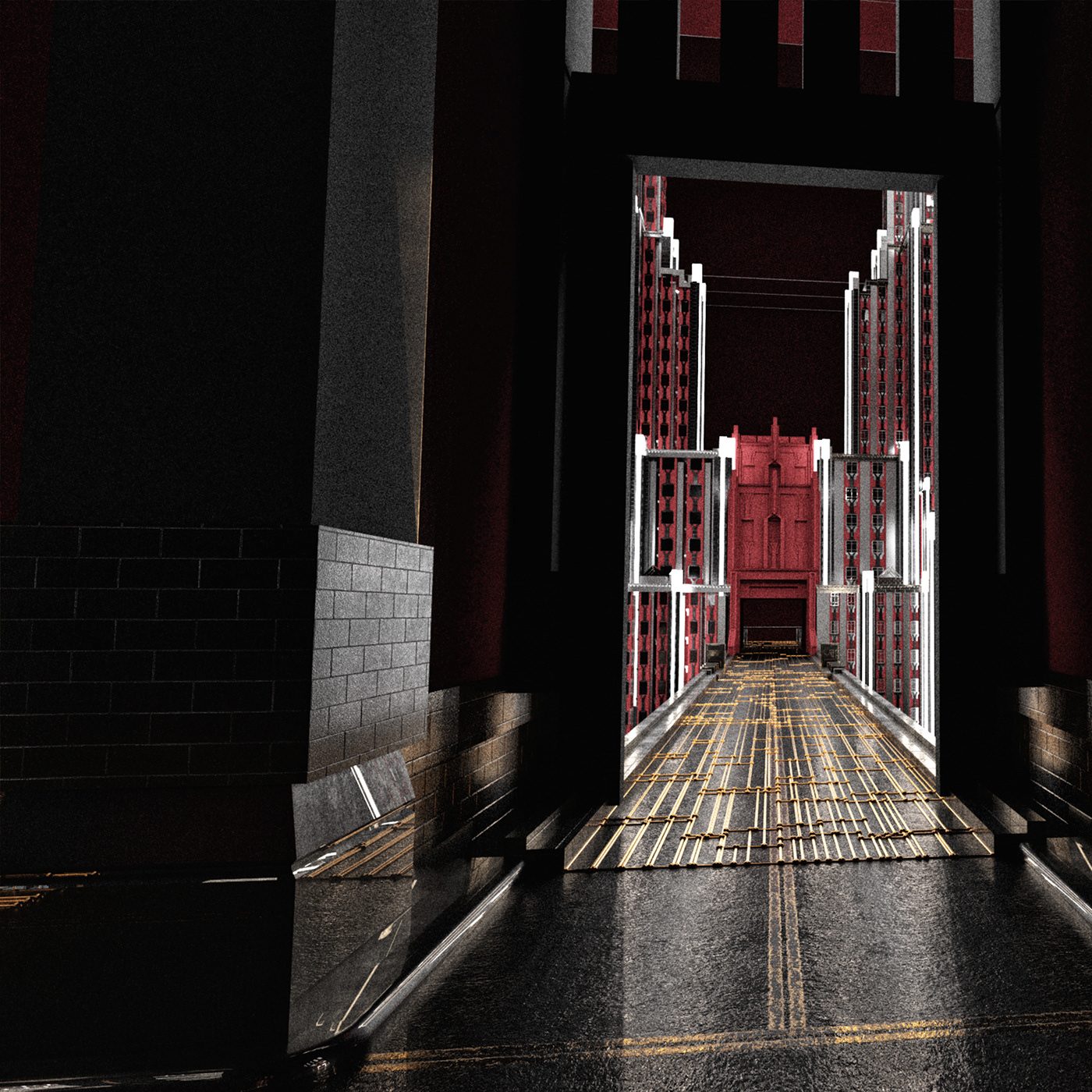
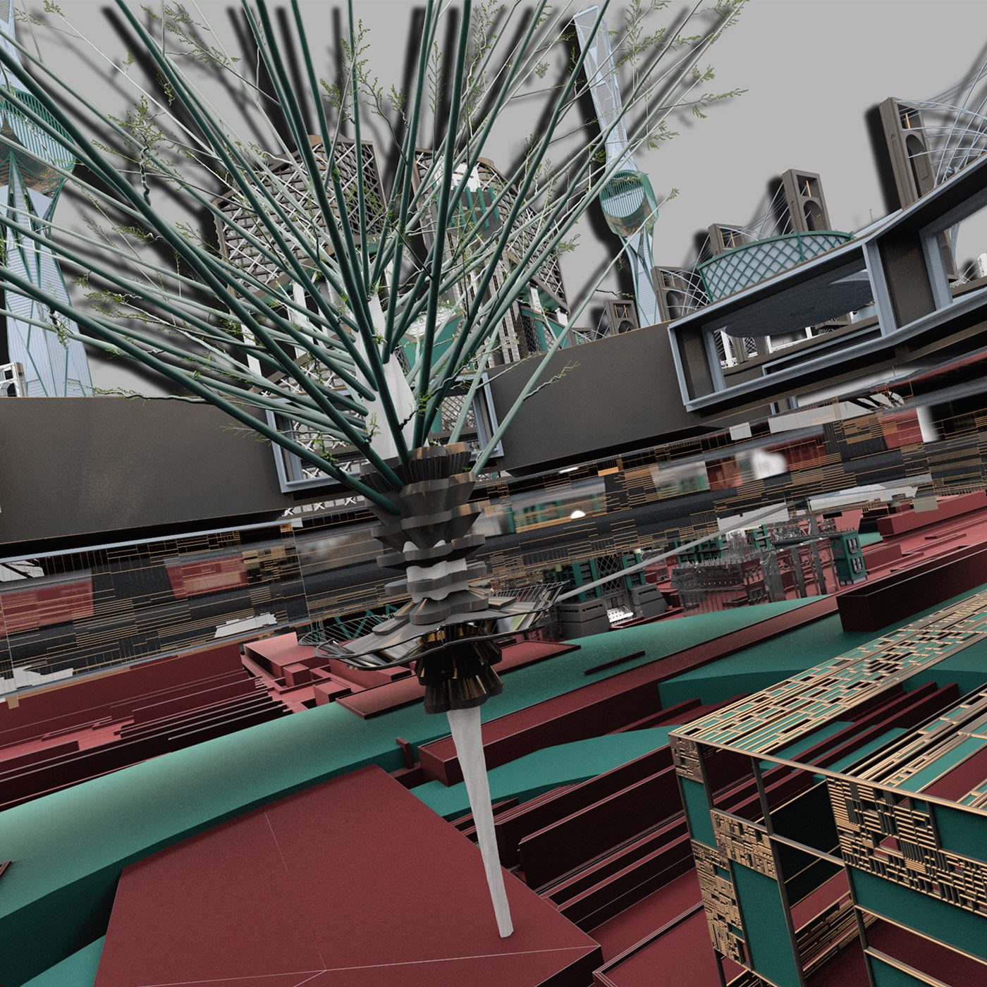
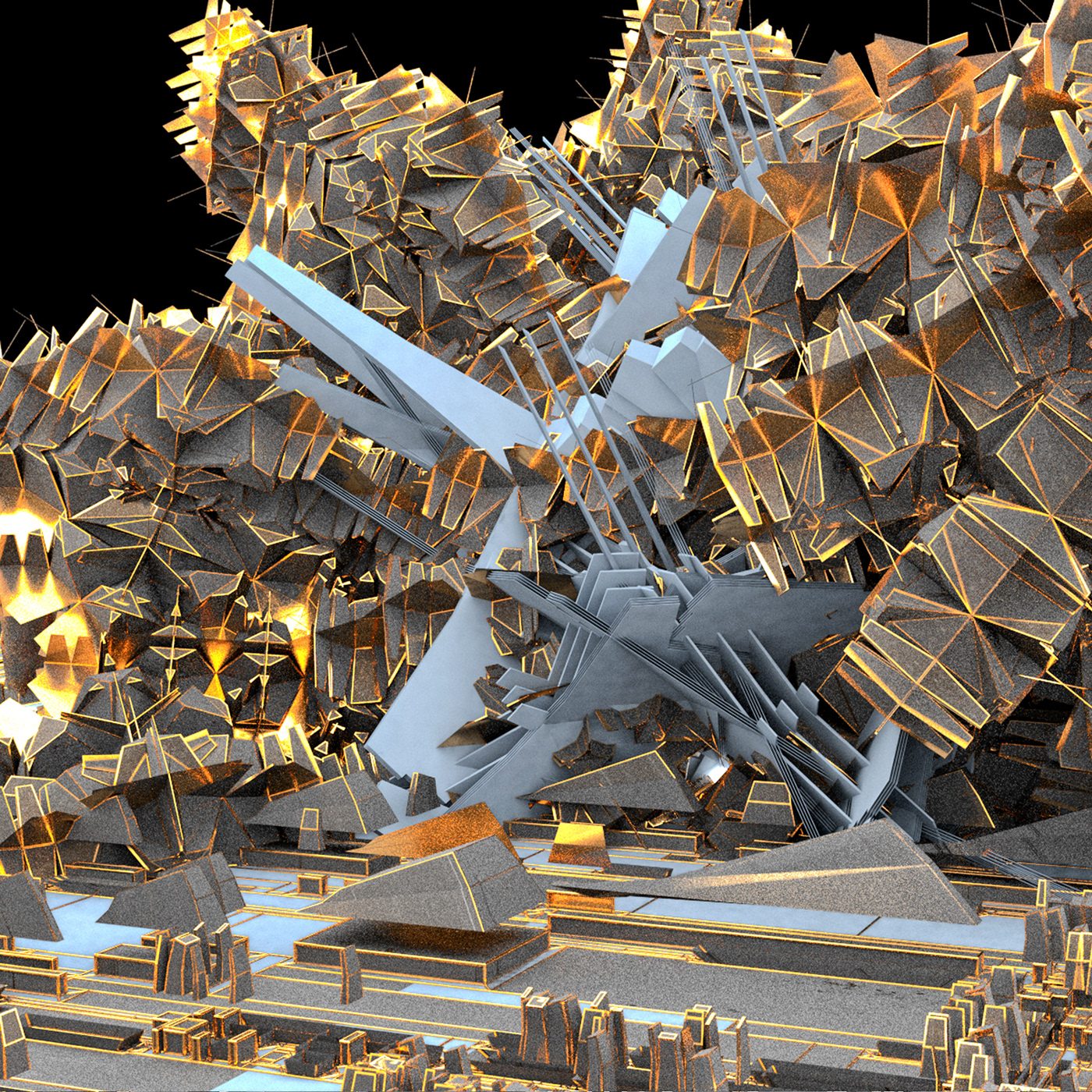
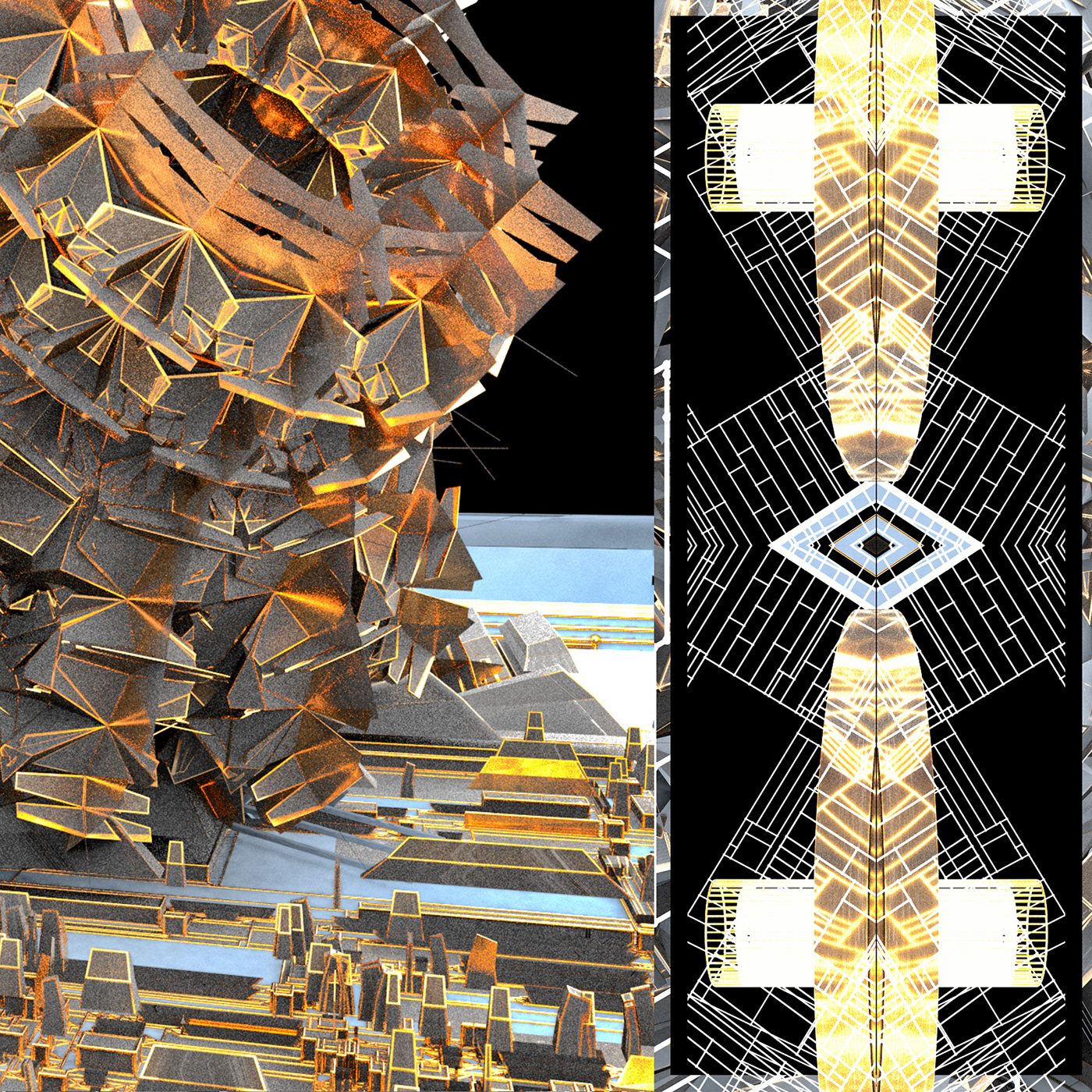
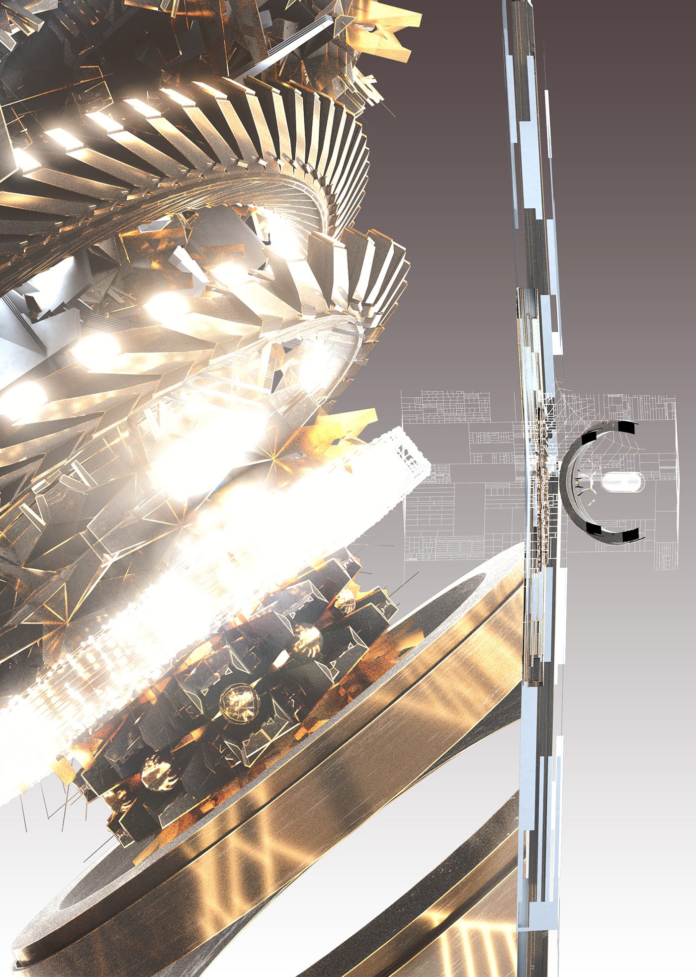
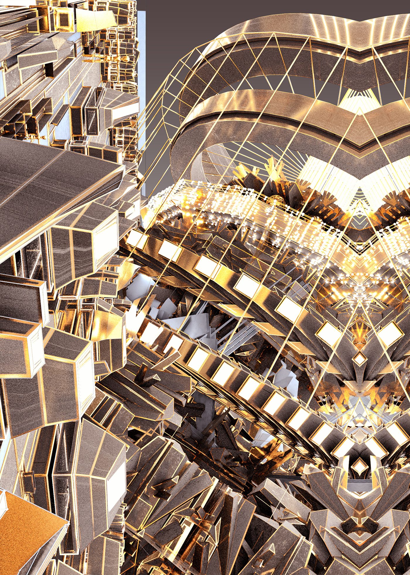
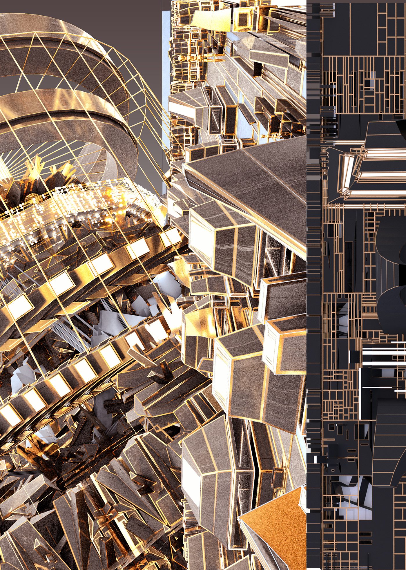
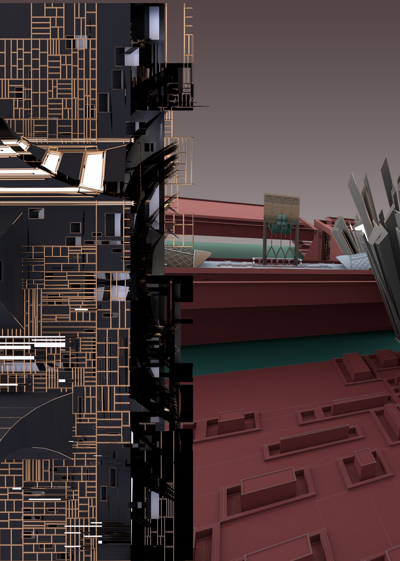
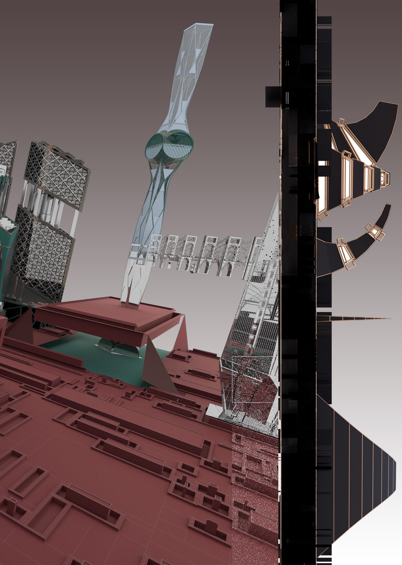
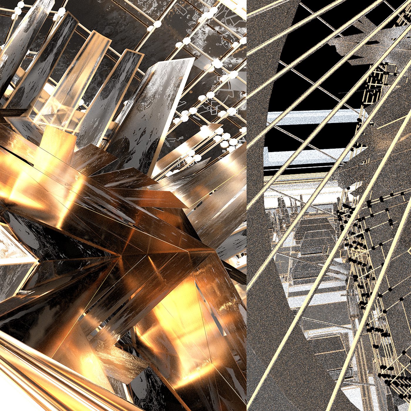
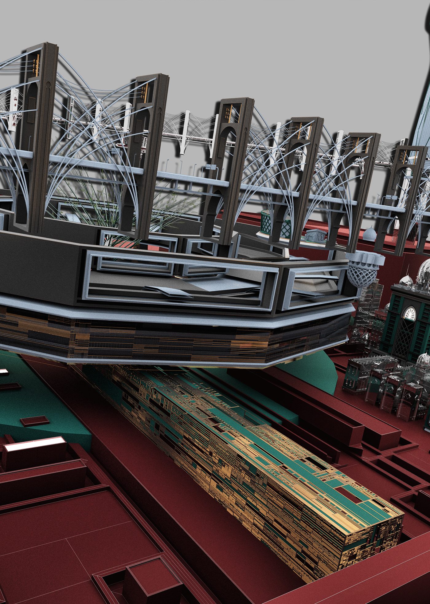
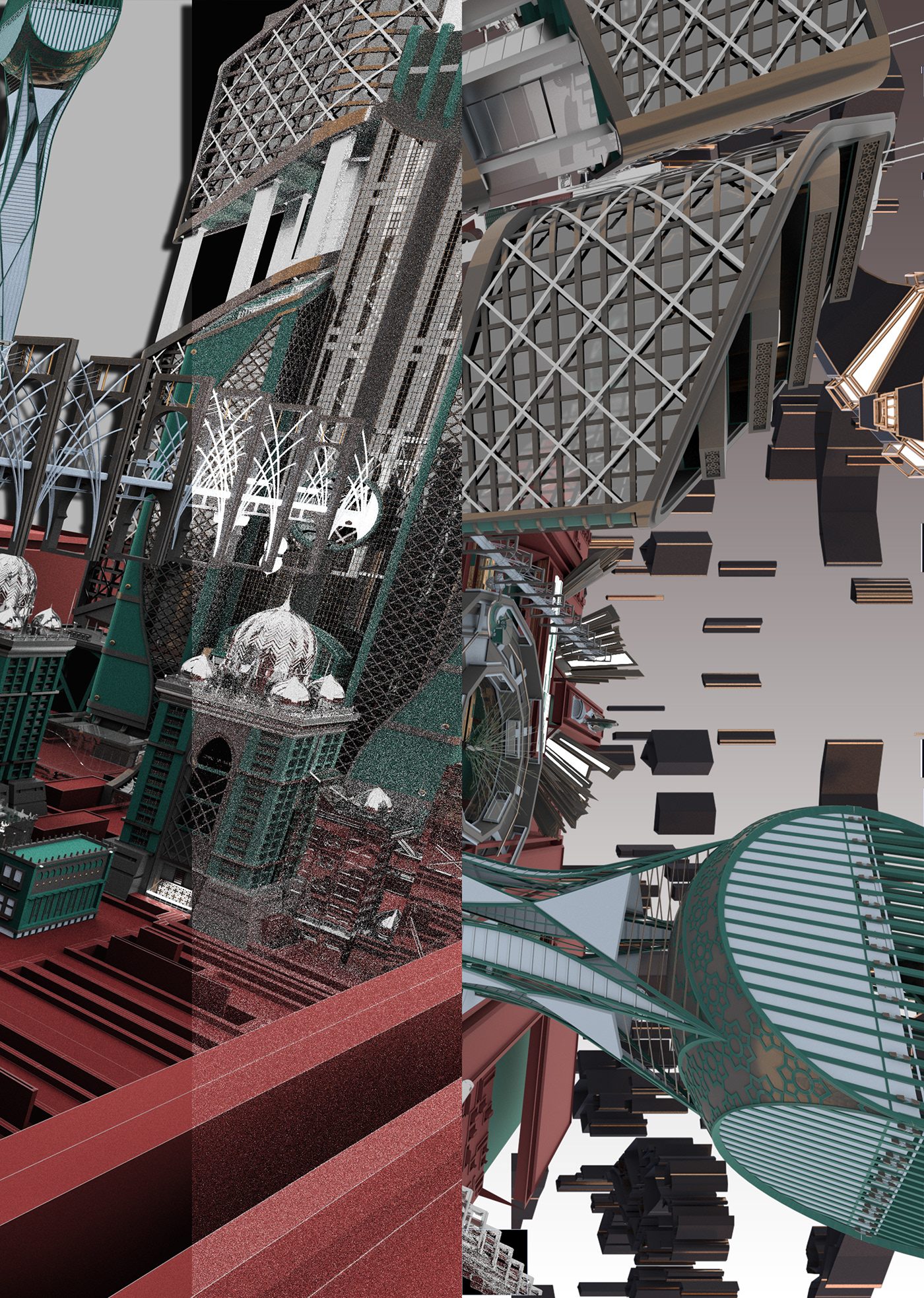
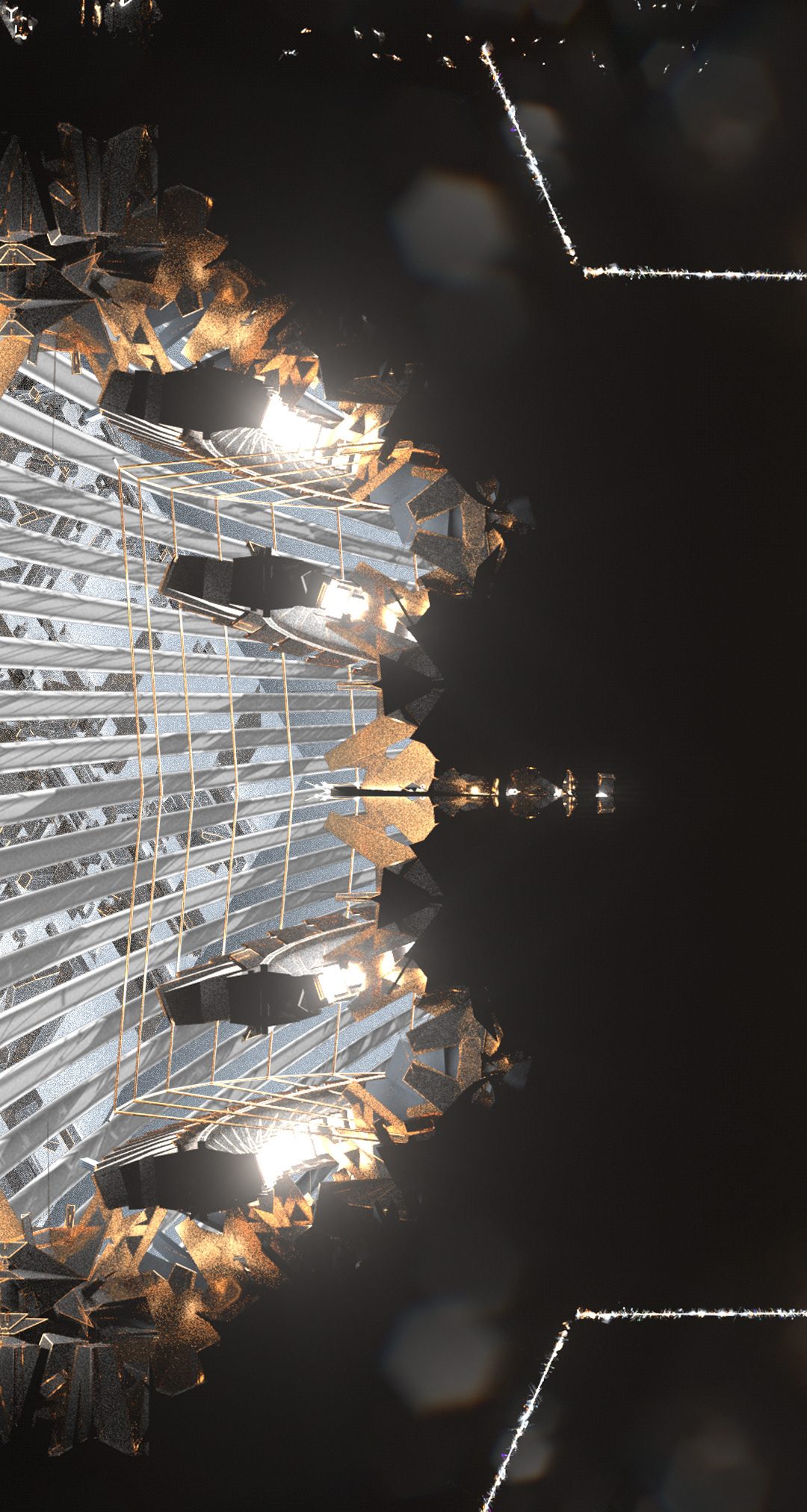
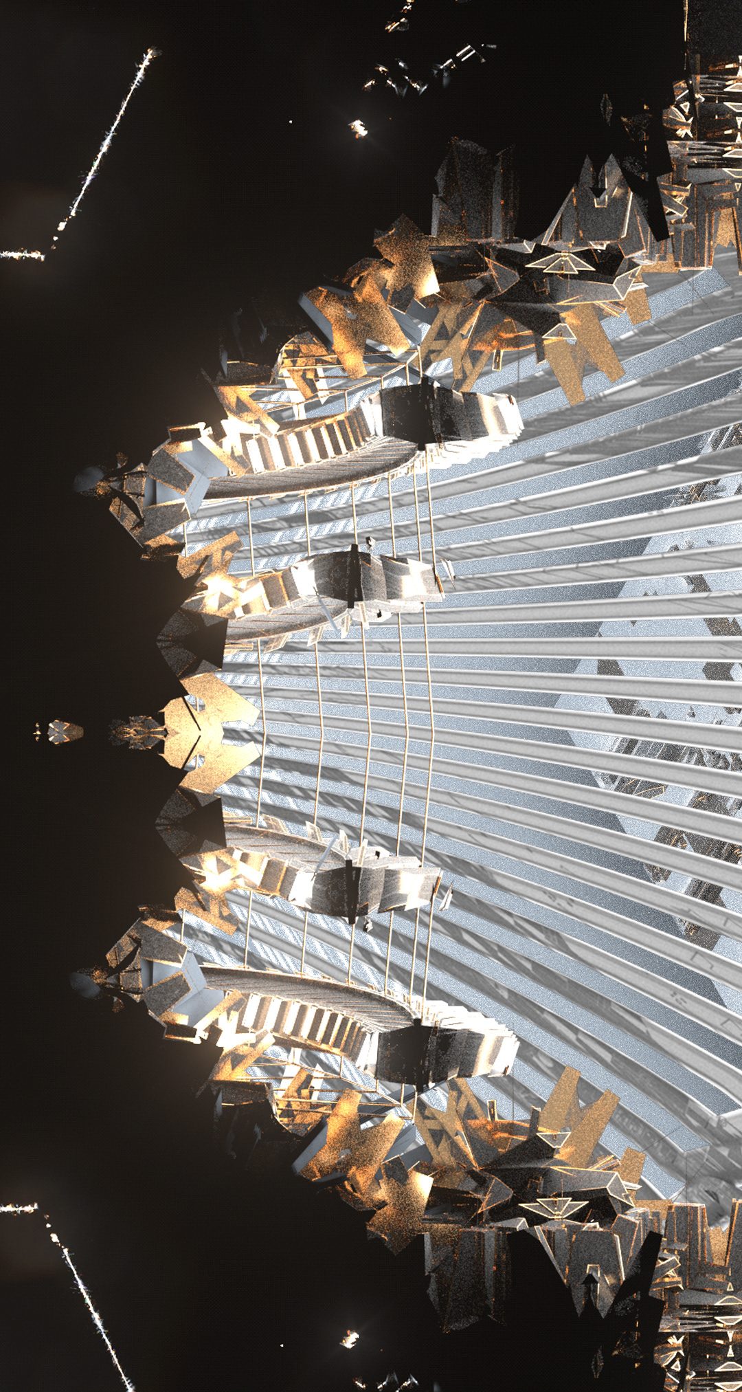
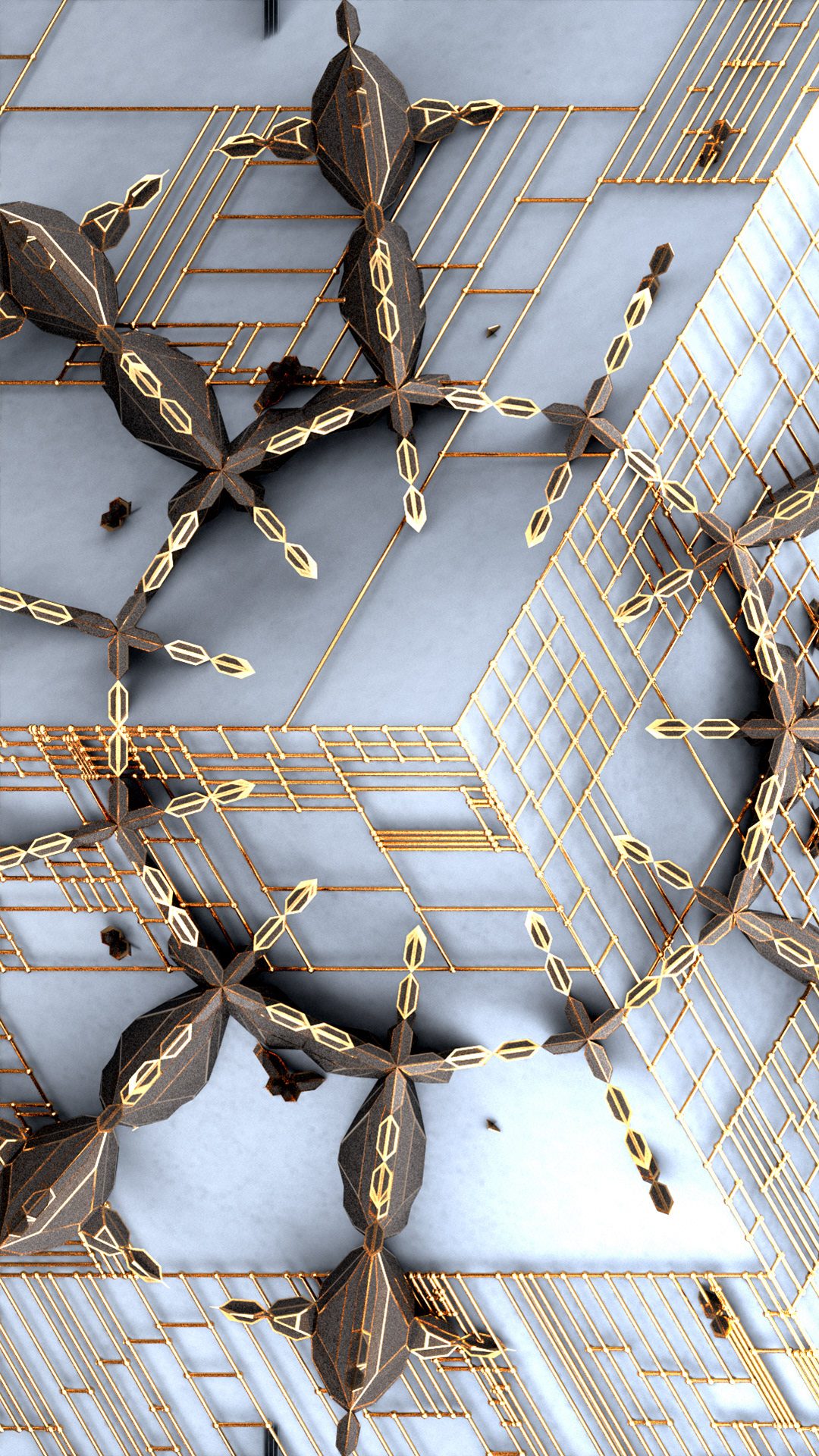
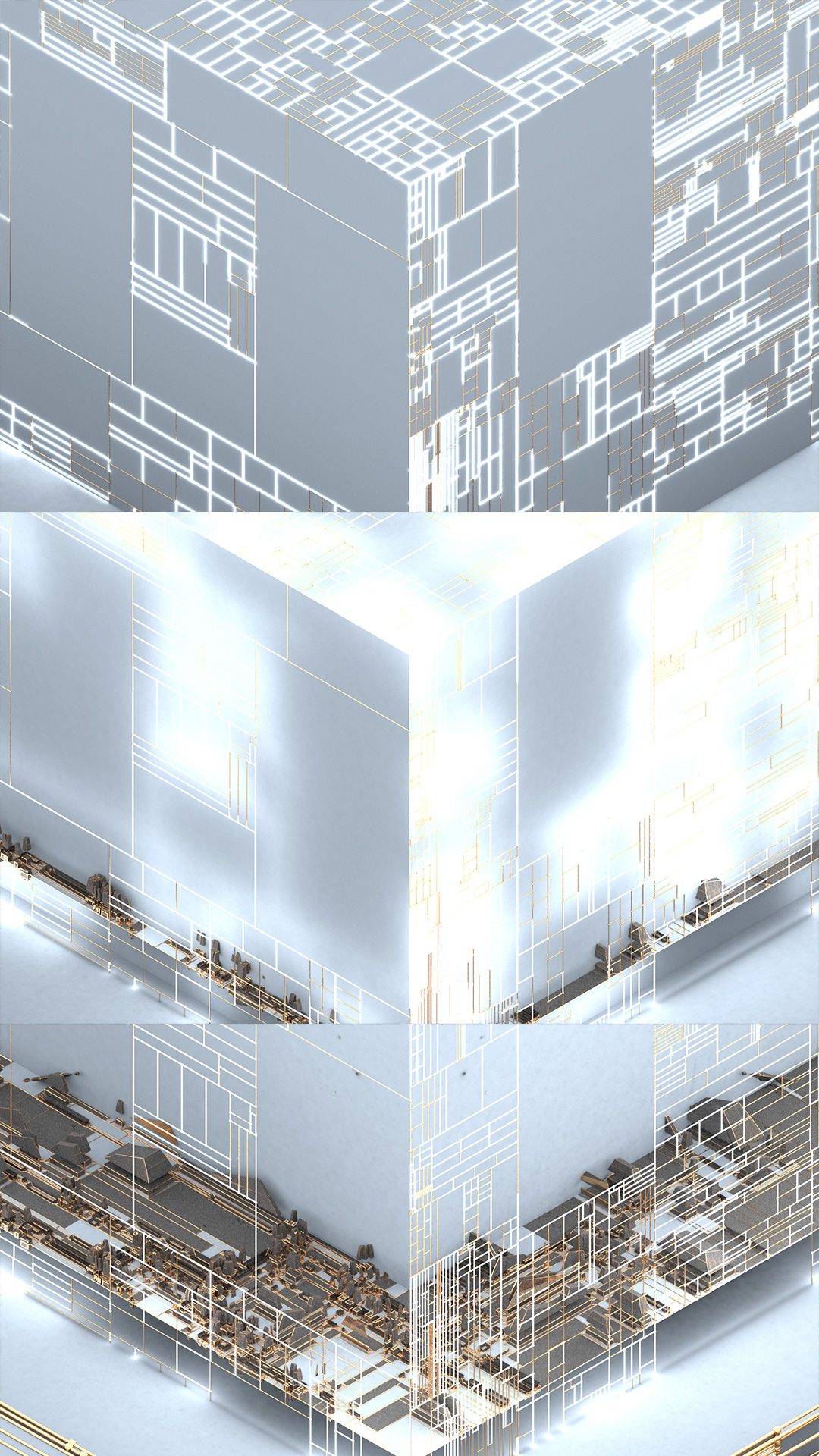
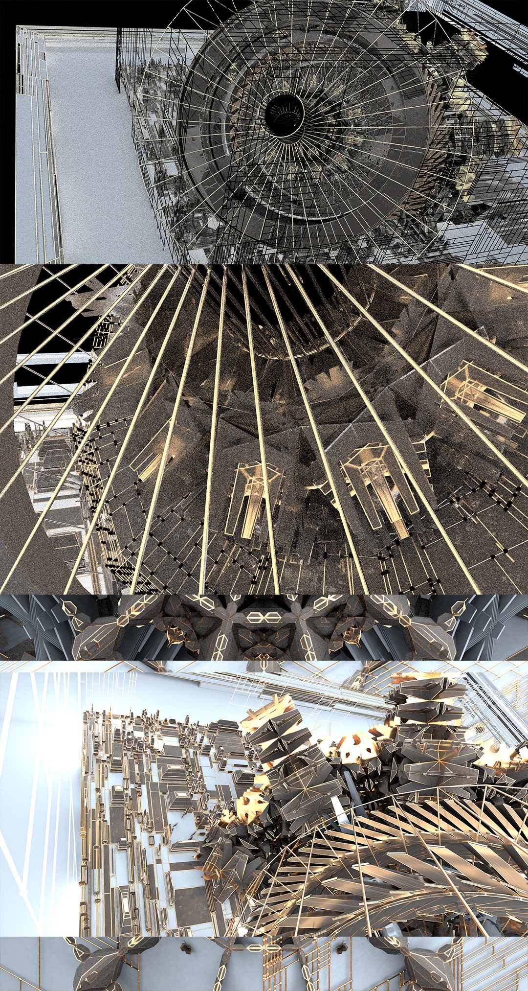
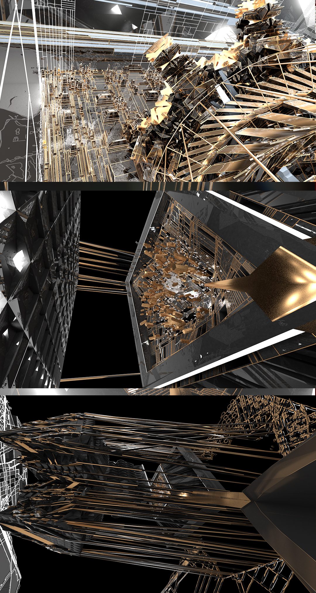
Assets and structures I've already built out for the open world landscape I'm currently designing to place them in.
Assets and structures I've already built out for the open world landscape I'm currently designing to place them in.
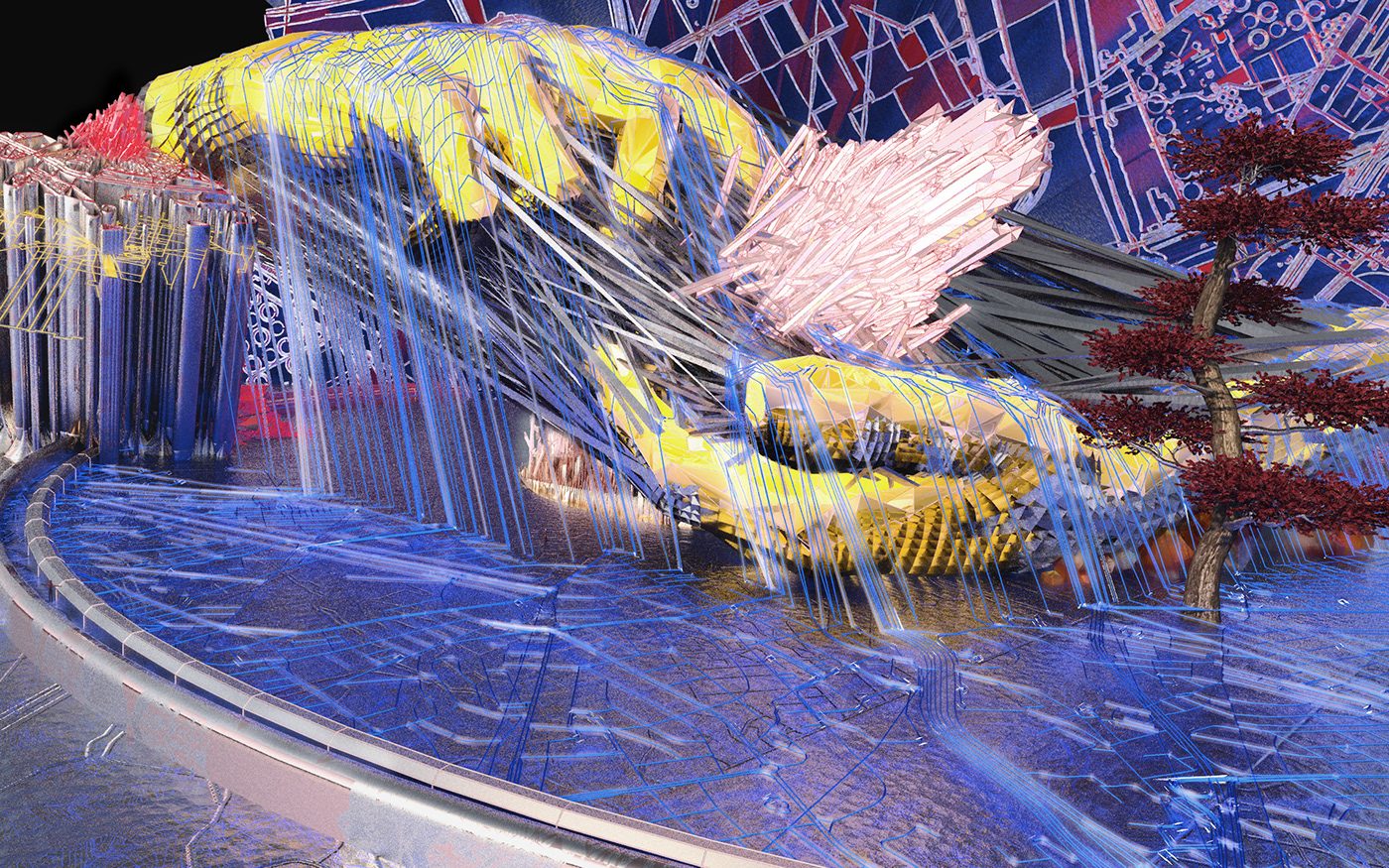
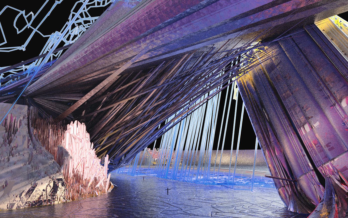
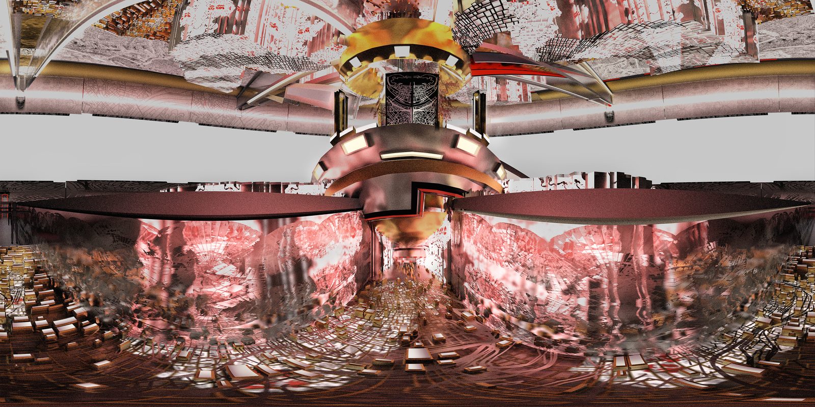
Process/Glyphs/Base Images
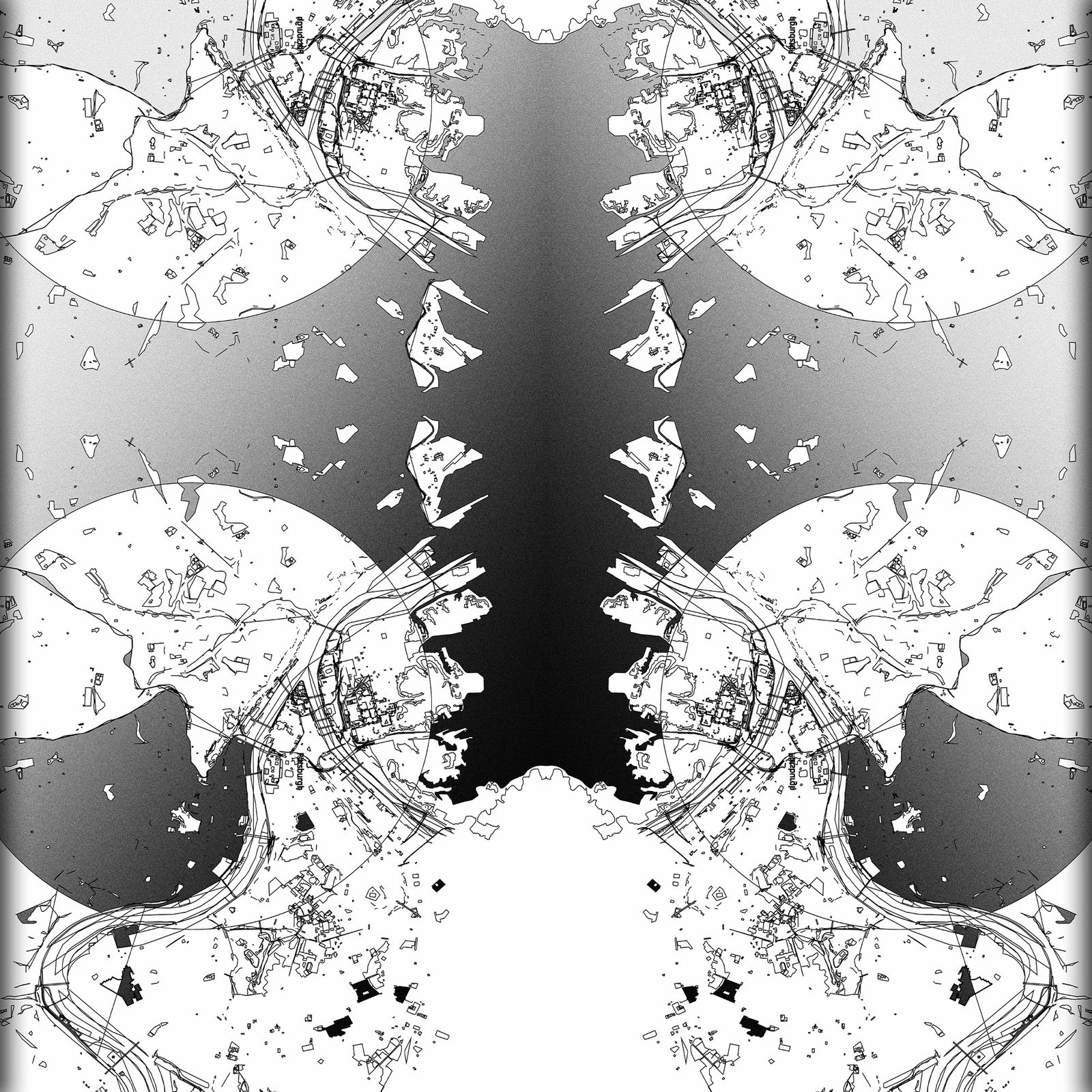
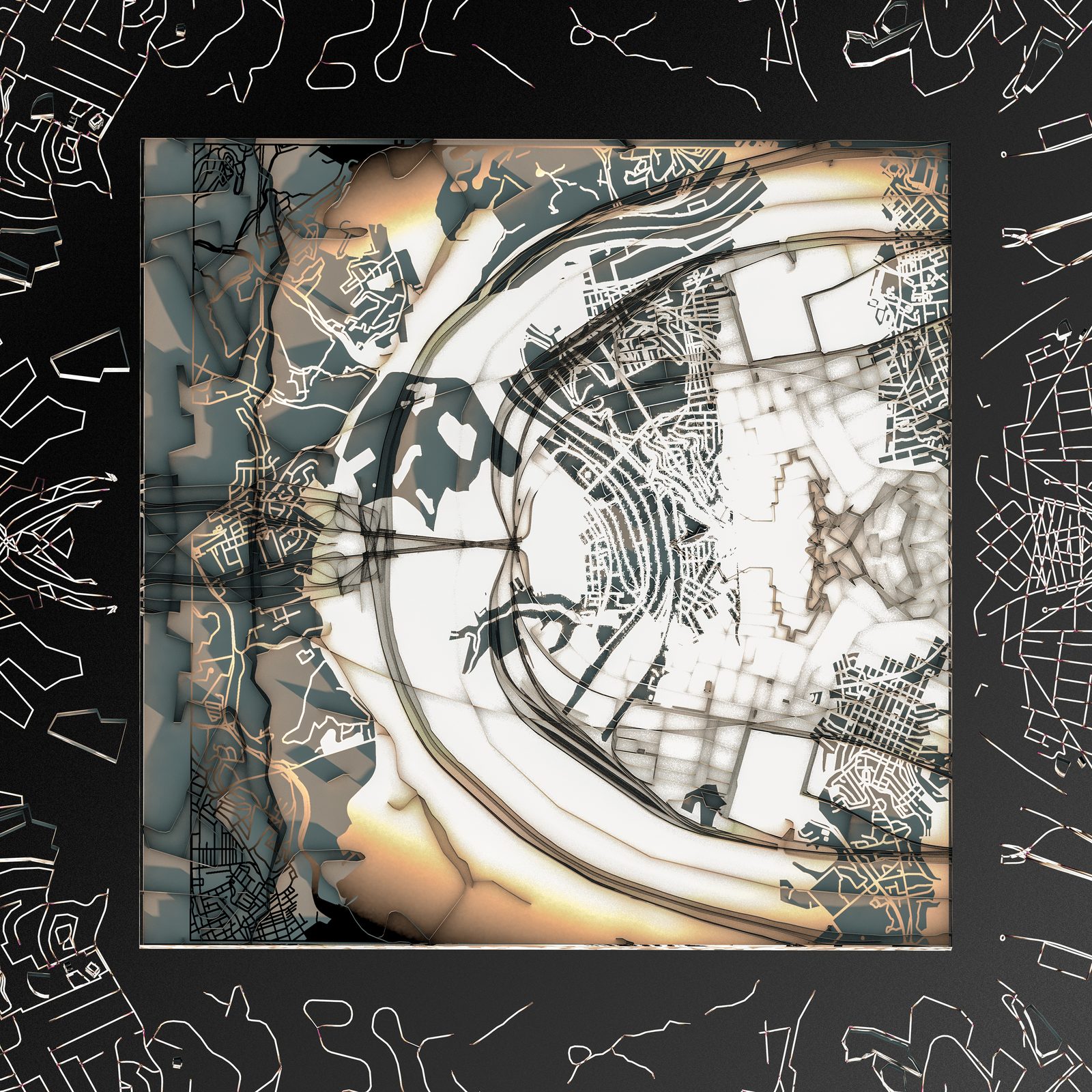
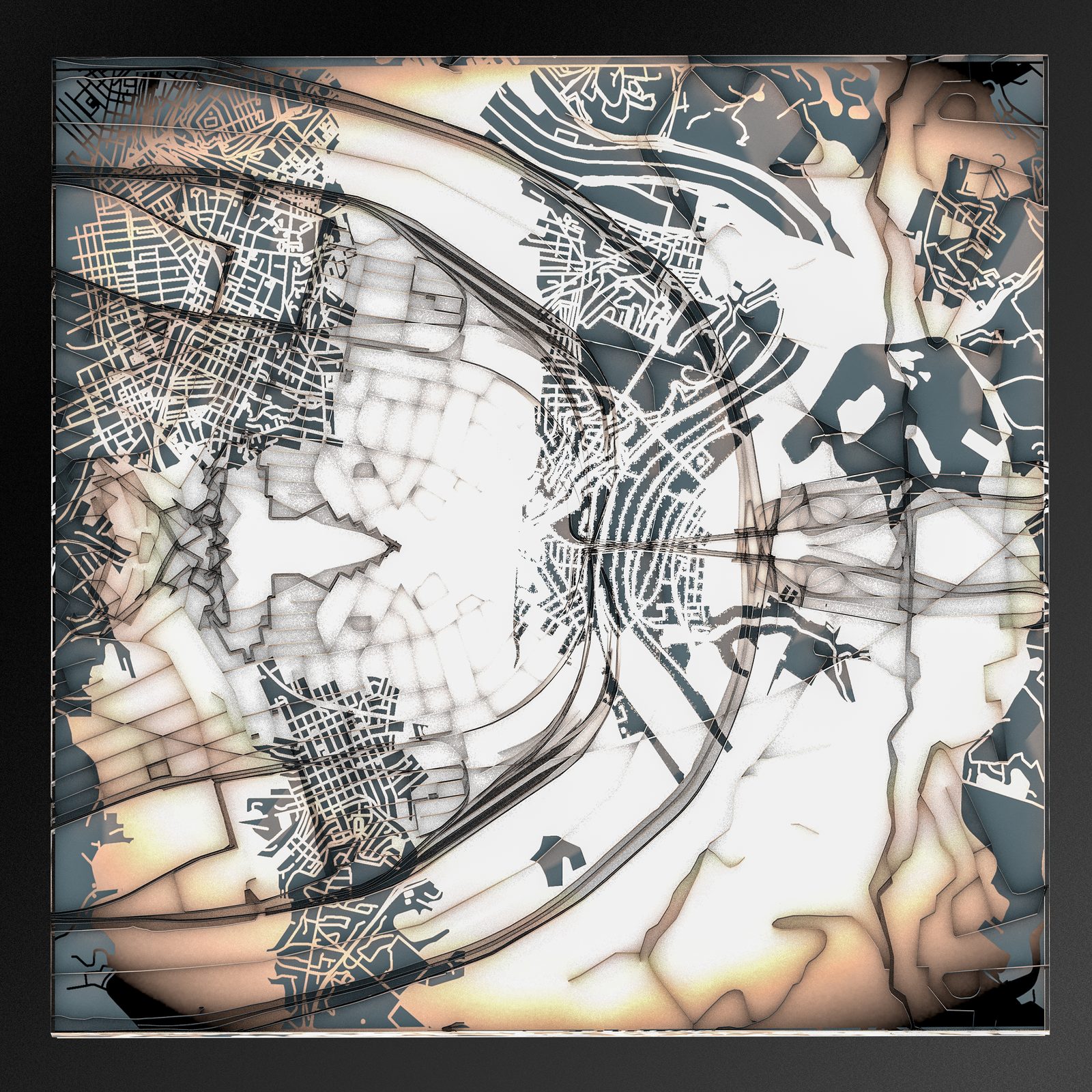
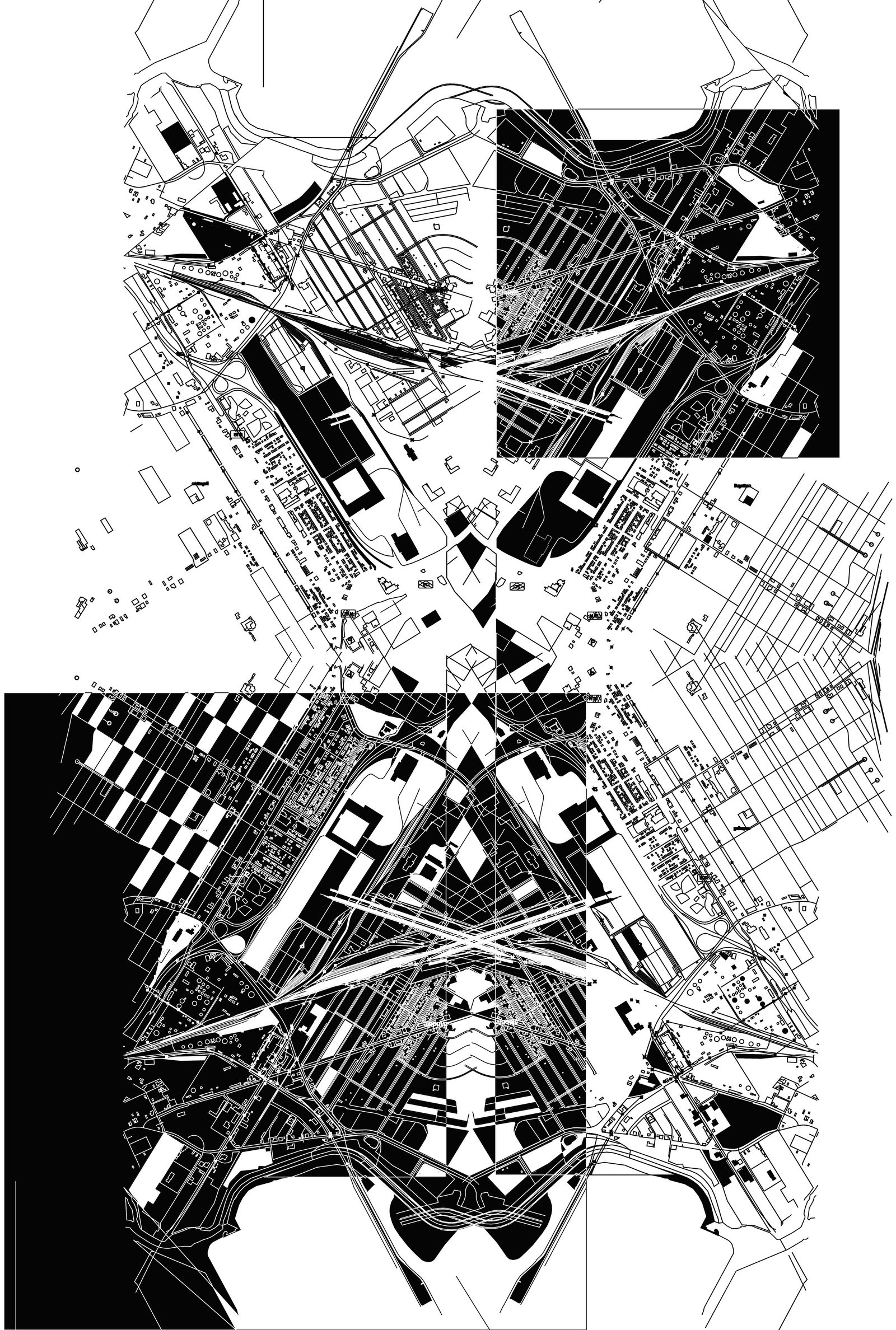
Pittsburgh | Braddock
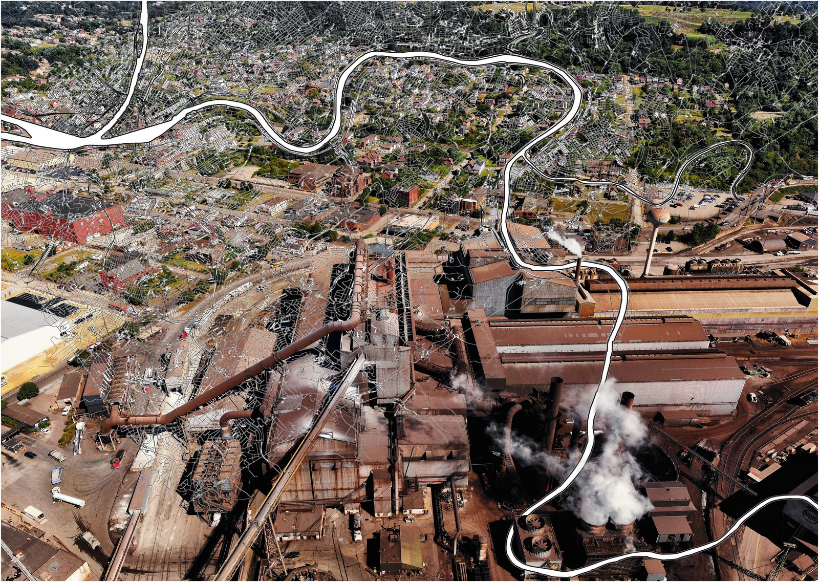
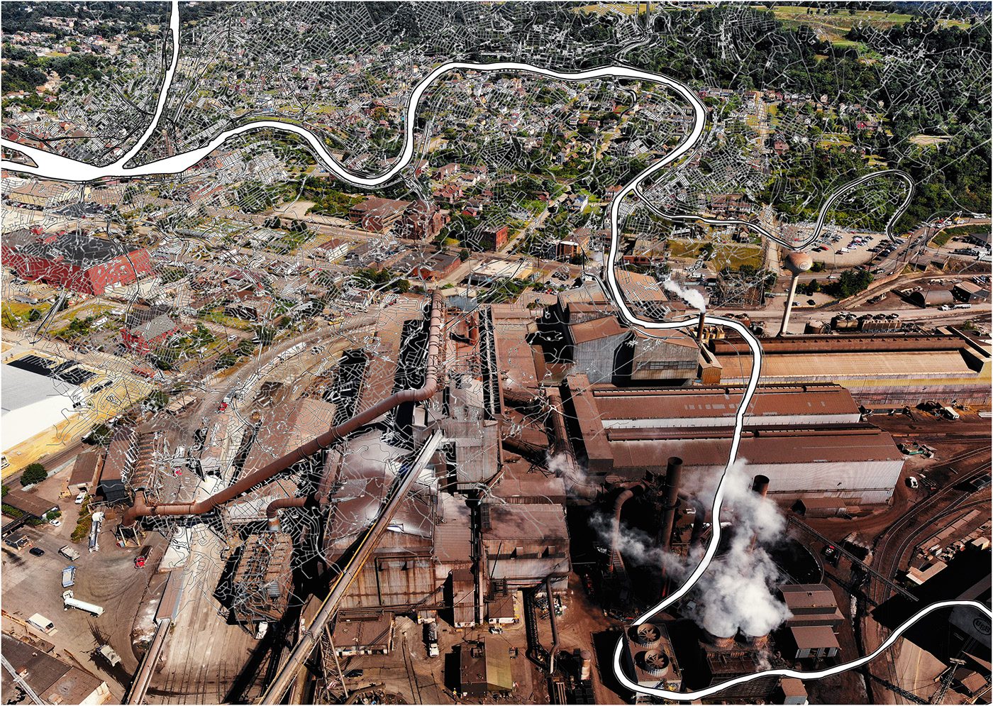
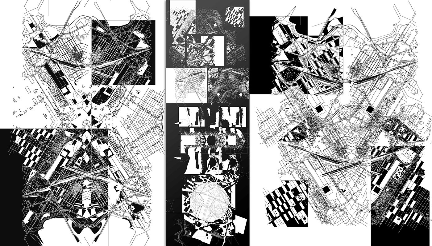
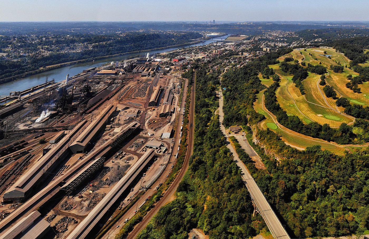
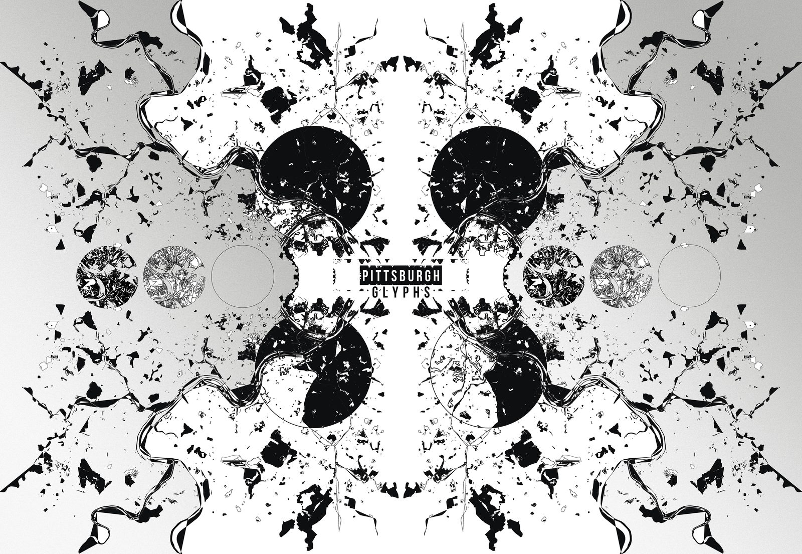
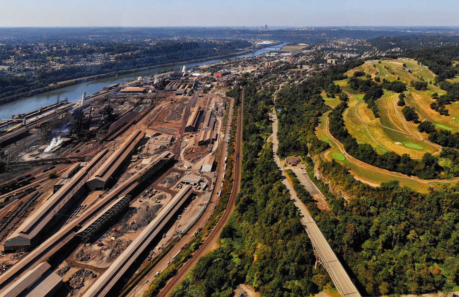
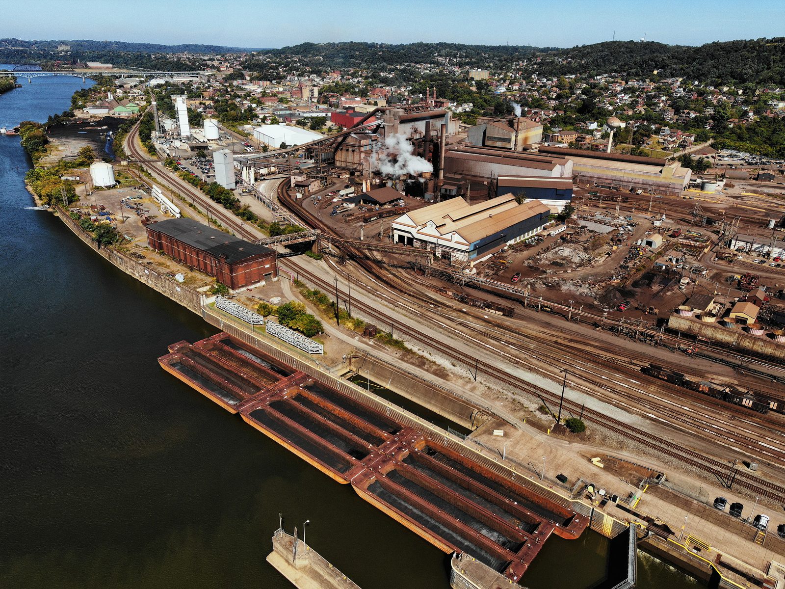
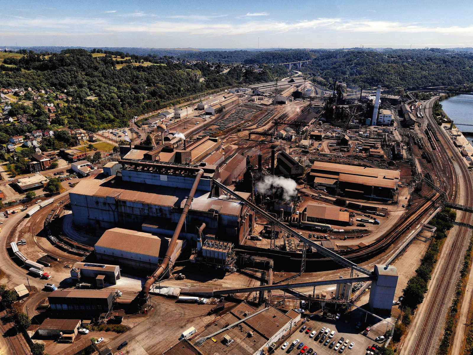
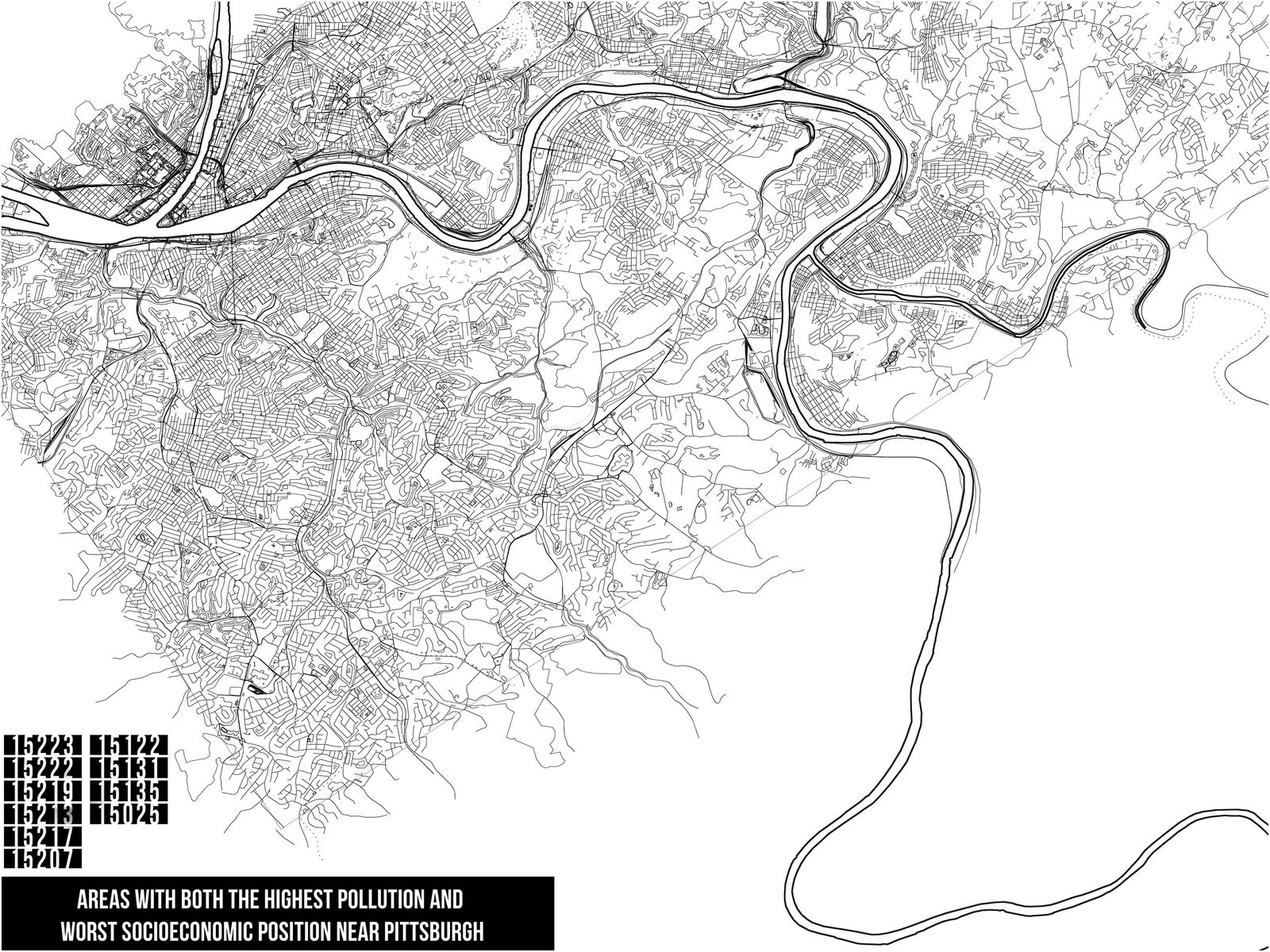
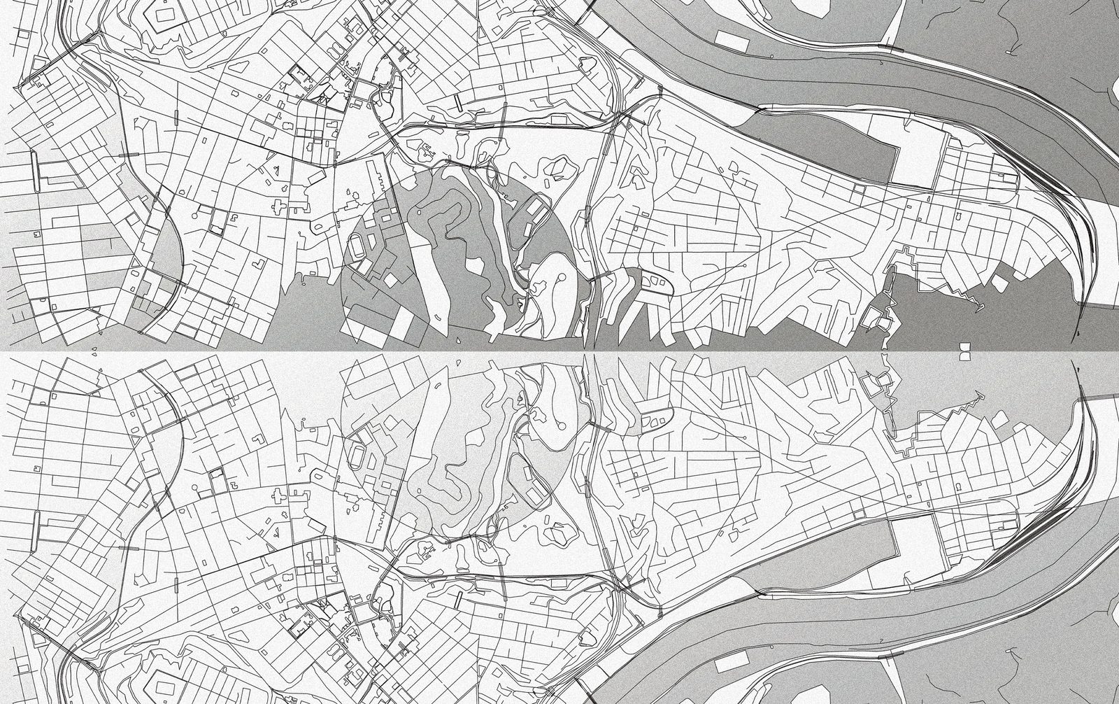
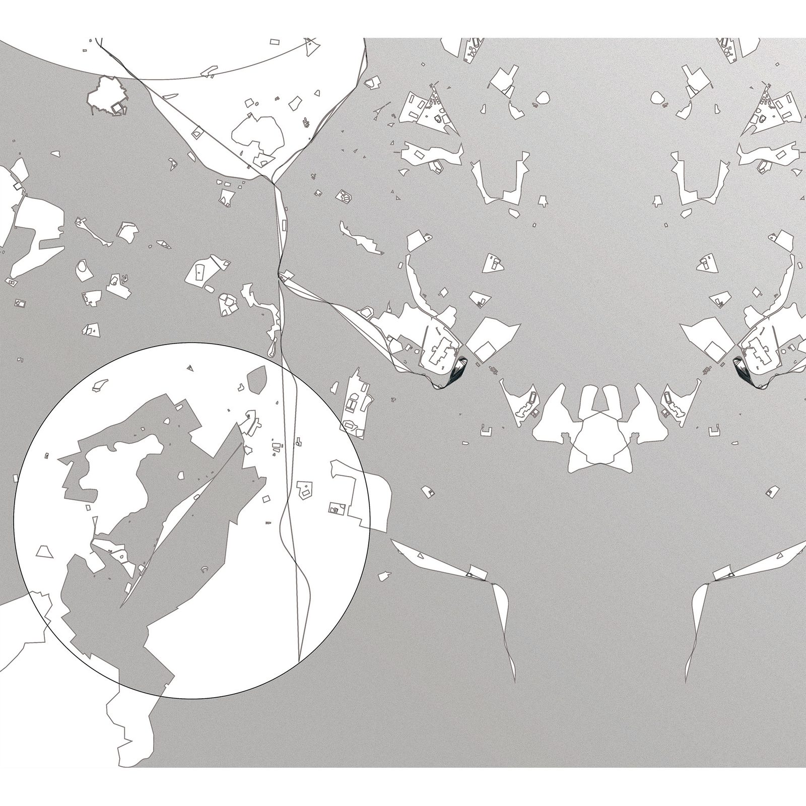
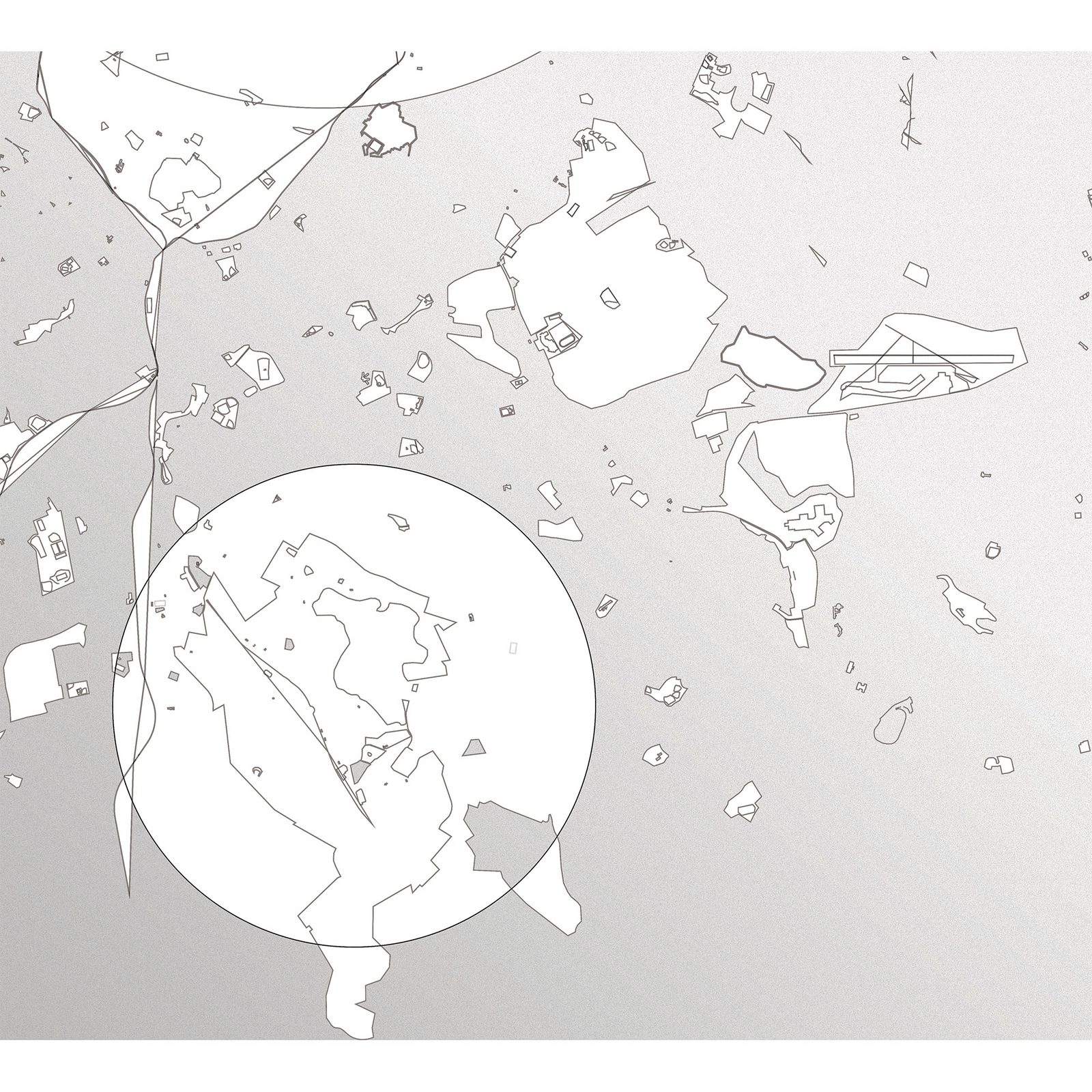
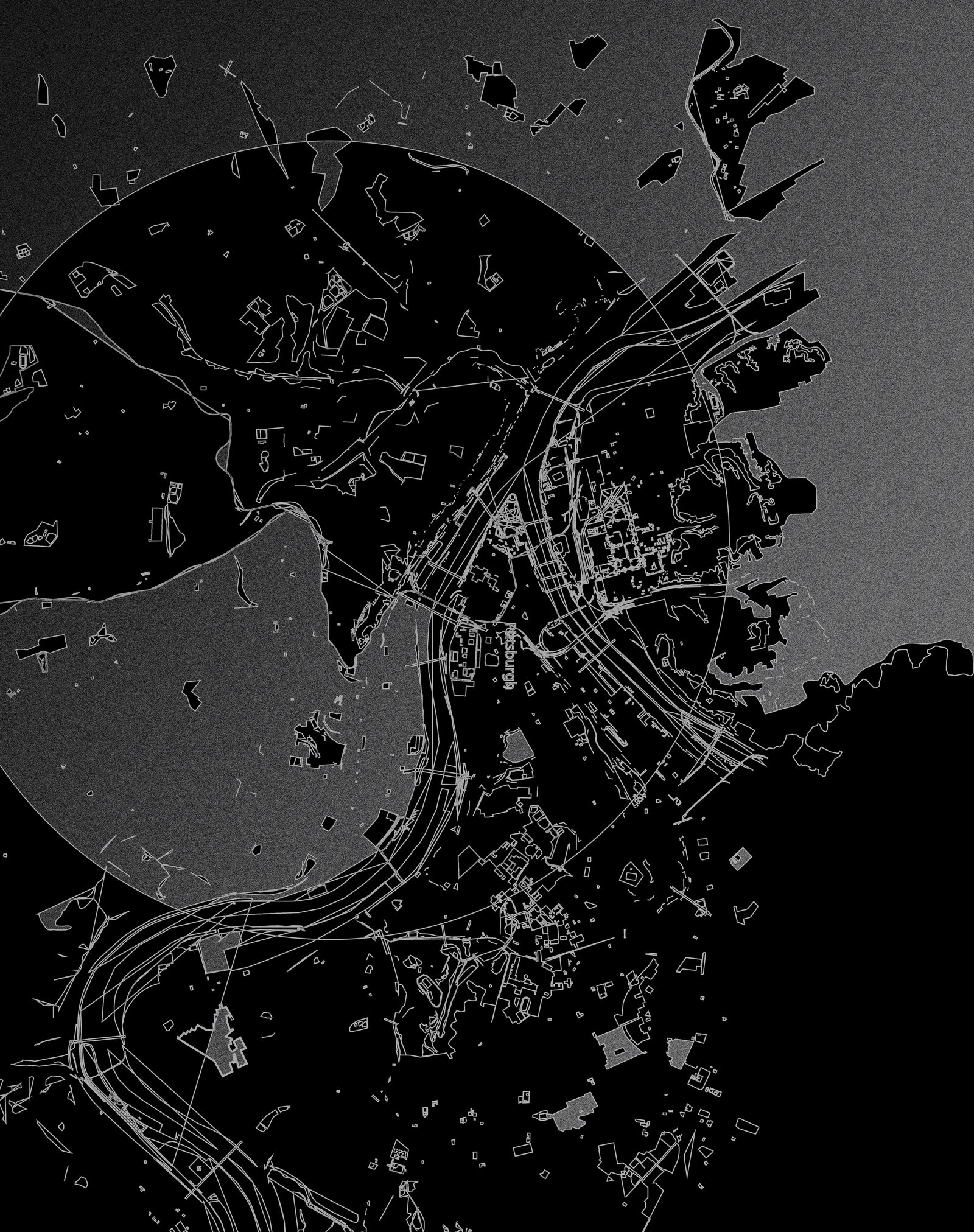
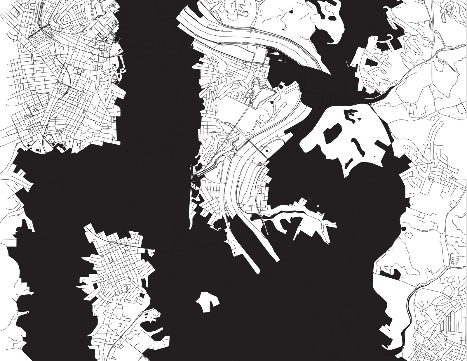
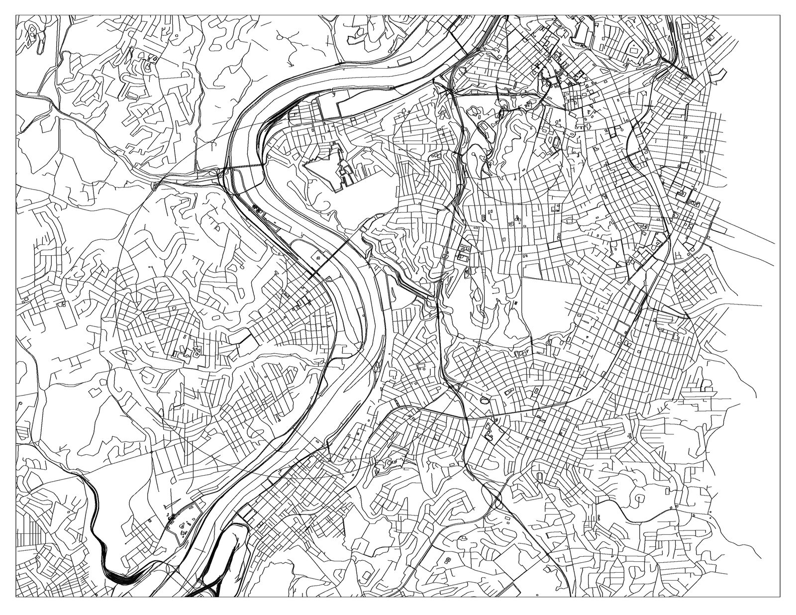
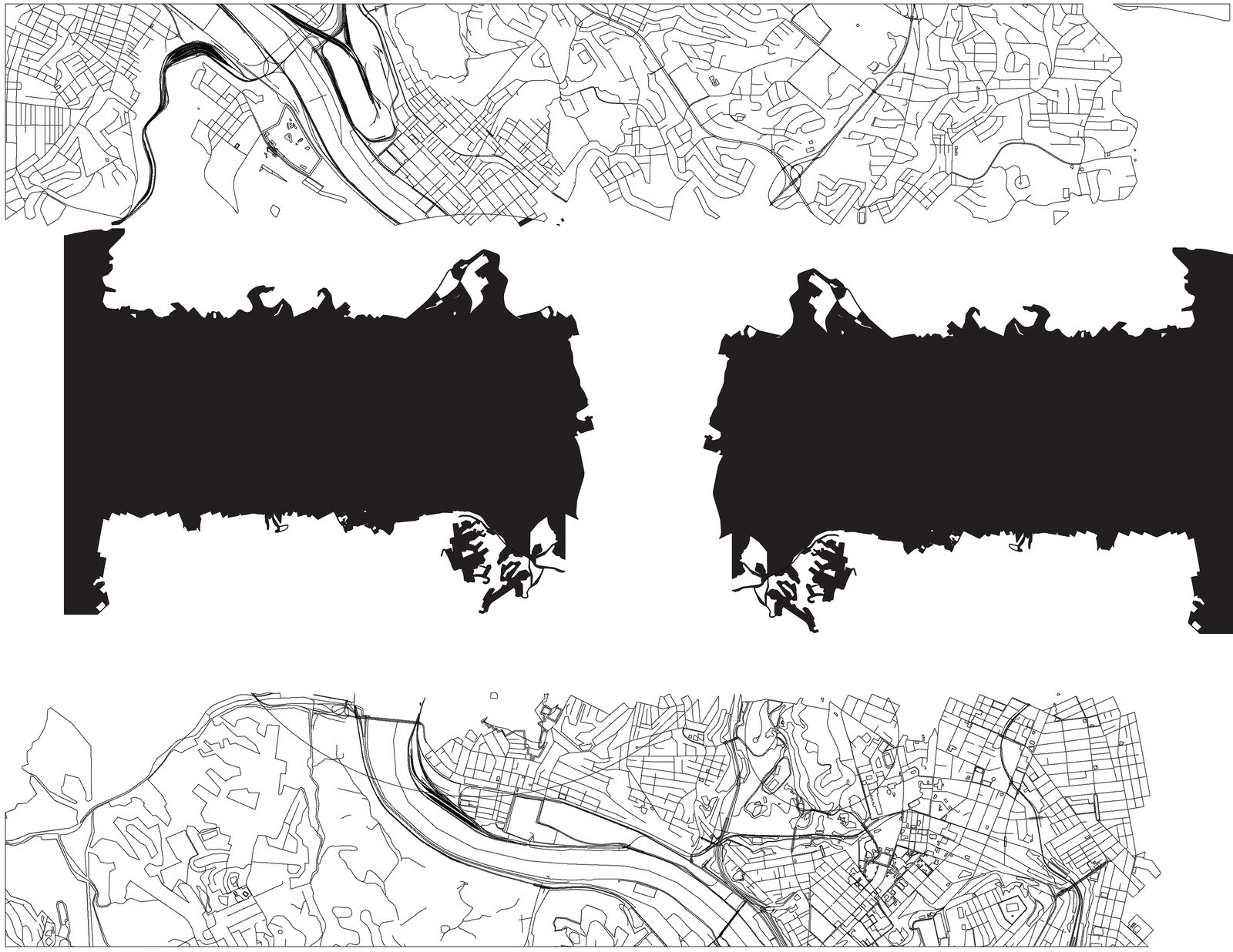
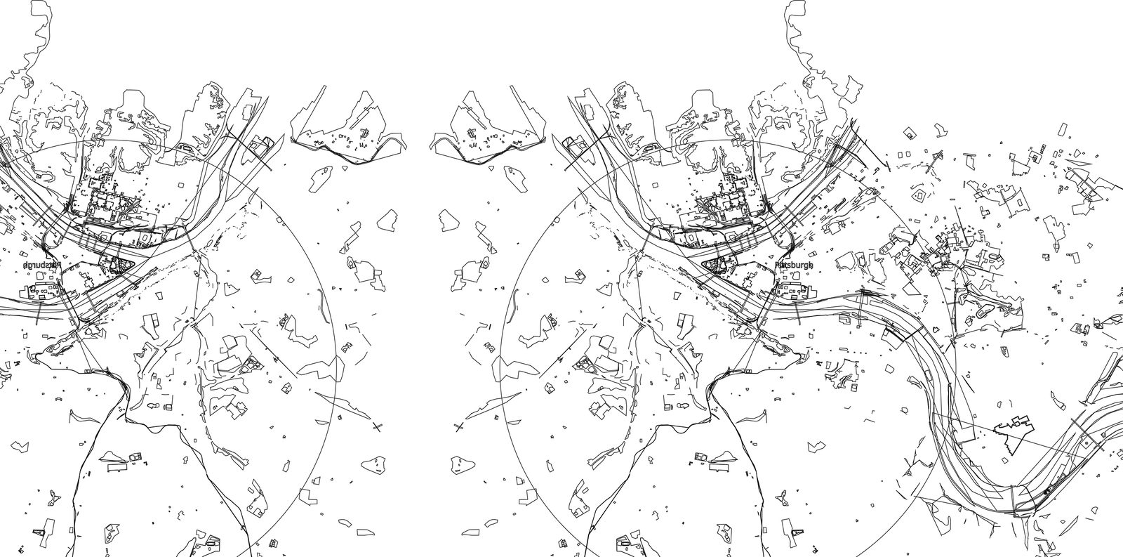
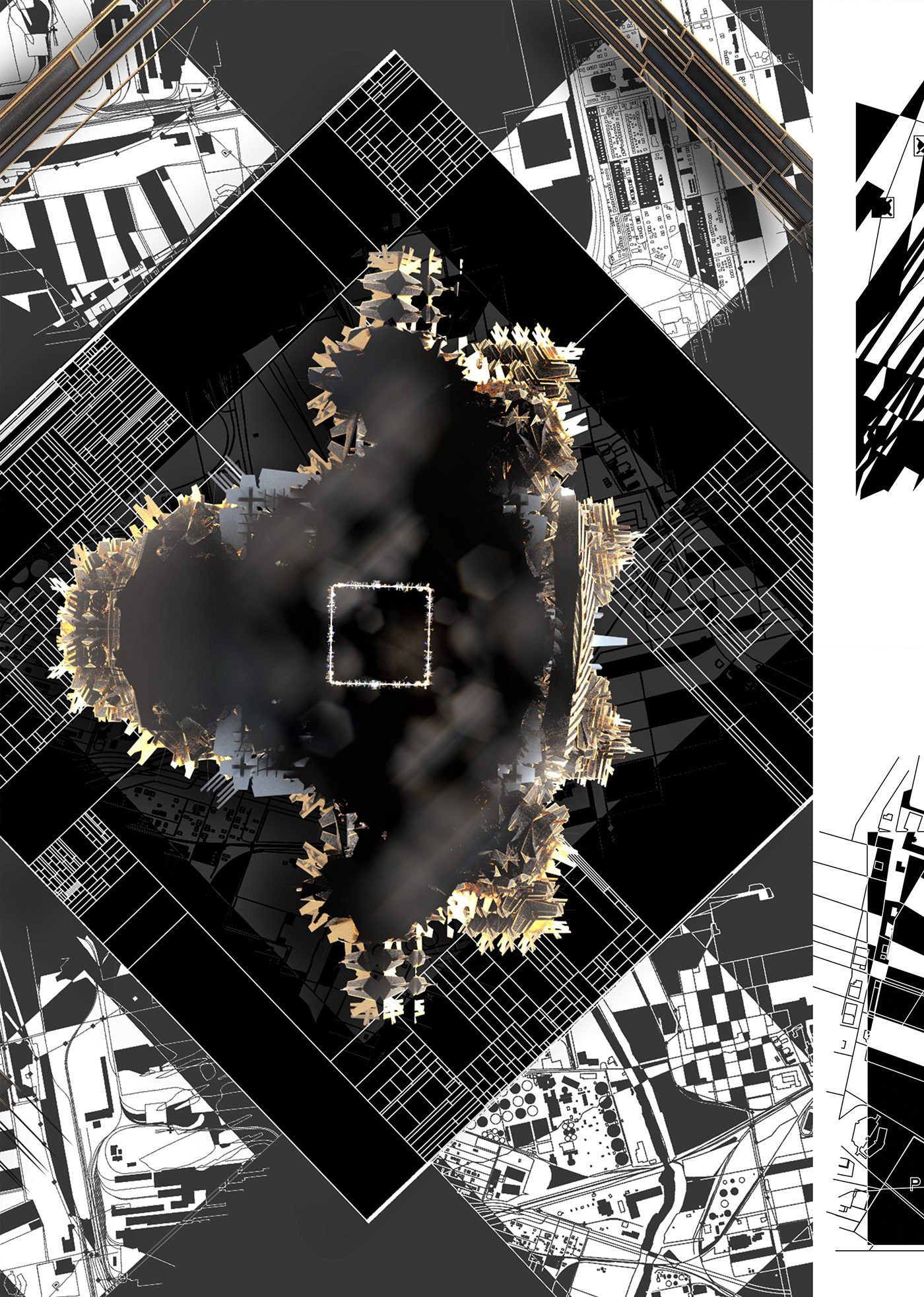
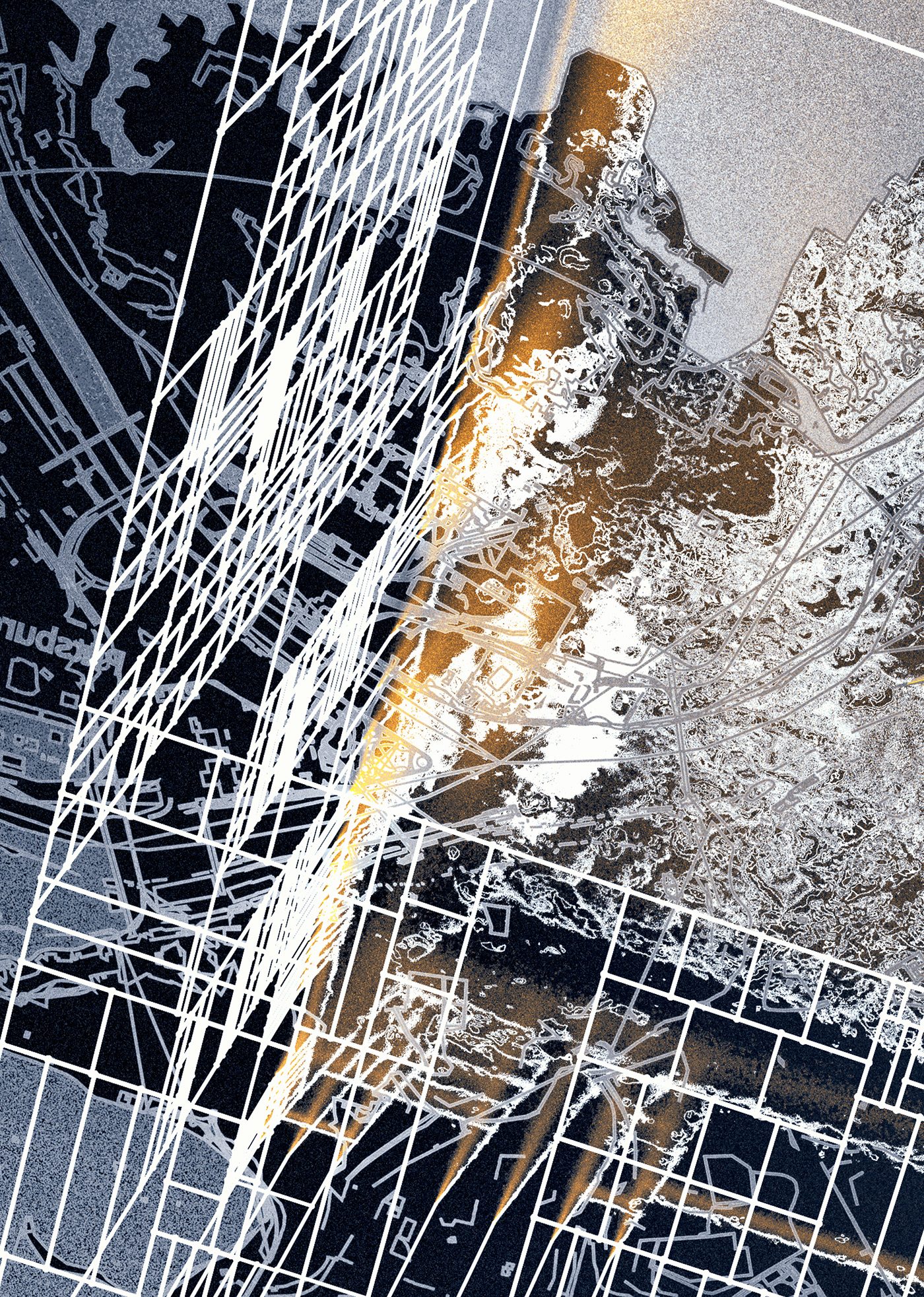
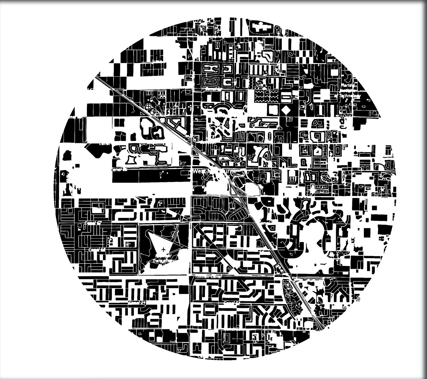
At the center of the map above is Braddock Pennsylvania, home to a sprawling steel complex that is both sustaining and eroding the surrounding population. The air pollution in and around braddock ranks 12th nationwide, this map traces the areas most affected by airborne pollutants.
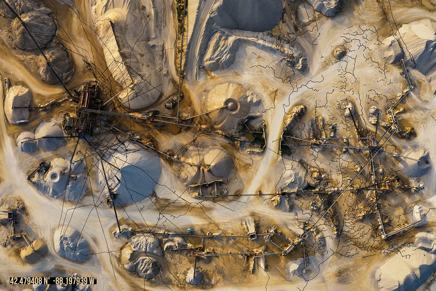
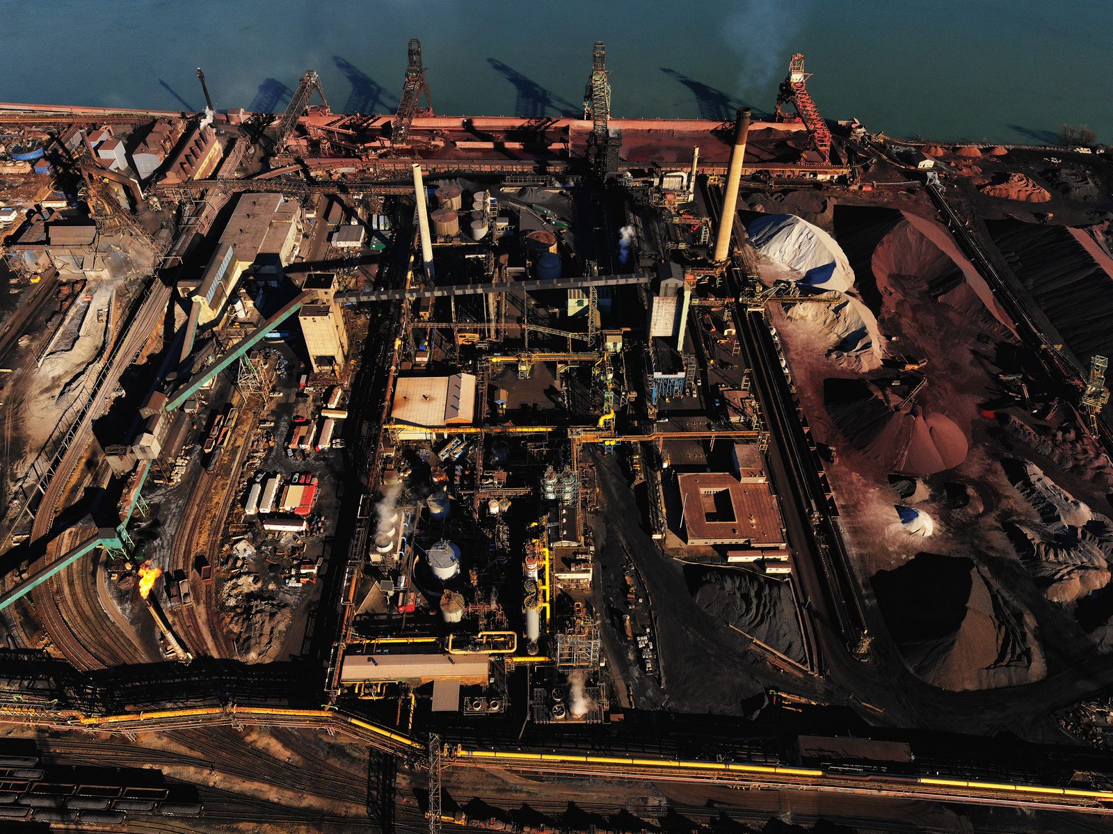
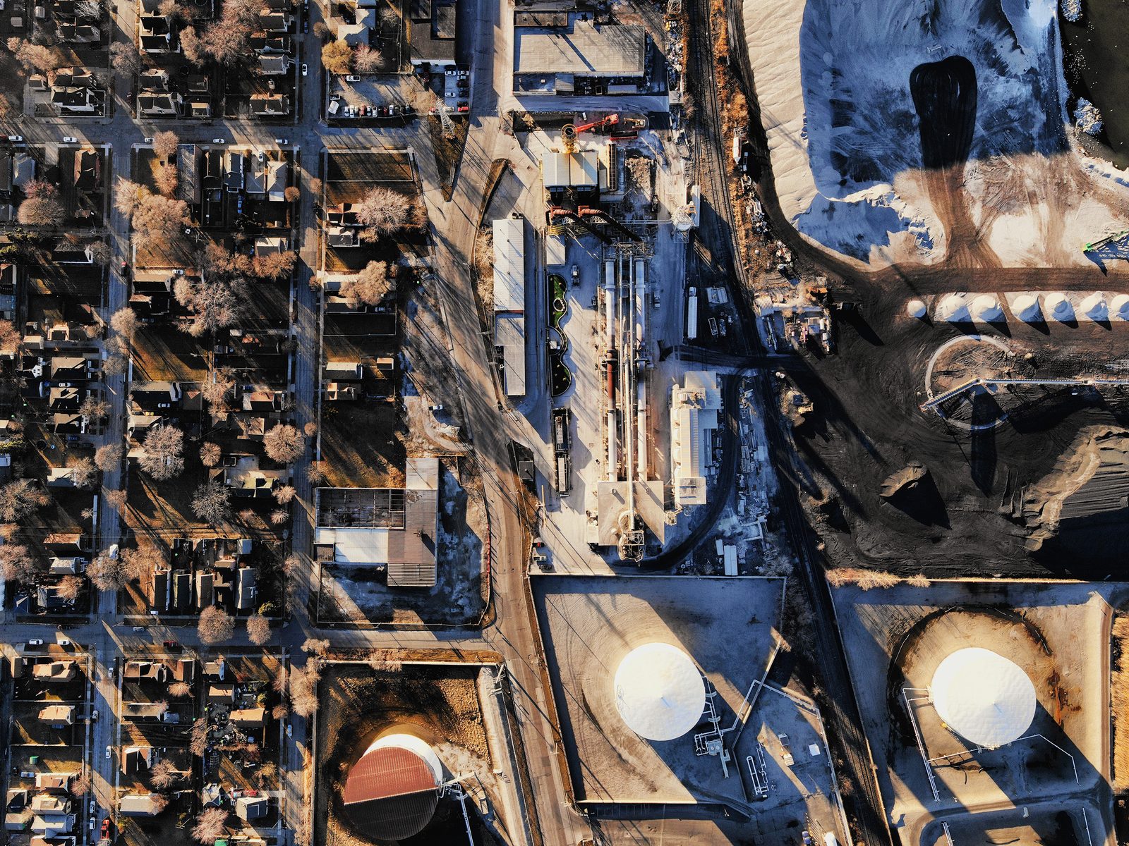
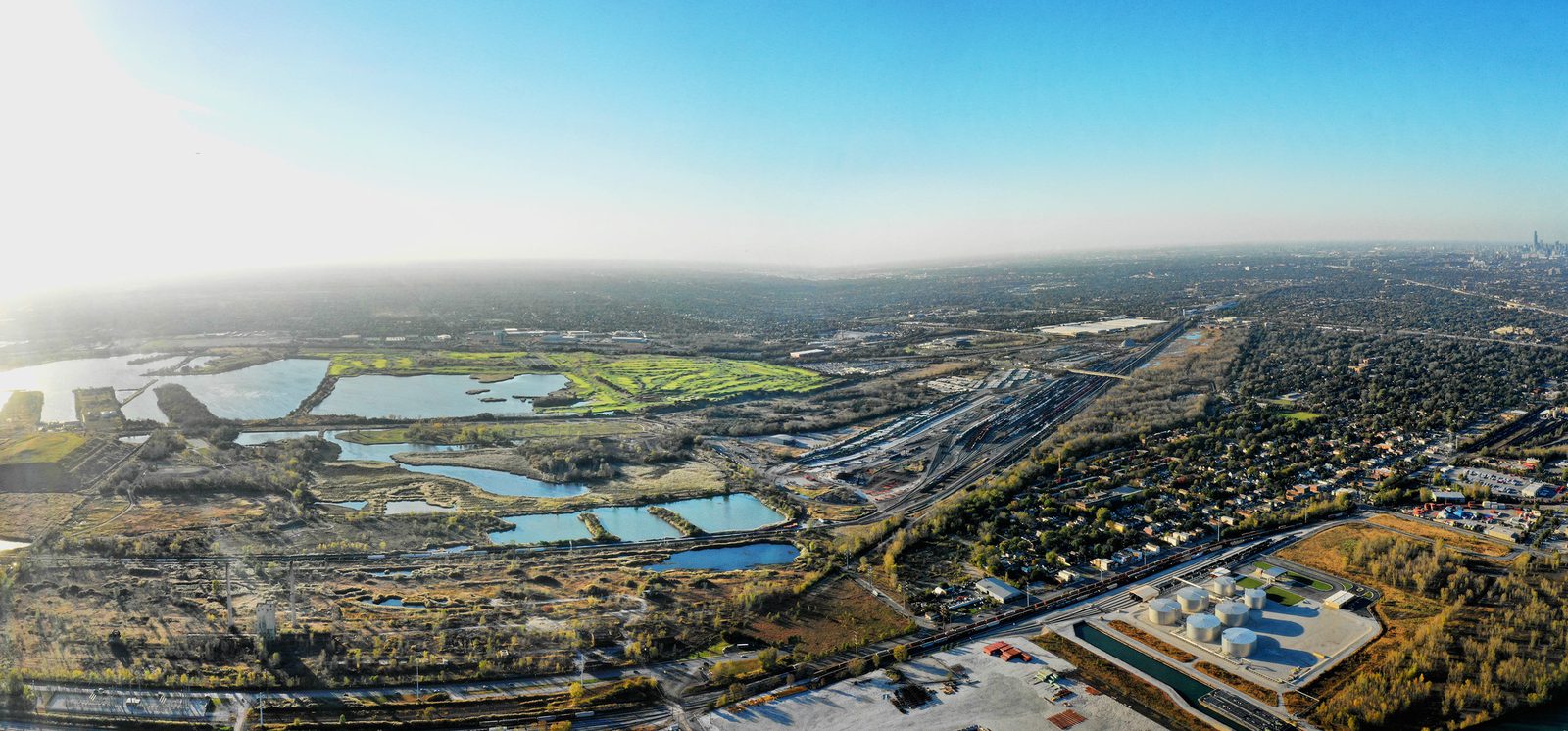
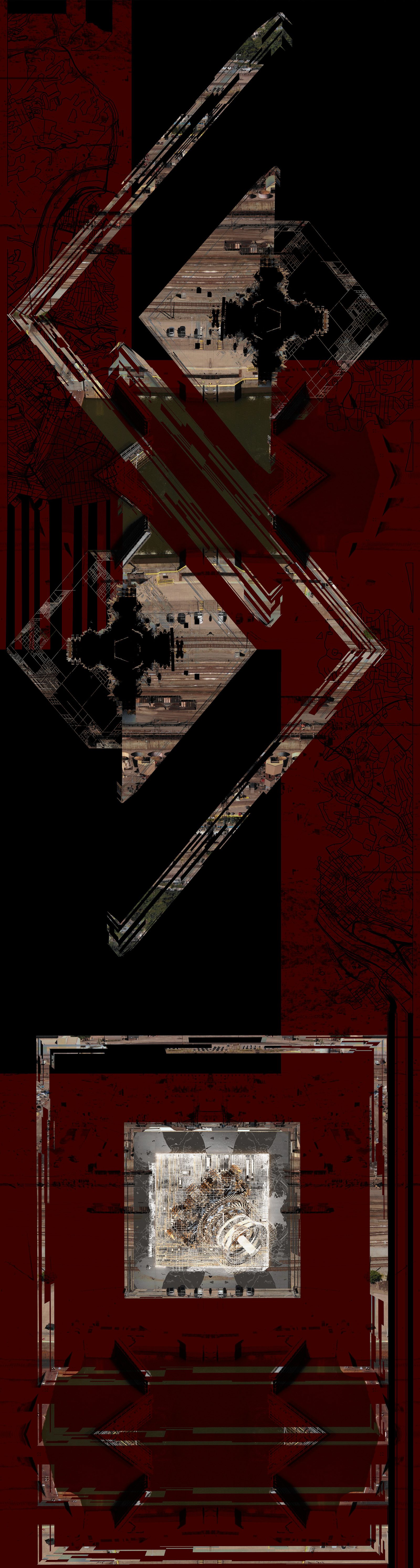
These areas closest to the factory are mostly low income communities of color. The mill is the primary source of both smog and income in these areas. I've taken drone photographs of the site and overlaid street maps of the affected neighborhoods.
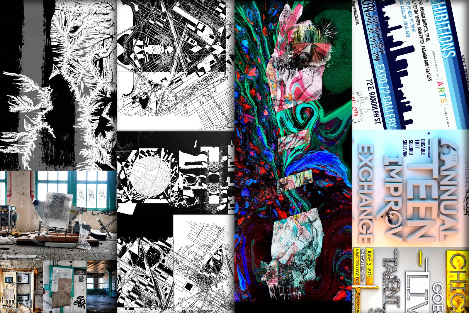
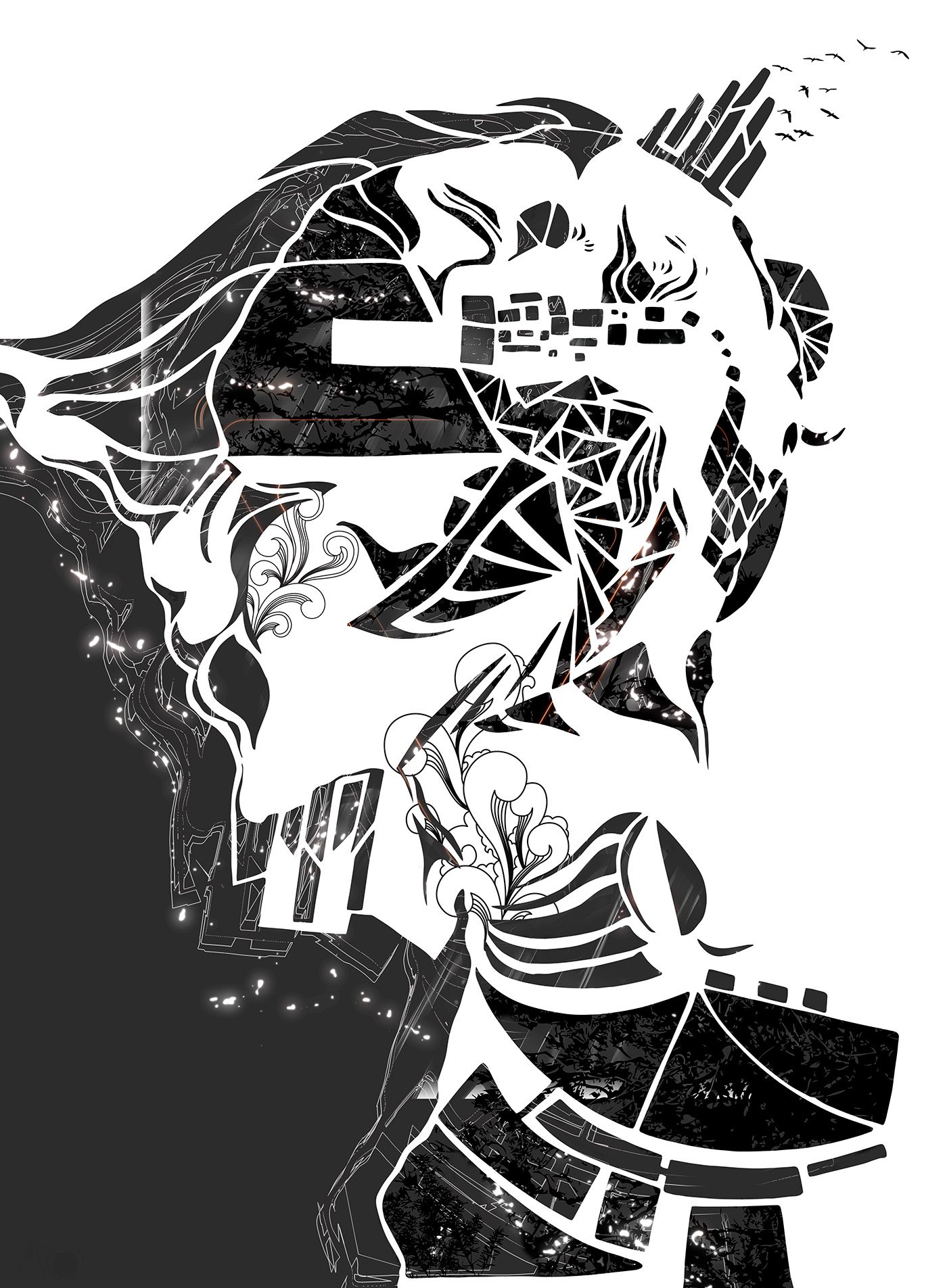
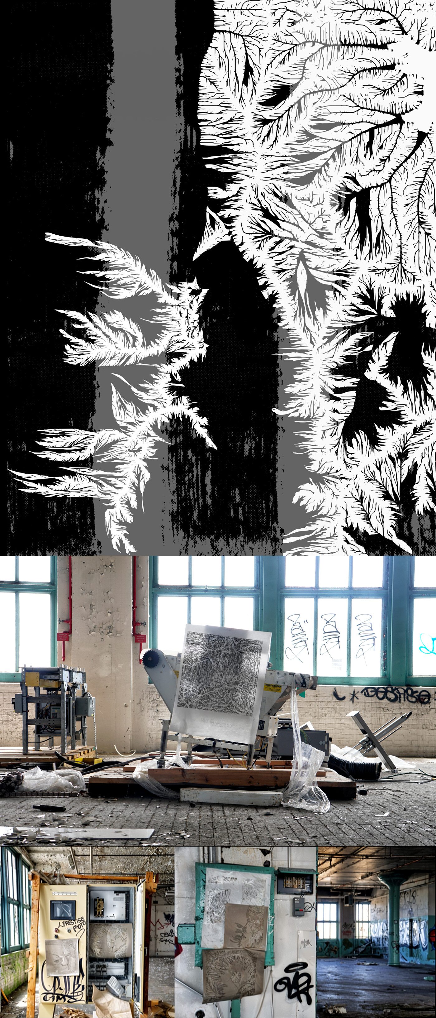
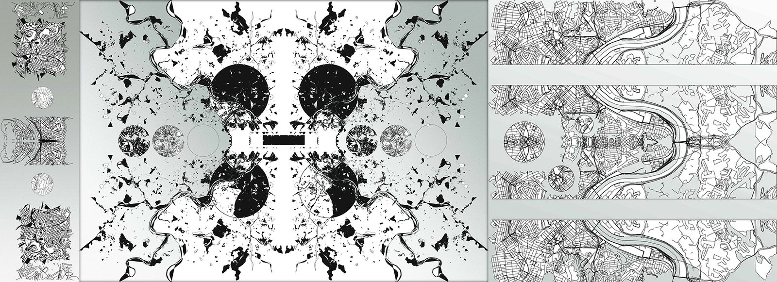
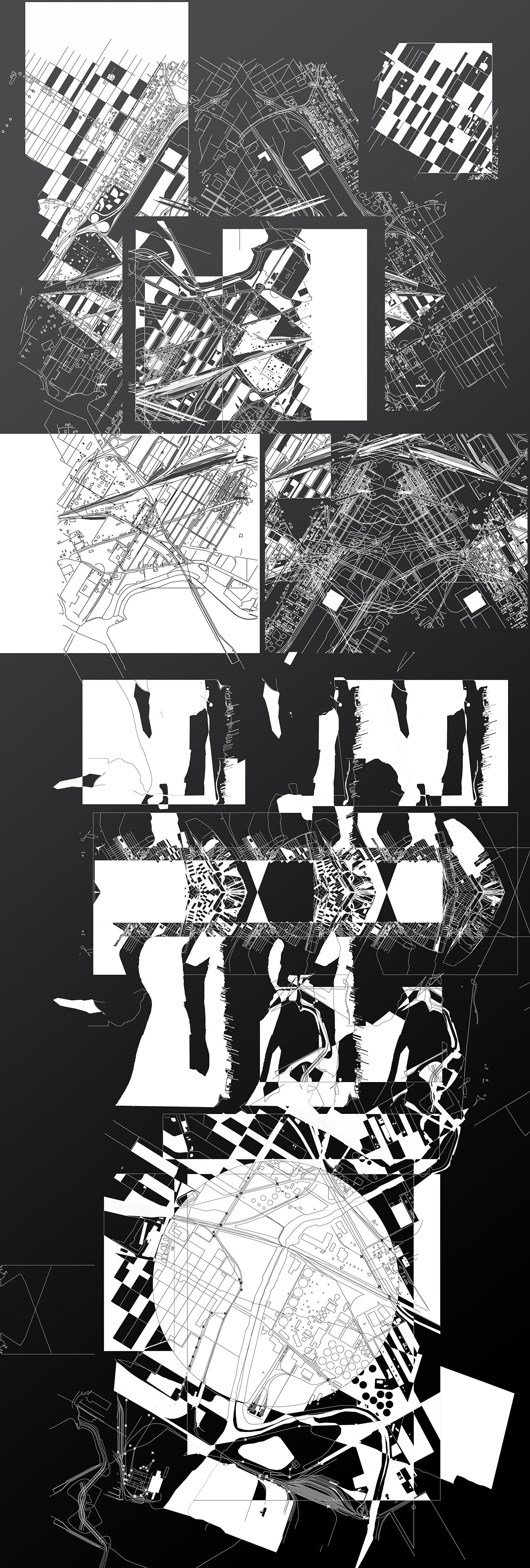
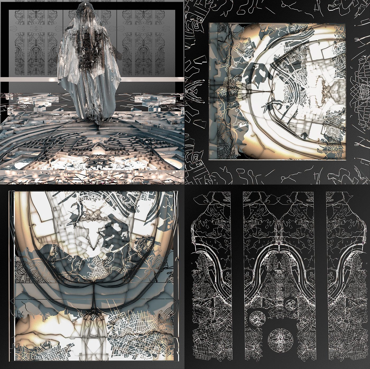
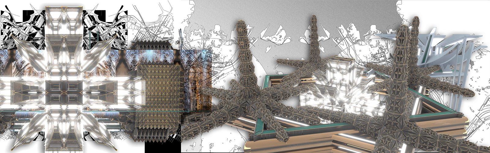
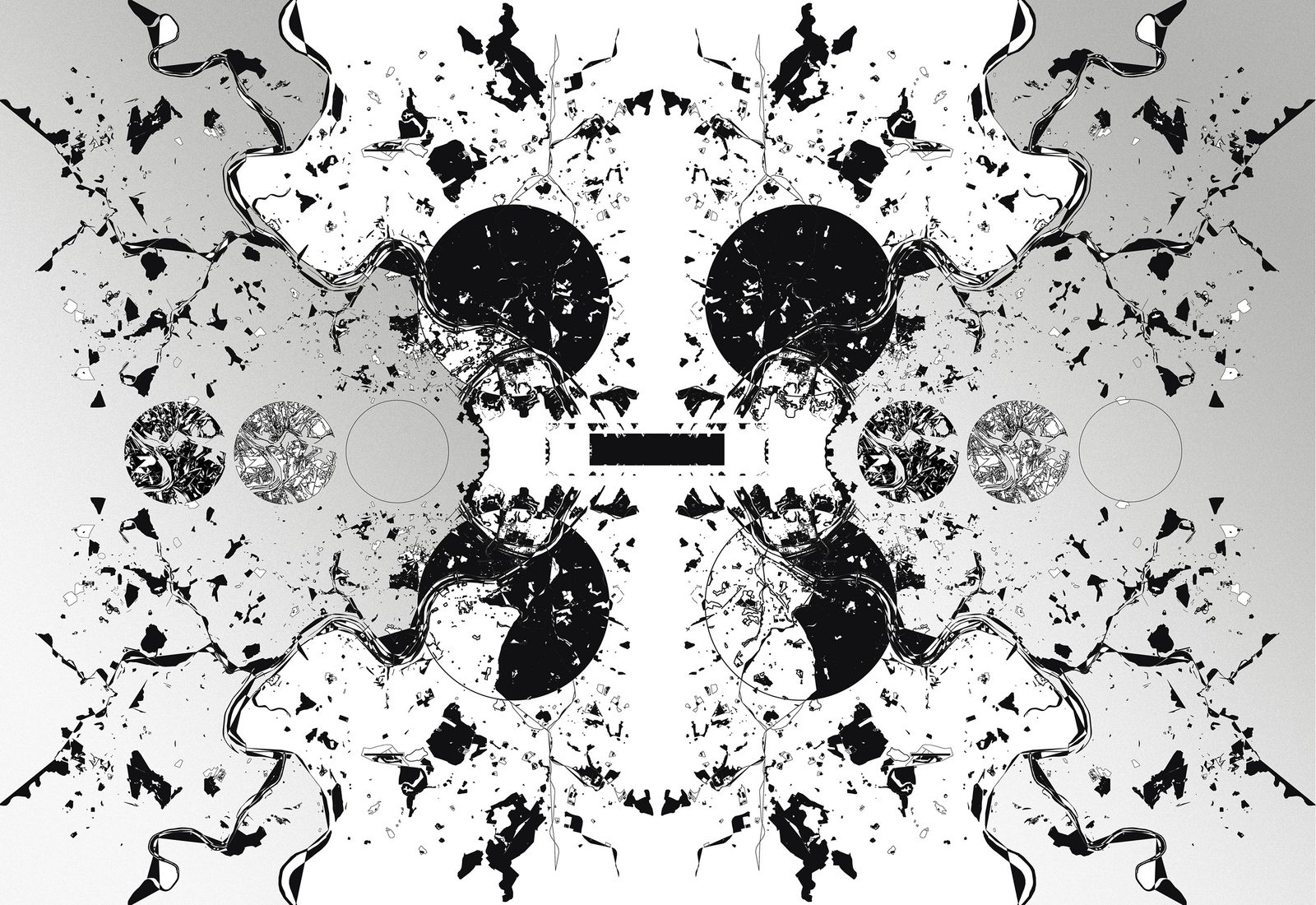
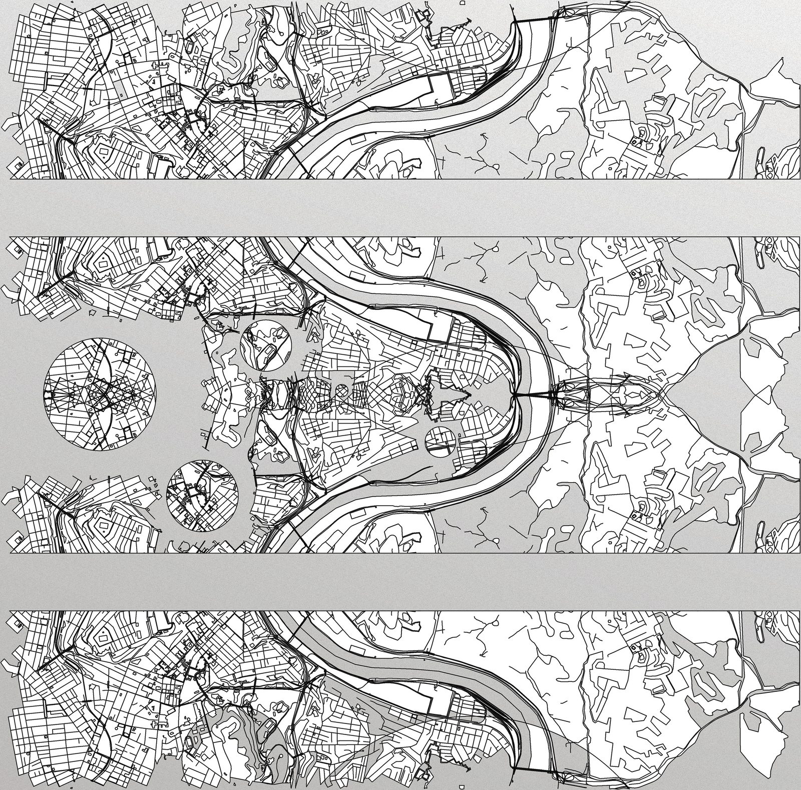
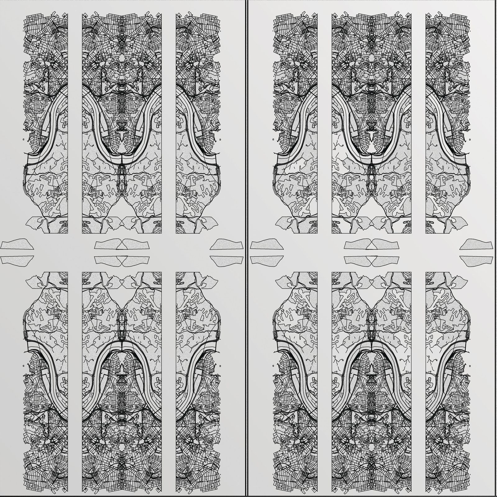
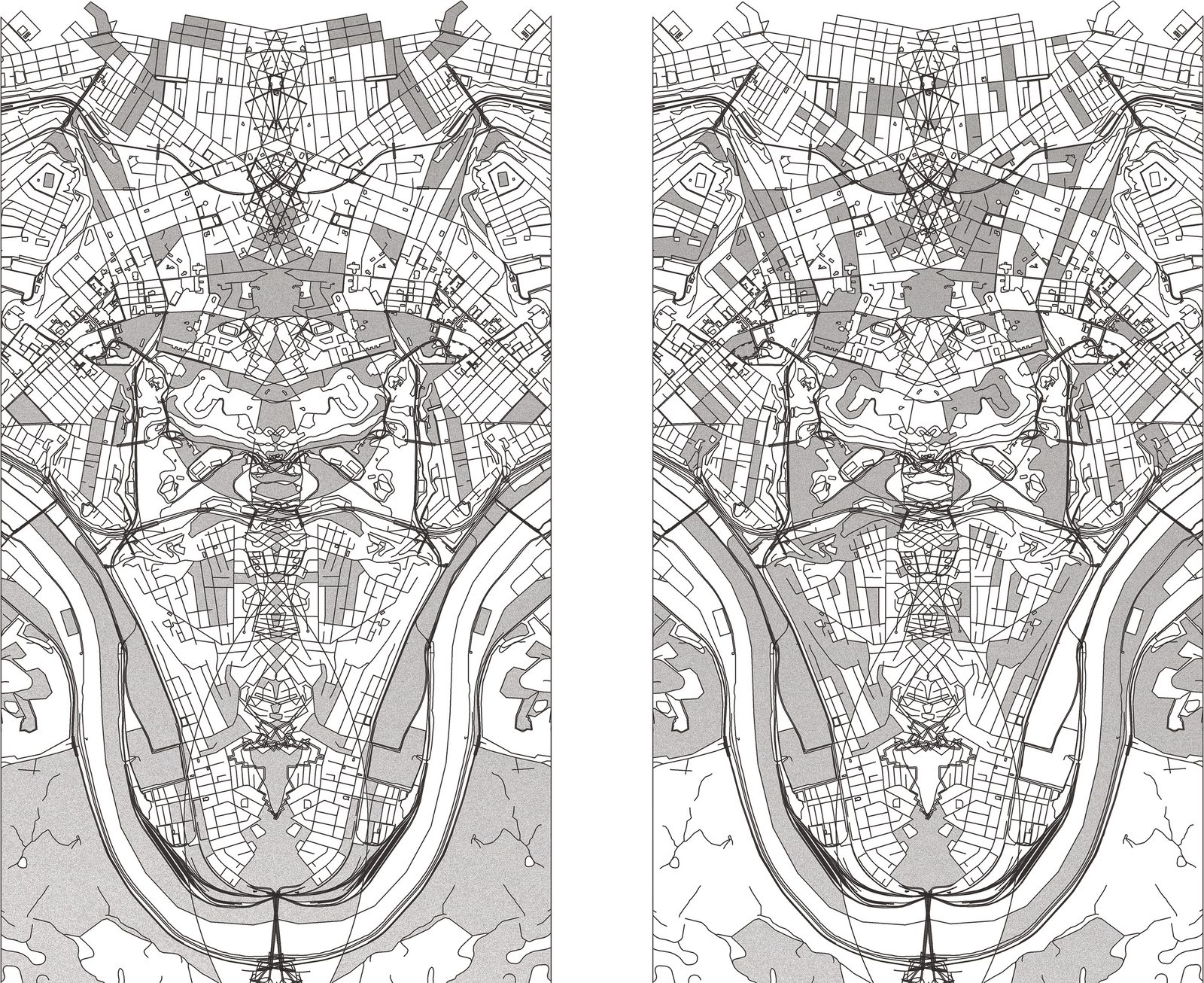
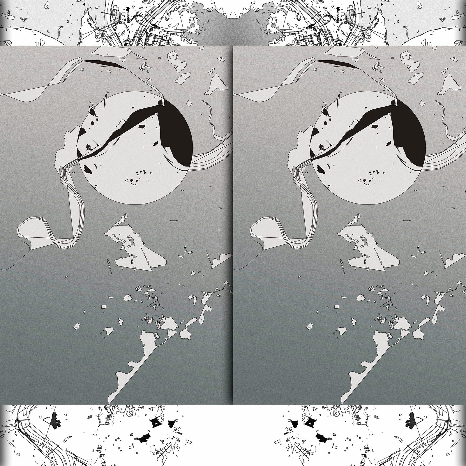
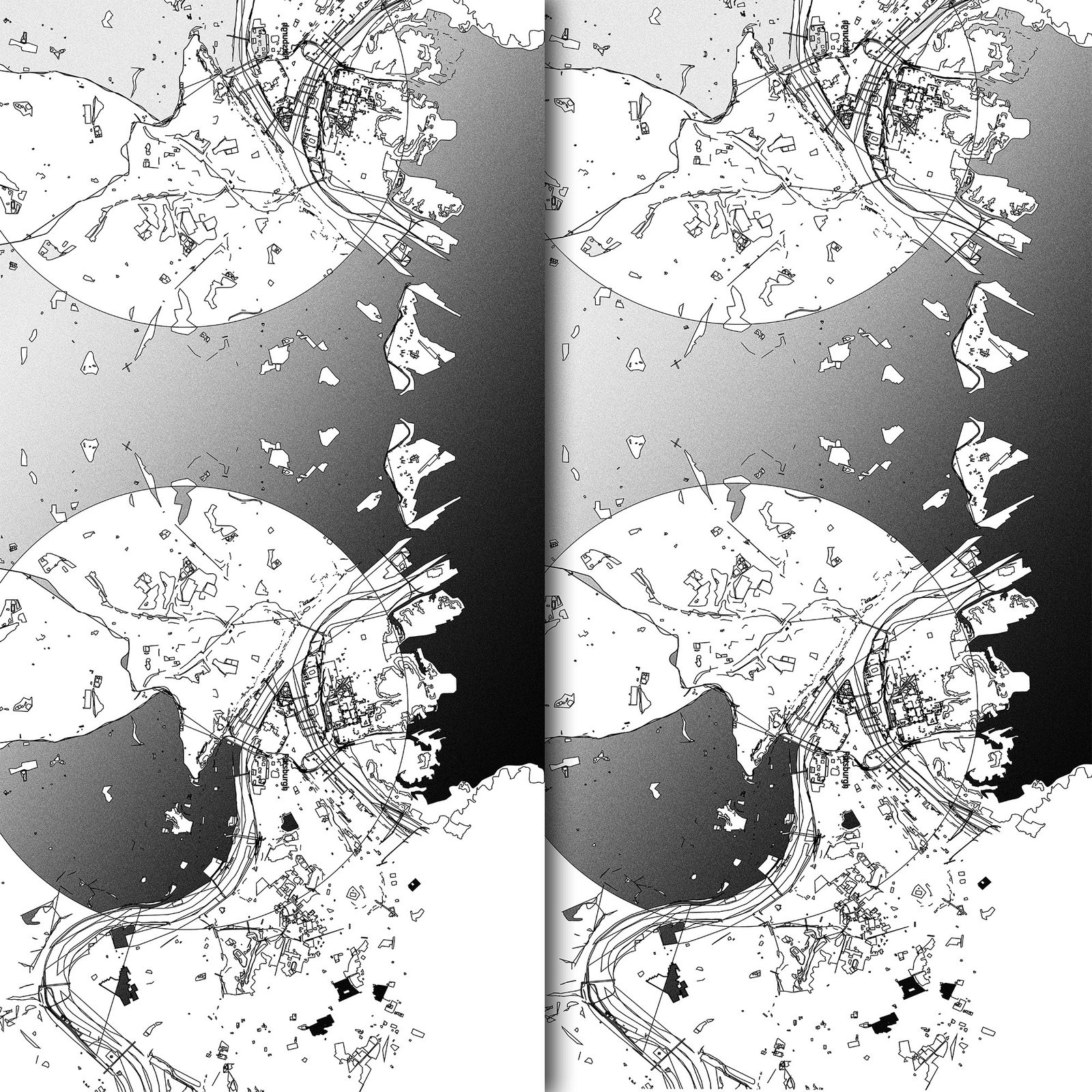
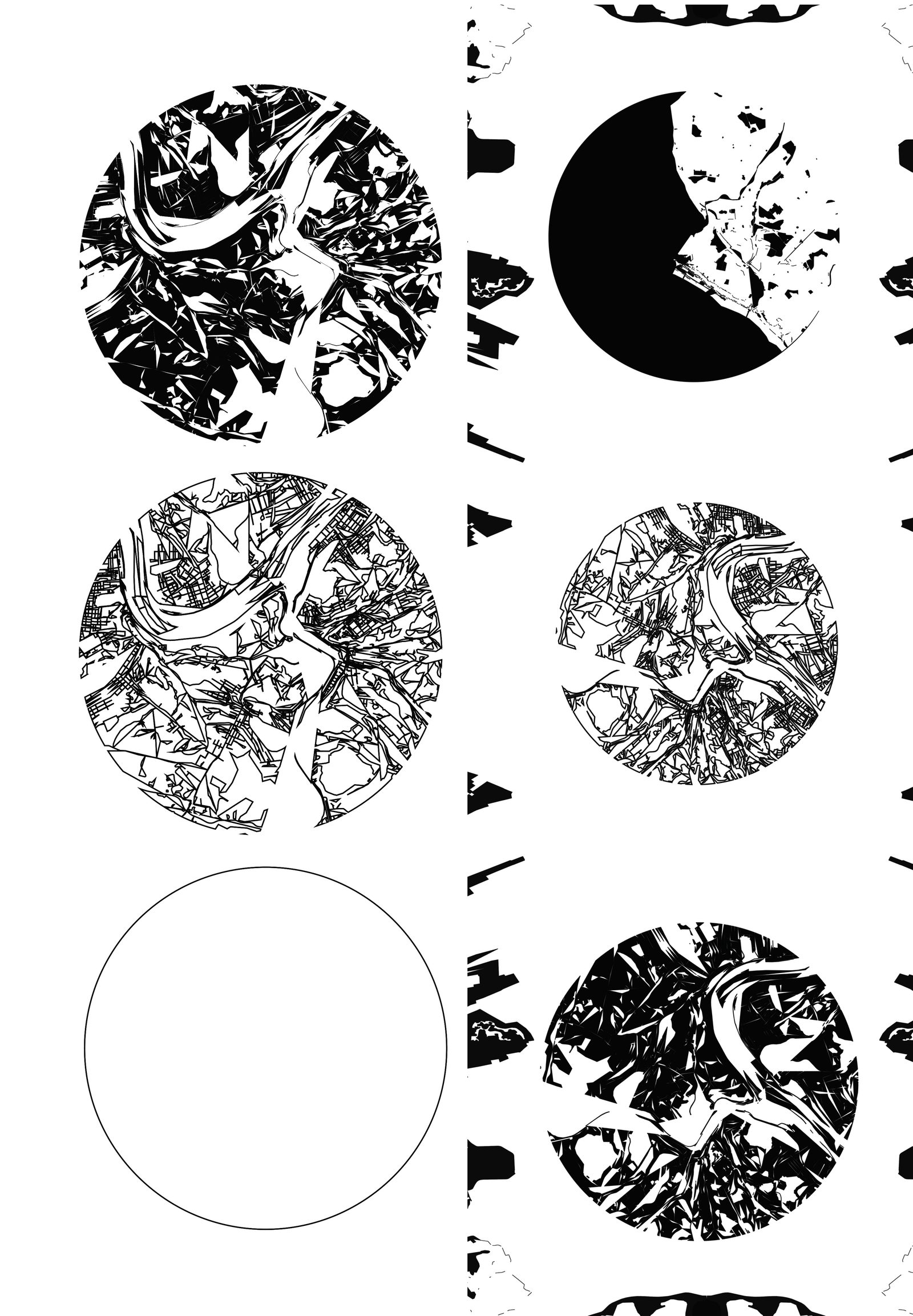
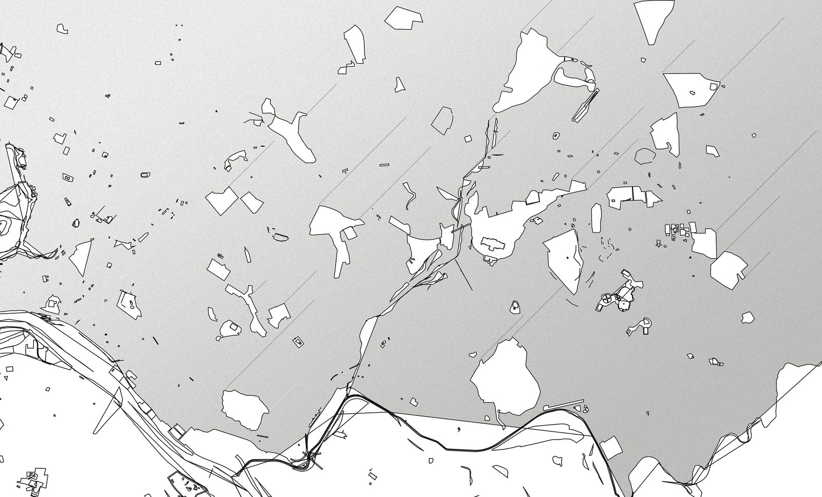
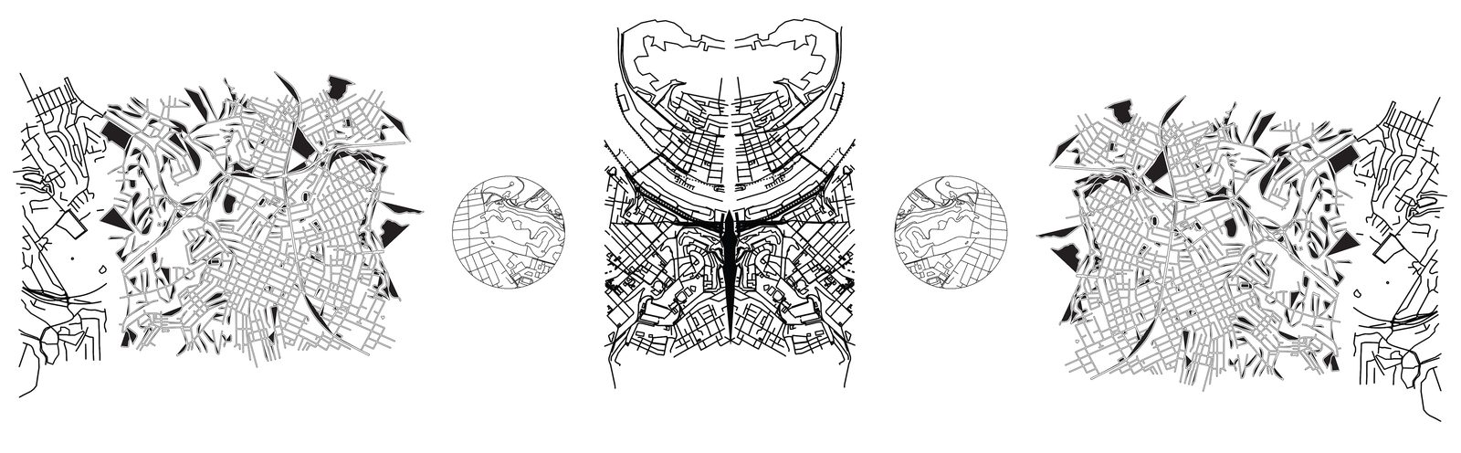
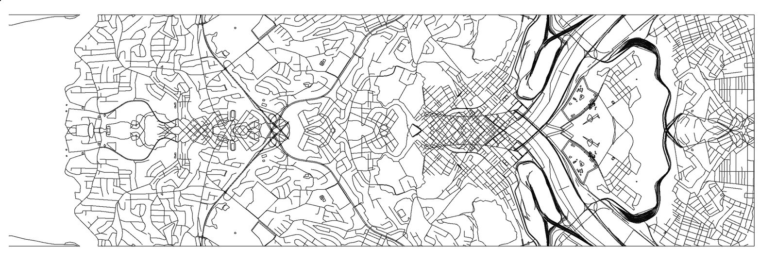
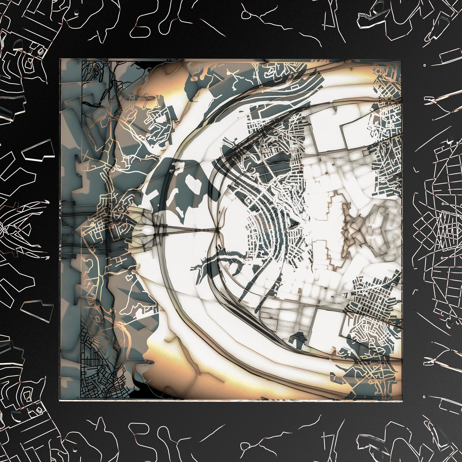
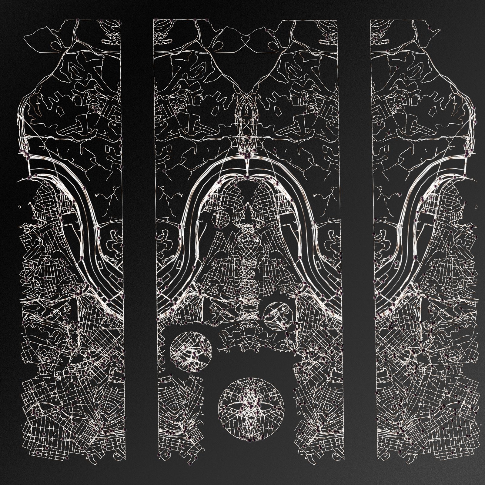
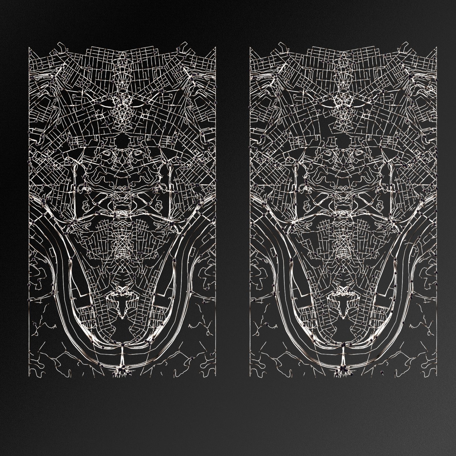
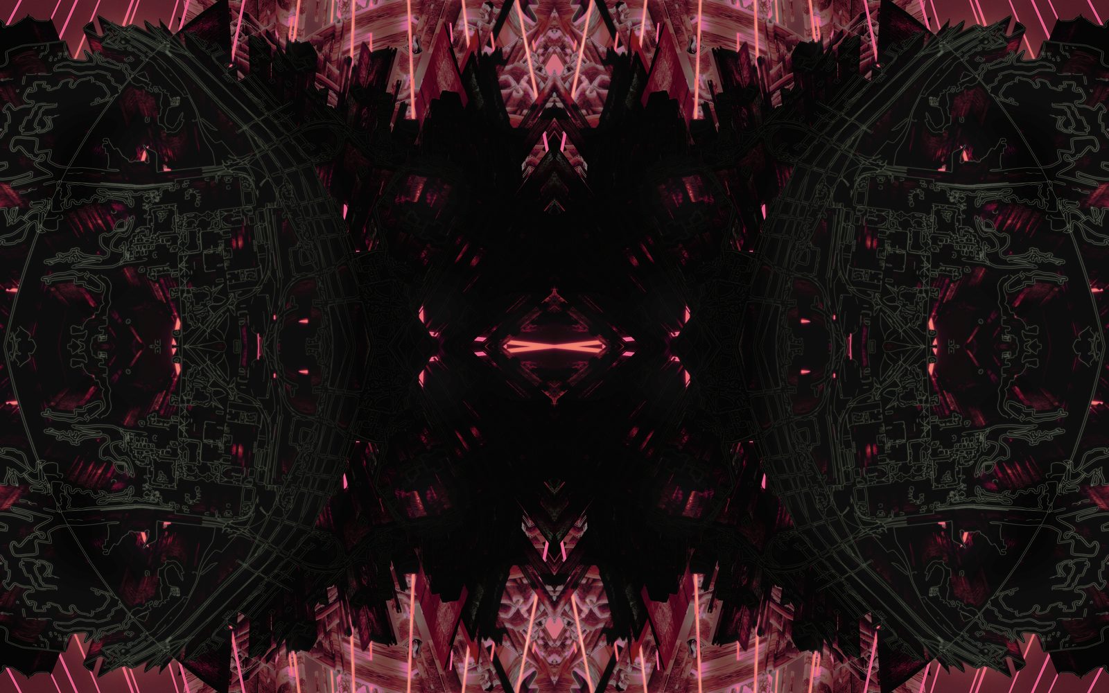
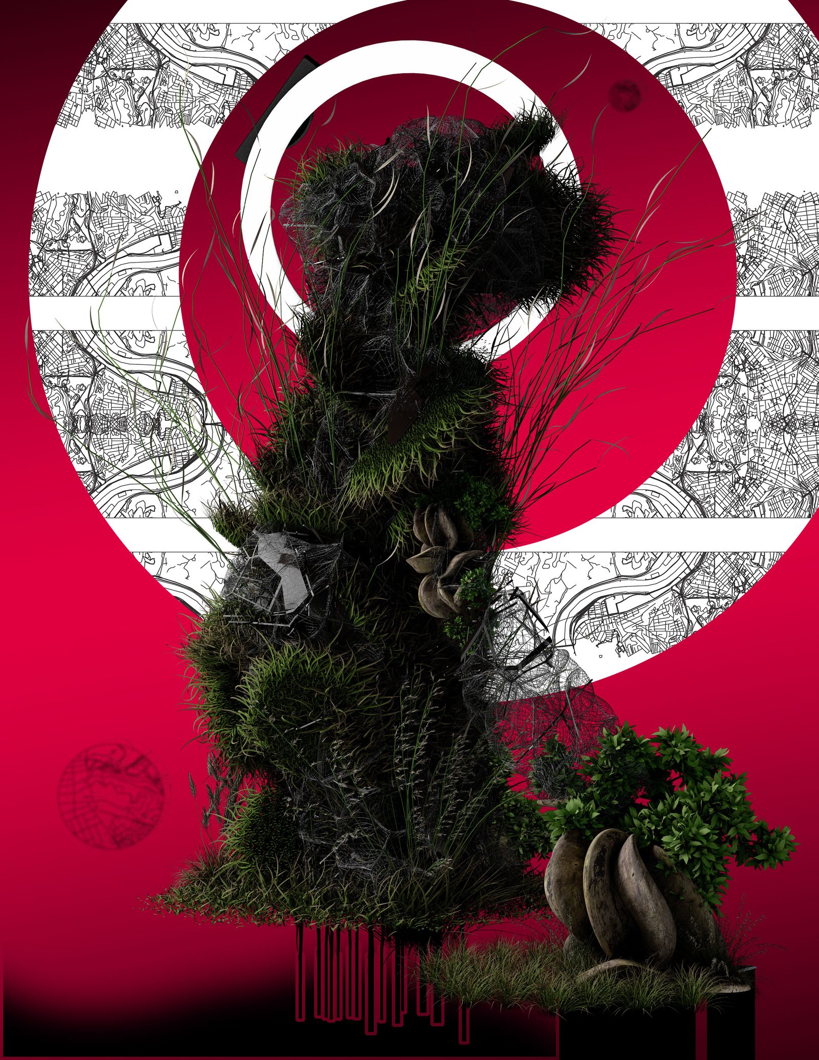
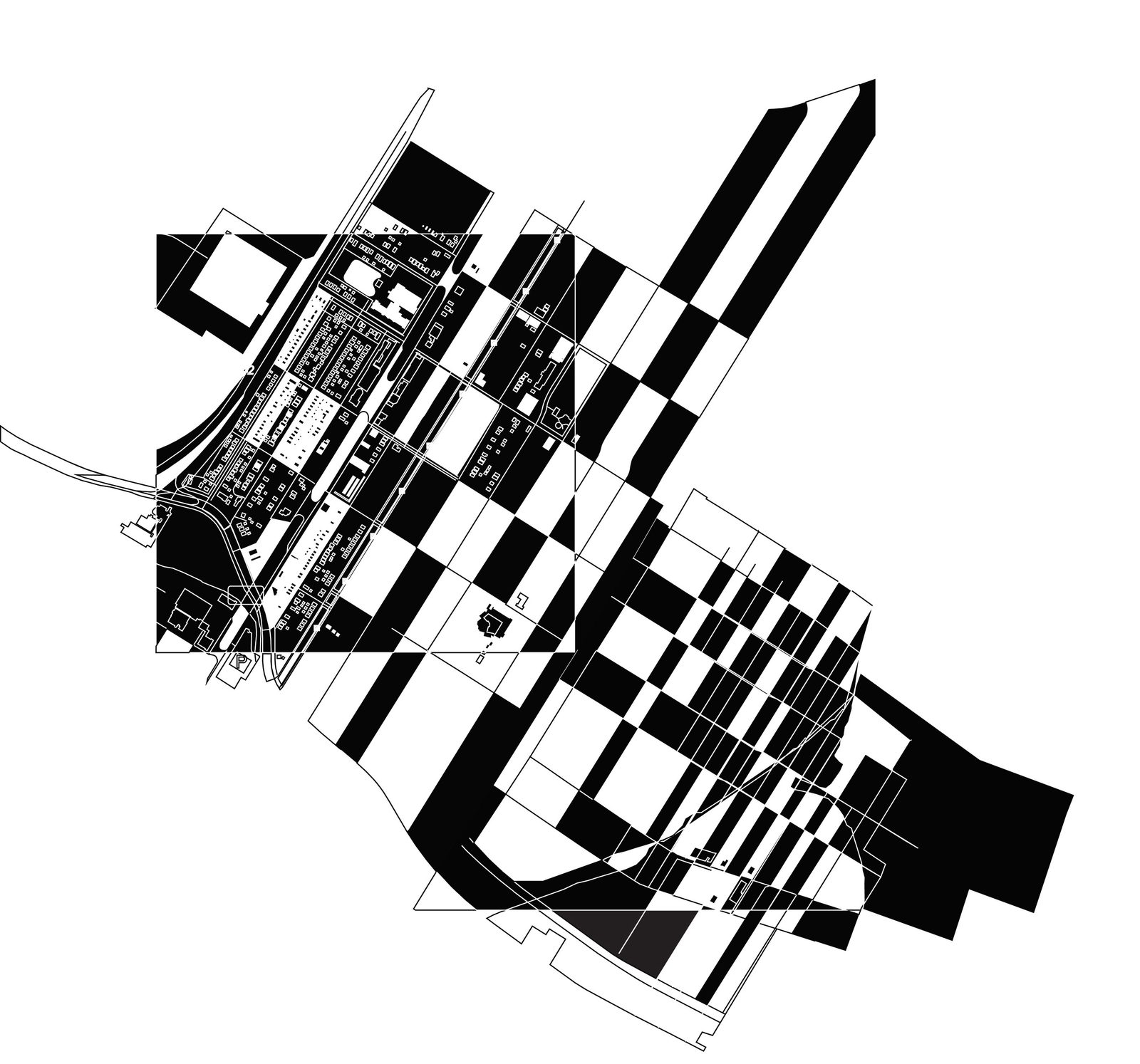
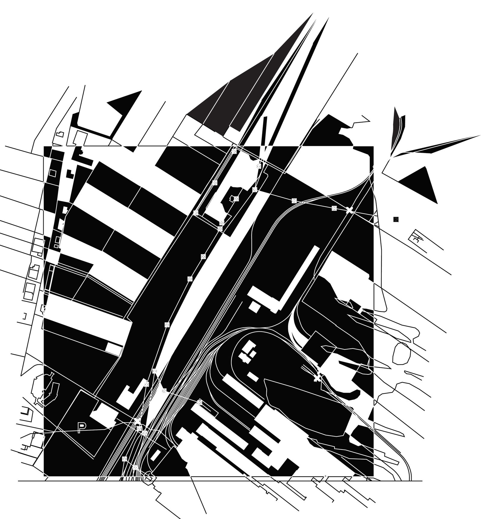
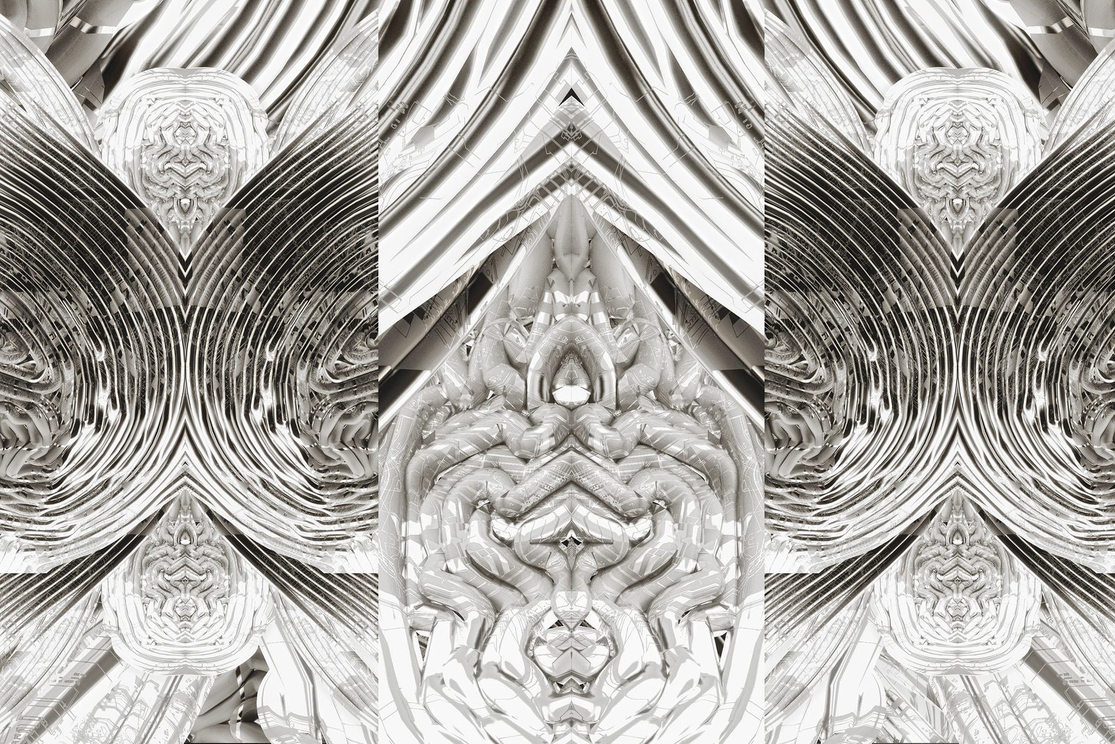
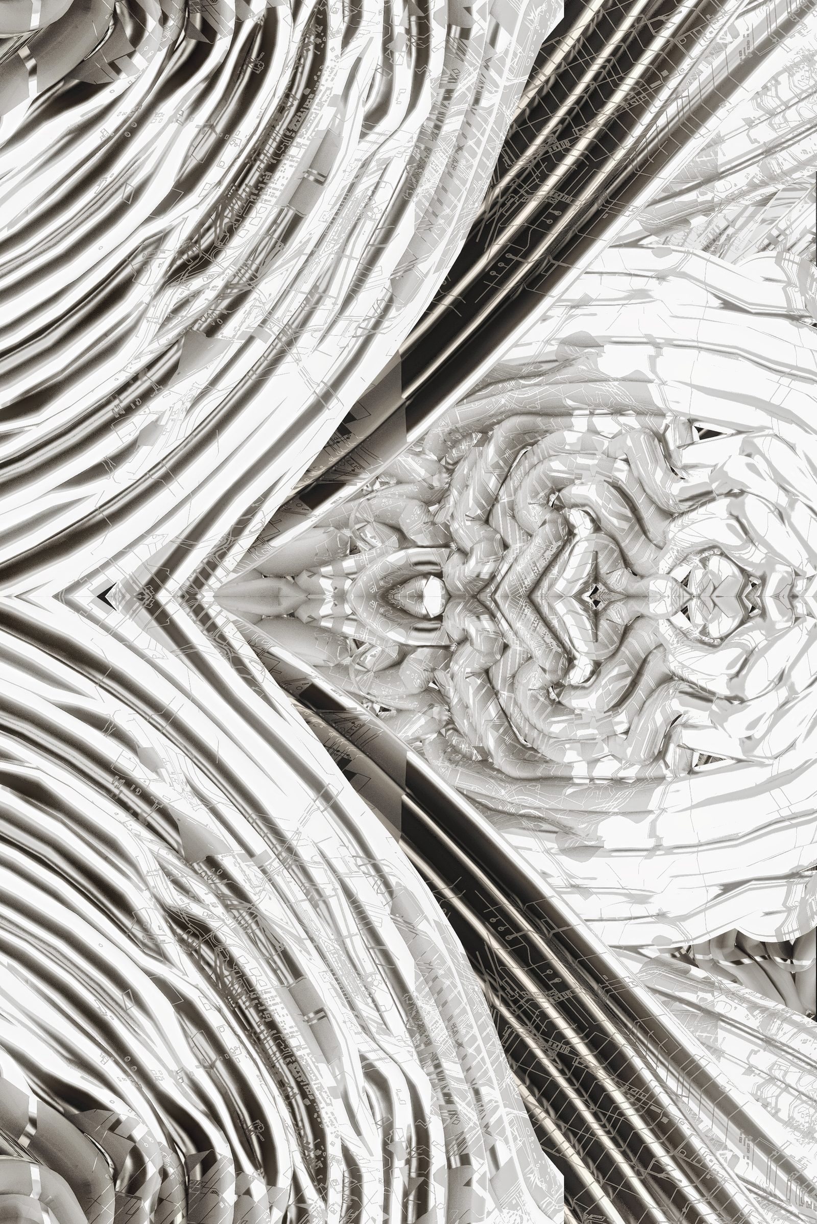
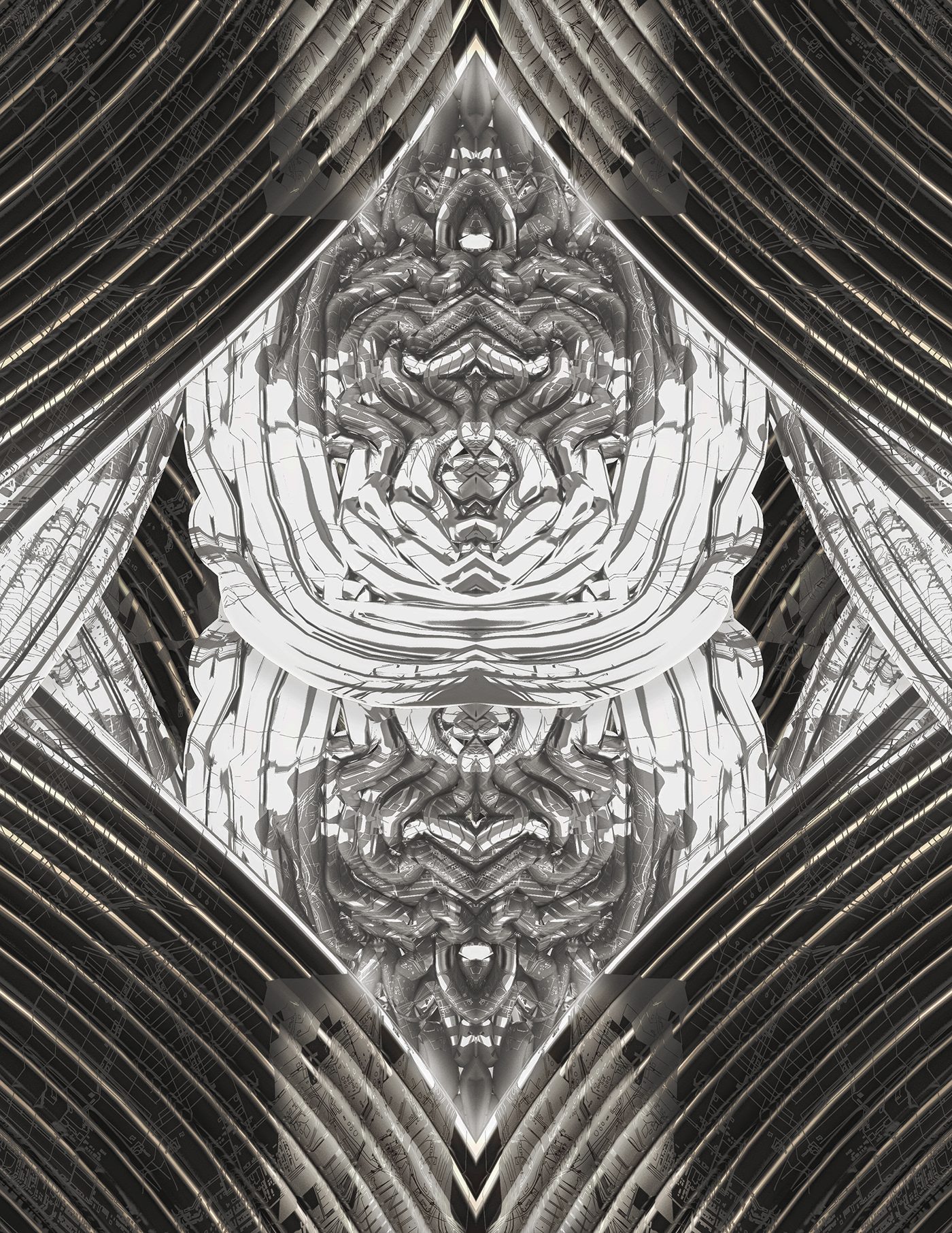
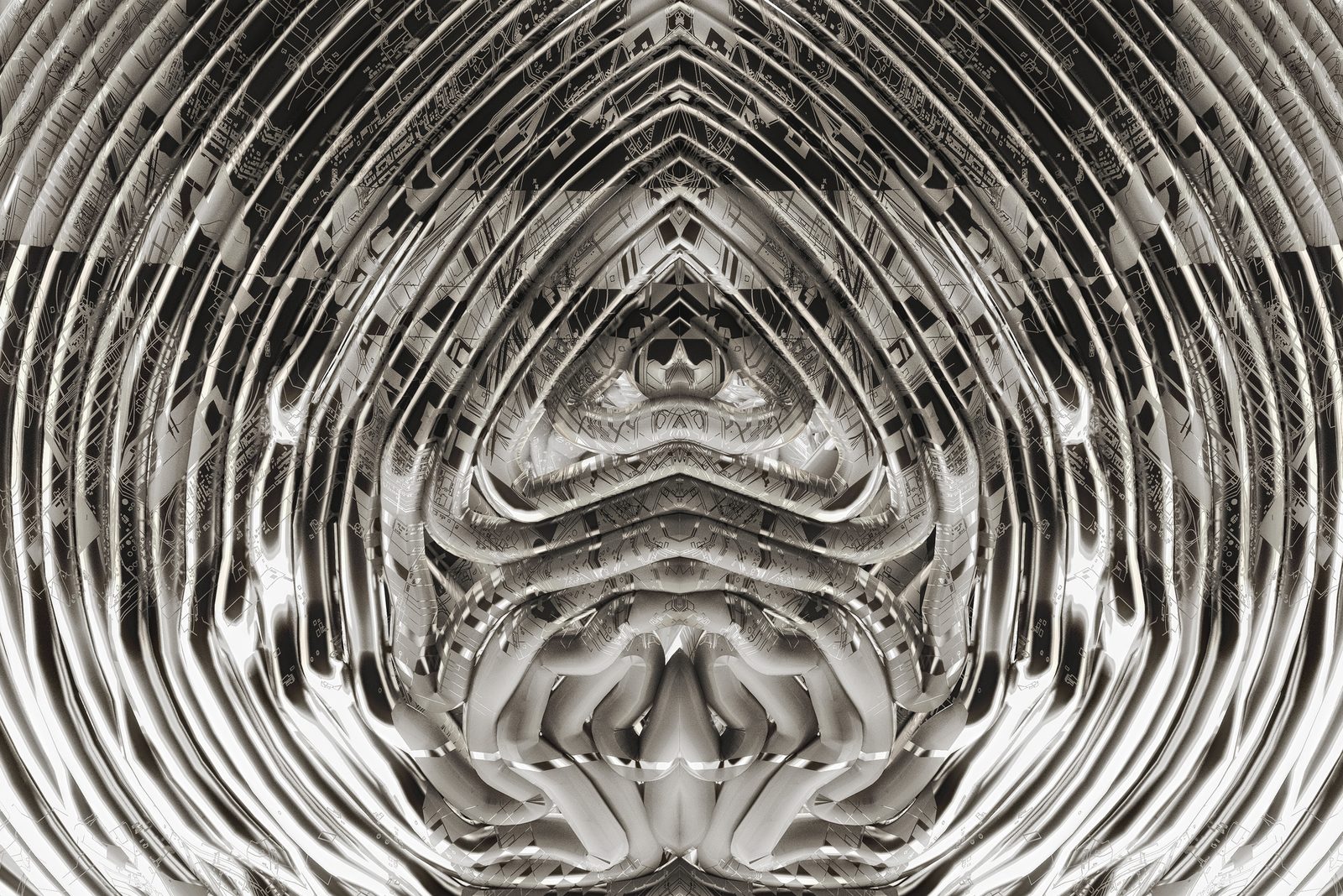
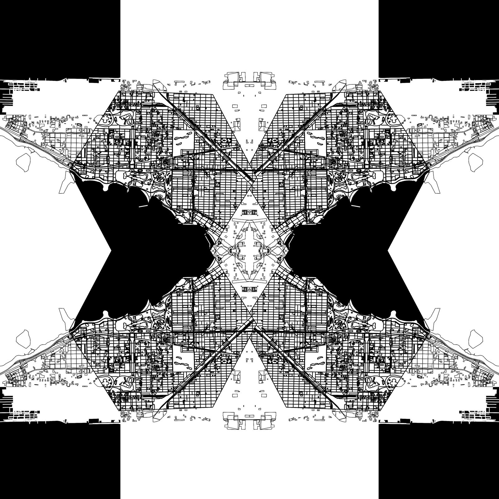
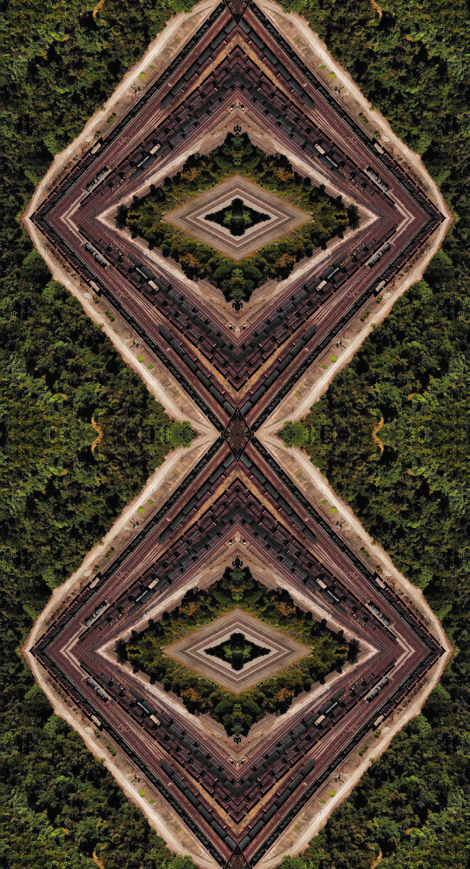
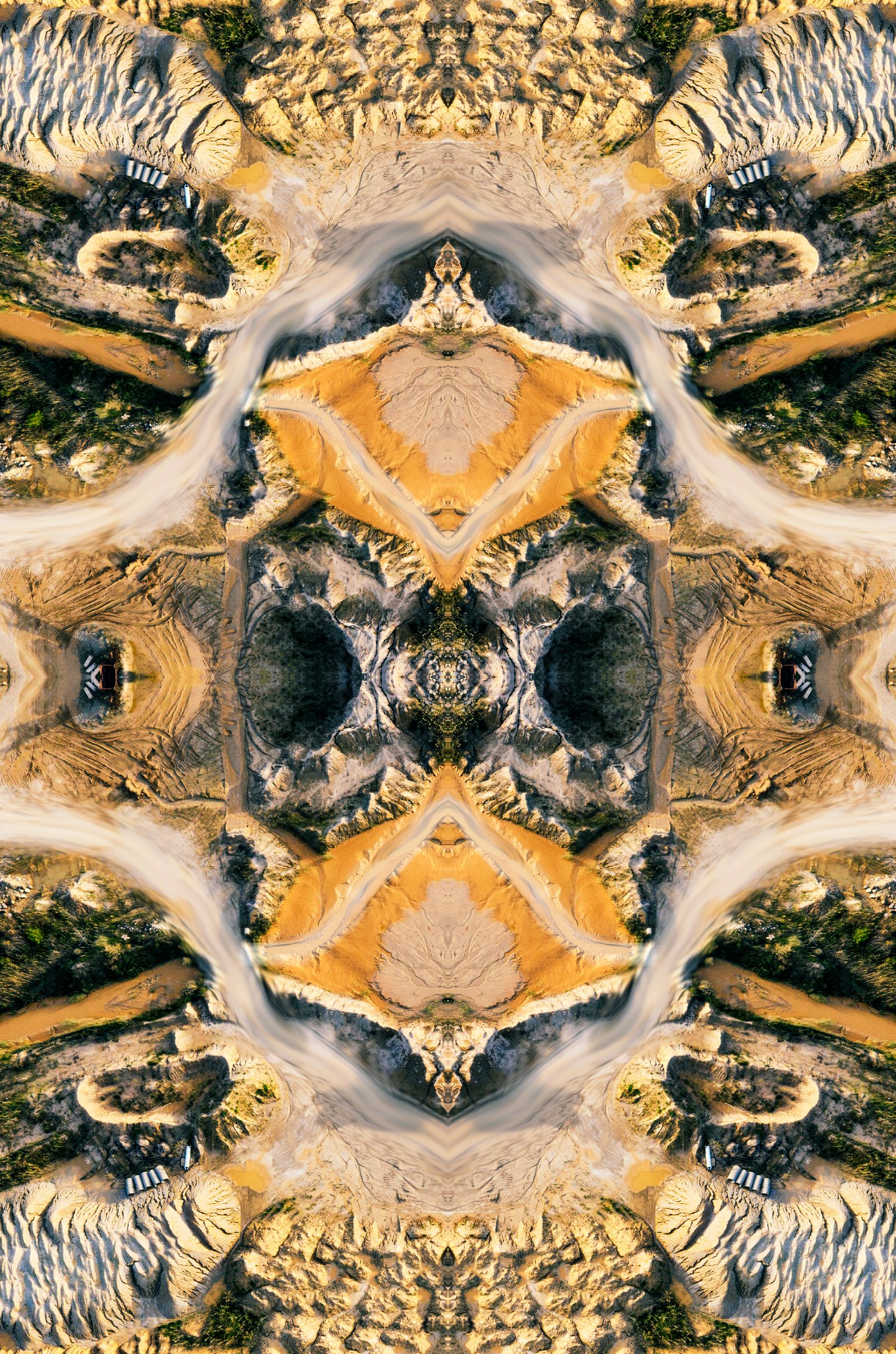
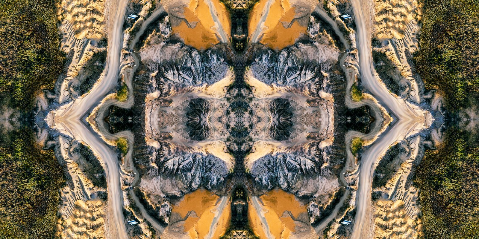
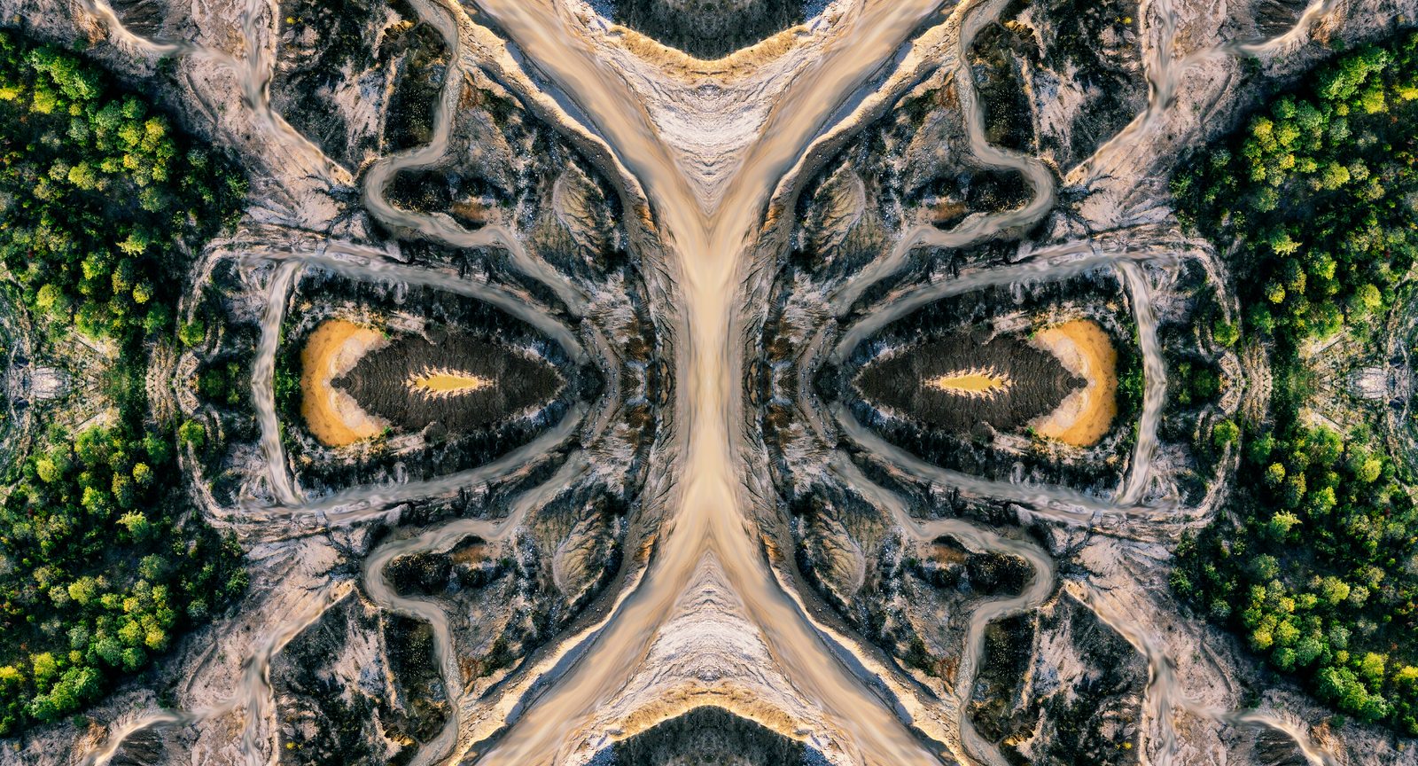
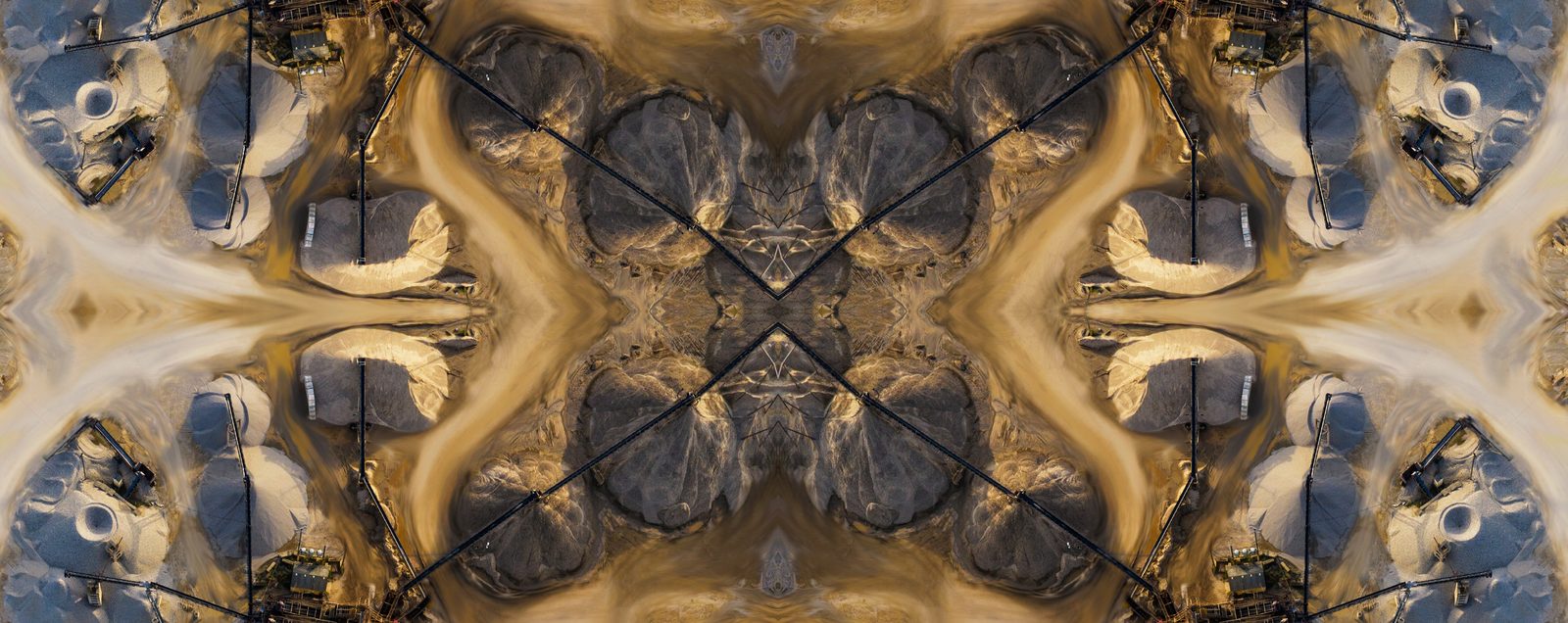
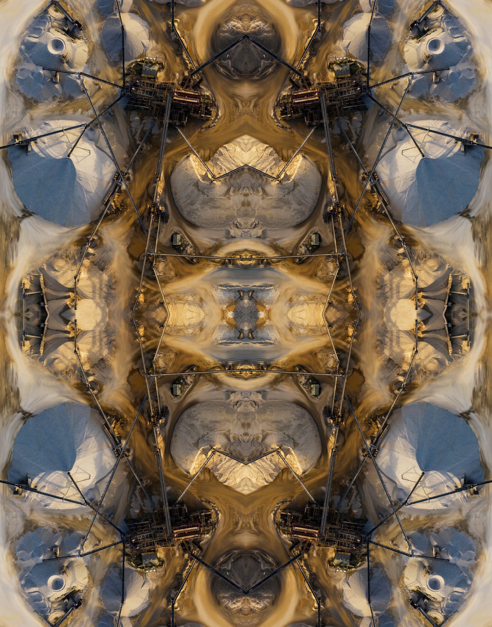
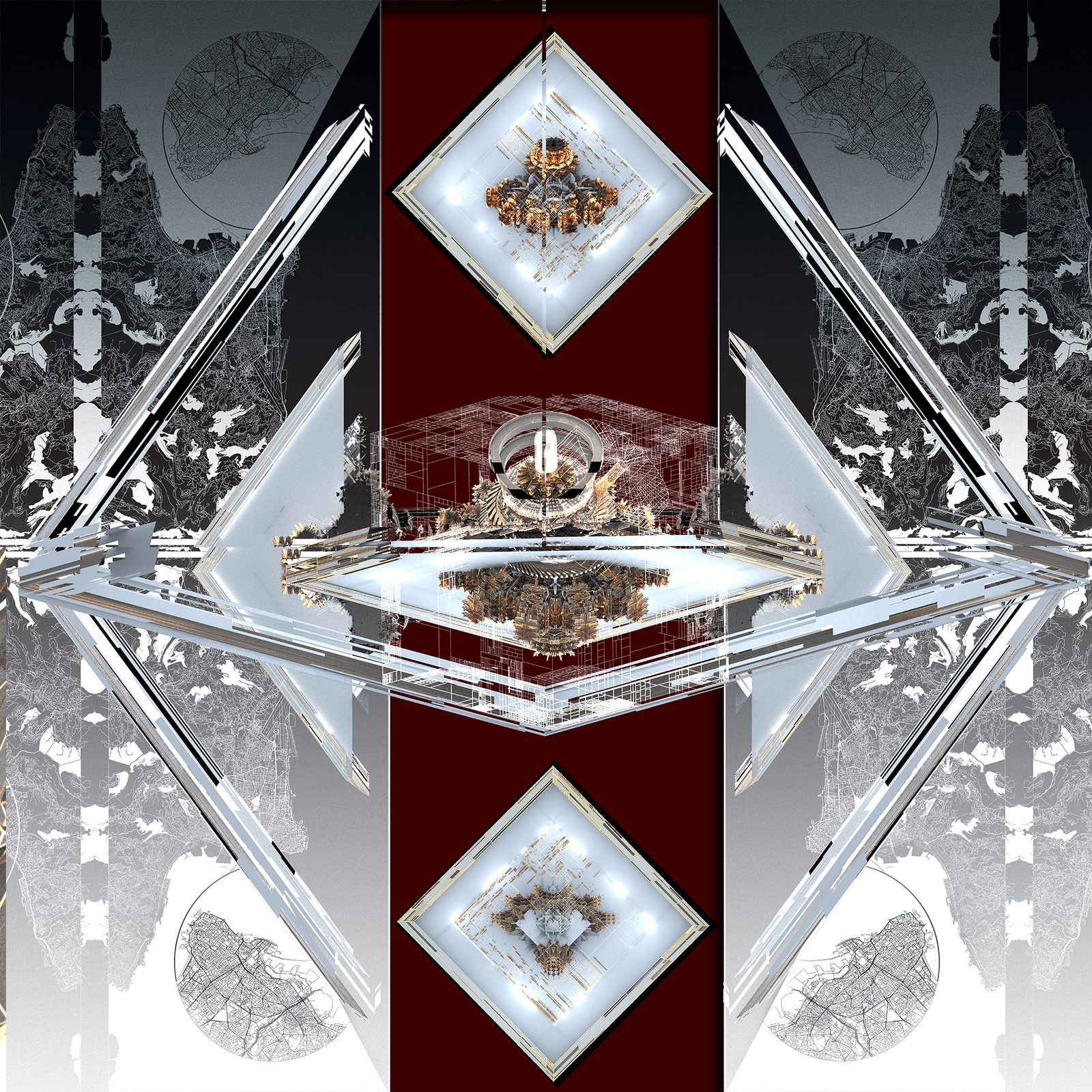
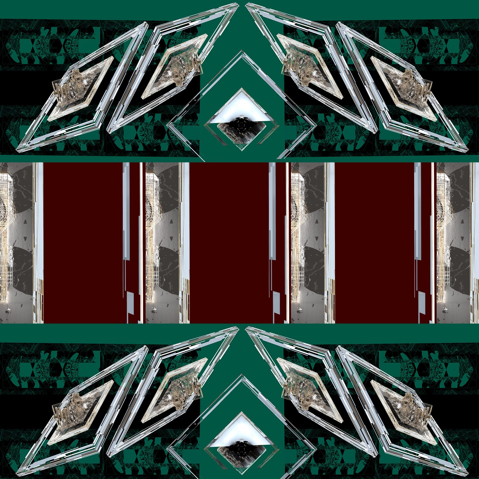
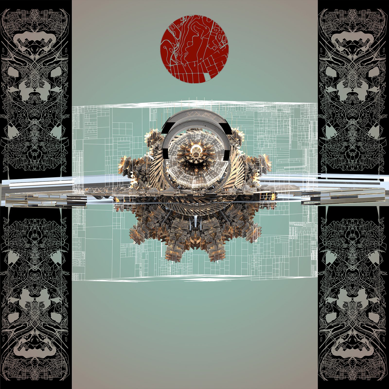
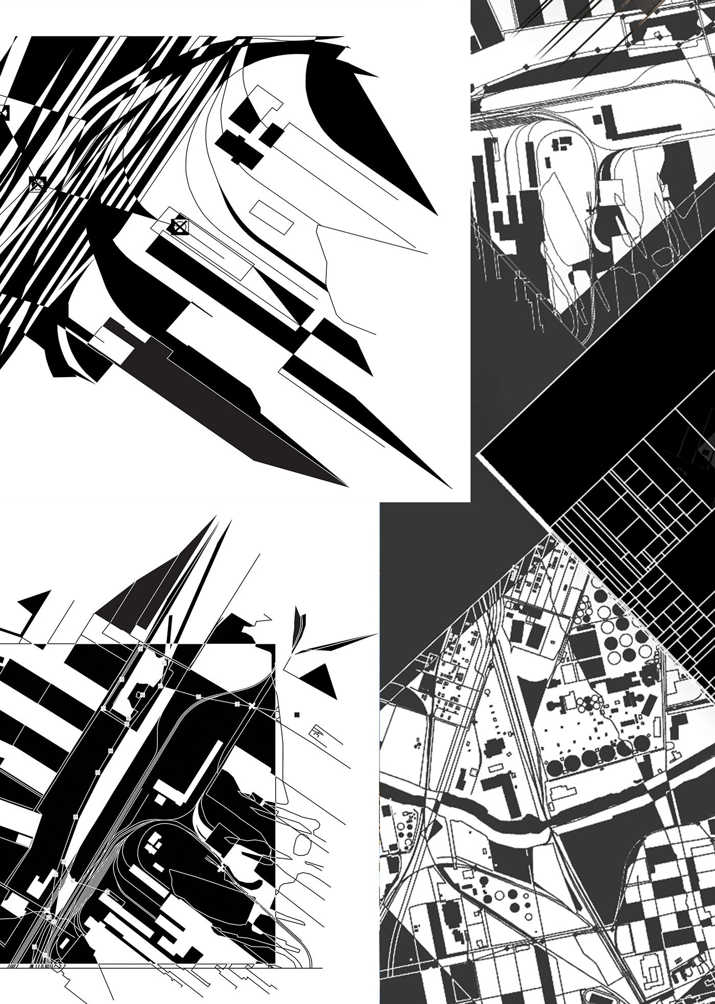
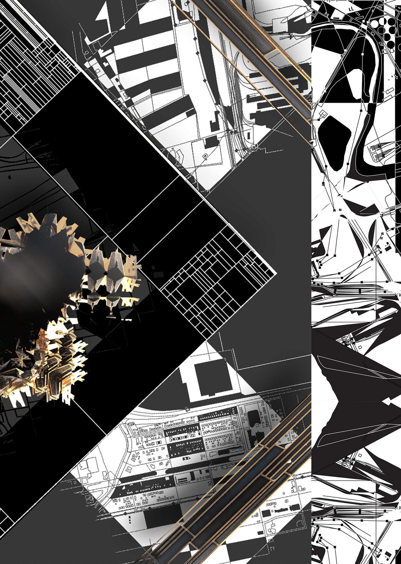
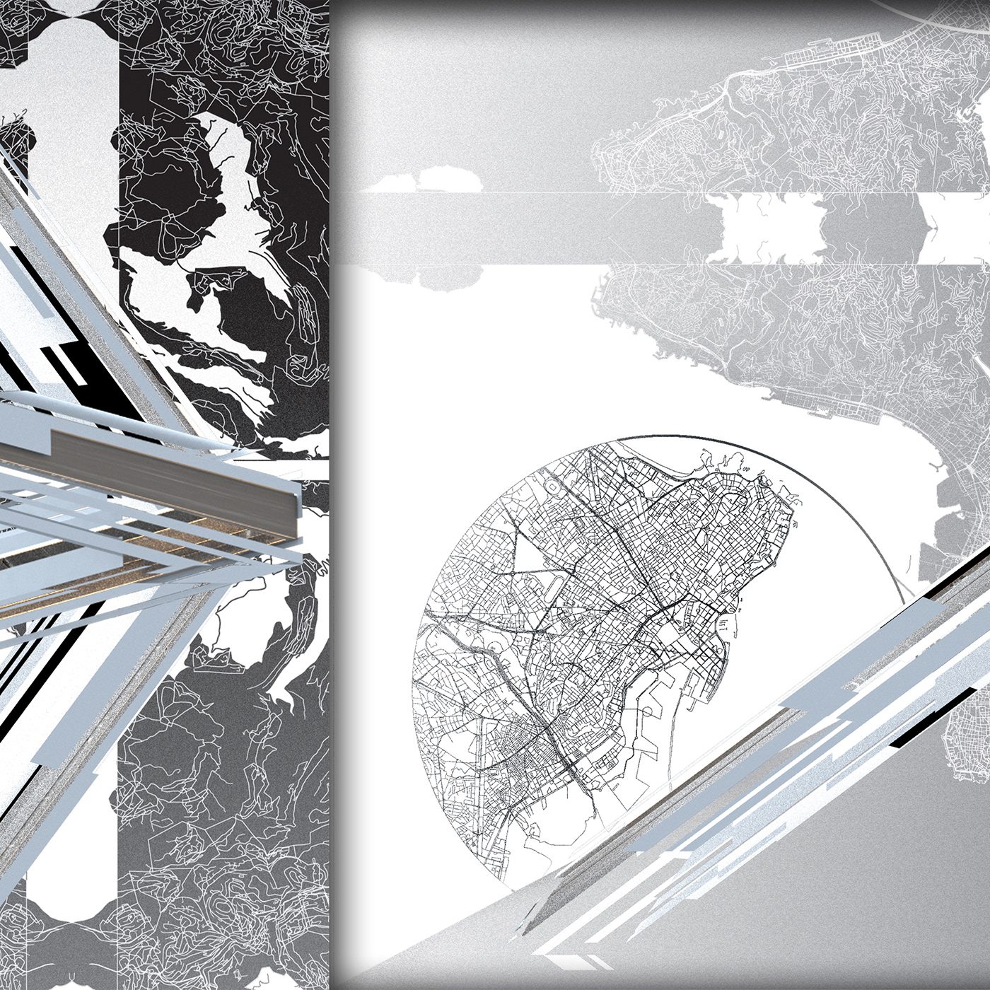
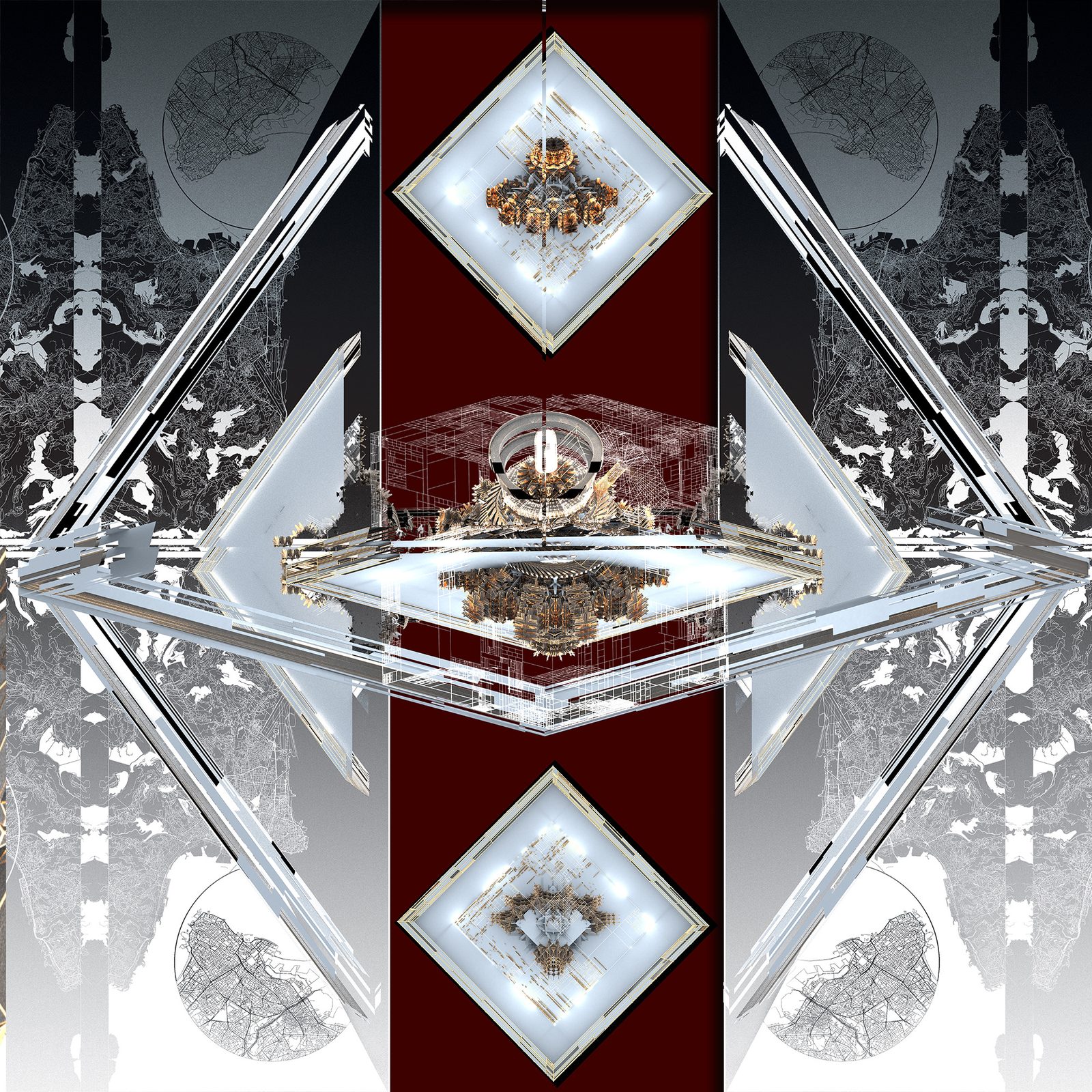
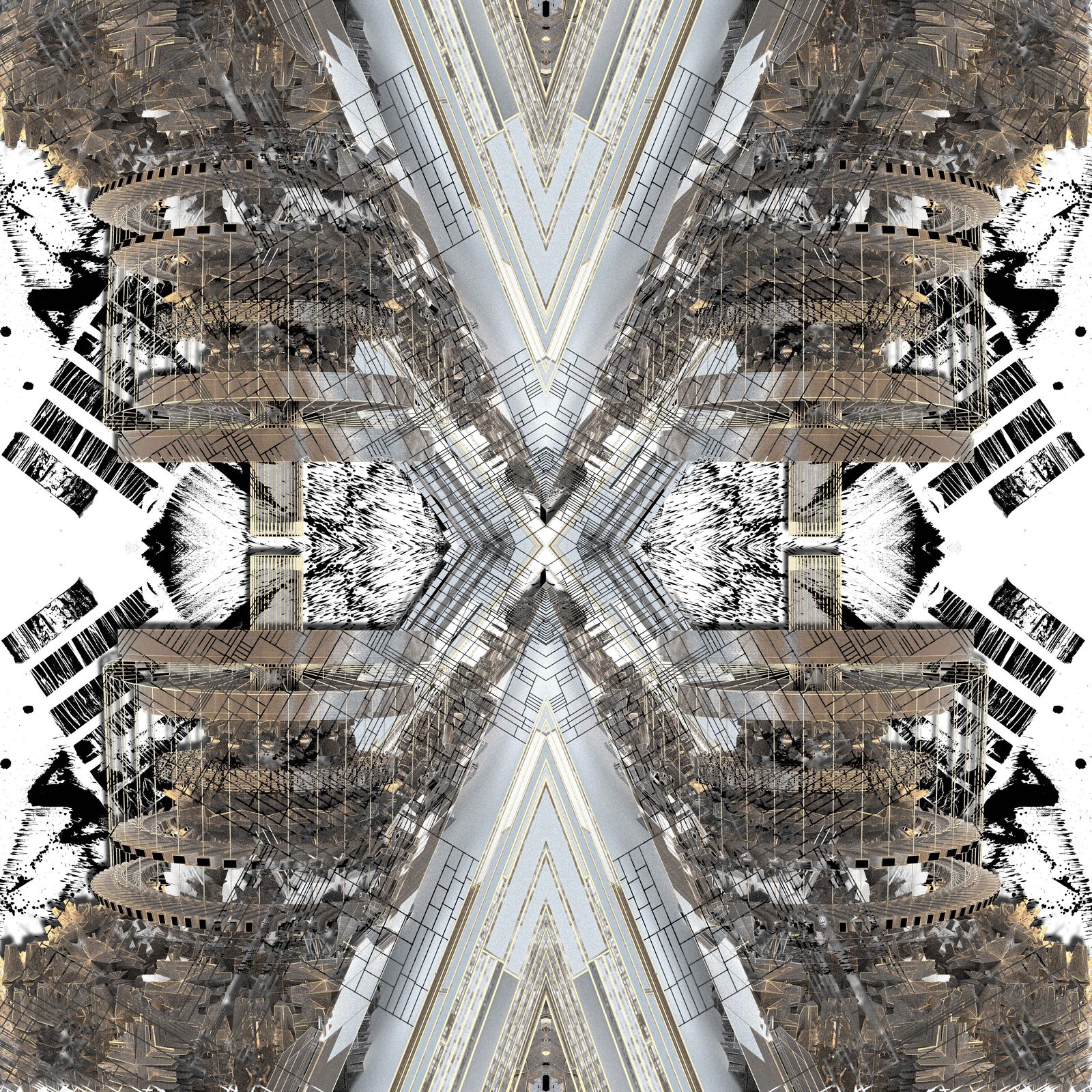
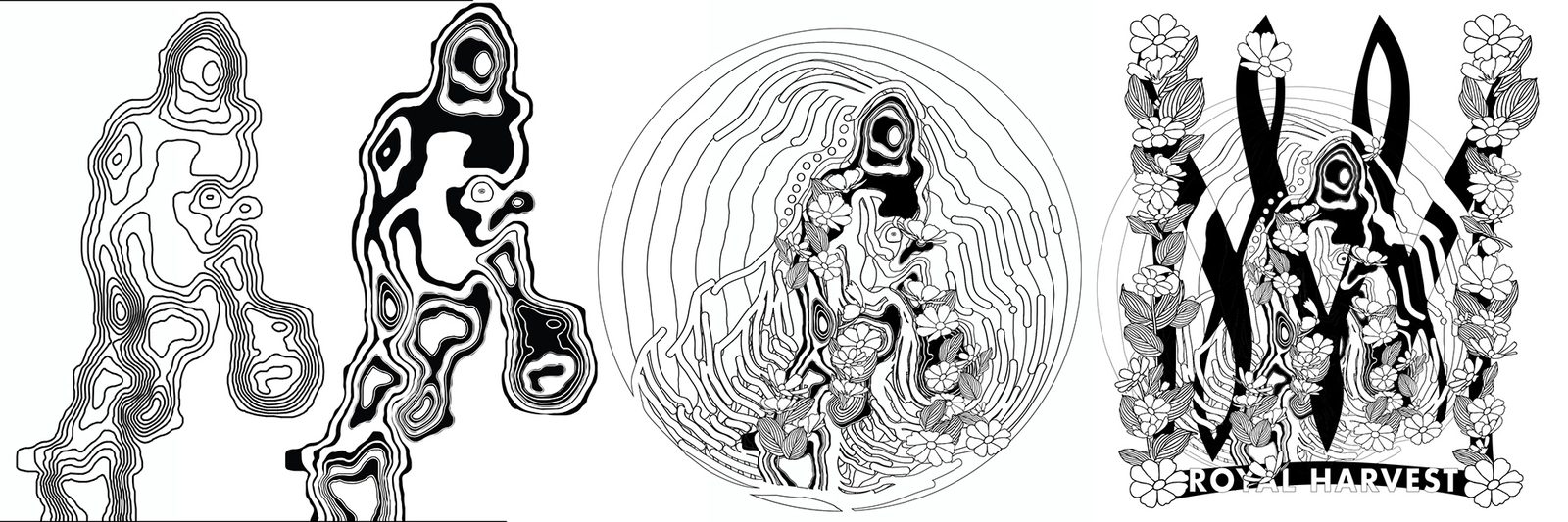
I then took the vectors of the street maps broke them apart and reassembled the fragments into complex symbols/pictographs that resemble older written languages. This site is one of three (so far) that have gone on to drive digital illustrations and motion graphic pieces as a way of reclaiming some agency through surreal environmental recreations.
These areas closest to the factory are mostly low income communities of color. The mill is the primary source of both smog and income in these areas. I've taken drone photographs of the site and overlaid street maps of the affected neighborhoods.
I then took the vectors of the street maps broke them apart and reassembled the fragments into complex symbols/pictographs that resemble older written languages. This site is one of three (so far) that have gone on to drive digital illustrations and motion graphic pieces as a way of reclaiming some agency through surreal environmental recreations.
Further readings & Map data sources:
https://www.citylab.com/environment/2018/08/environmentalists-by-necessity/566480/
https://www.post-gazette.com/news/environment/2017/11/14/US-Steel-Edgar-Thomson-mill-Pittsburgh-Braddock-on-notice-pollution-equipment-violations-EPA-ACHD/stories/201711140148
https://www.citylab.com/environment/2018/08/environmentalists-by-necessity/566480/
https://www.post-gazette.com/news/environment/2017/11/14/US-Steel-Edgar-Thomson-mill-Pittsburgh-Braddock-on-notice-pollution-equipment-violations-EPA-ACHD/stories/201711140148
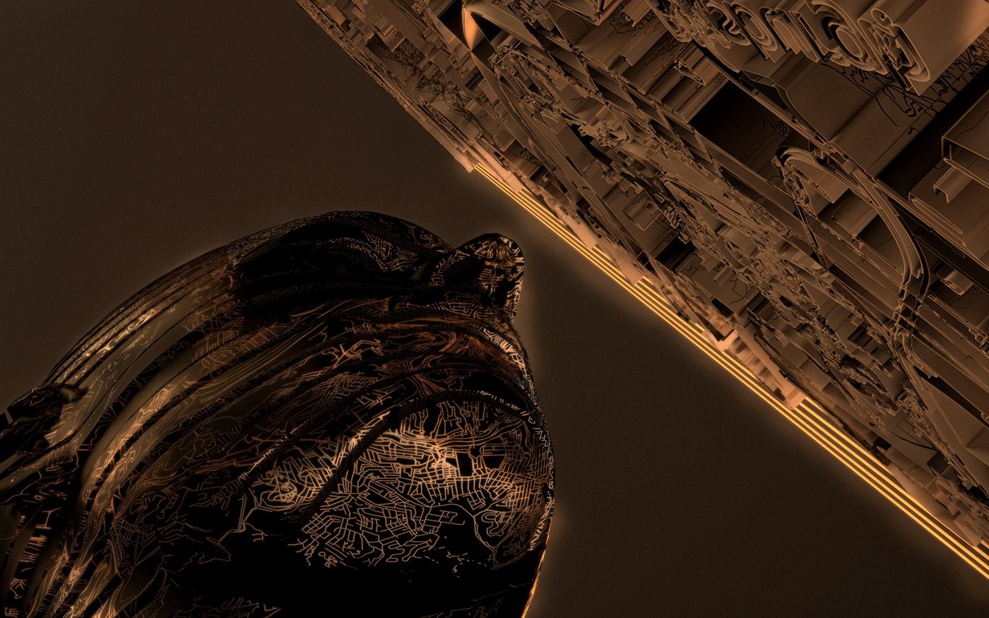
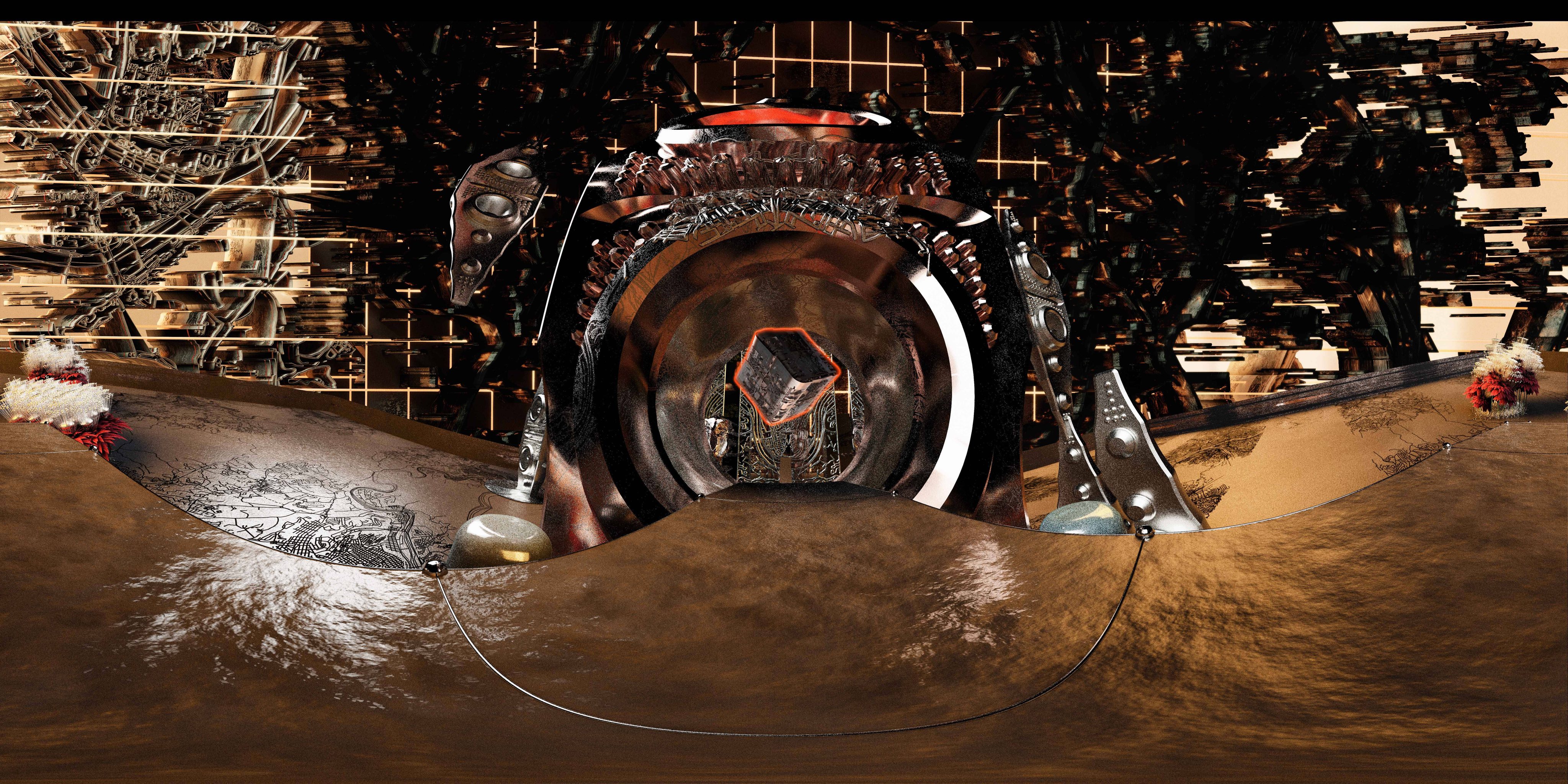
Tectonics
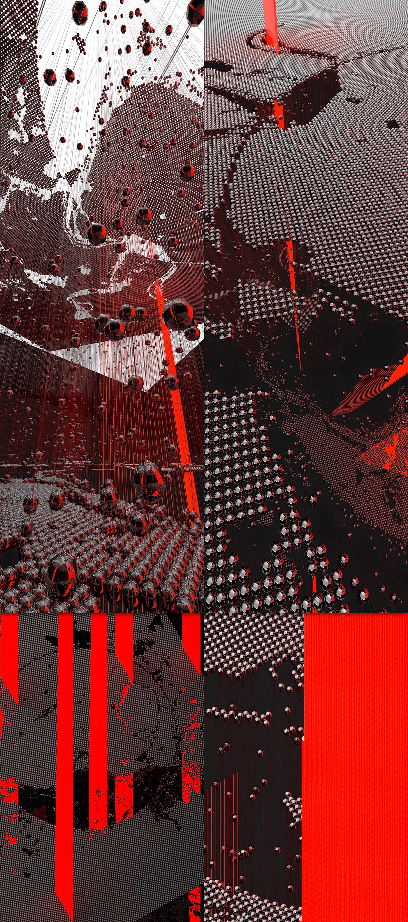
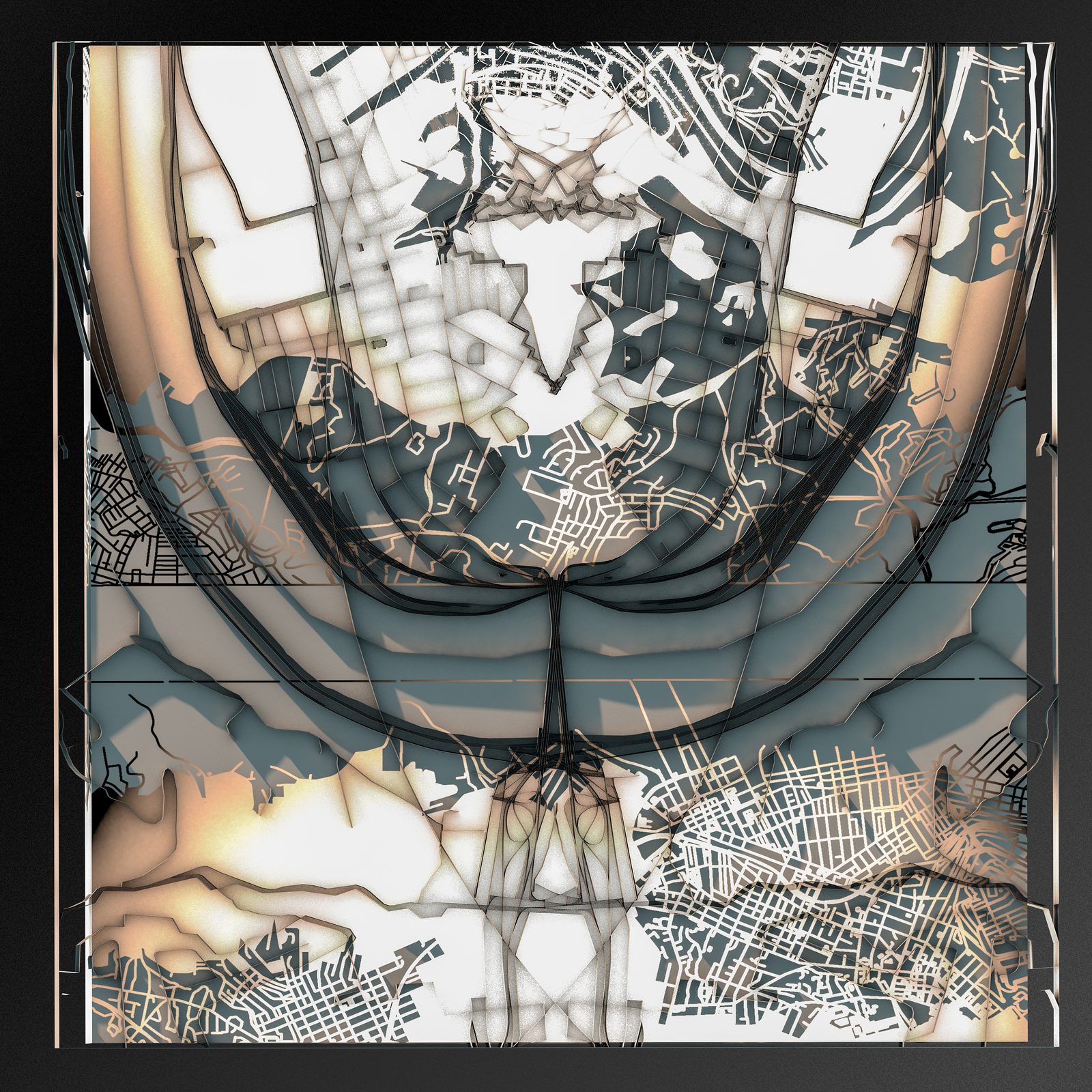
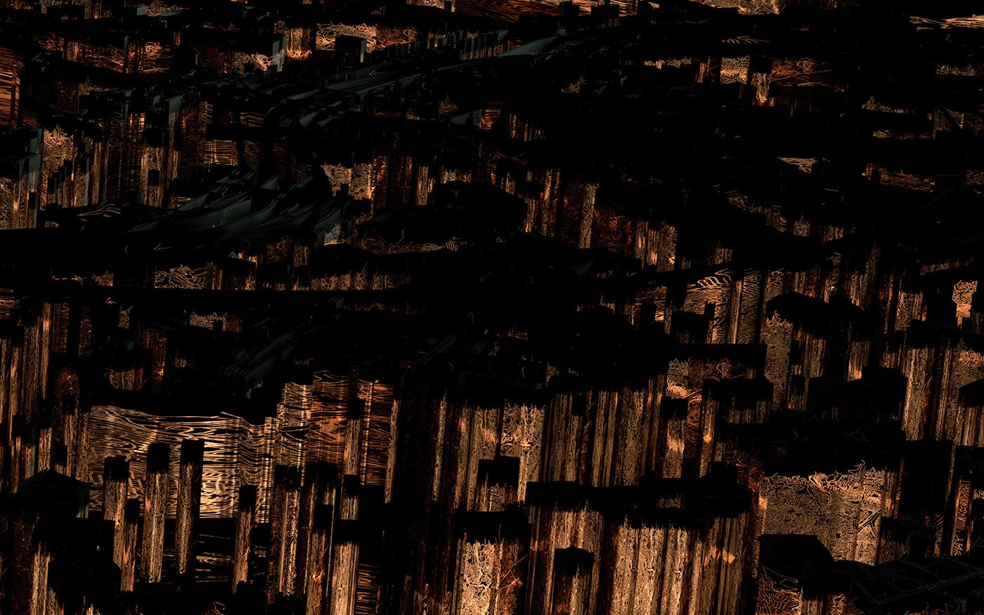
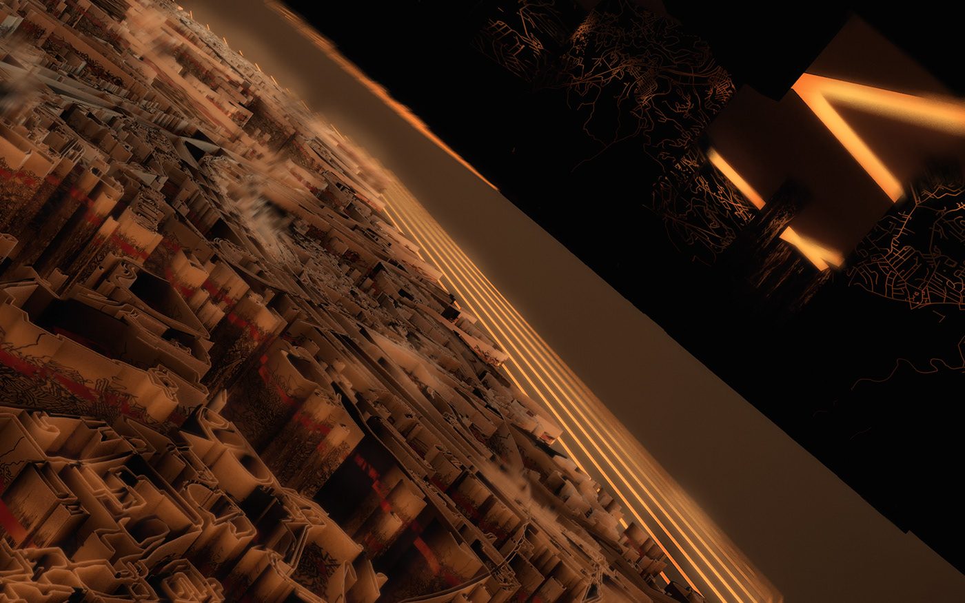
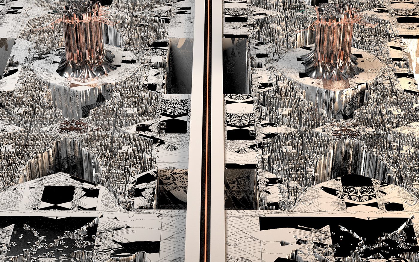
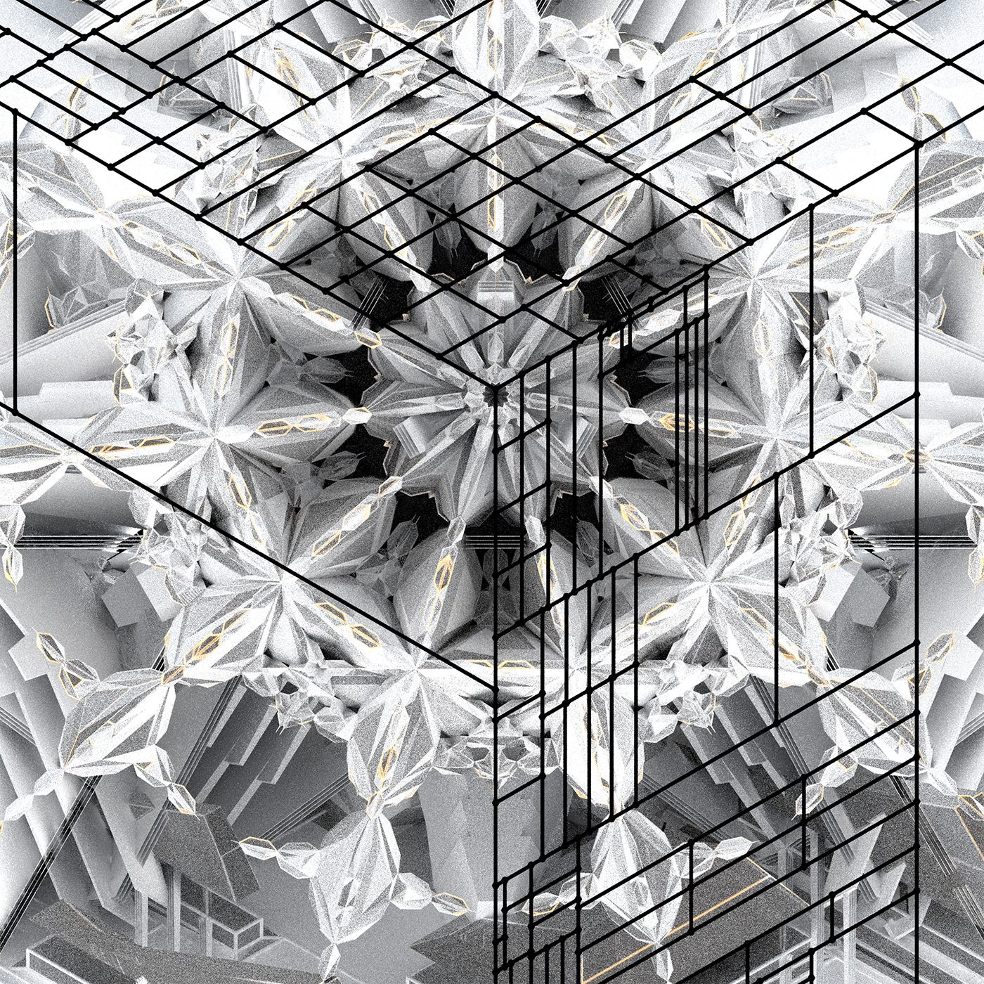
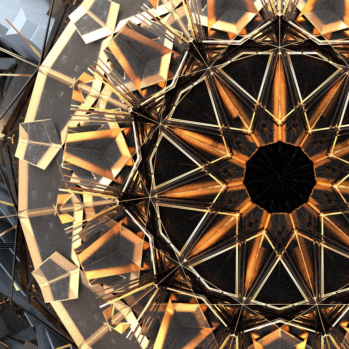
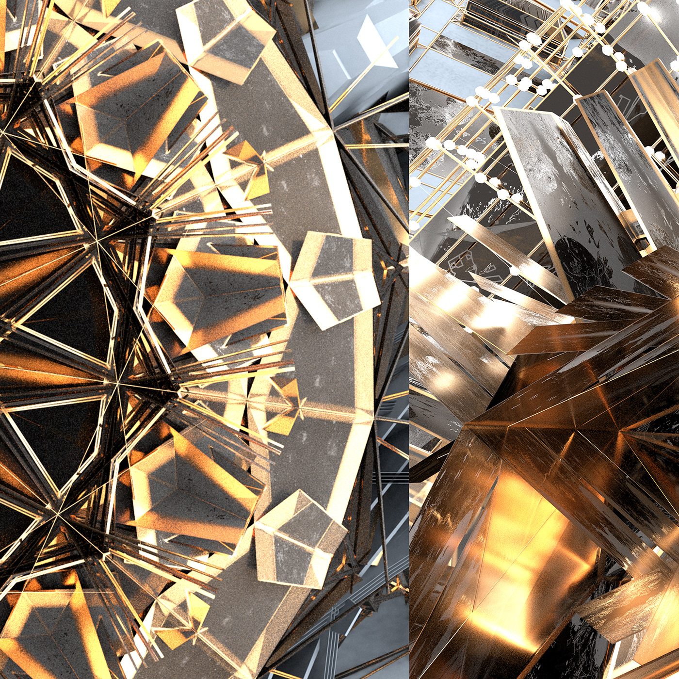
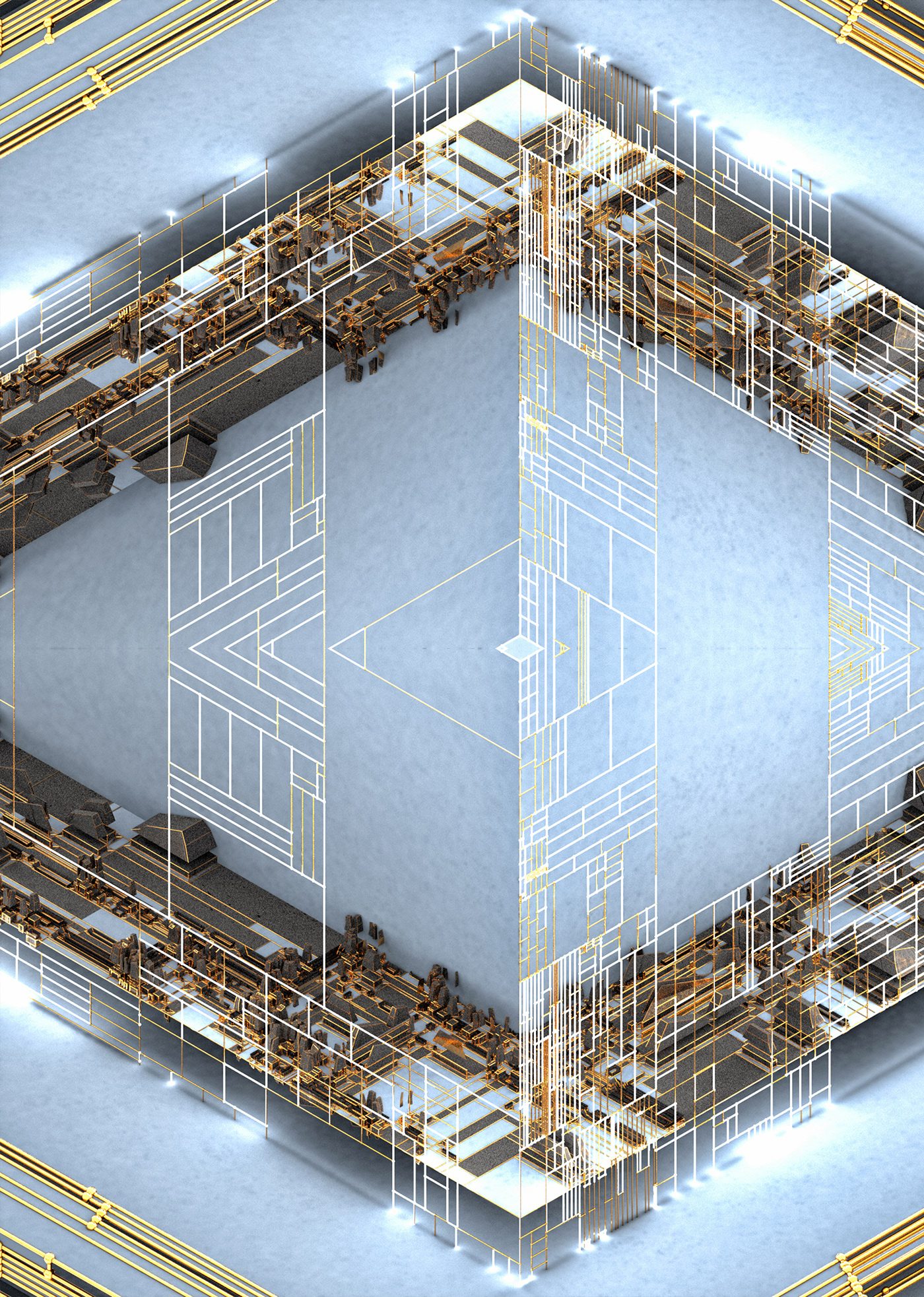
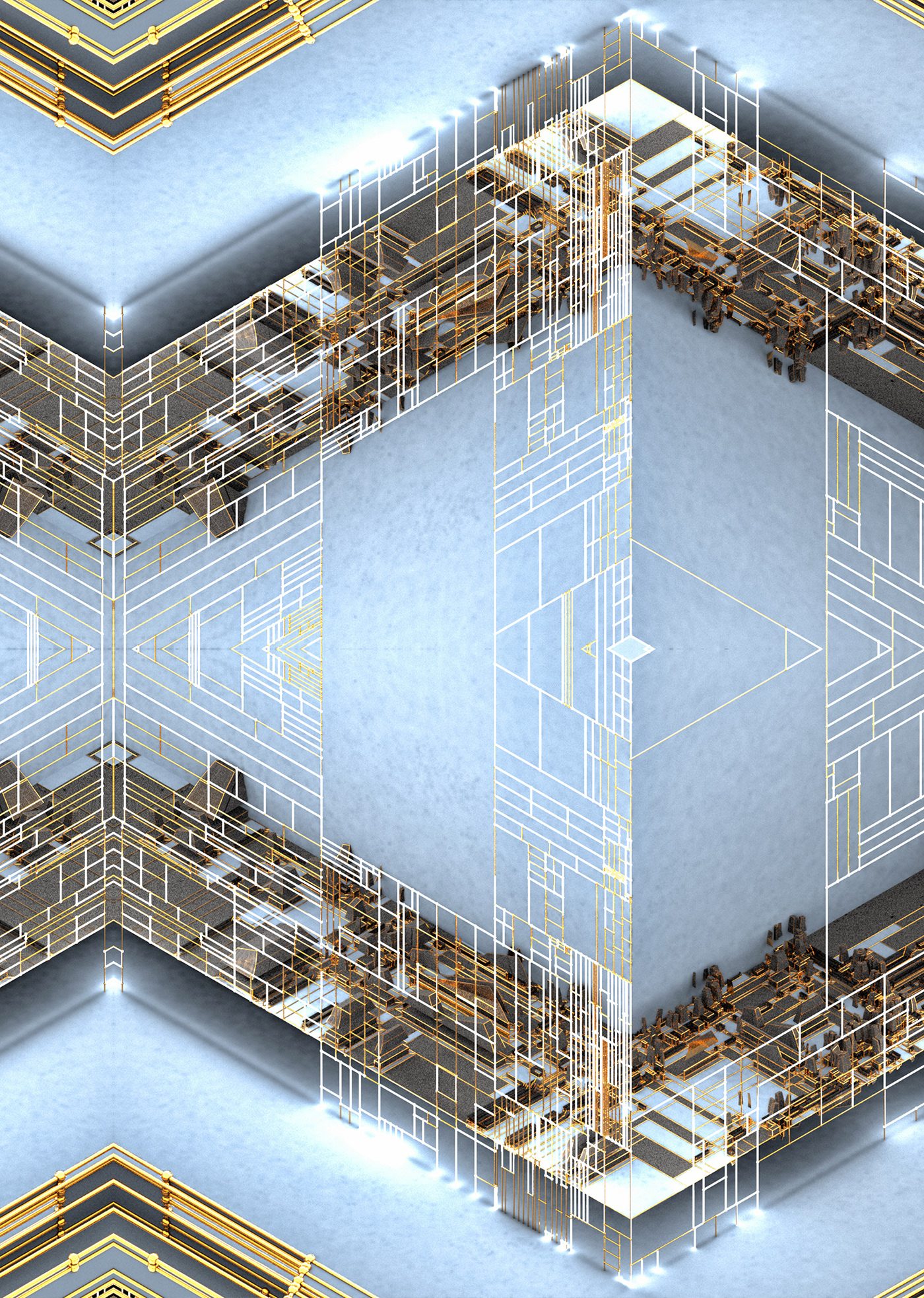
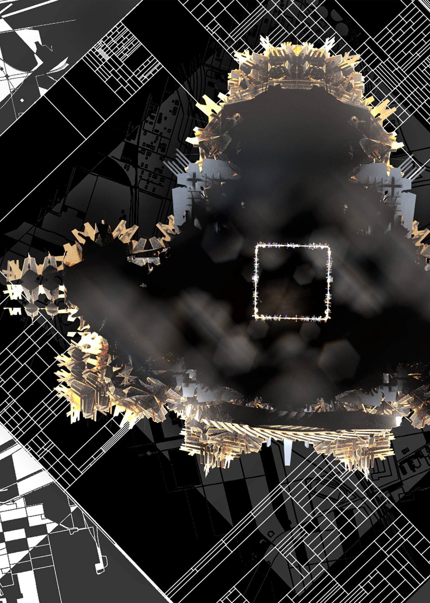
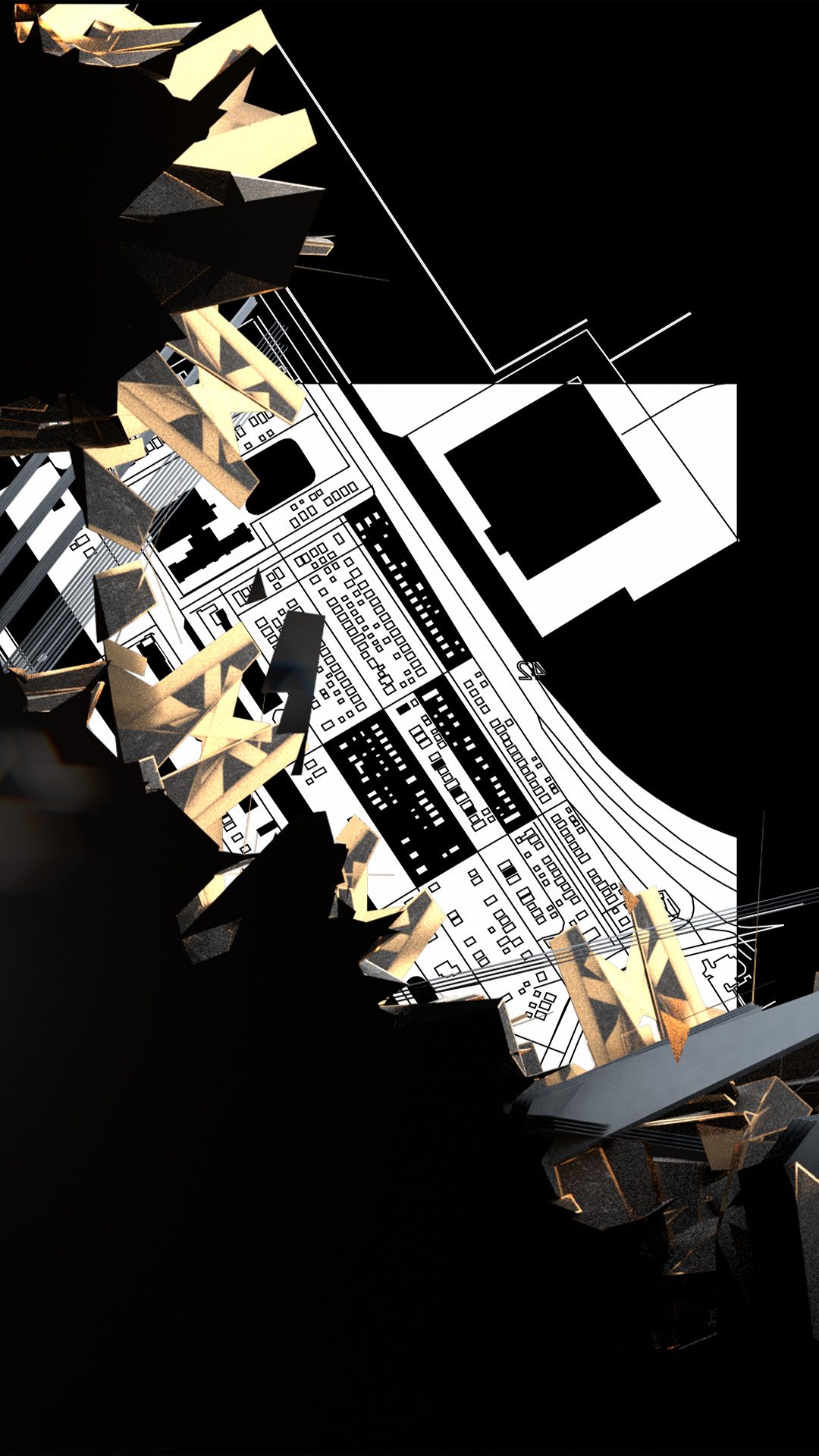
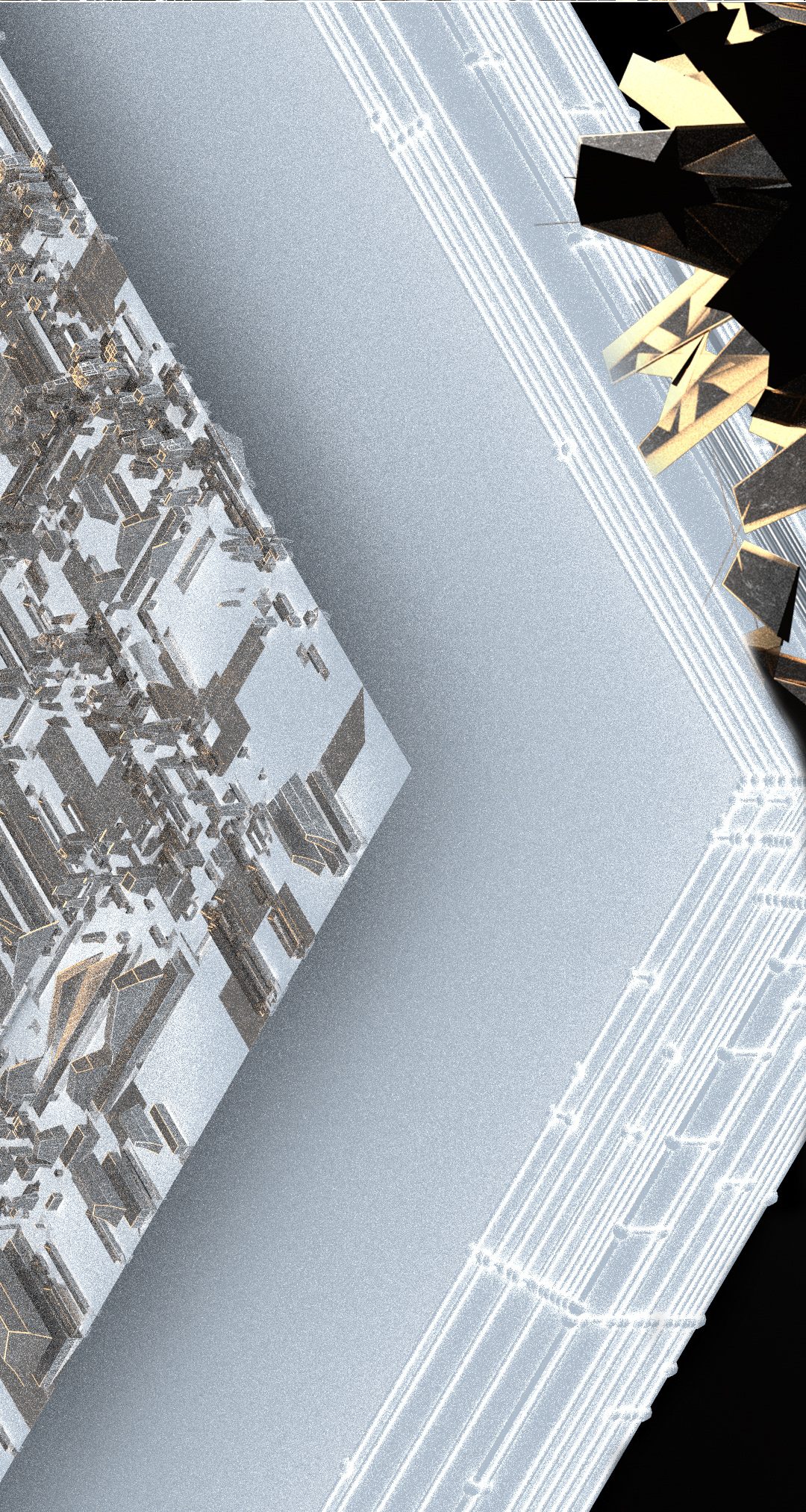
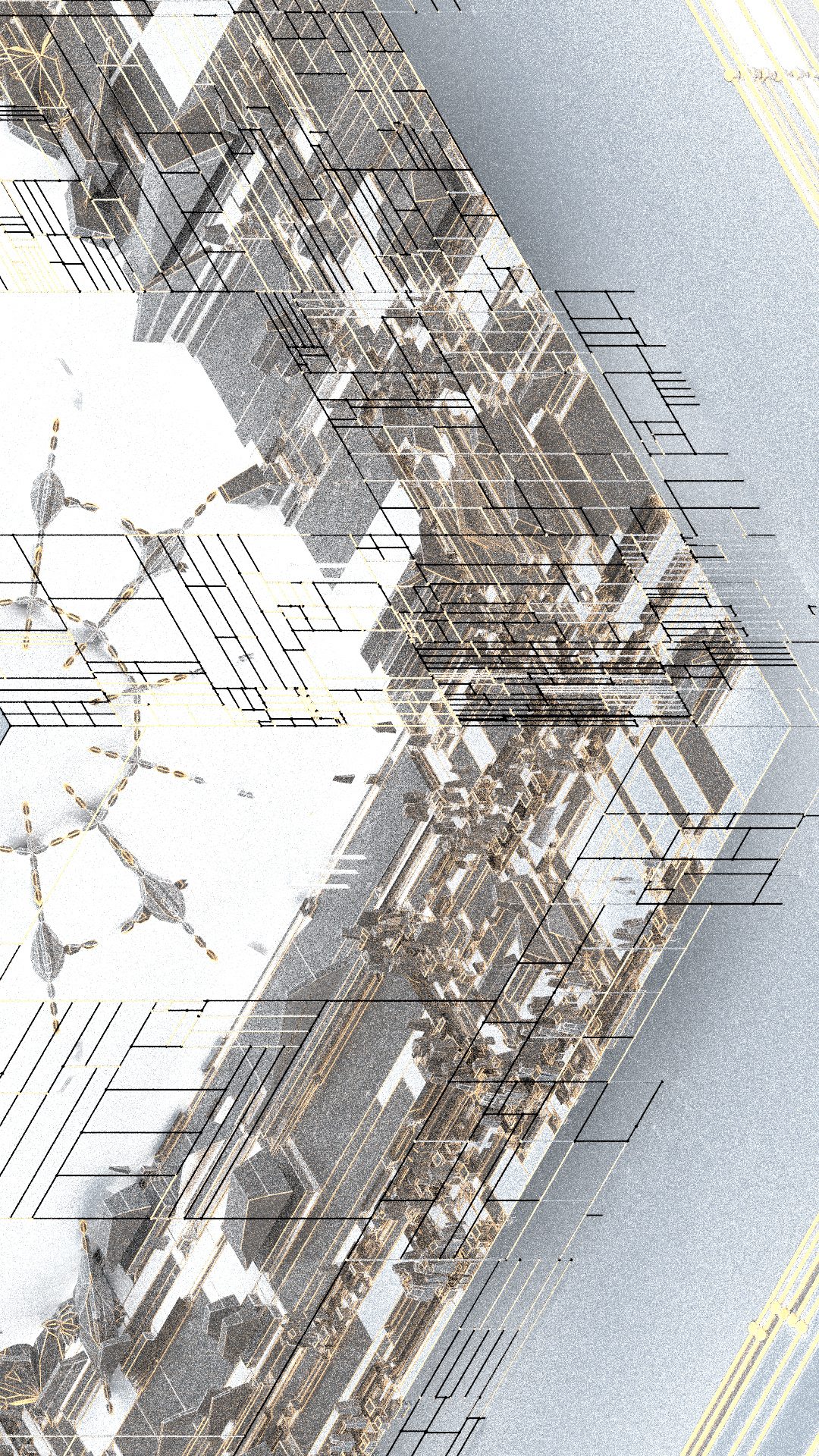
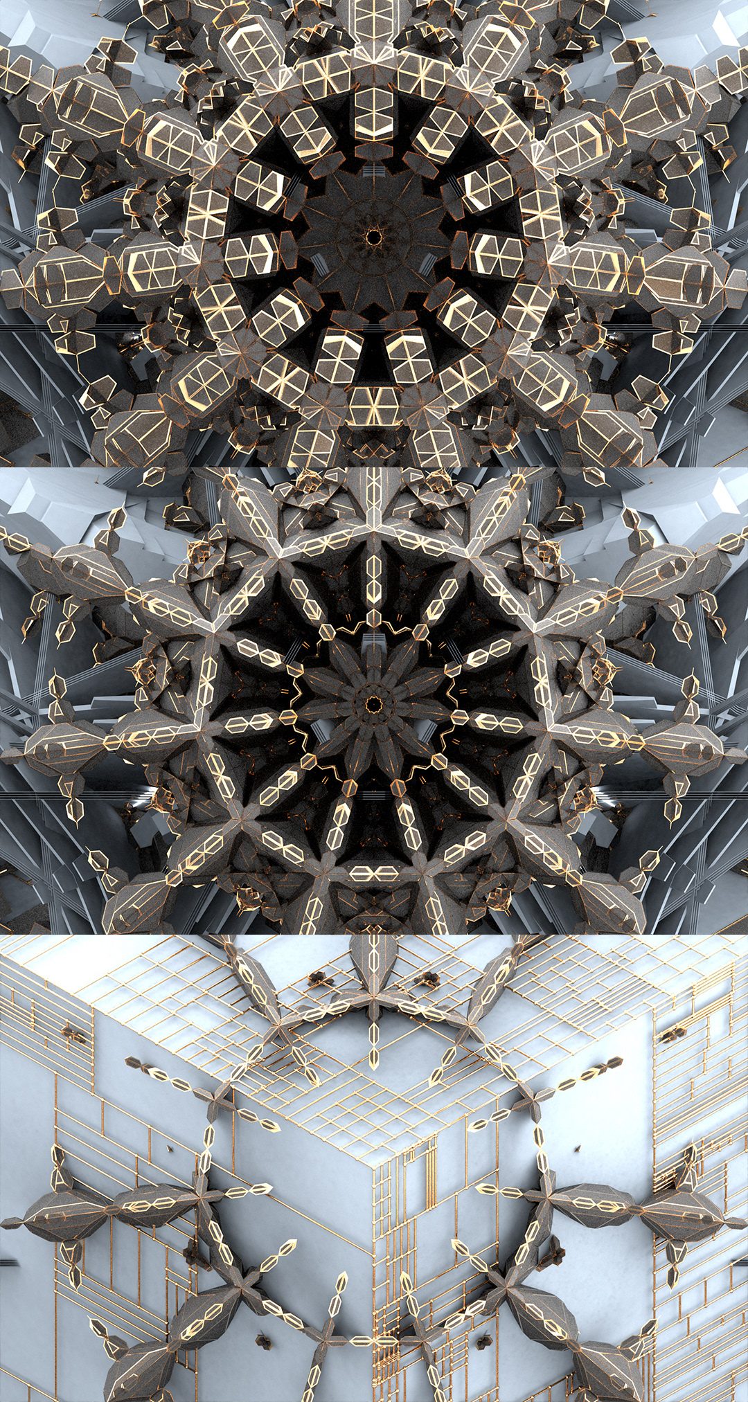
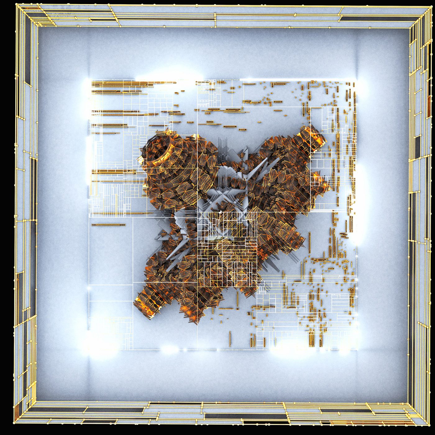
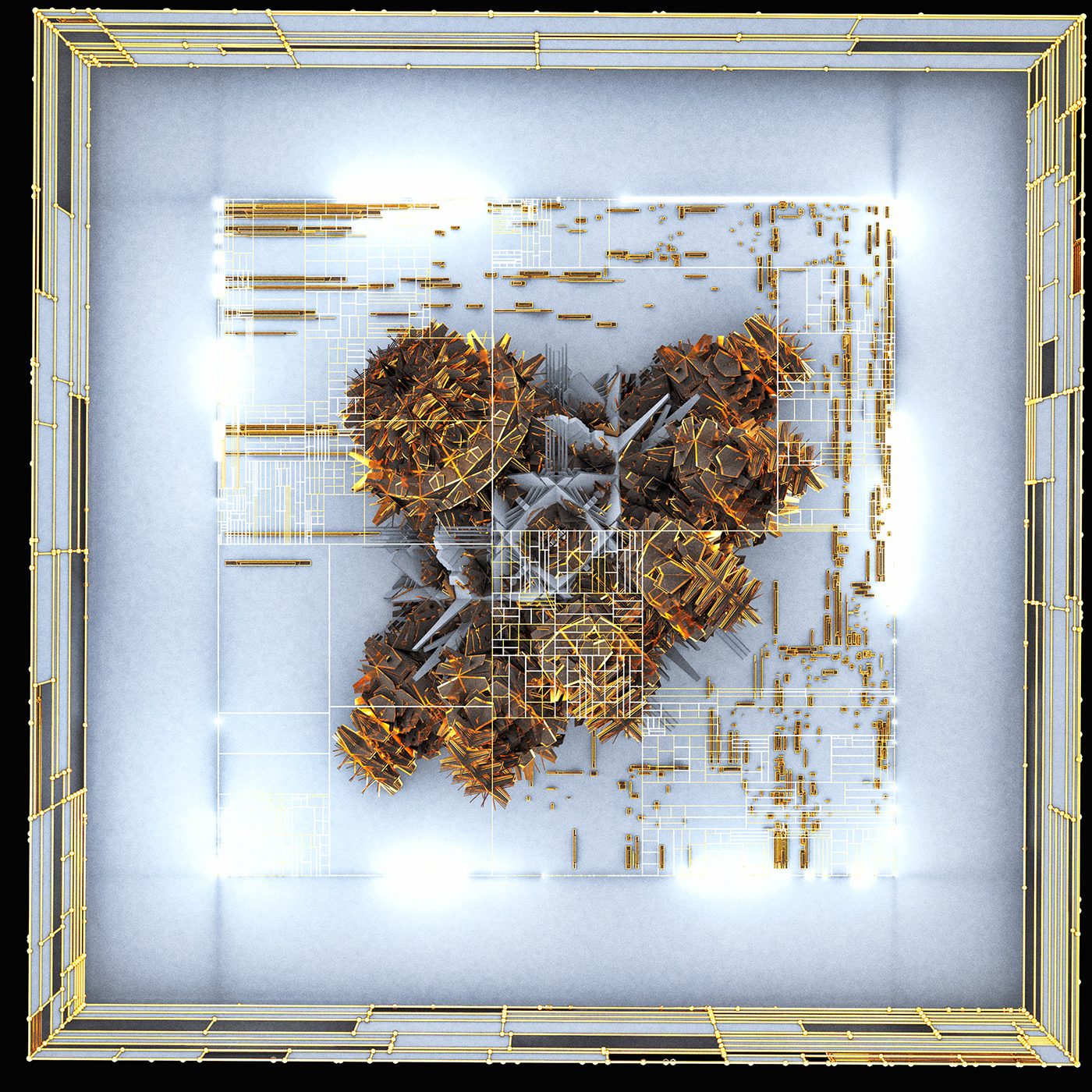
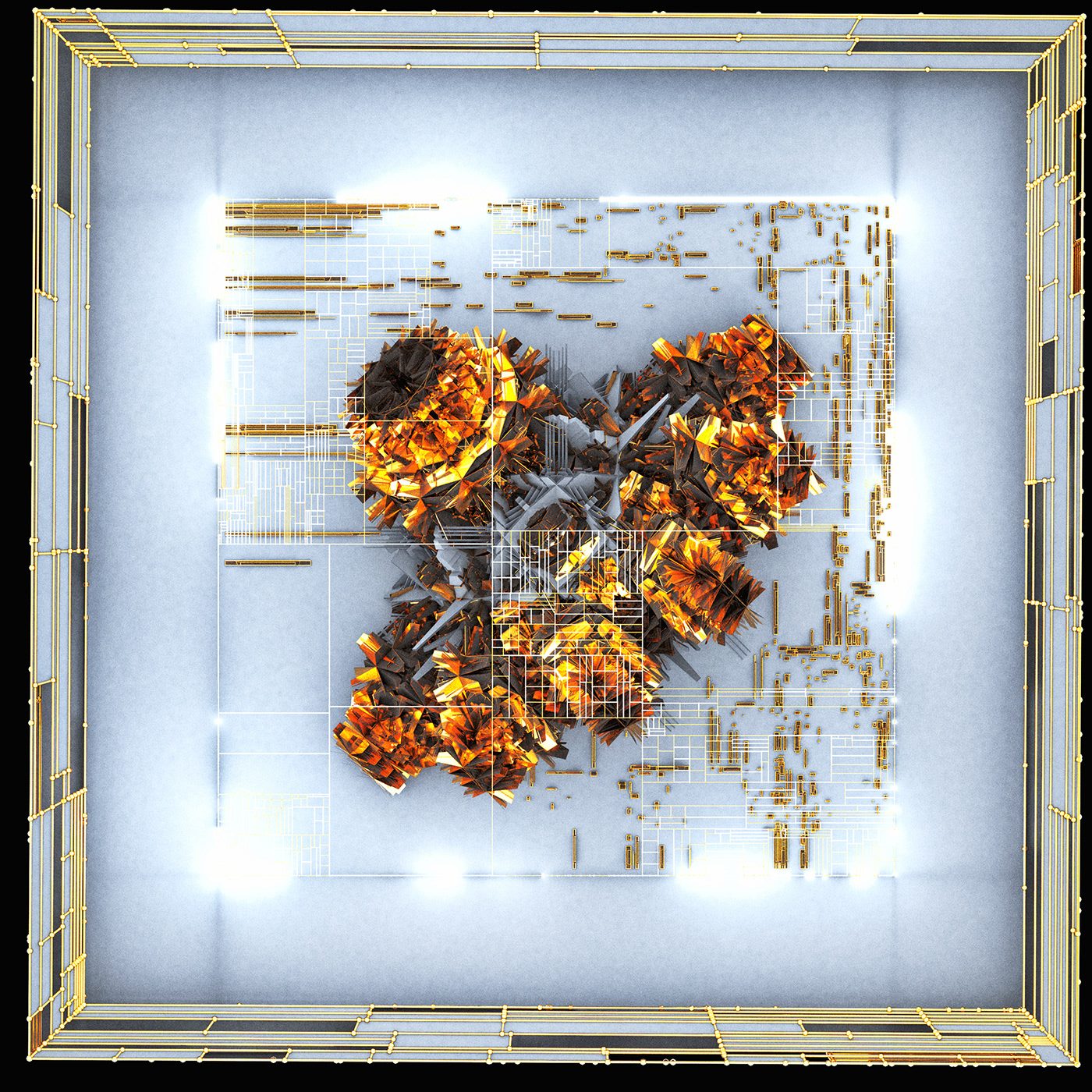
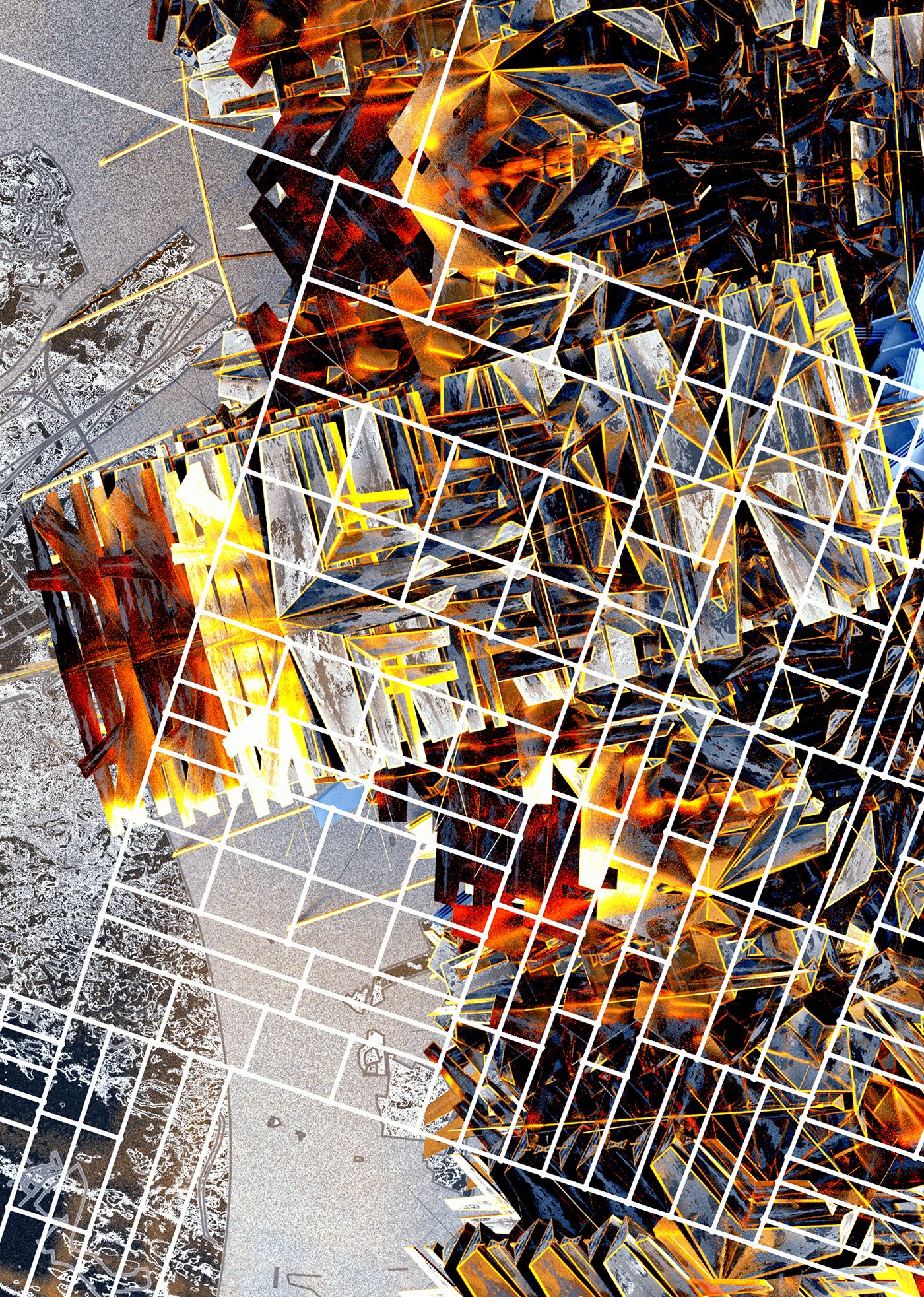
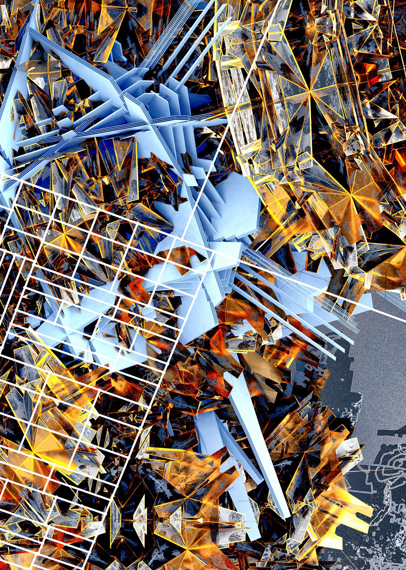
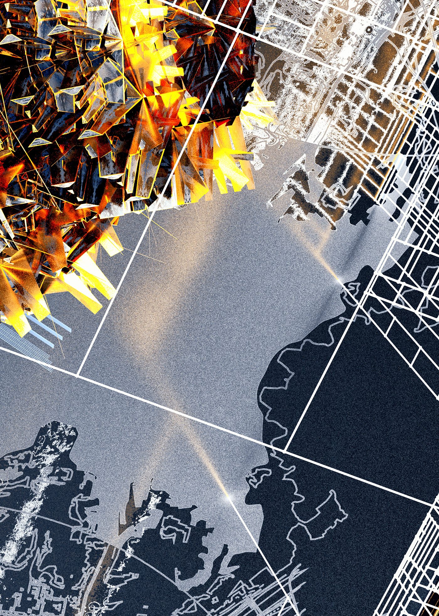
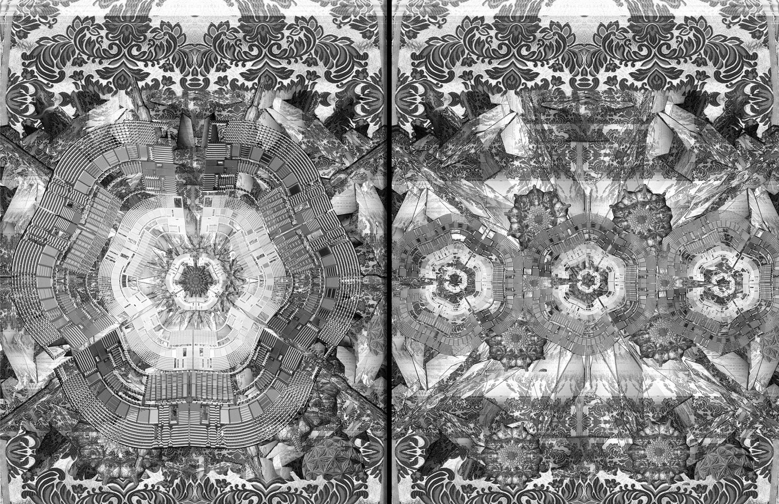
Fragmented map selections extruded and backlit.
Fragmented map selections extruded and backlit.
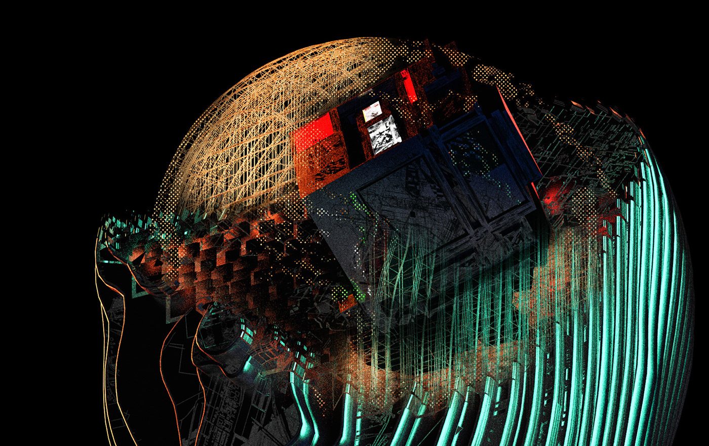
A bridge structure leading to an ensnared figure partially made of/textured by Pittsburgh glyphs.
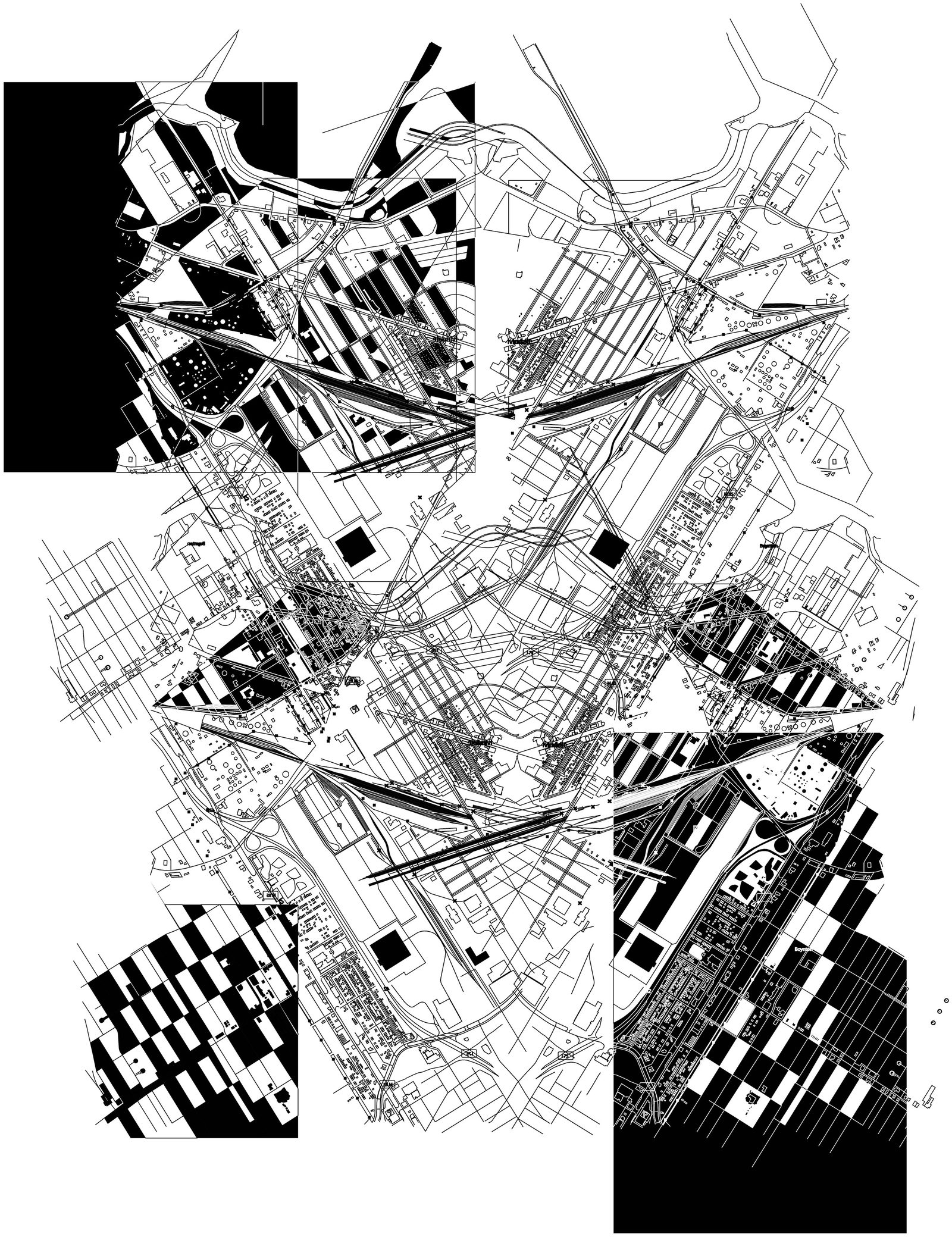
Detroit | River Rouge
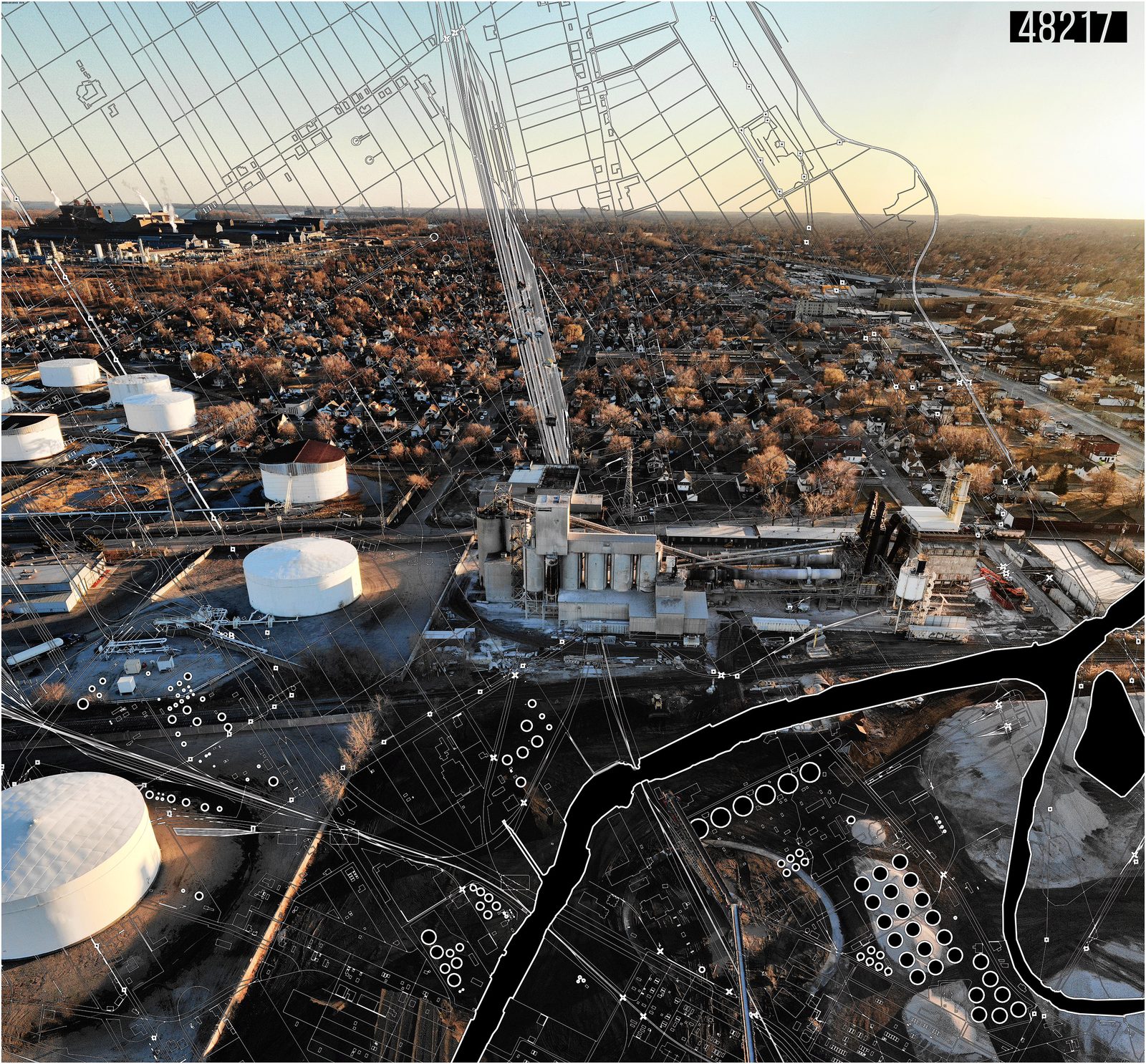
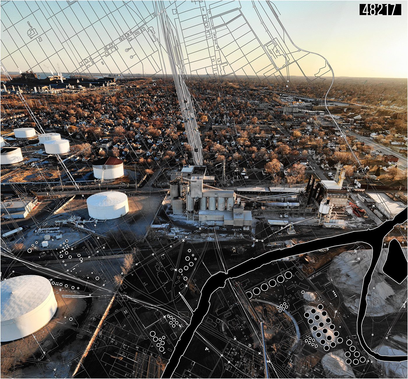
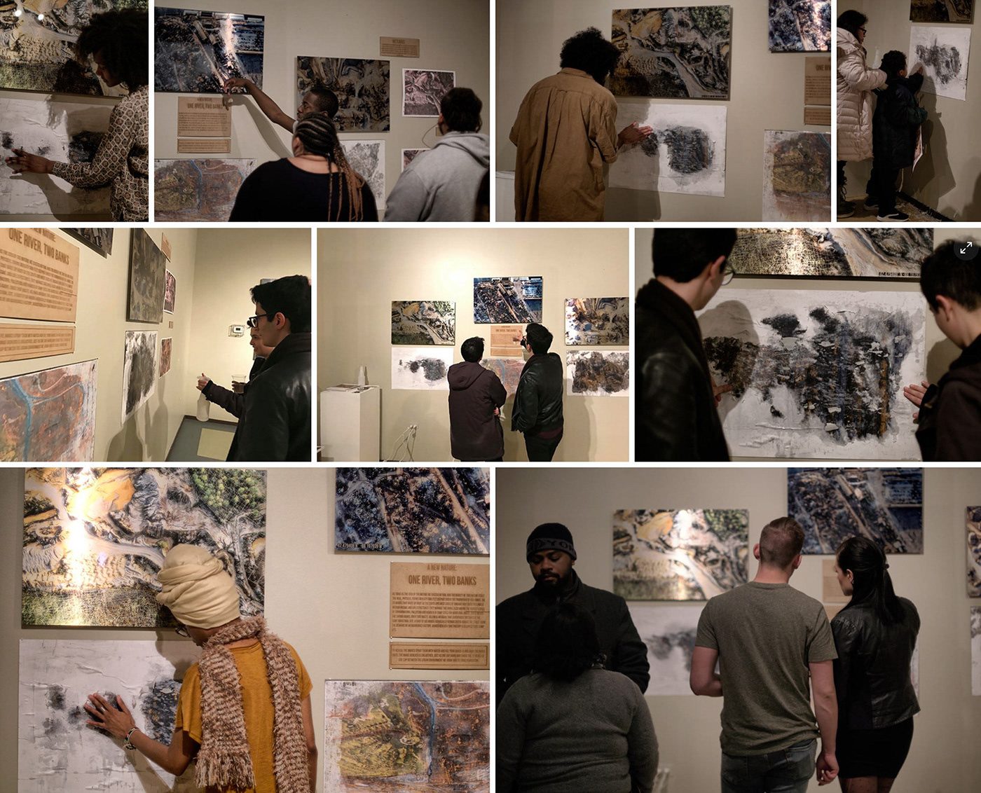
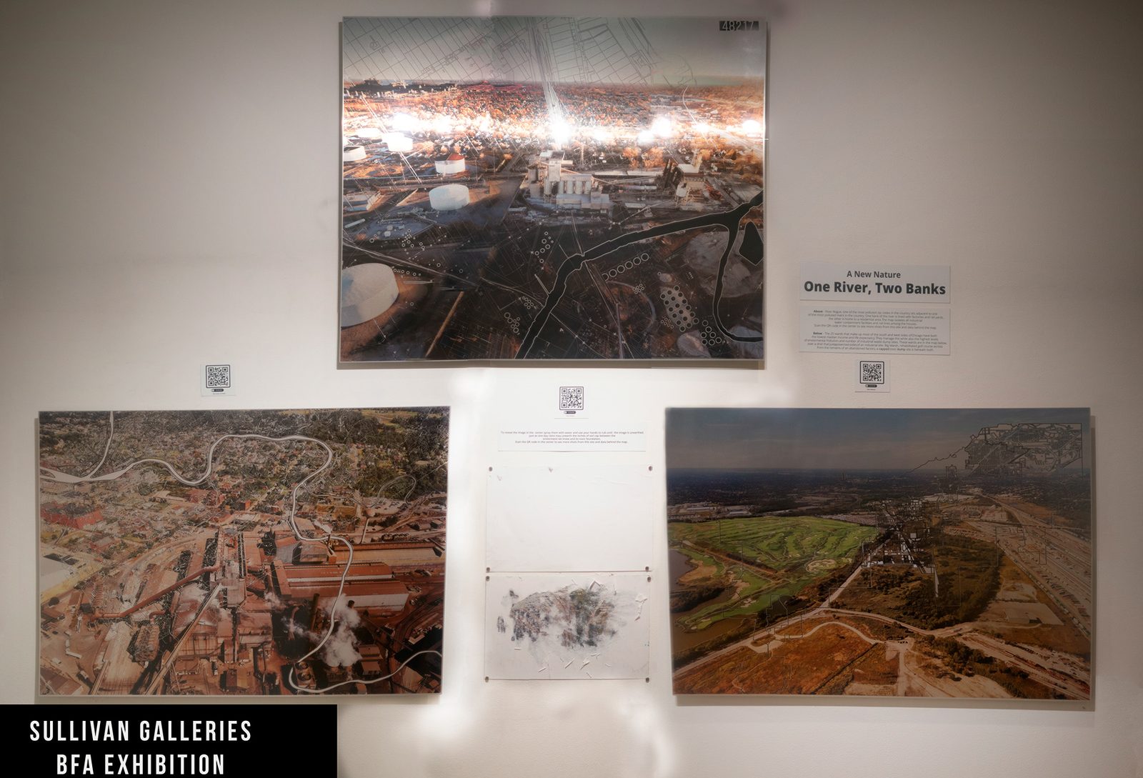
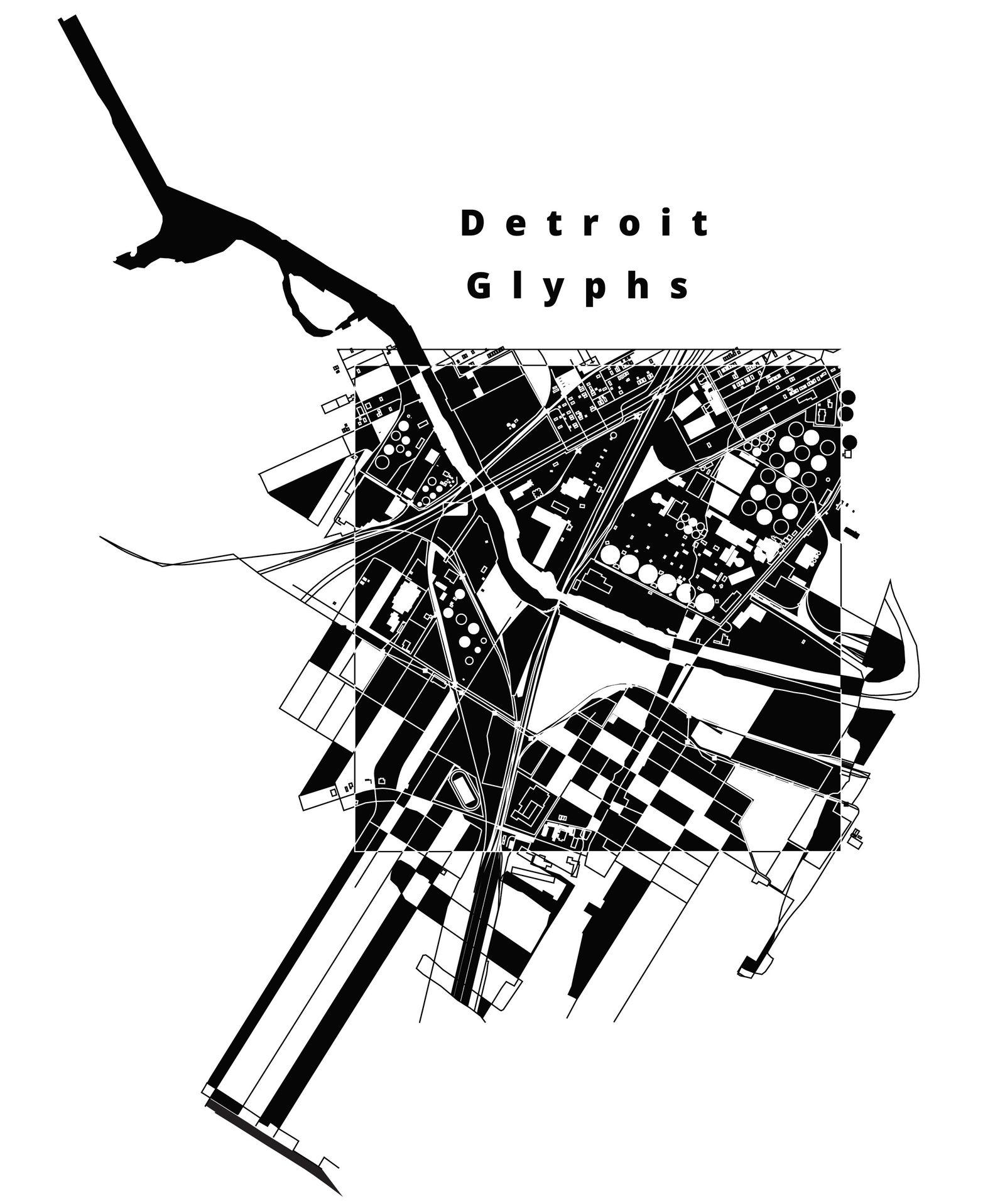
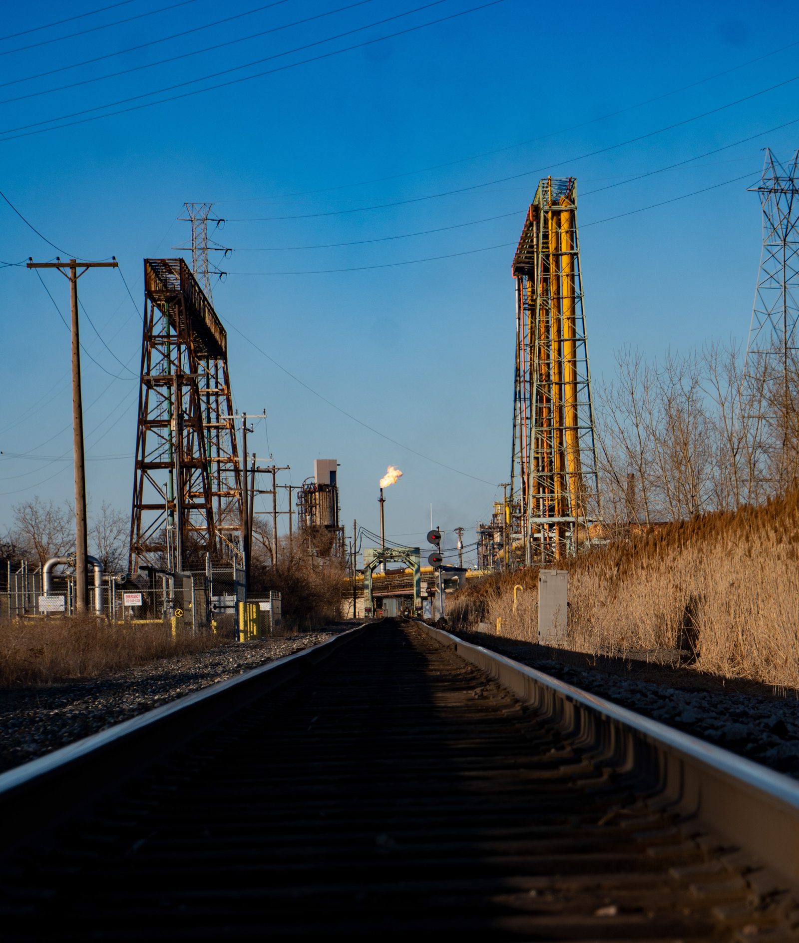
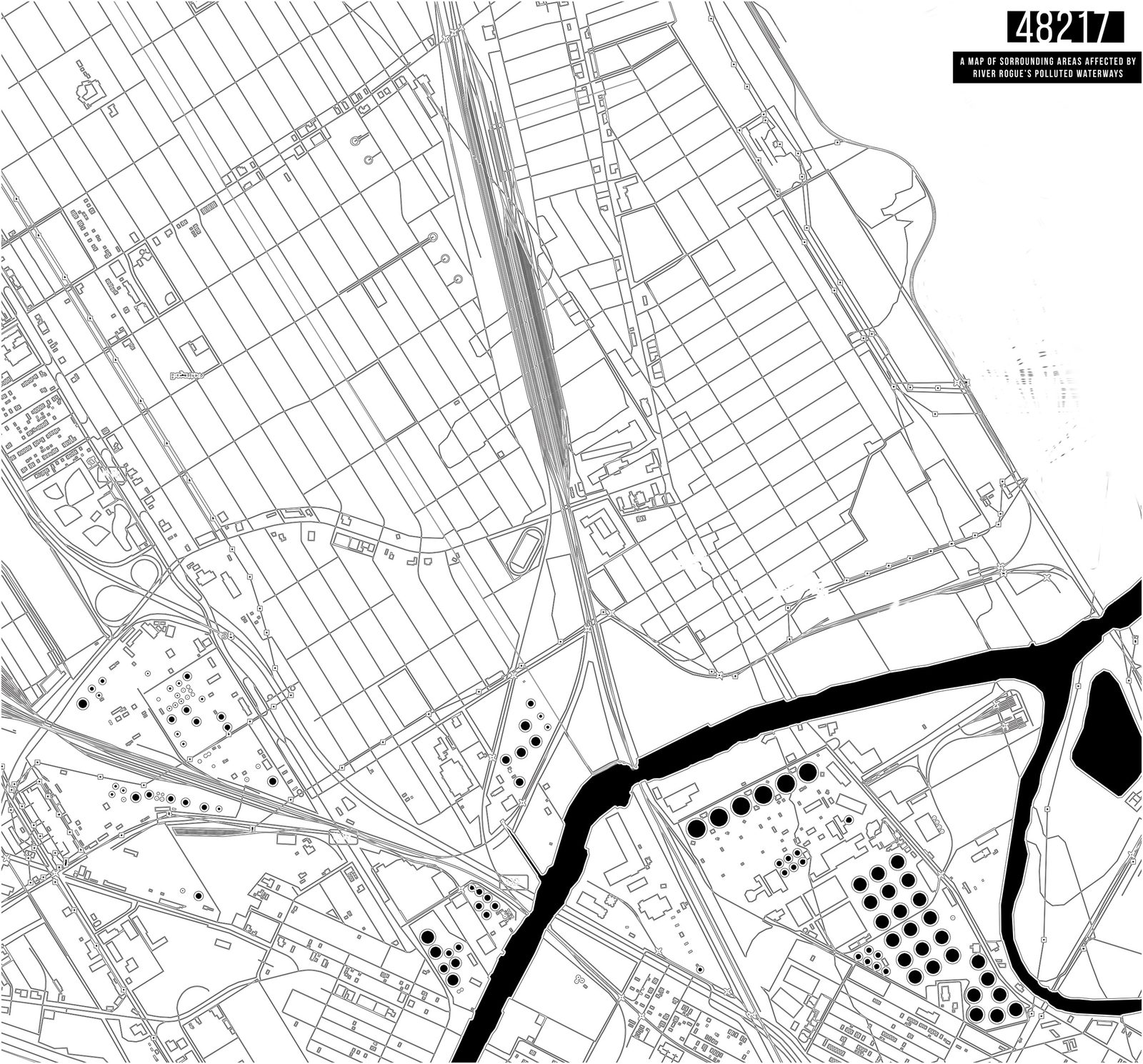
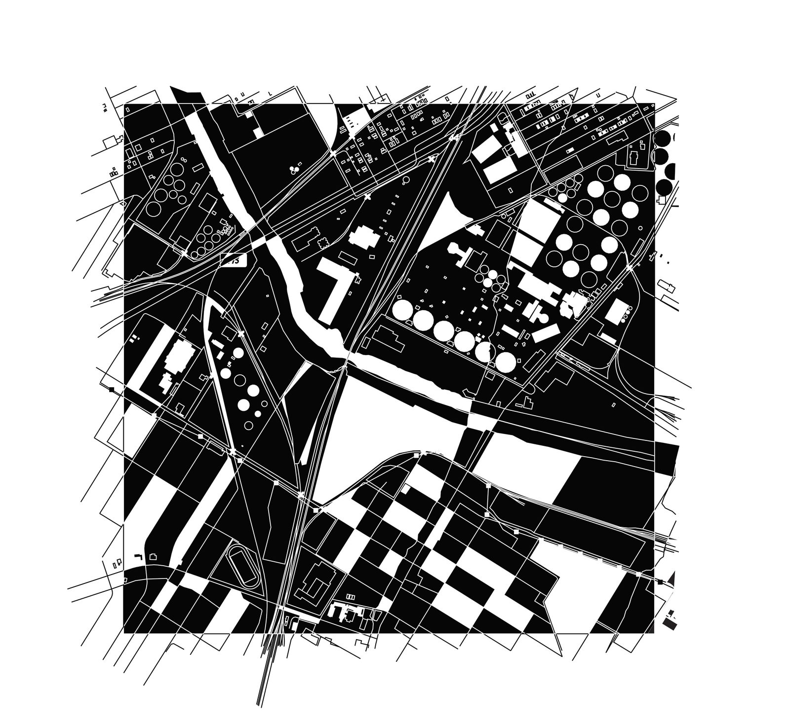
River Rouge is one of the most polluted zip codes in the country (48217) , it sits adjacent to one of the most polluted rivers in the country. One bank of this river is lined with factories and railyards, the other bank is home to a residential area. The map isolates all industrial water containment facilities and rail lines among the houses.
Further reading & map data sources:
https://www.epa.gov/great-lakes-aocs/rouge-river-aoc
https://www.detroitnews.com/story/news/local/wayne-county/2018/05/19/rouge-river-cleanup-efforts/35099307/
https://www.crainsdetroit.com/article/20160610/BLOG012/160619966/rouge-river-displays-mankinds-industrial-might-mistakes-and-new
https://www.epa.gov/great-lakes-aocs/rouge-river-aoc
https://www.detroitnews.com/story/news/local/wayne-county/2018/05/19/rouge-river-cleanup-efforts/35099307/
https://www.crainsdetroit.com/article/20160610/BLOG012/160619966/rouge-river-displays-mankinds-industrial-might-mistakes-and-new
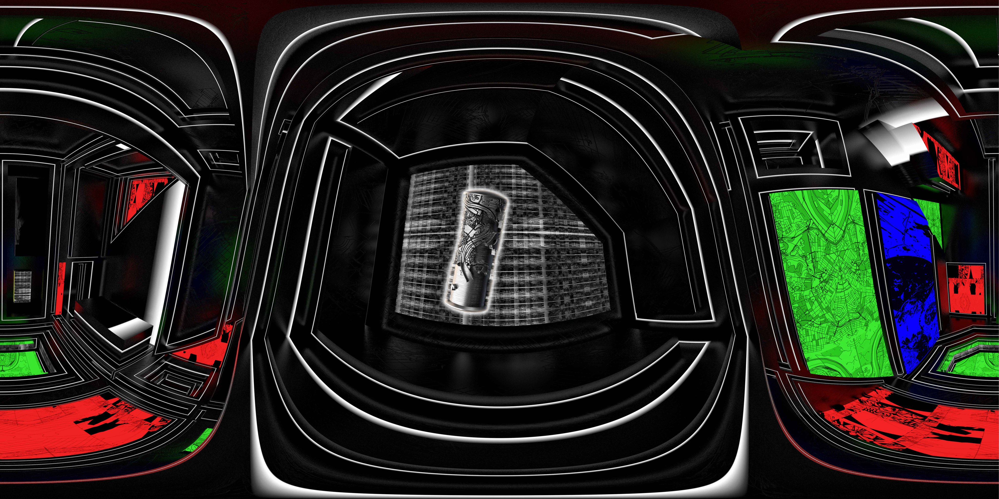
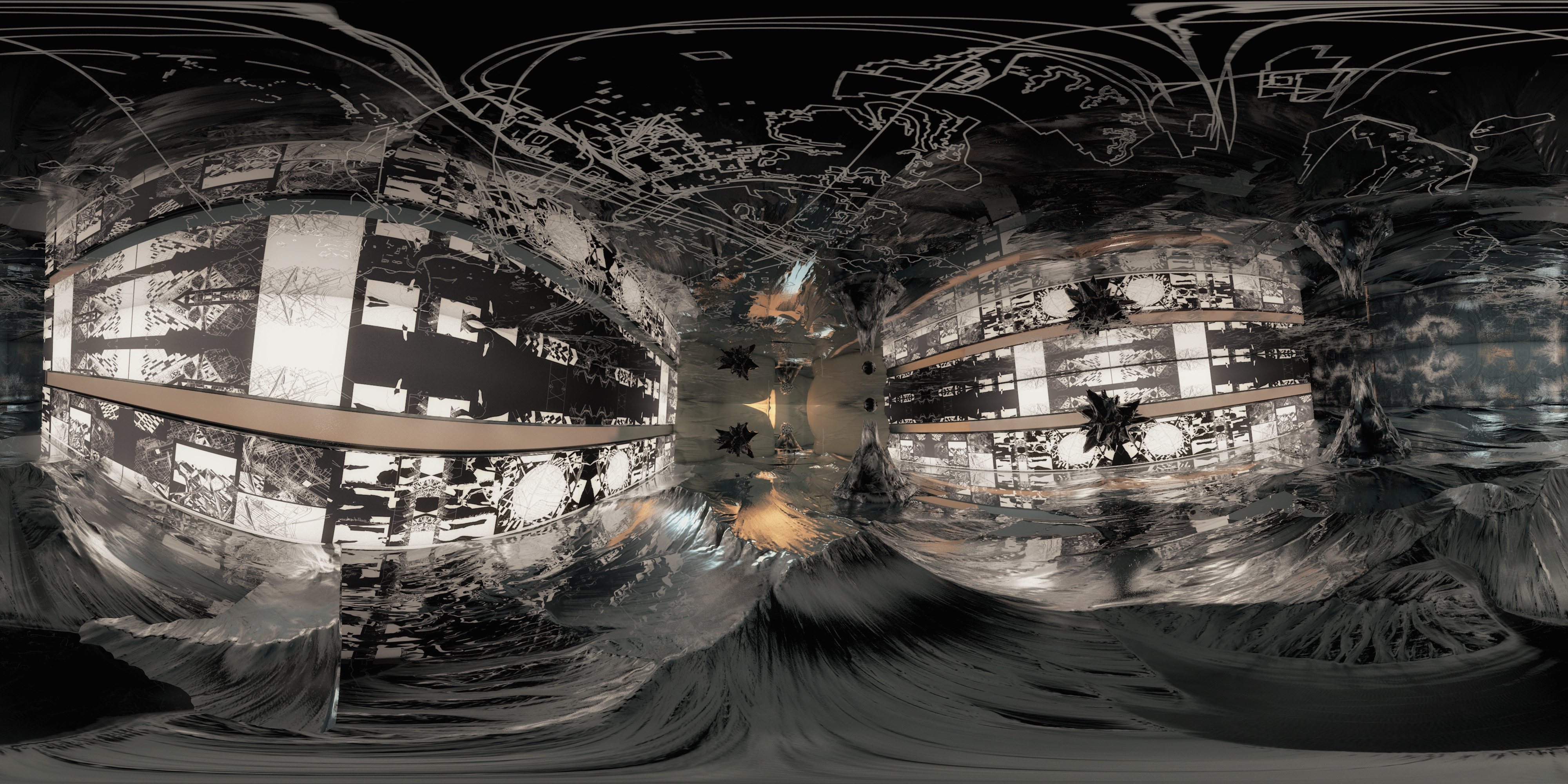
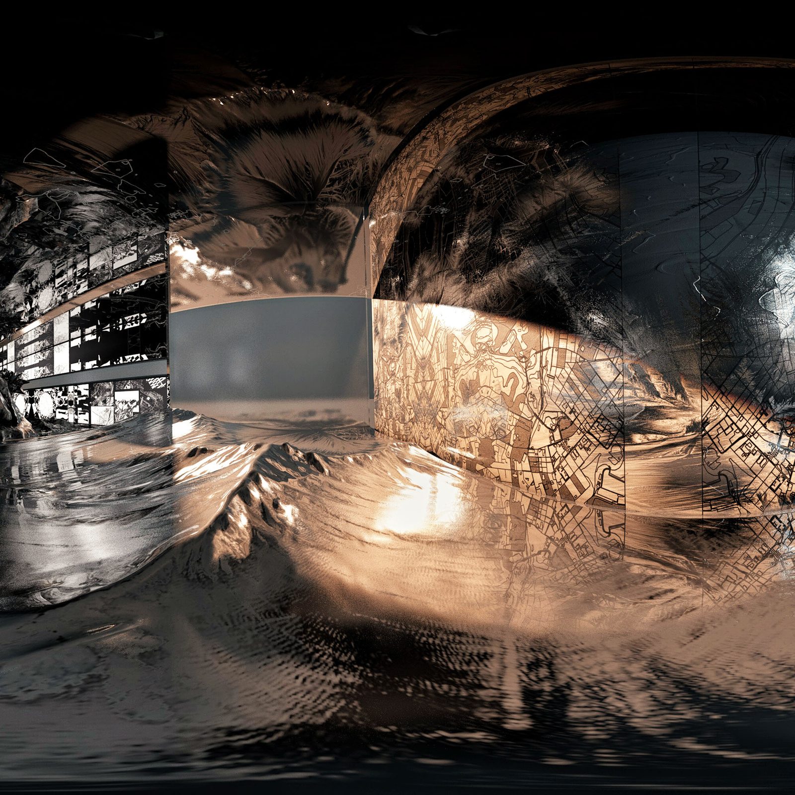
Interactive 360/VR Short
Interactive 360/VR Short
Click + Drag - Look Around
Click + Drag - Look Around
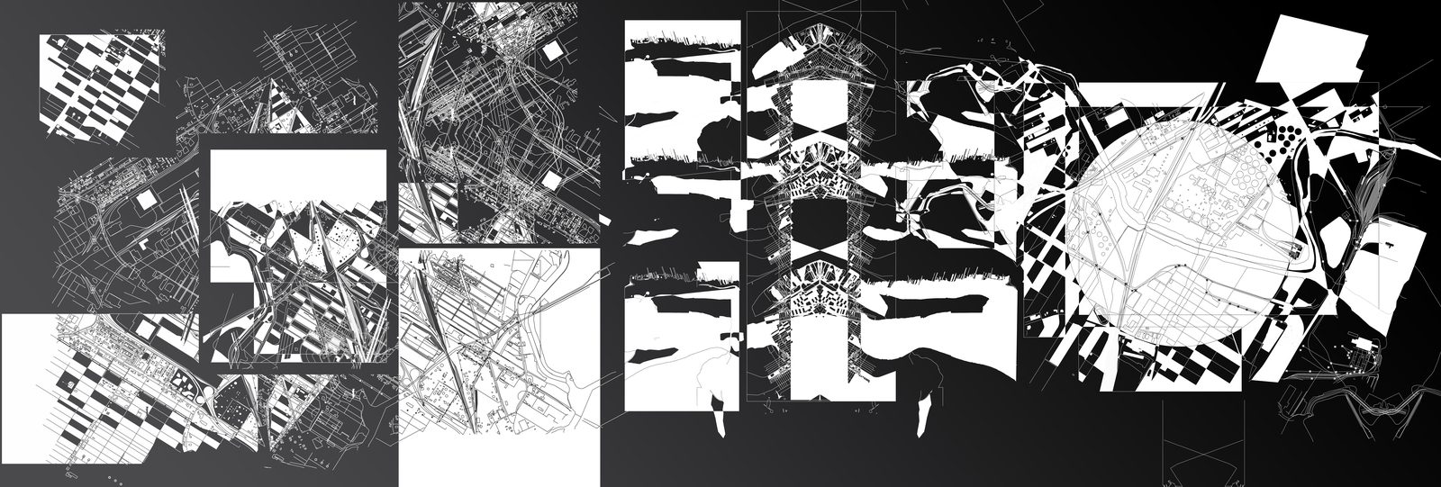
Chicago | South/West Sides
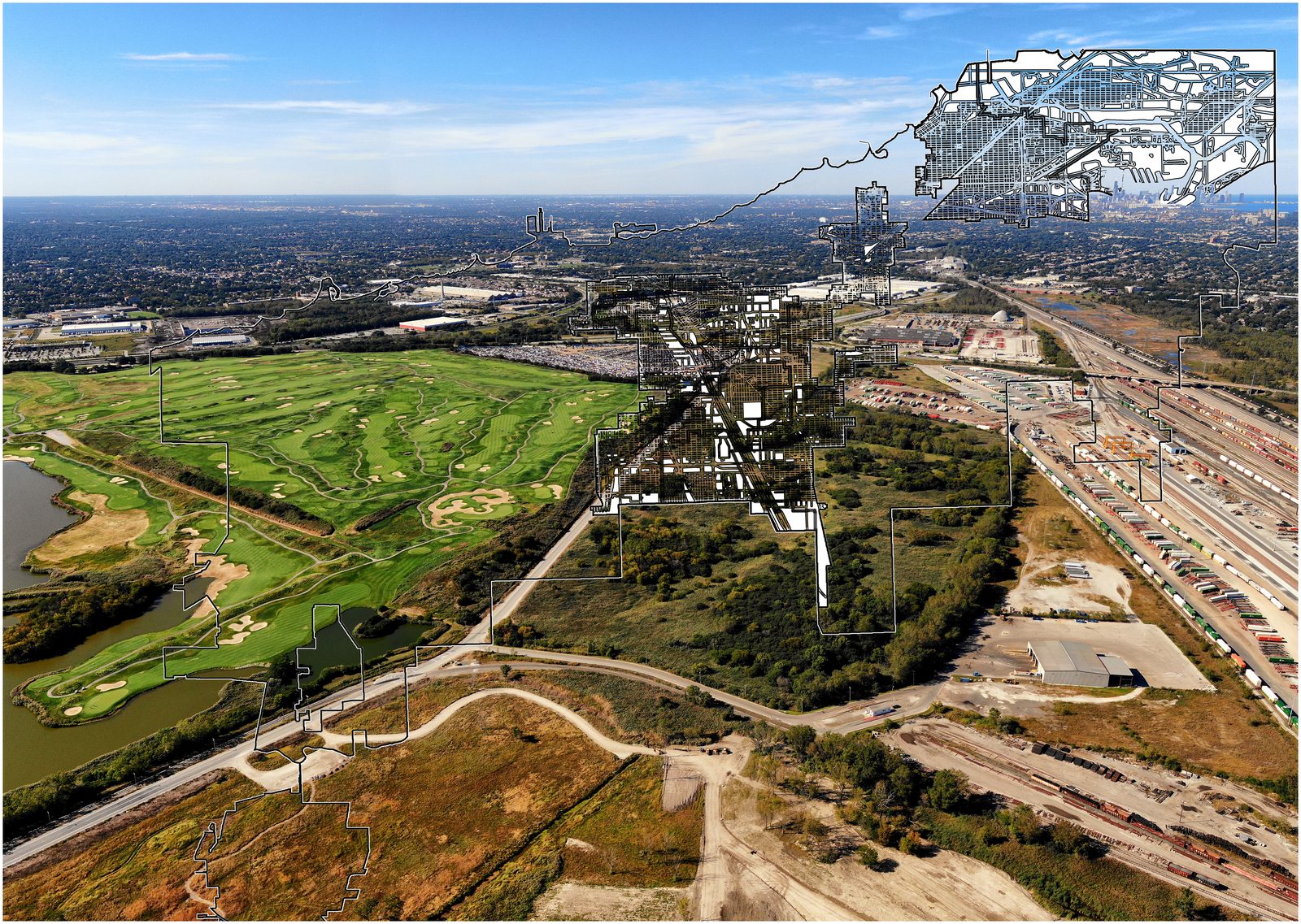
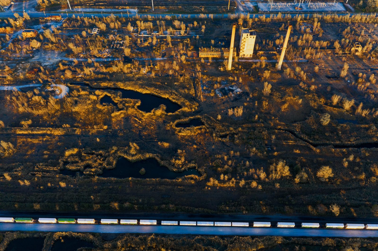
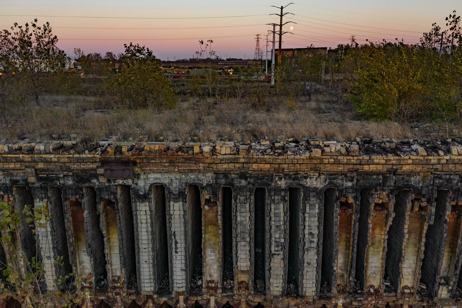
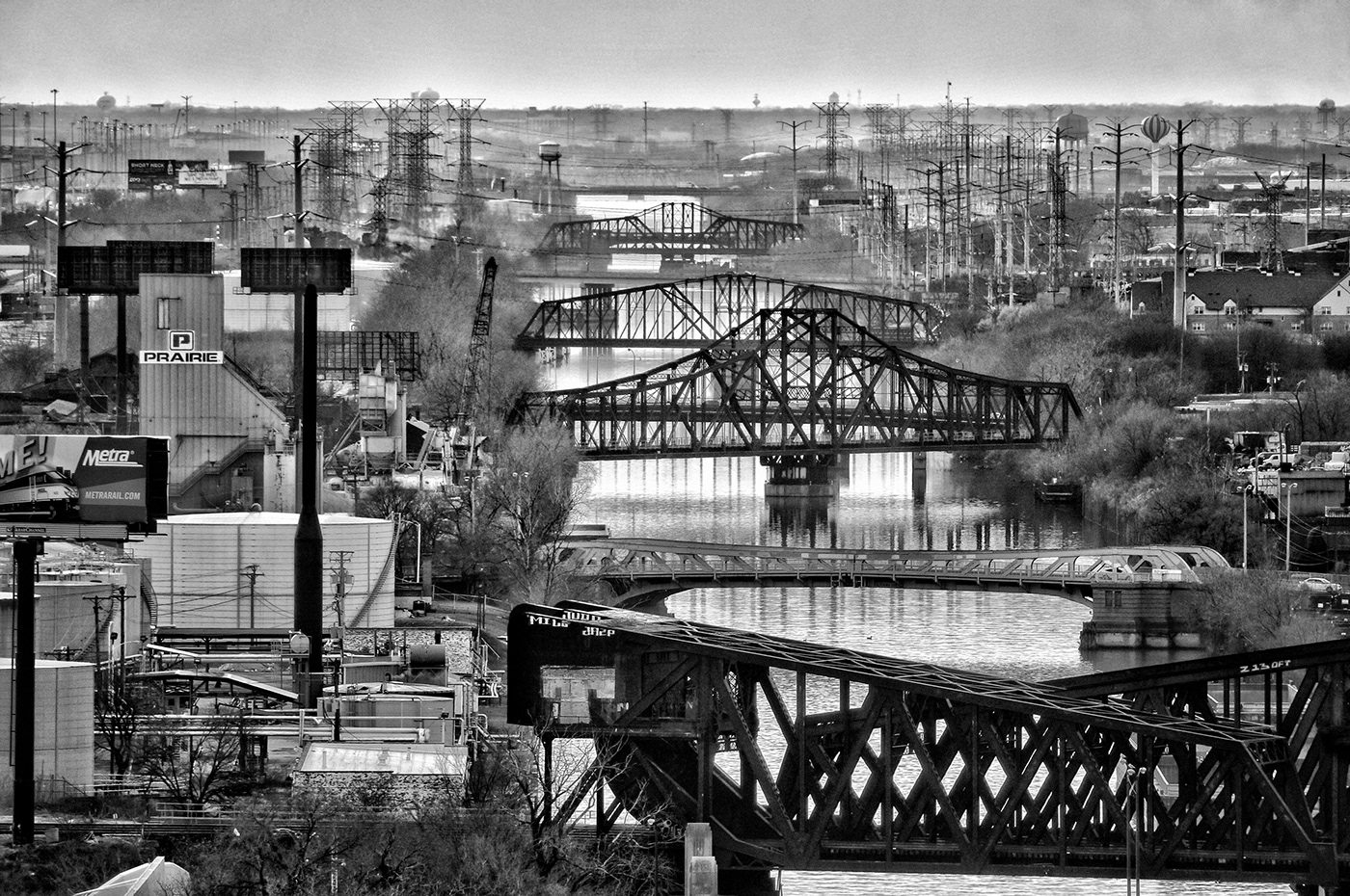
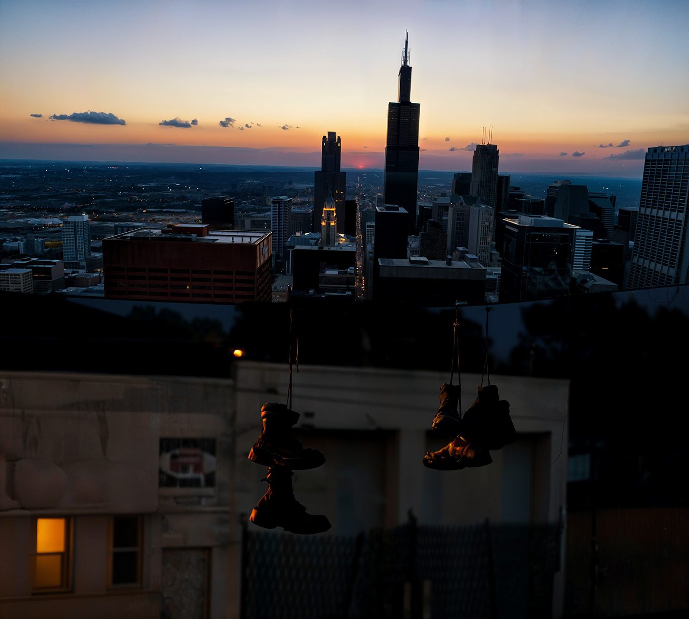
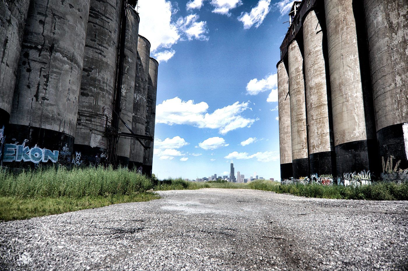
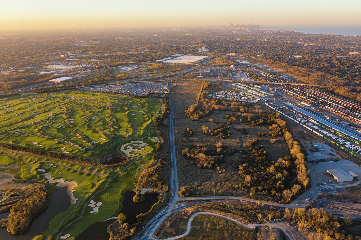
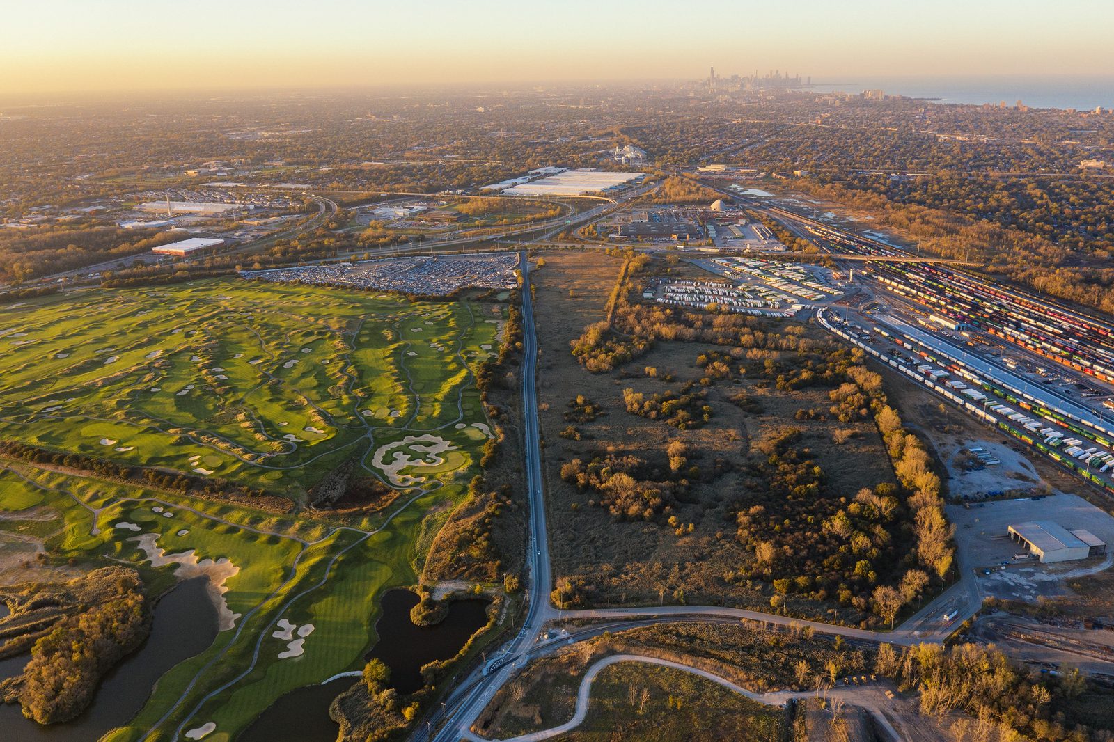
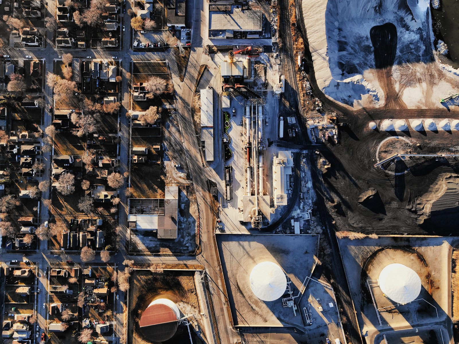
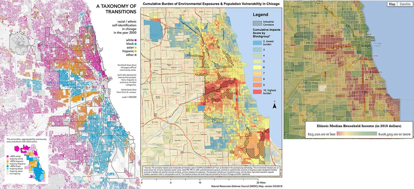
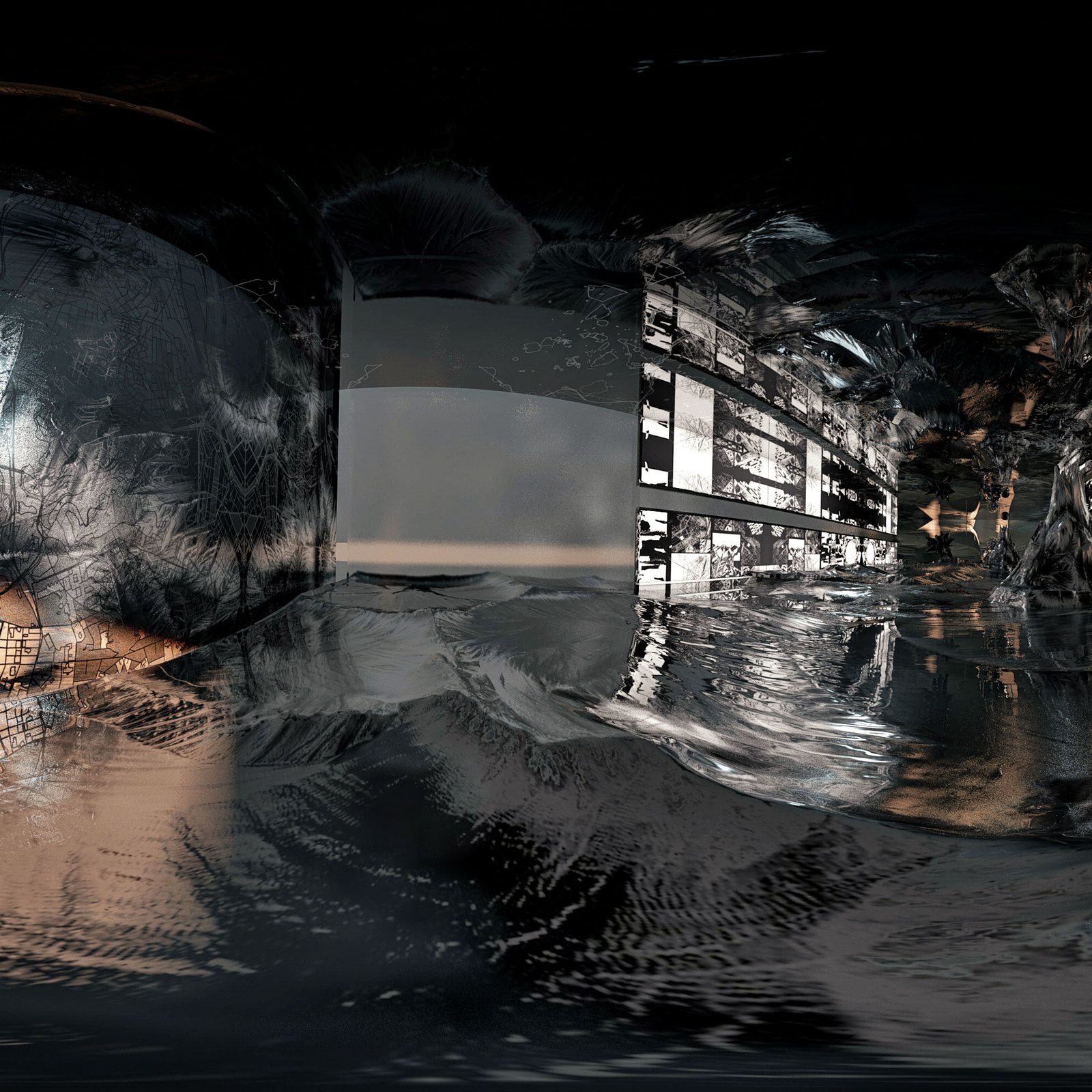
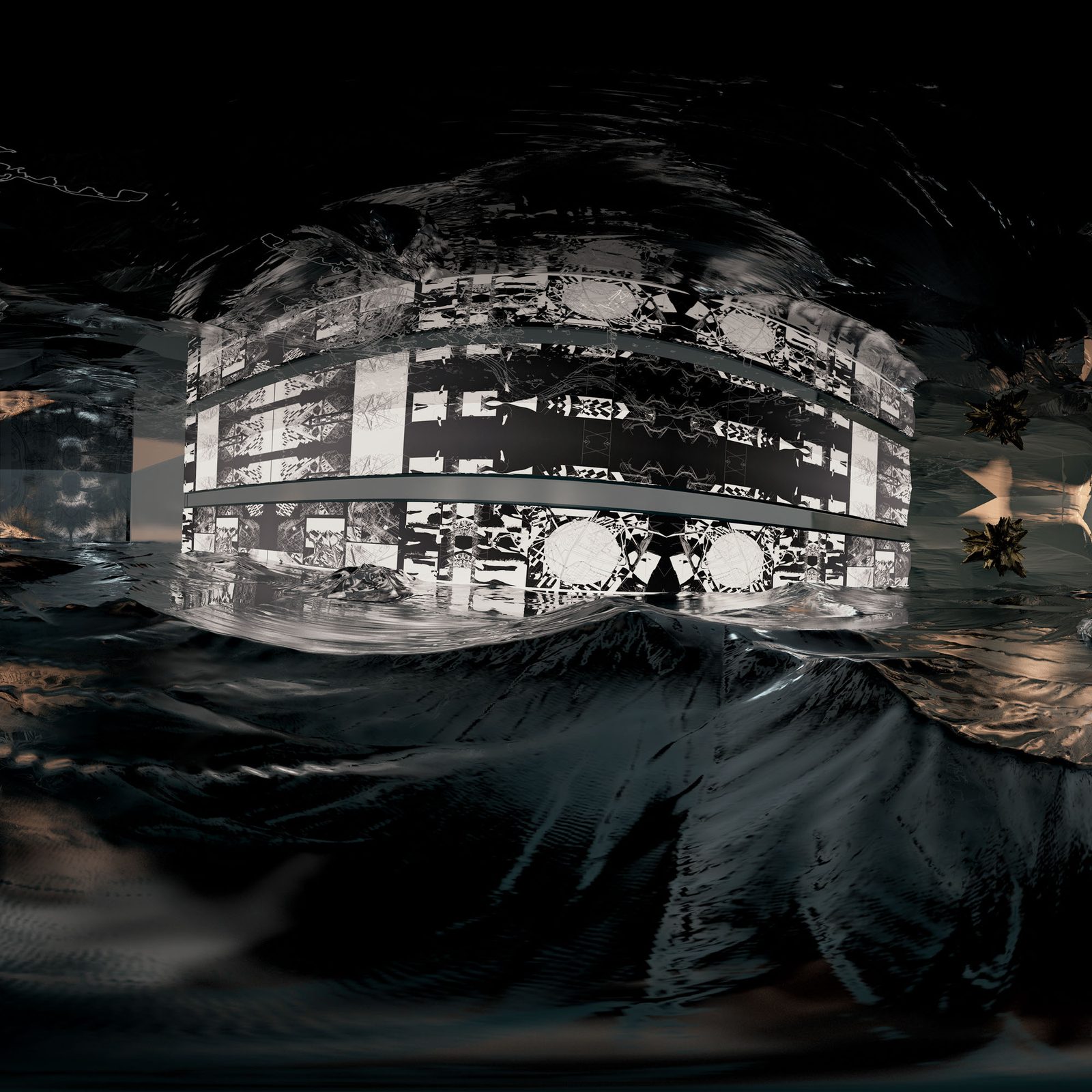
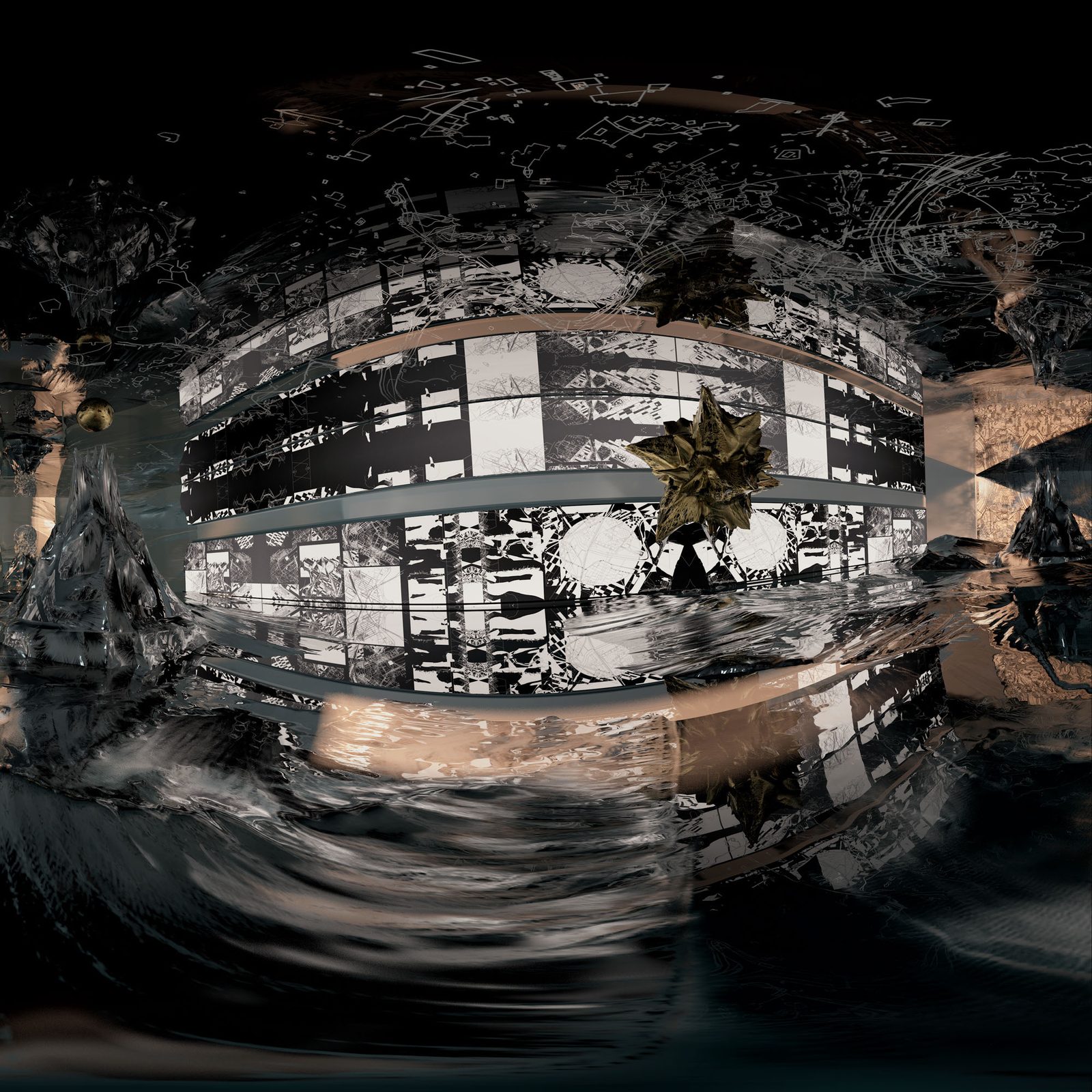
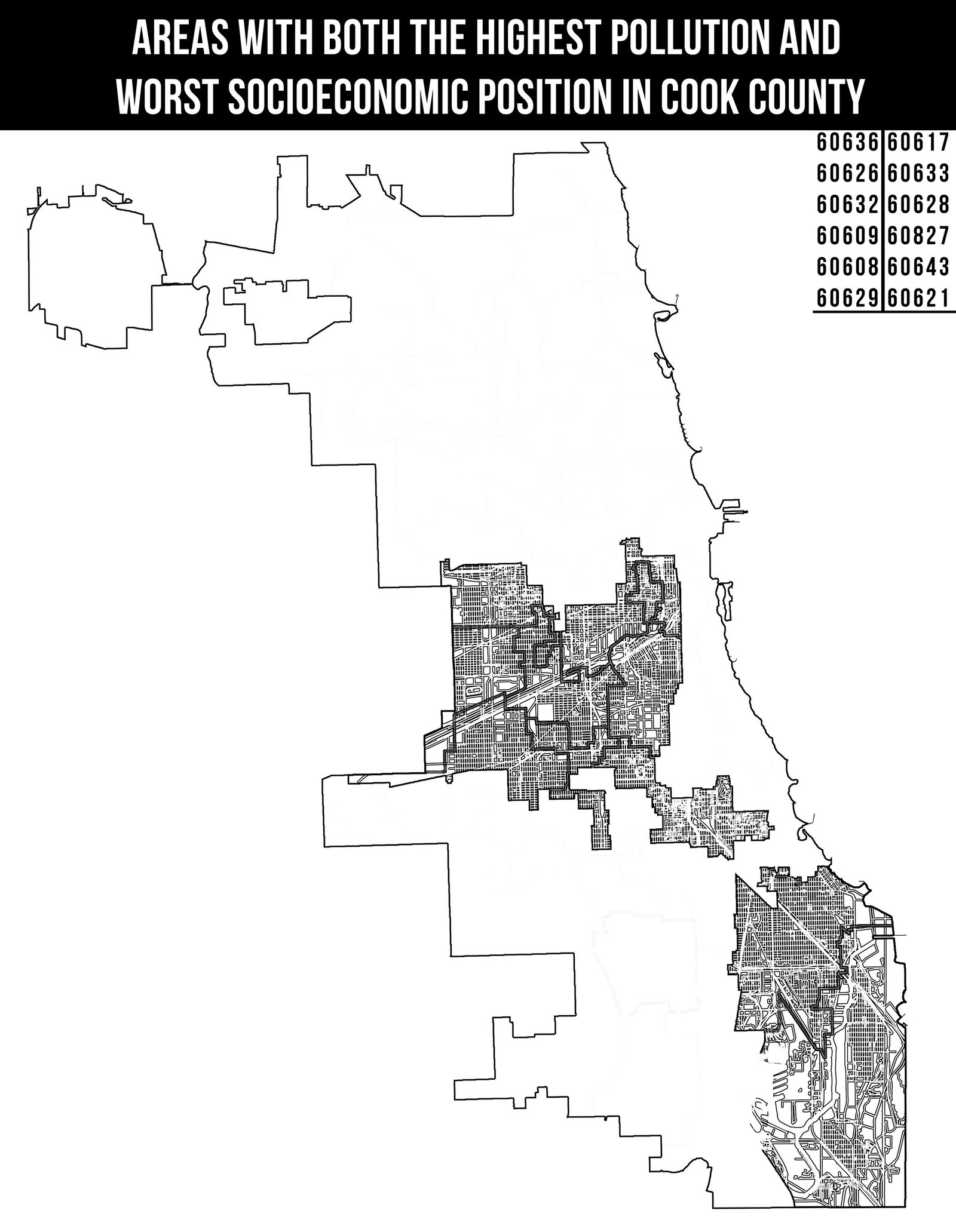
East Chicago/Indiana. The 25 most polluted wards of the city are all located in the city's south and west sides adjacent to communities of color, the map of Cook County pictured highlights these wards over a partially rehabilitated industrial dump site and abandoned steel factory plot, a few blocks from neighboring communities.
In Chicago's far southeast industrial corridor is Big Marsh: Under this site, a cache of toxic materials that could not be removed from the area and was instead buried and capped. This cap is only built to last 100 years and as it begins to leak it joins the rest of the environmental waste degrading the communities of color still anchored around these abandoned sites.
In Chicago's far southeast industrial corridor is Big Marsh: Under this site, a cache of toxic materials that could not be removed from the area and was instead buried and capped. This cap is only built to last 100 years and as it begins to leak it joins the rest of the environmental waste degrading the communities of color still anchored around these abandoned sites.
Further Reading/Sources:
https://www.bettergov.org/news/interactive-map-pollution-hits-chicagos-west-south-sides-hardest/
https://psmag.com/environment/which-chicago-neighborhoods-are-most-at-risk-from-pollution
http://www.radicalcartography.net/index.html?chicagodots
https://www.bettergov.org/news/interactive-map-pollution-hits-chicagos-west-south-sides-hardest/
https://psmag.com/environment/which-chicago-neighborhoods-are-most-at-risk-from-pollution
http://www.radicalcartography.net/index.html?chicagodots
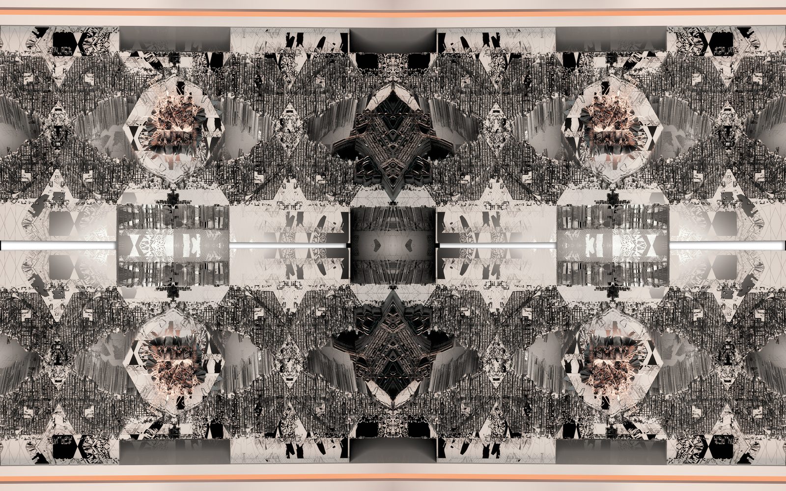
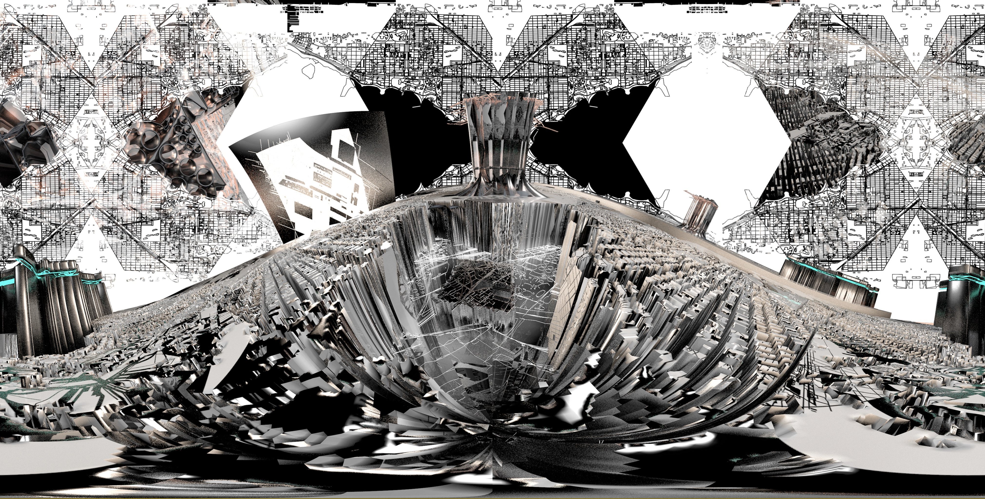
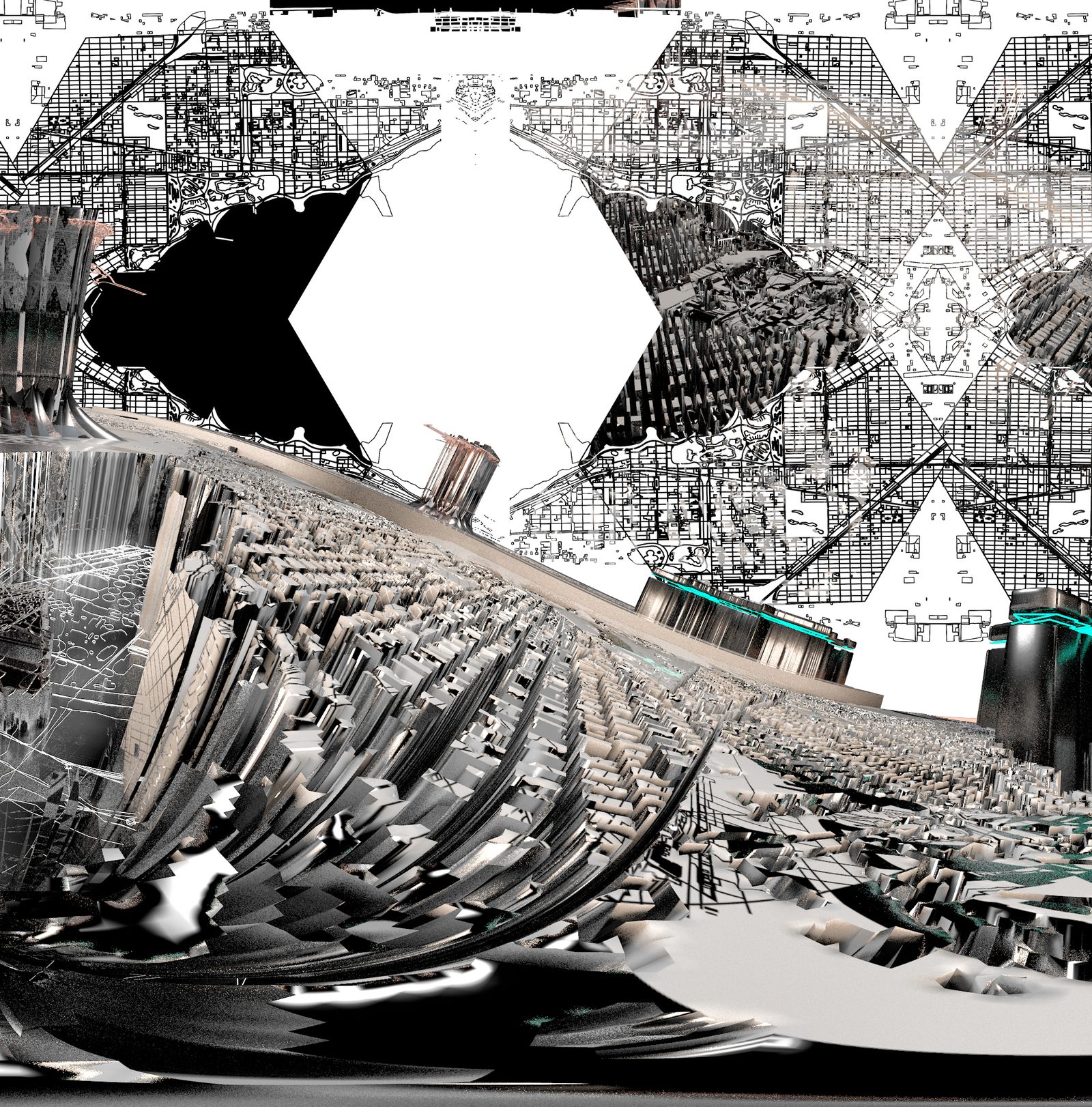
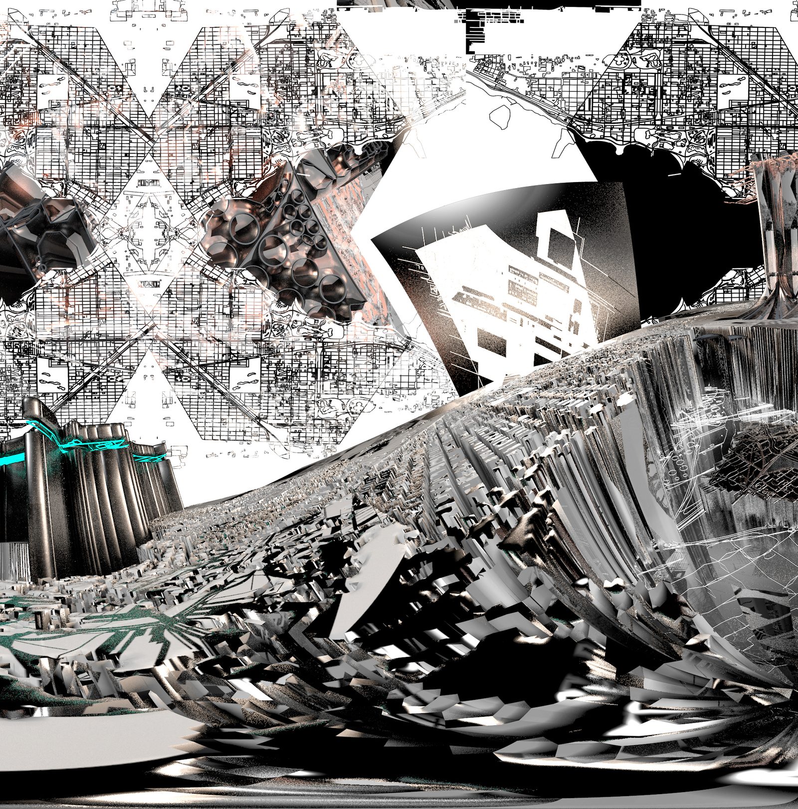
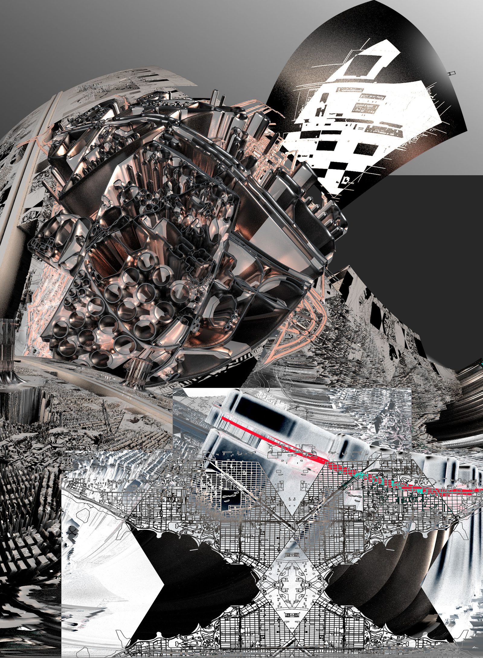
Continuation of New Nature
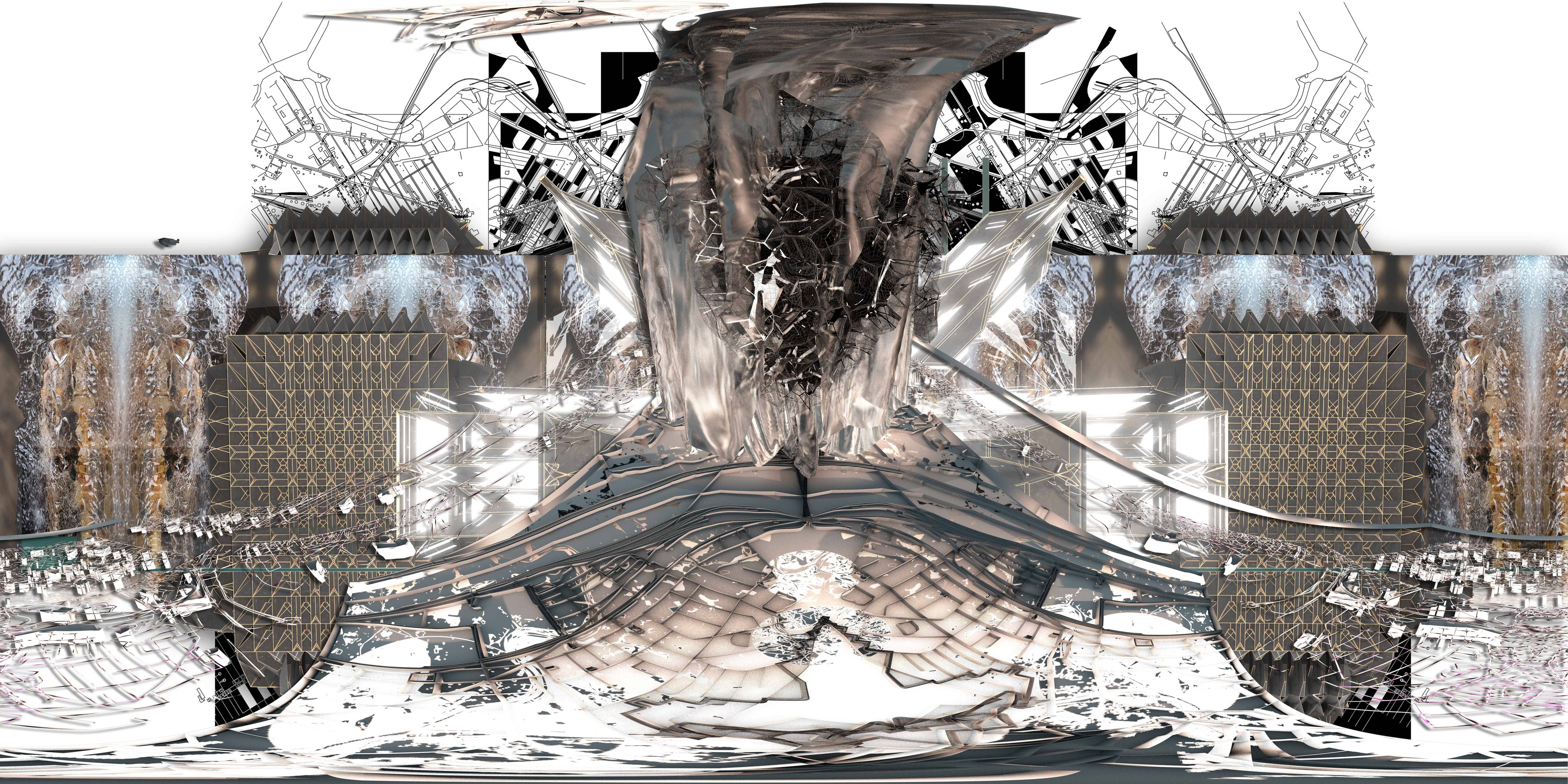
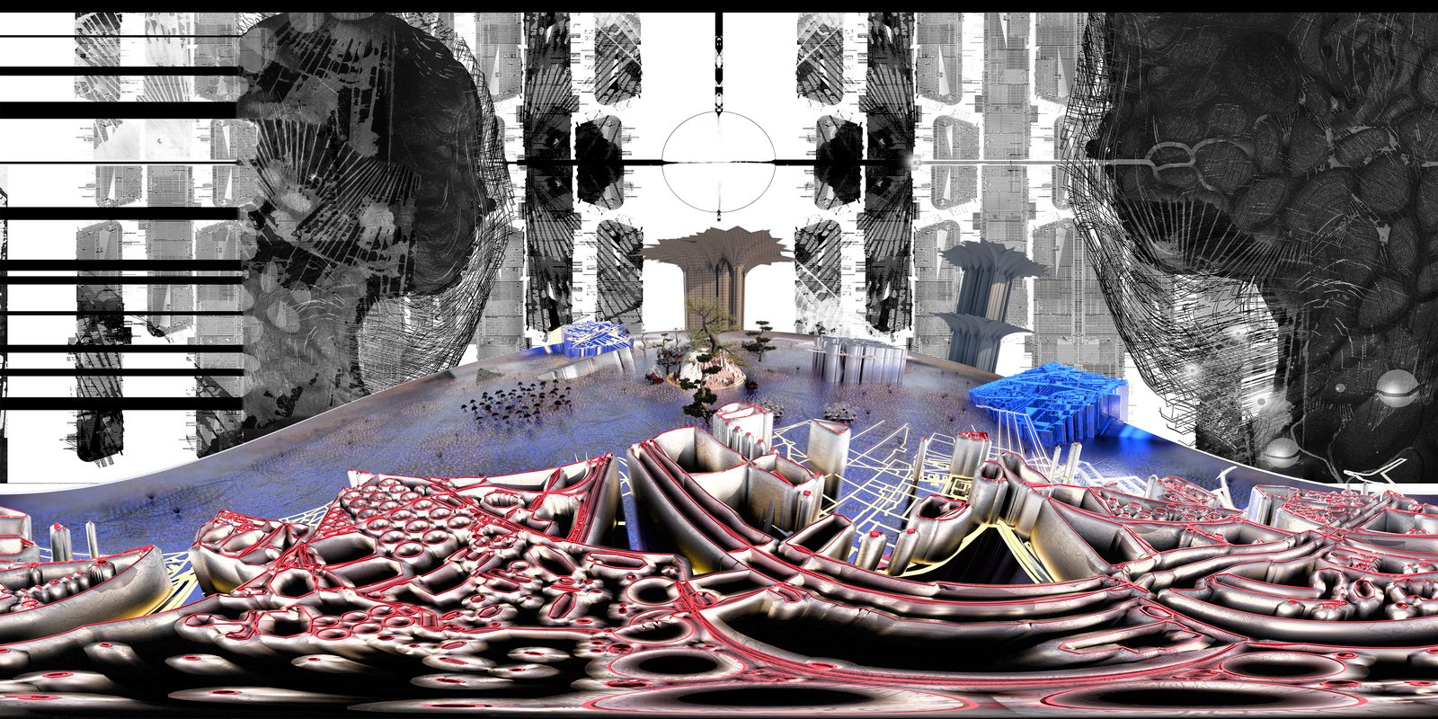
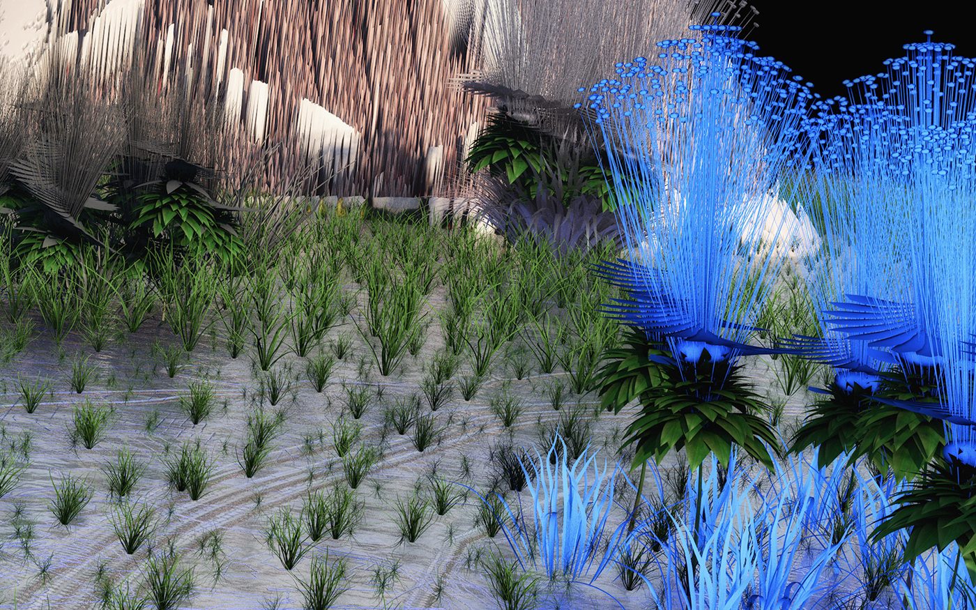
( In Progress: Game/Platform Design Concepts )
UPDATES
Cultural Center/Venue
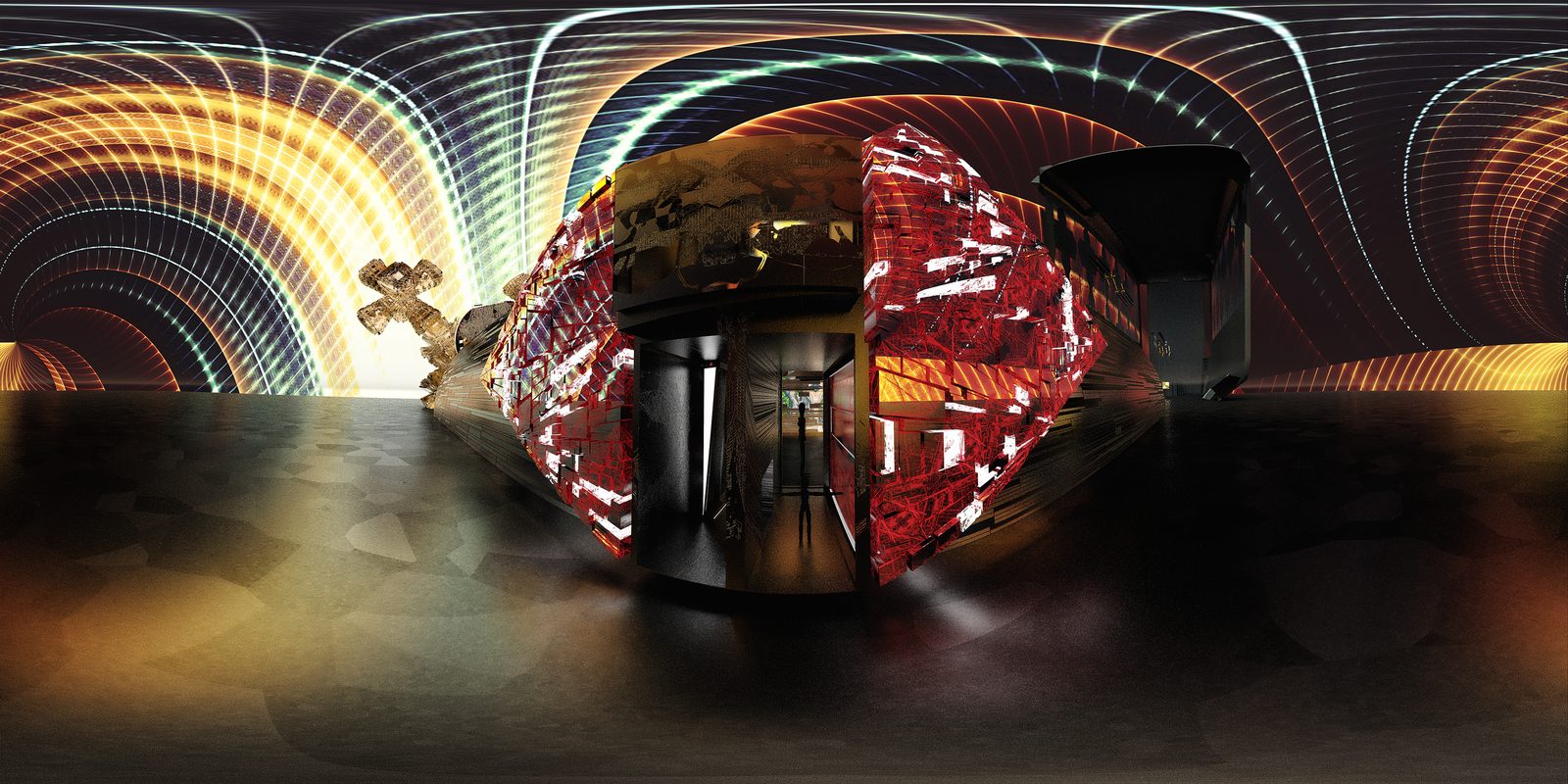
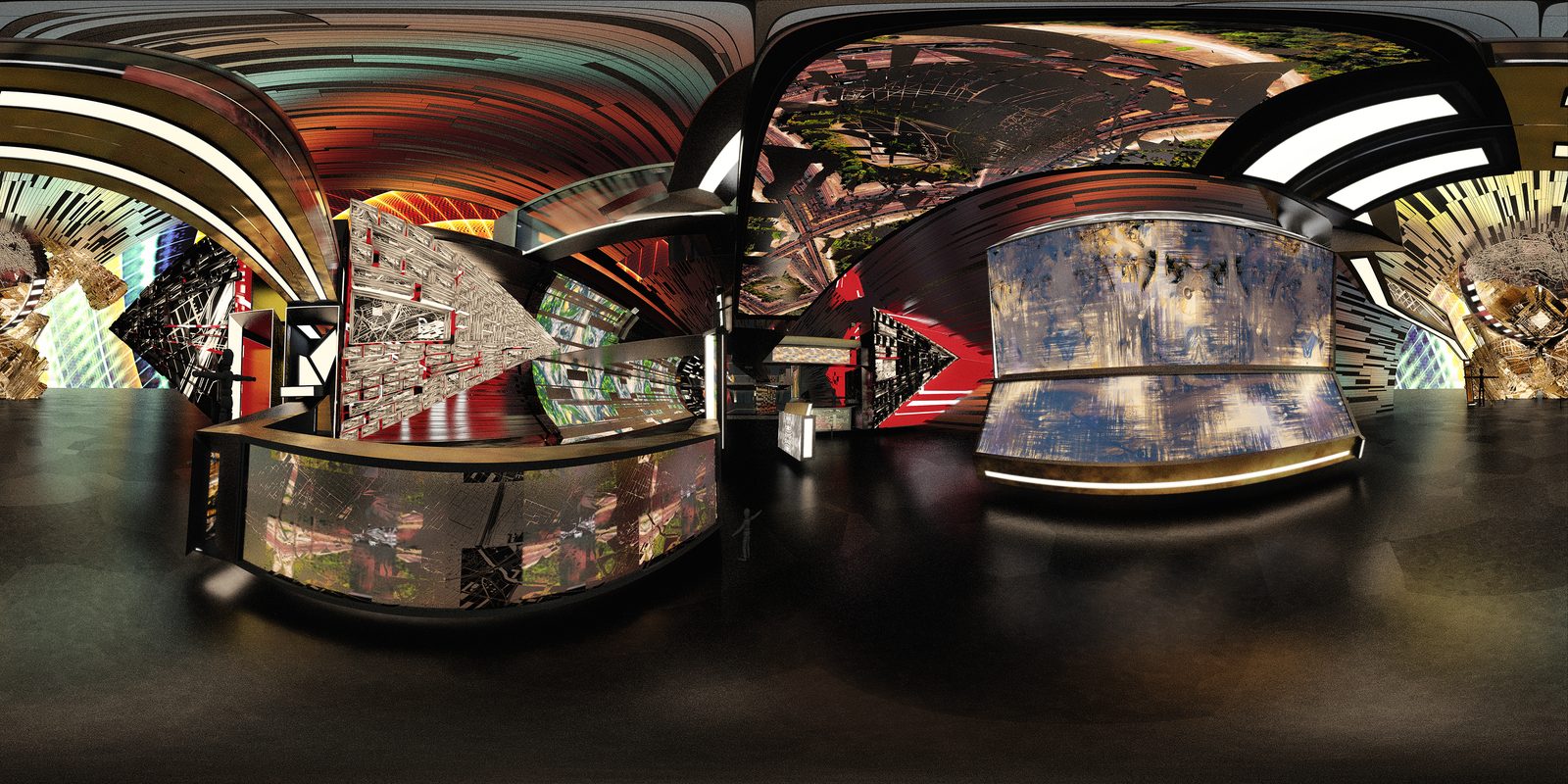
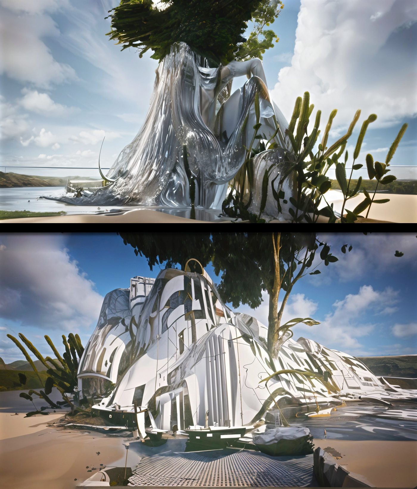
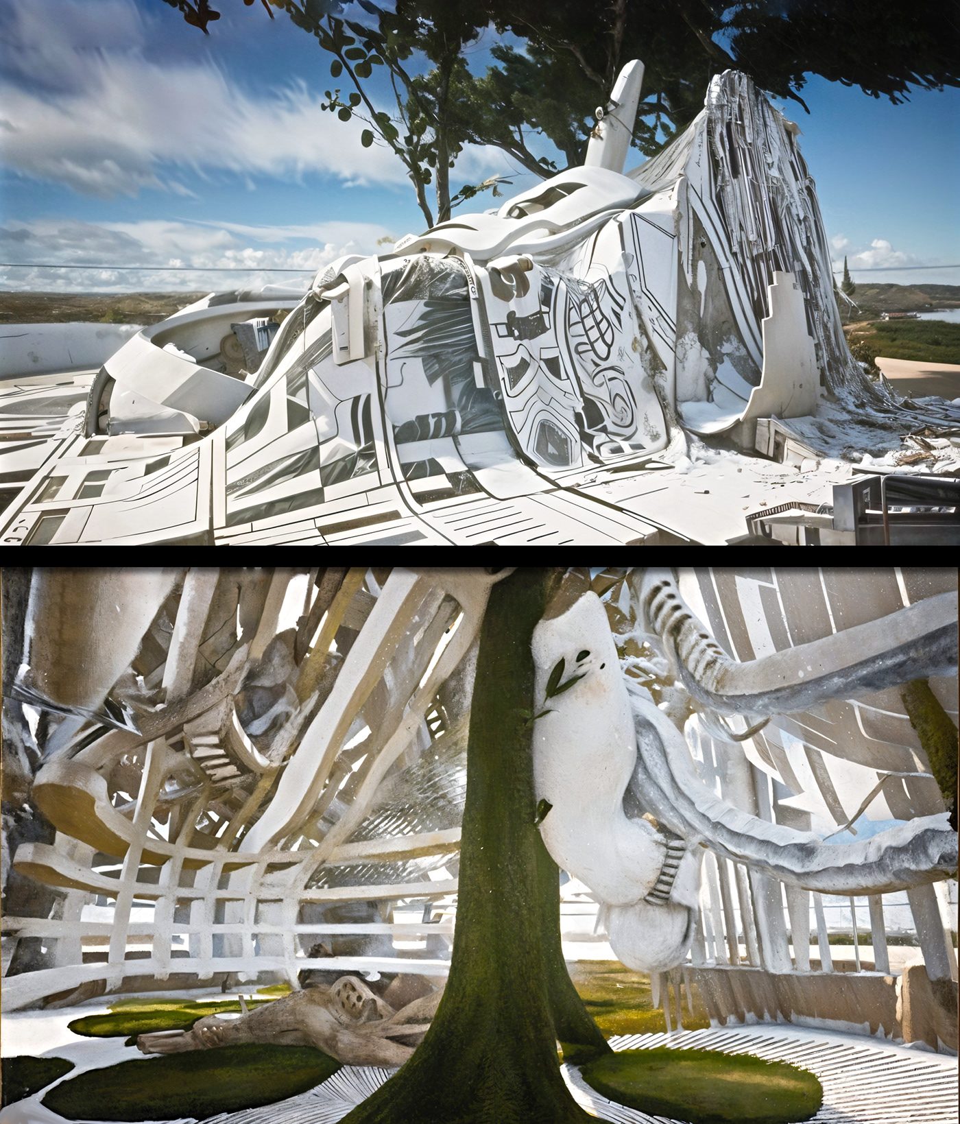
I began to make 3D environments to showcase the Glyphs. These surreal environments were often made of and textured with the glyphs. While building them It felt as though I were exploring them as I would the abandoned sites they were based on. I want to bring this exploration to others as I would often bring my friends to abandoned industrial sites, a guided tour of sorts. The first variation of this new guided exploration was a VR/360 animation flying through these 3D scenes. I wanted the viewer to have more freedom to explore though, more space within these environments to learn about the real circumstances of the communities in the familiar symbols they were looking at.
To do this I have been expanding the animated scenes into fully interactive virtual worlds that will serve as levels in a Virtual Experience. The plot of the game will be based in a virtual venue, a cultural center from which players can explore exhibitions presenting the data visualizations and footage before transporting the players into the 3d environments that grew from them. The architecture of the game will be open ended so as to allow for me to continue adding levels to explore and virtual exhibitions to present the reality they reflect.
To do this I have been expanding the animated scenes into fully interactive virtual worlds that will serve as levels in a Virtual Experience. The plot of the game will be based in a virtual venue, a cultural center from which players can explore exhibitions presenting the data visualizations and footage before transporting the players into the 3d environments that grew from them. The architecture of the game will be open ended so as to allow for me to continue adding levels to explore and virtual exhibitions to present the reality they reflect.
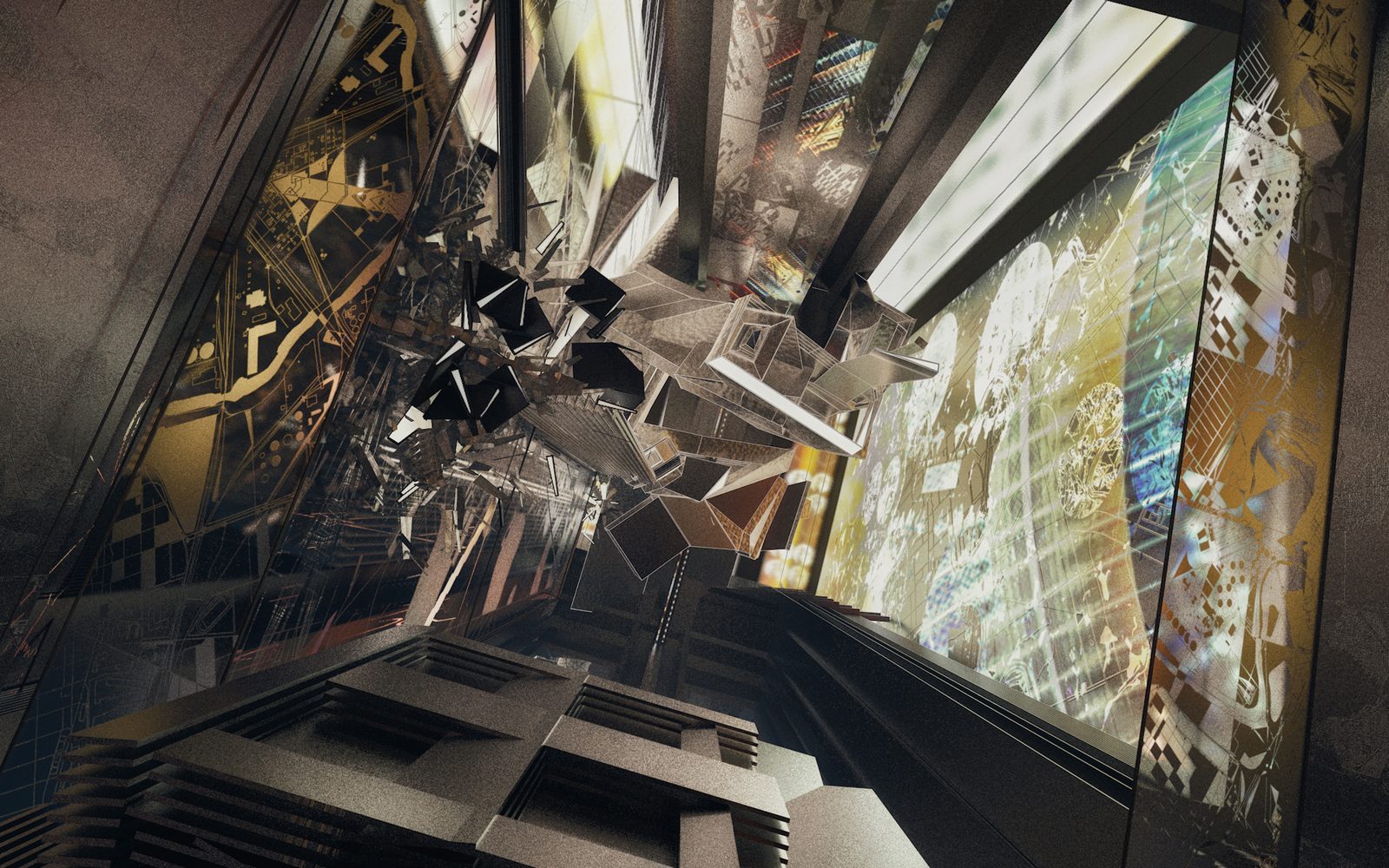
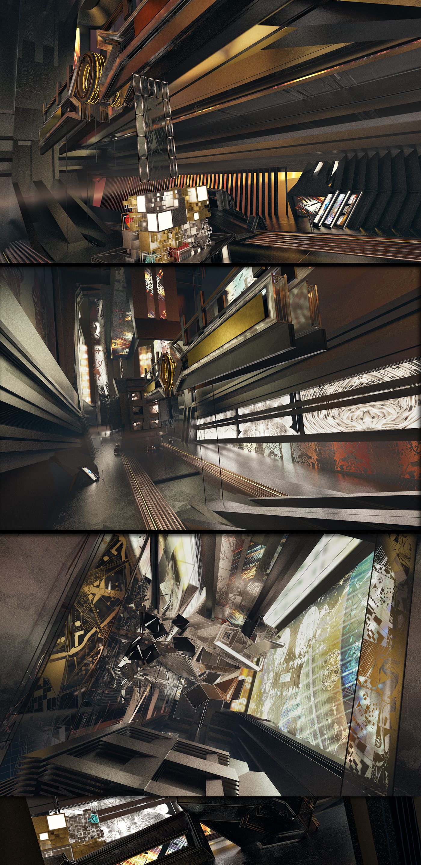
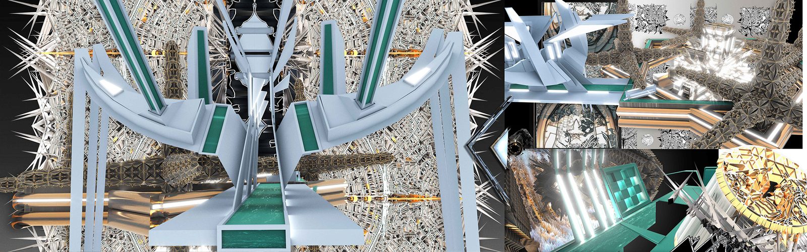
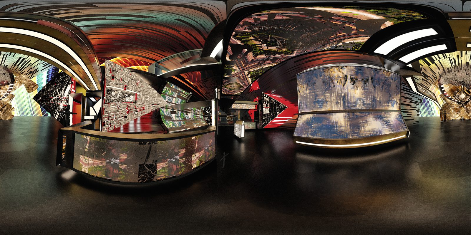
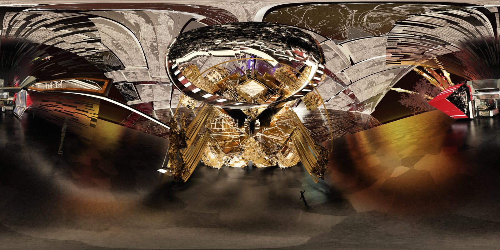
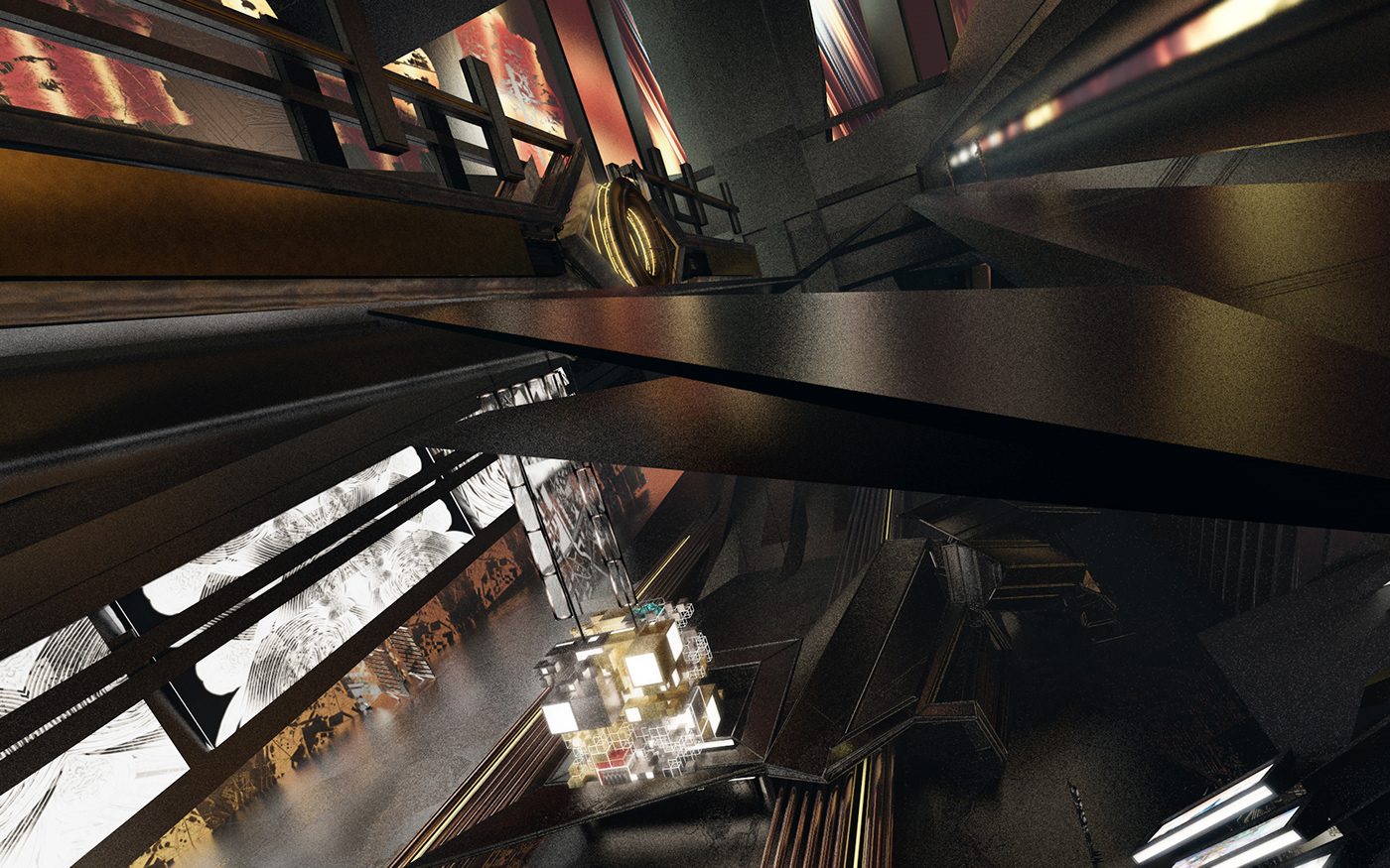
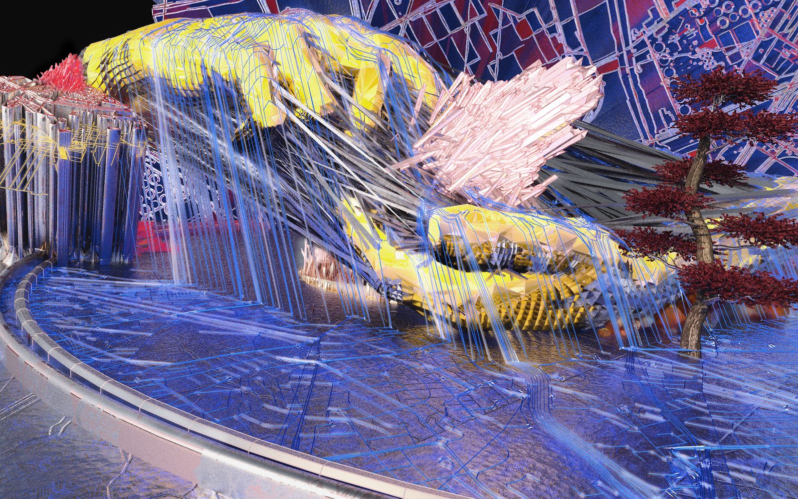
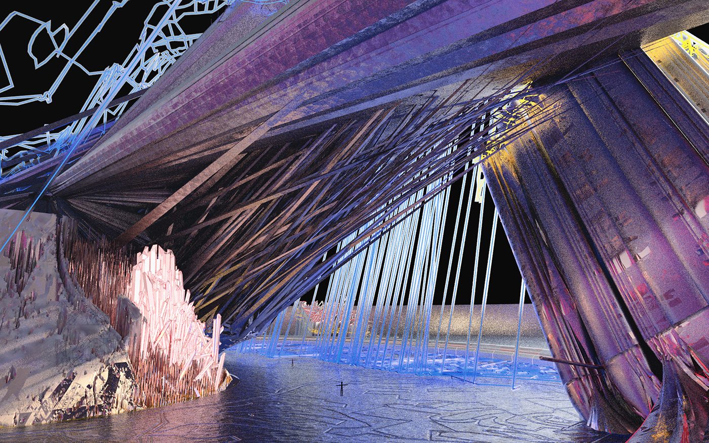
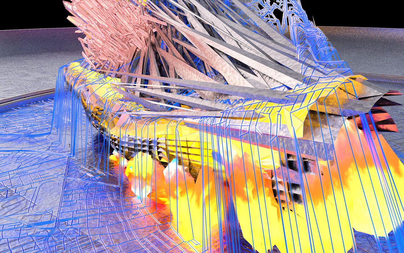
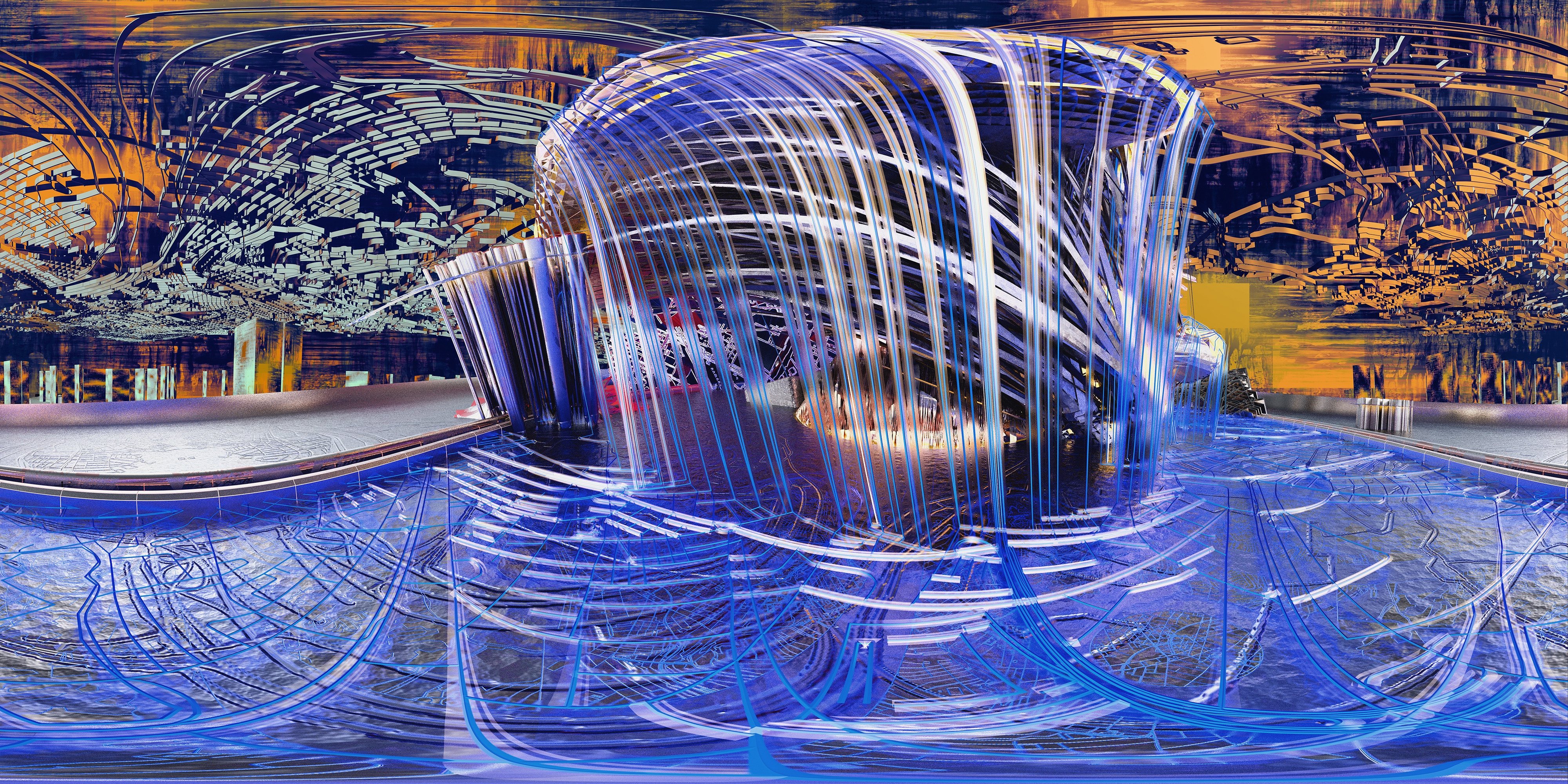
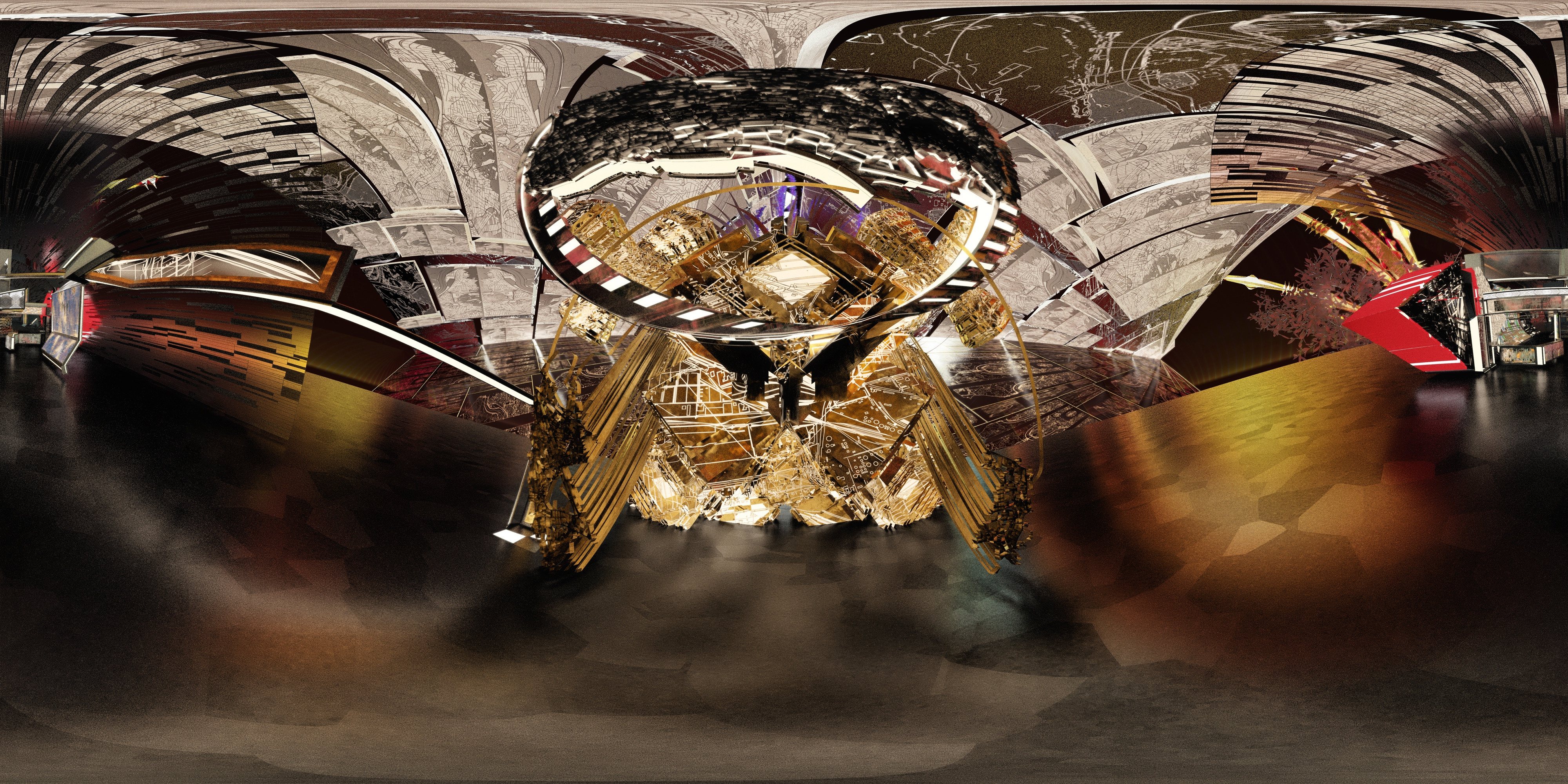
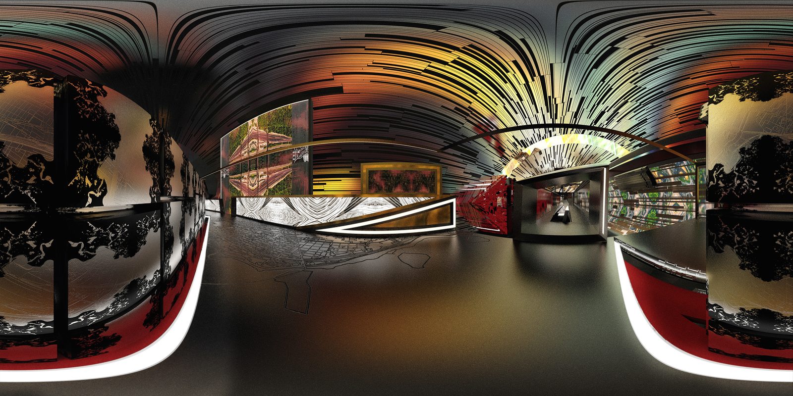
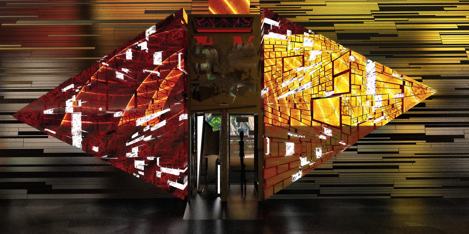
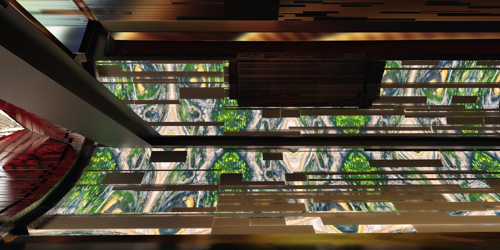
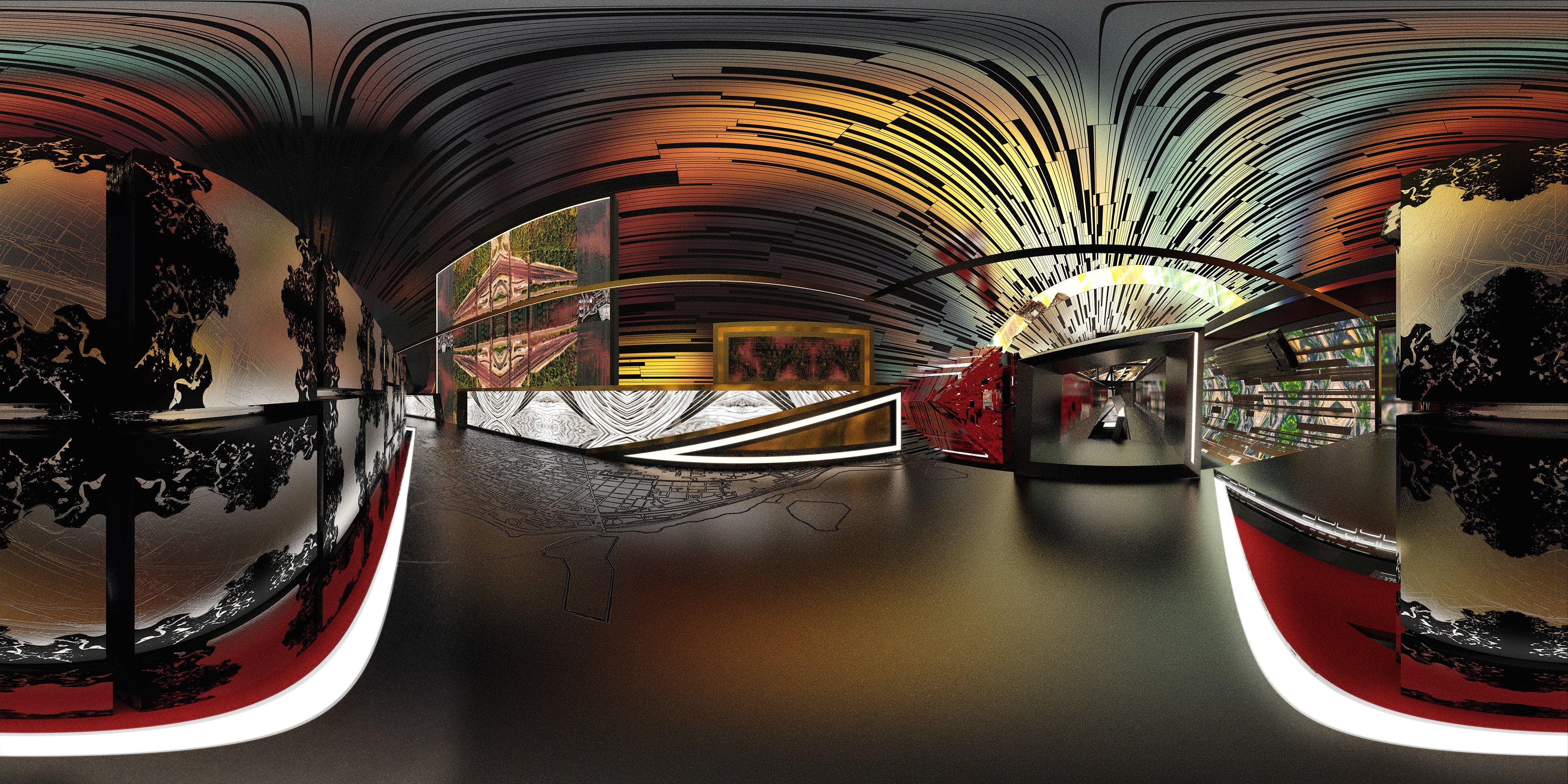
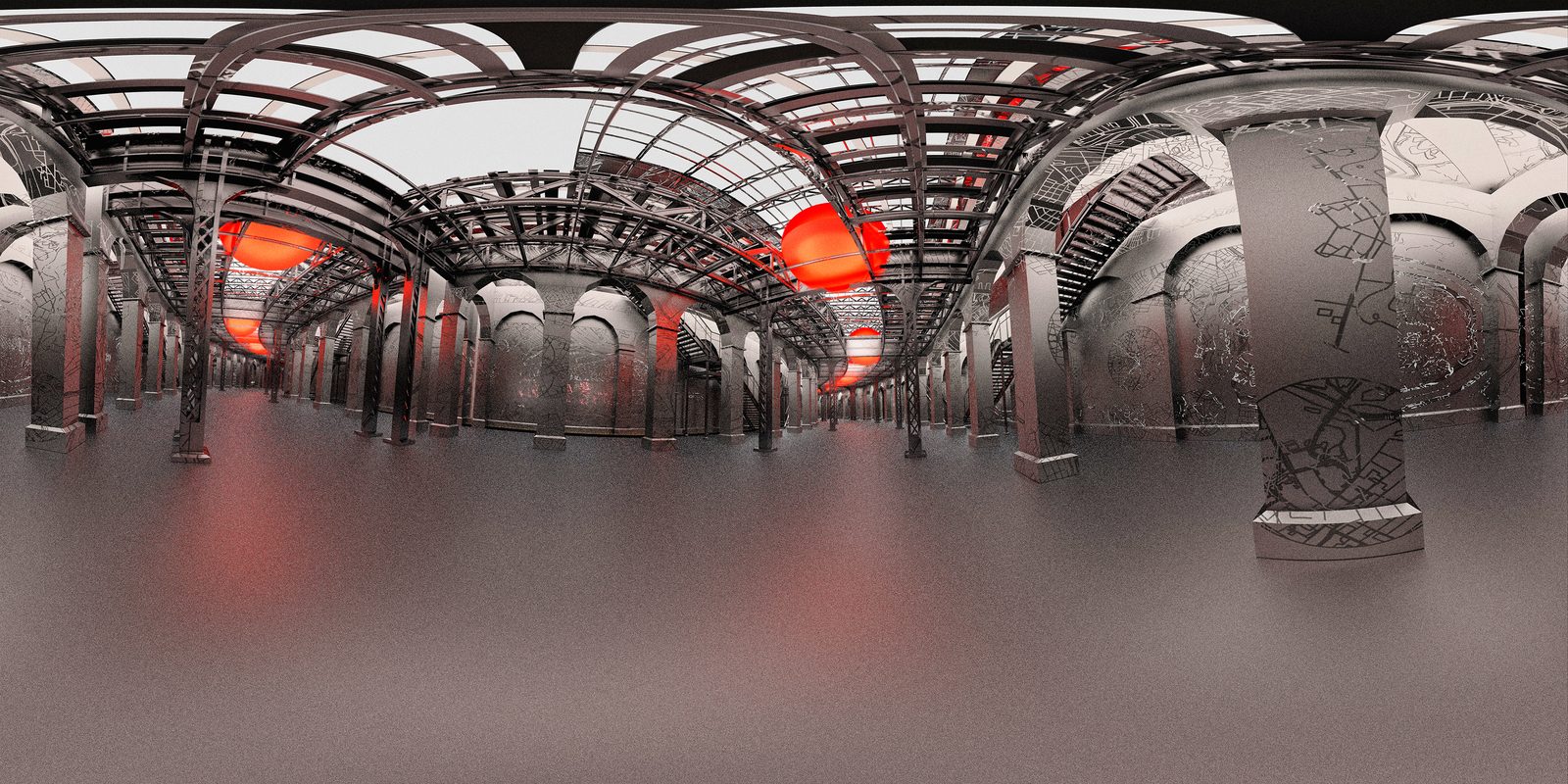
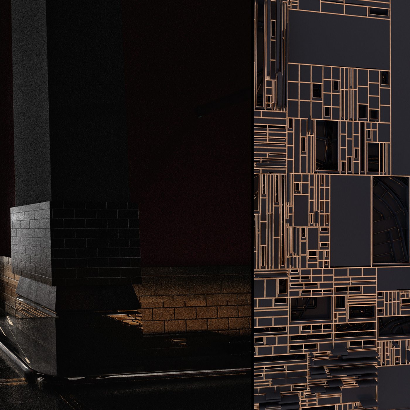
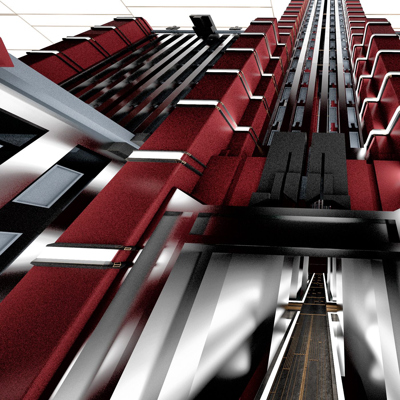
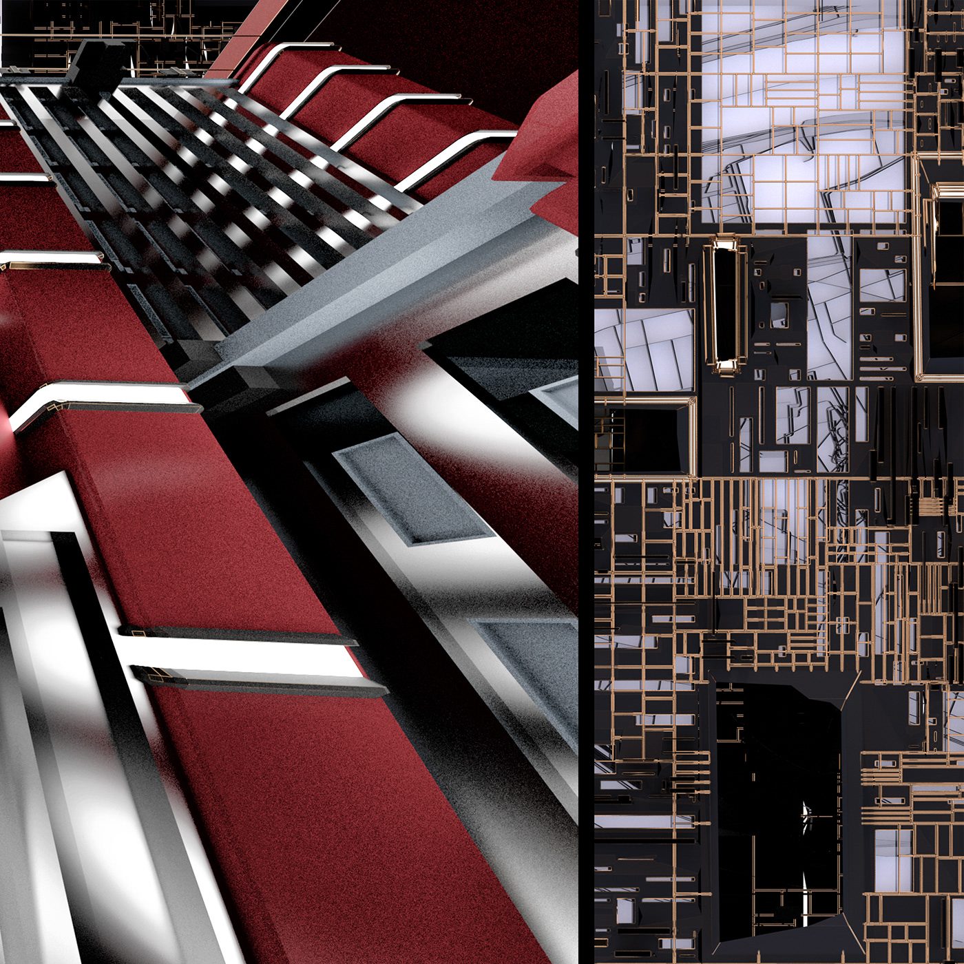
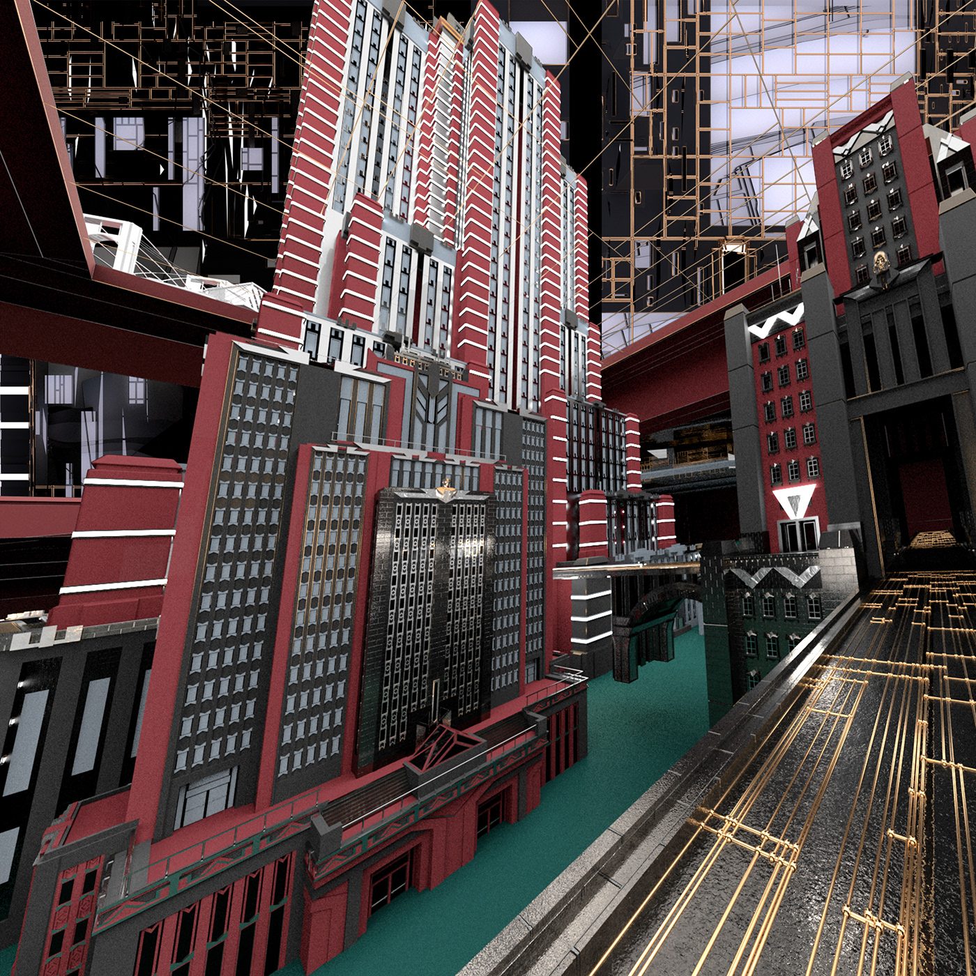
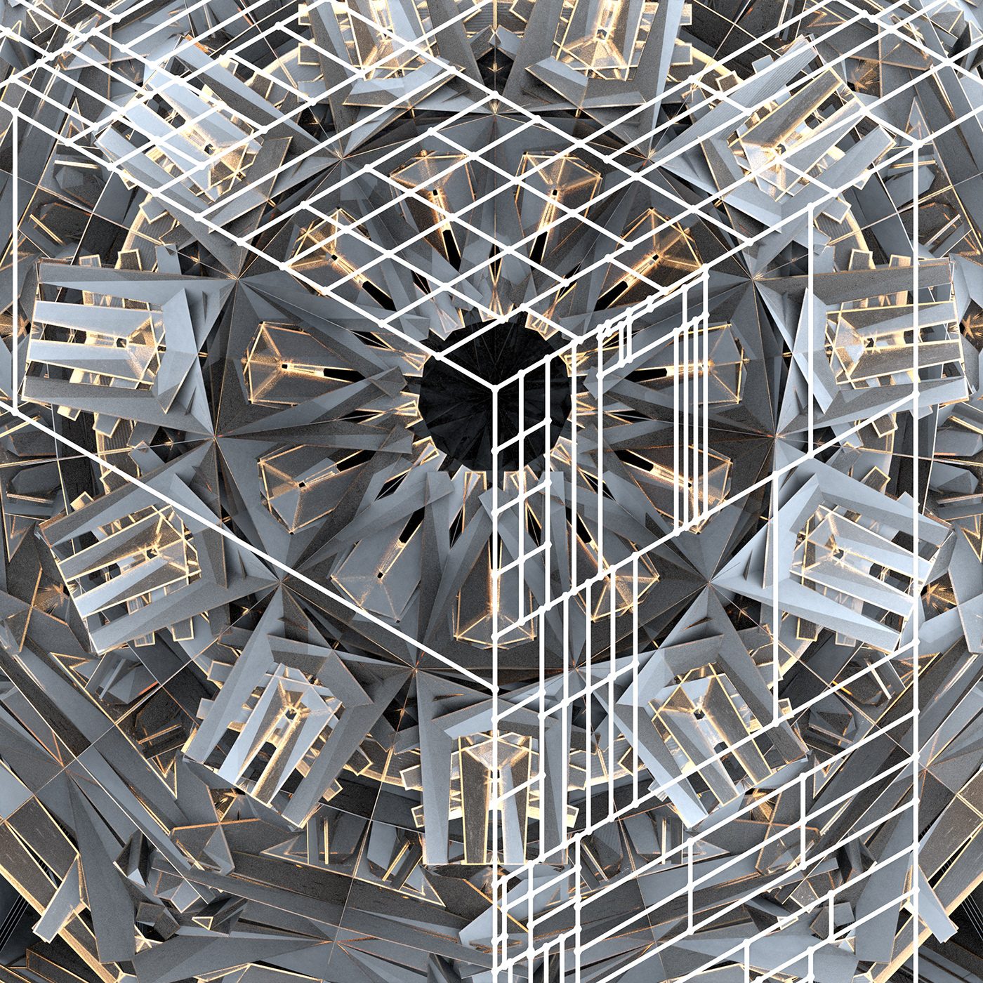
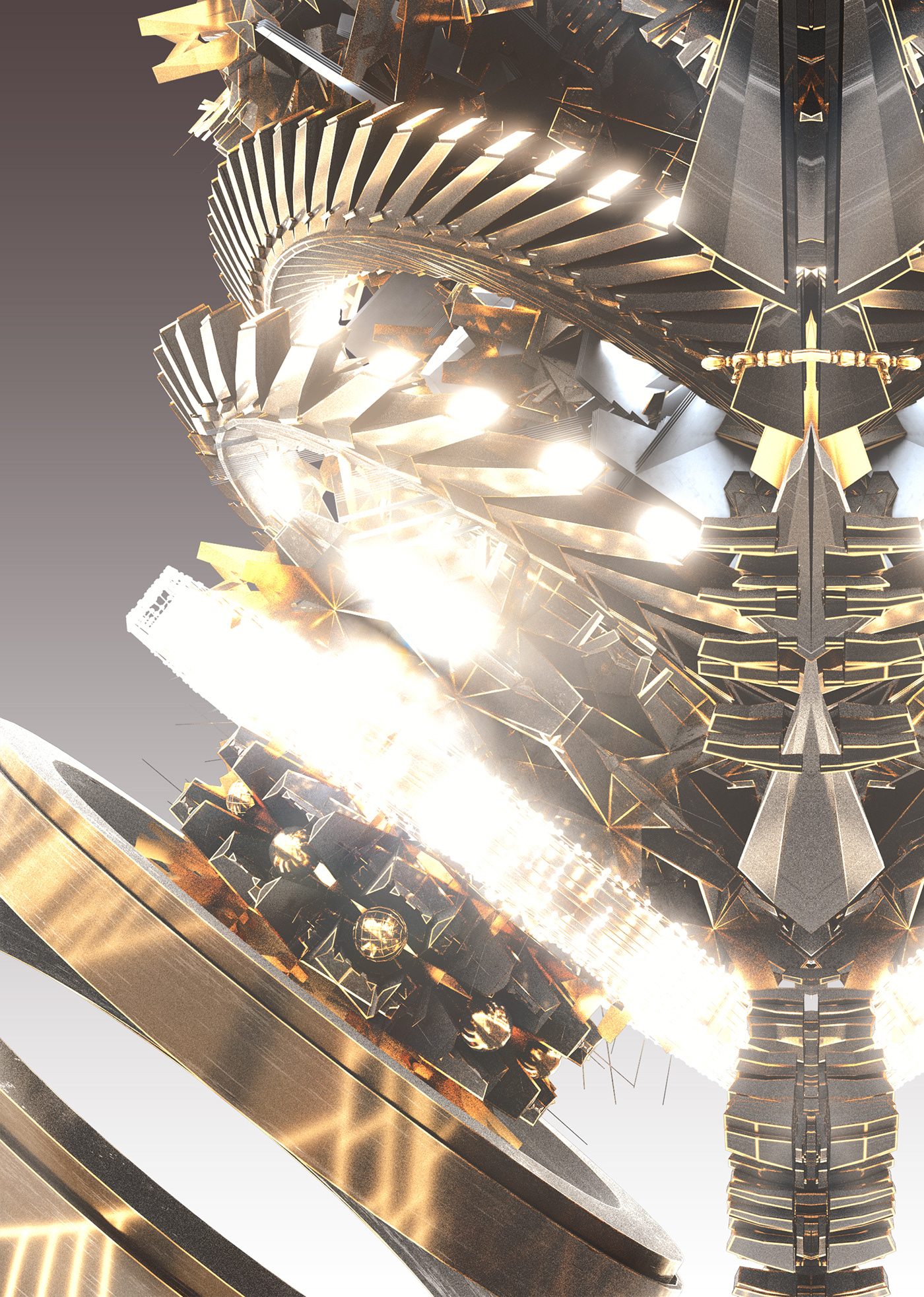
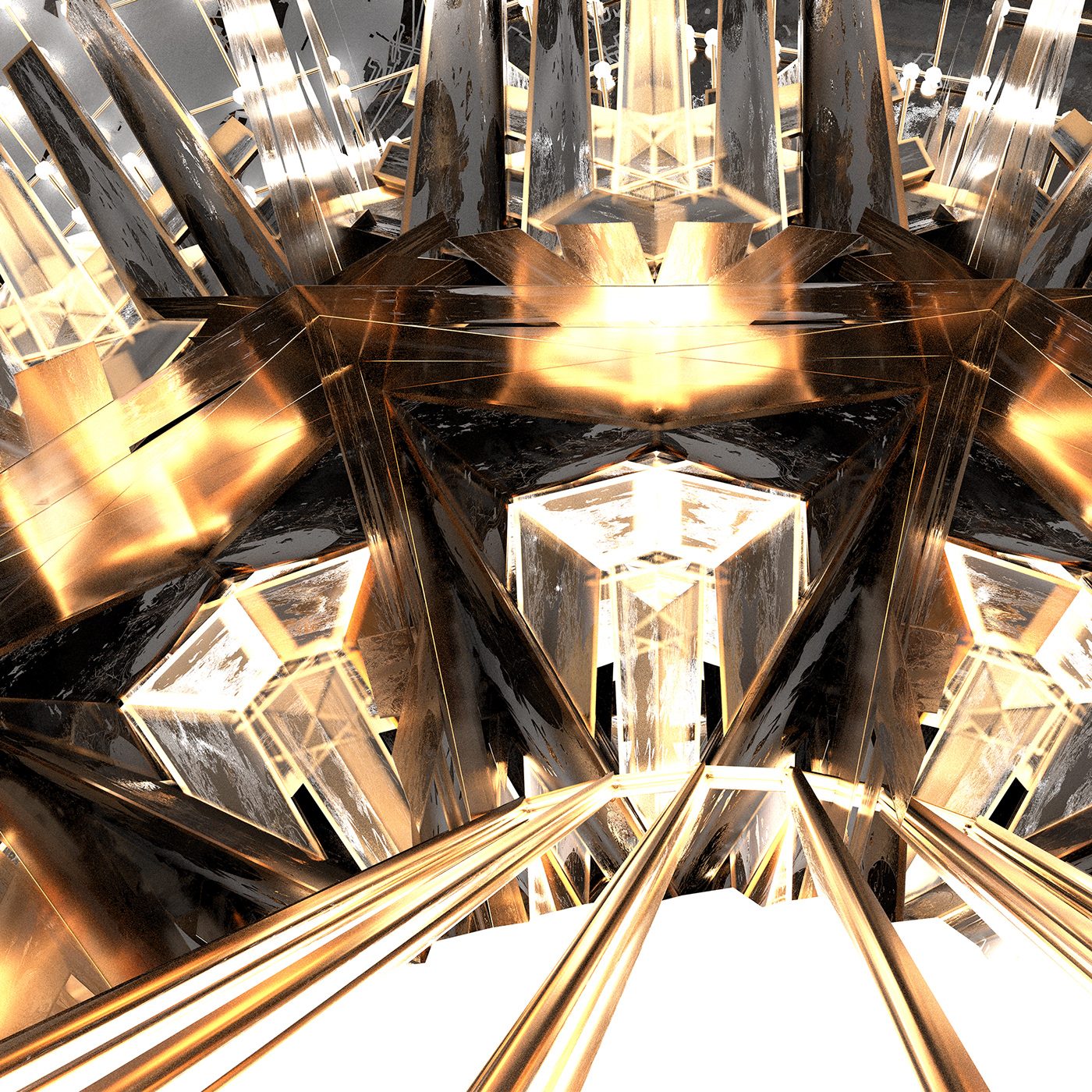
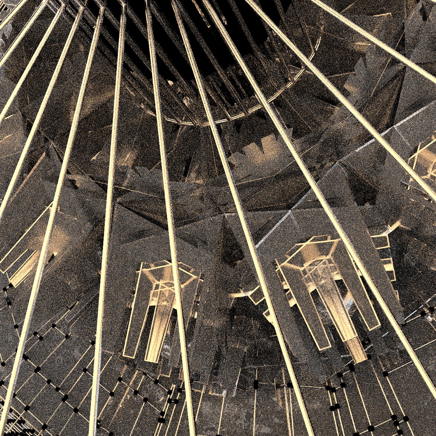
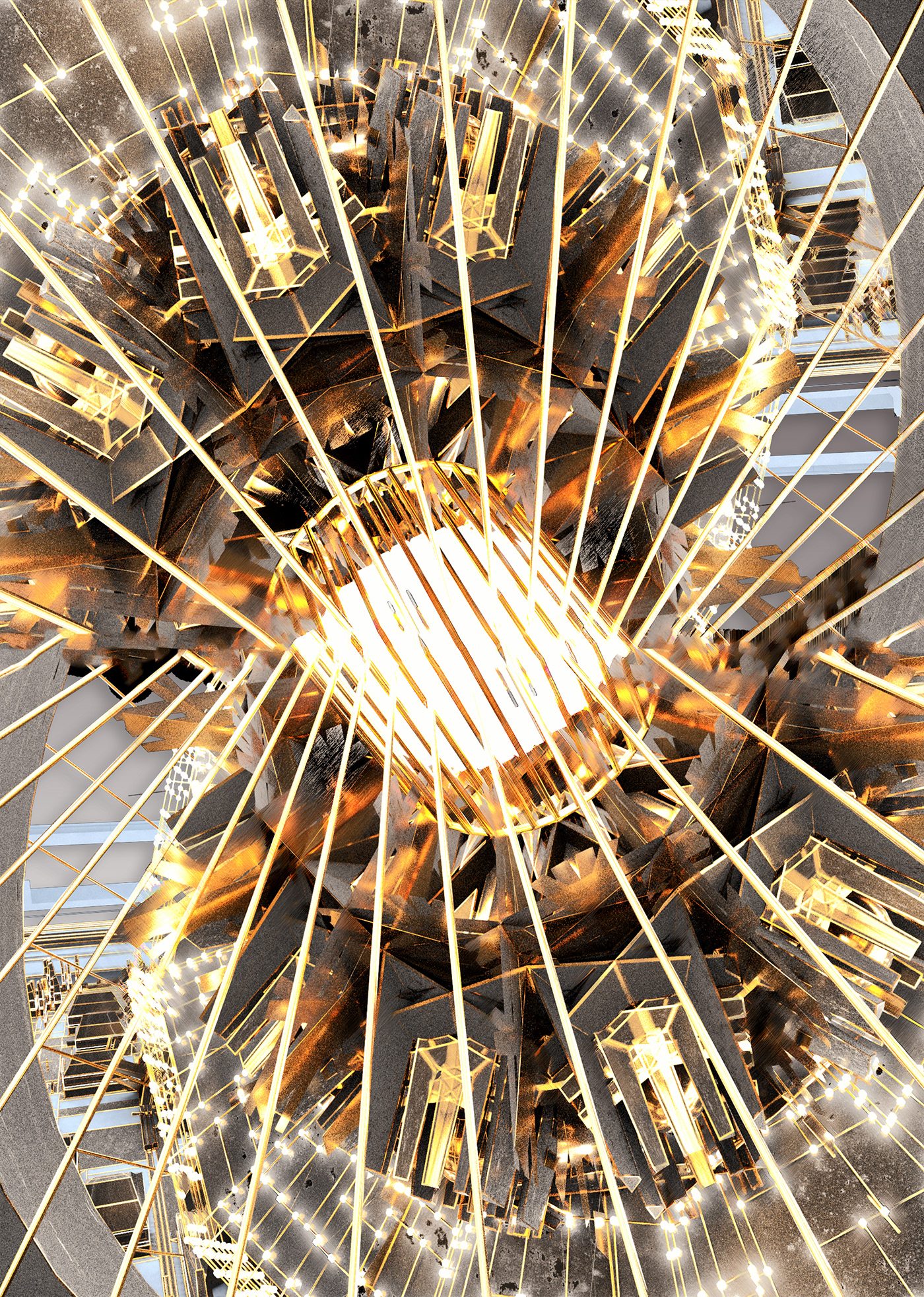
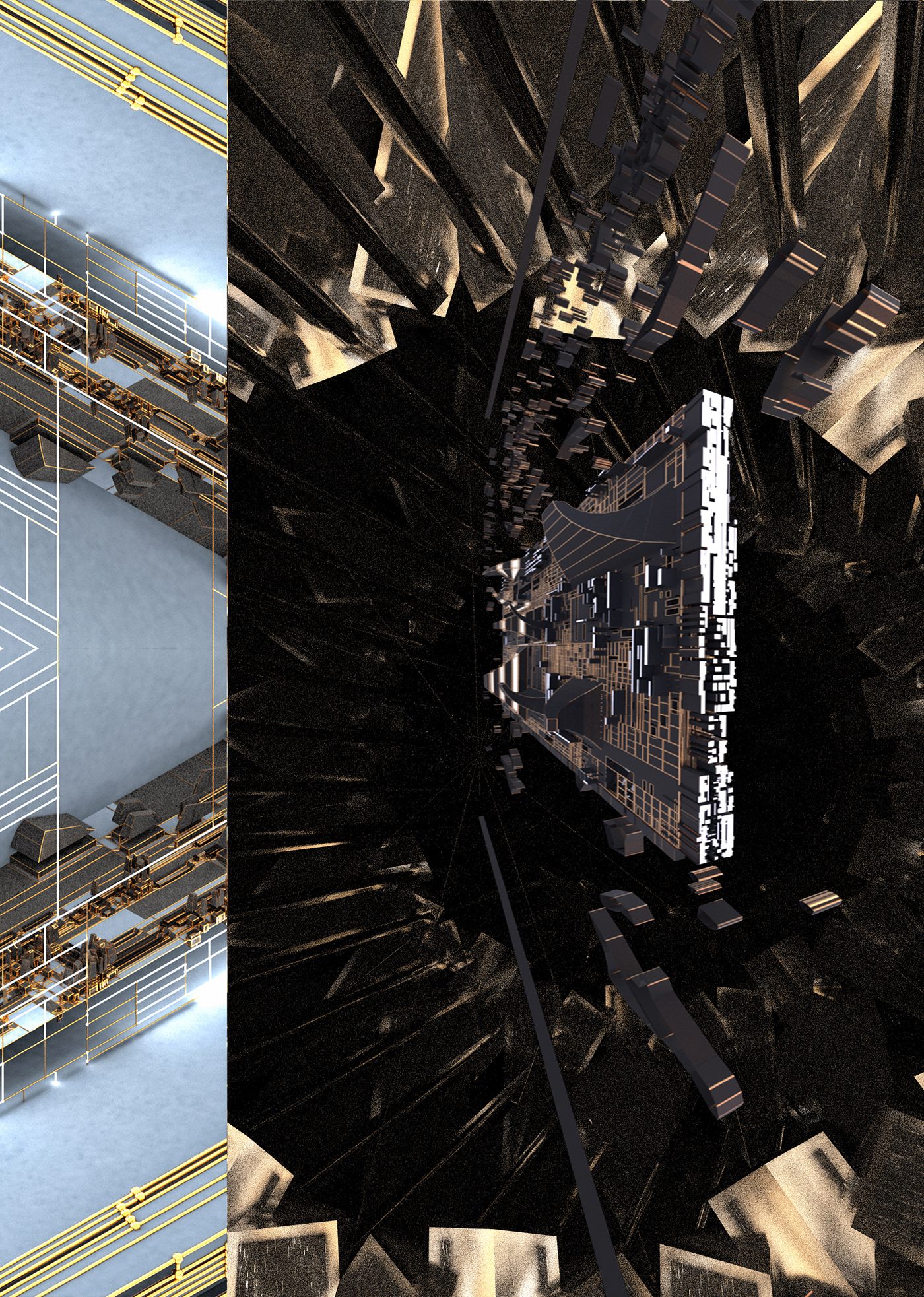
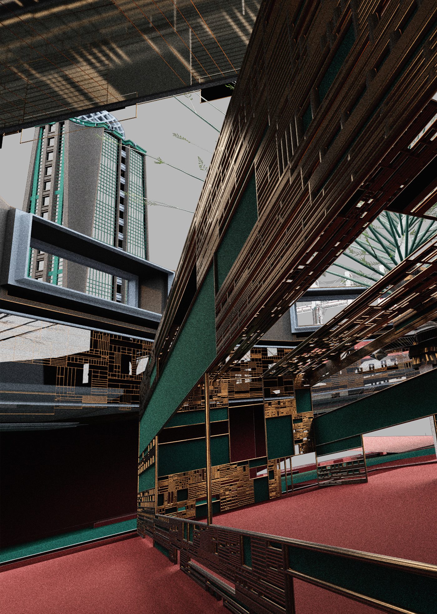
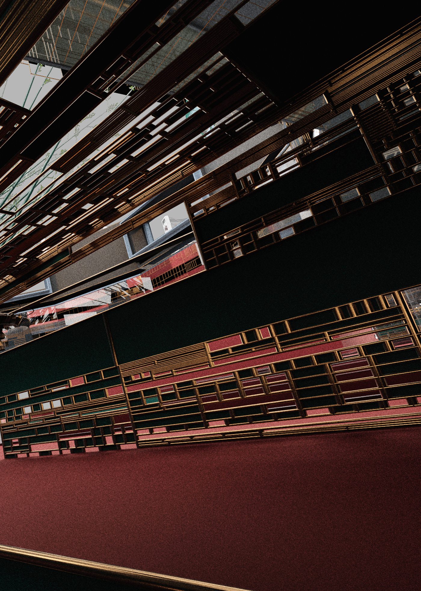
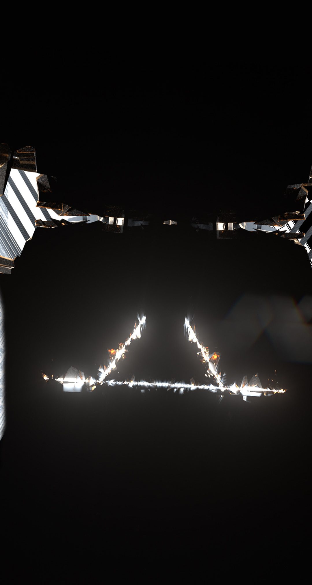
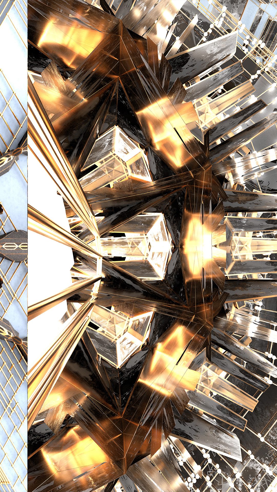
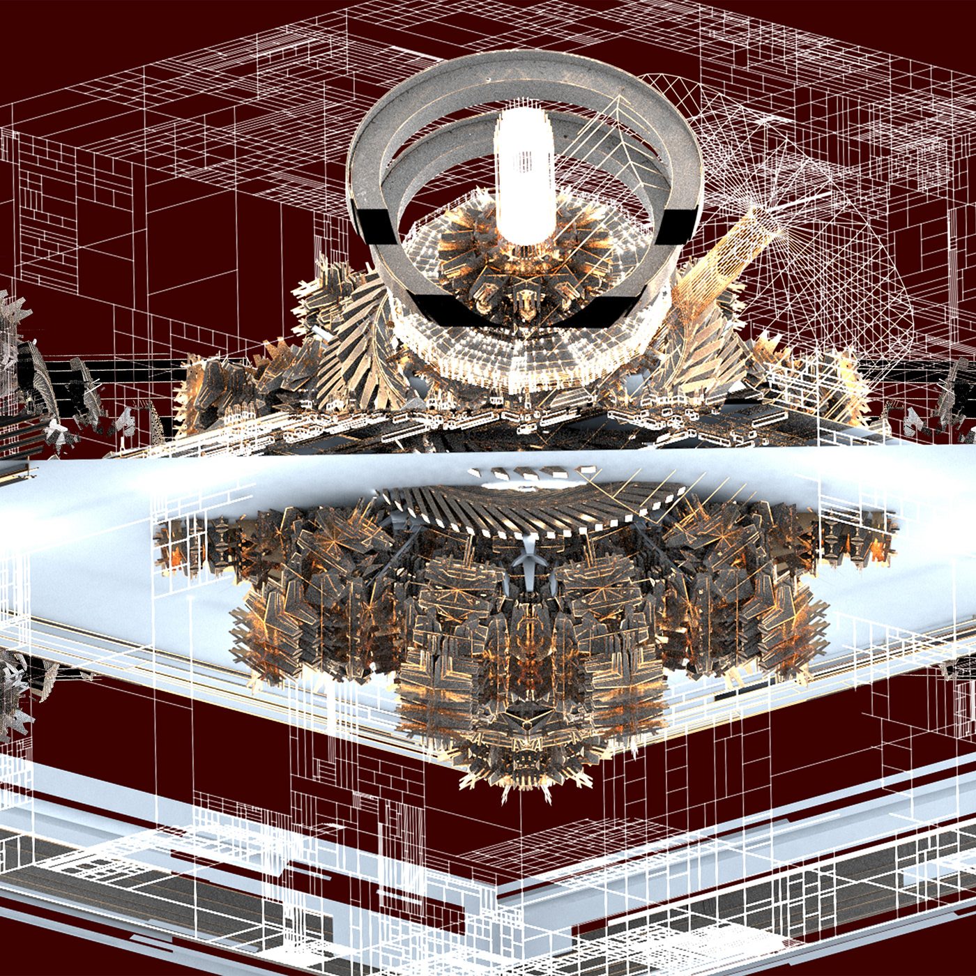
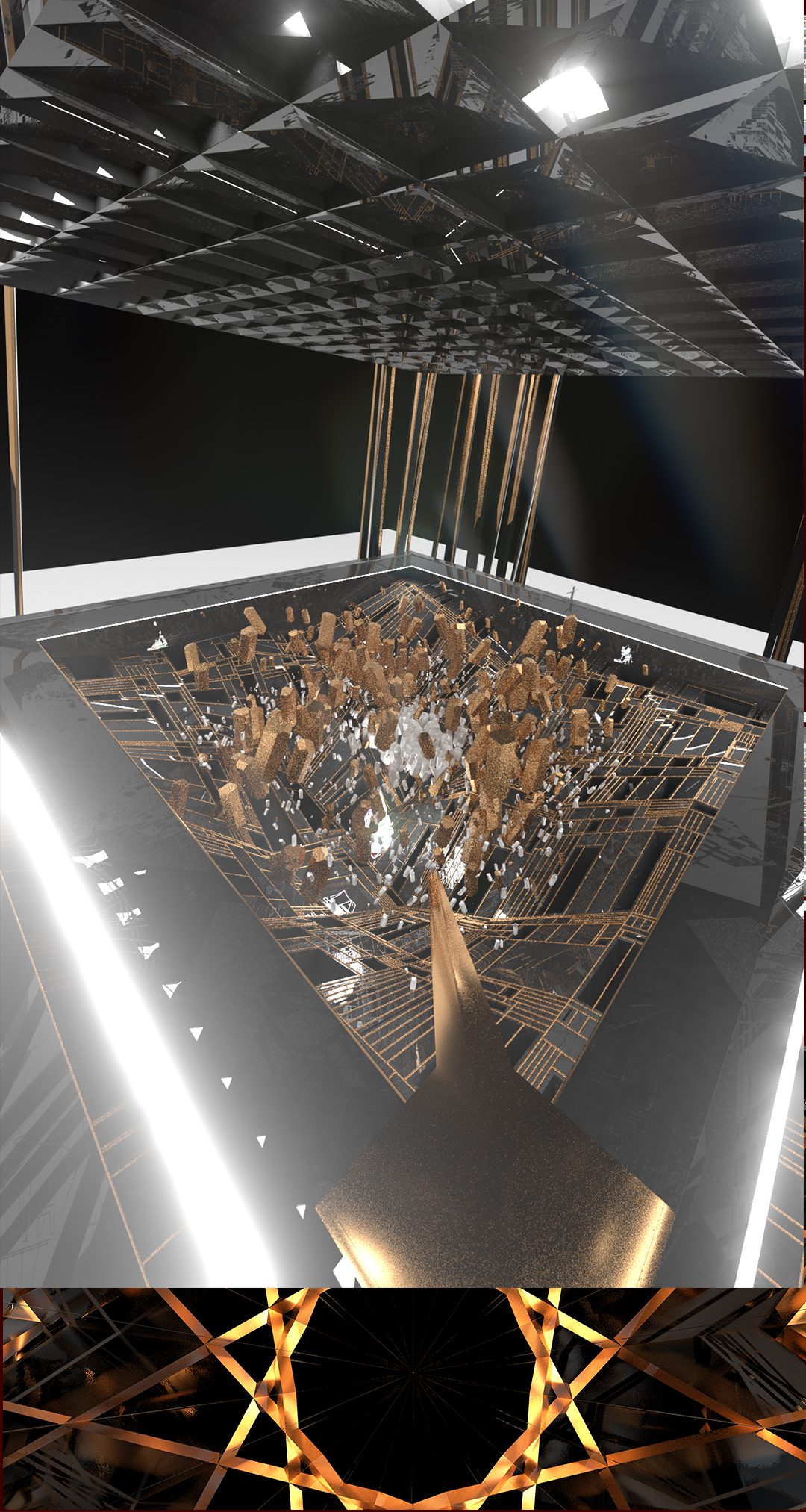
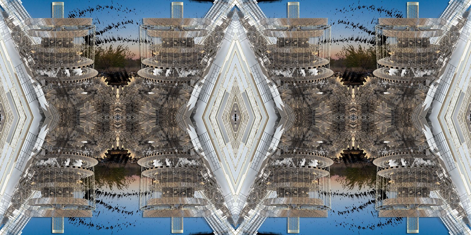
Under Construction: Looking towards the back of the venue at the Crystal Hangar and skylights
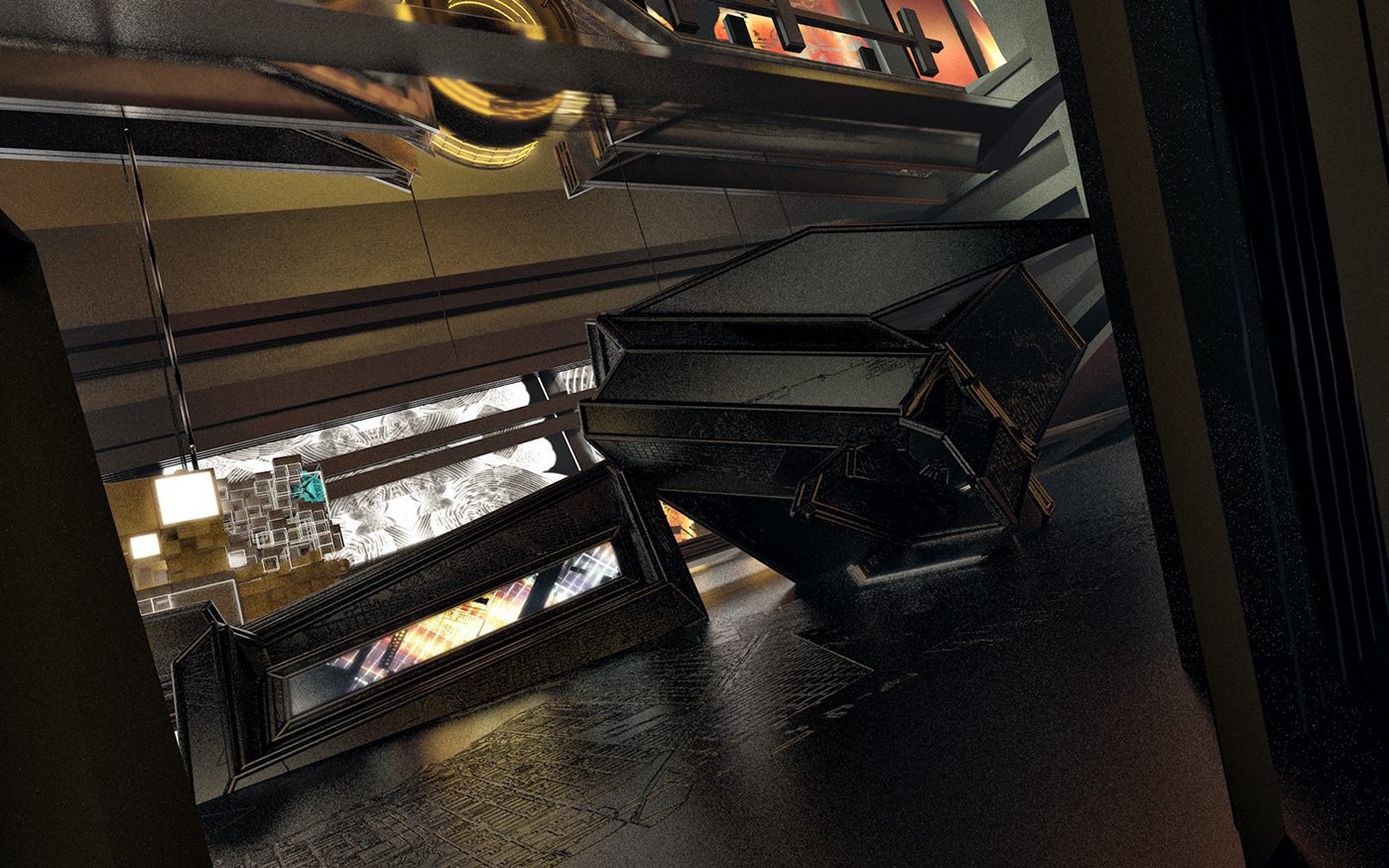
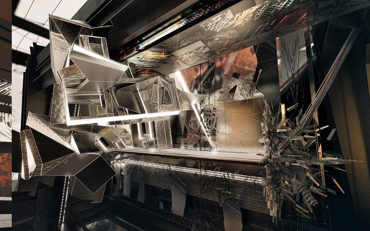
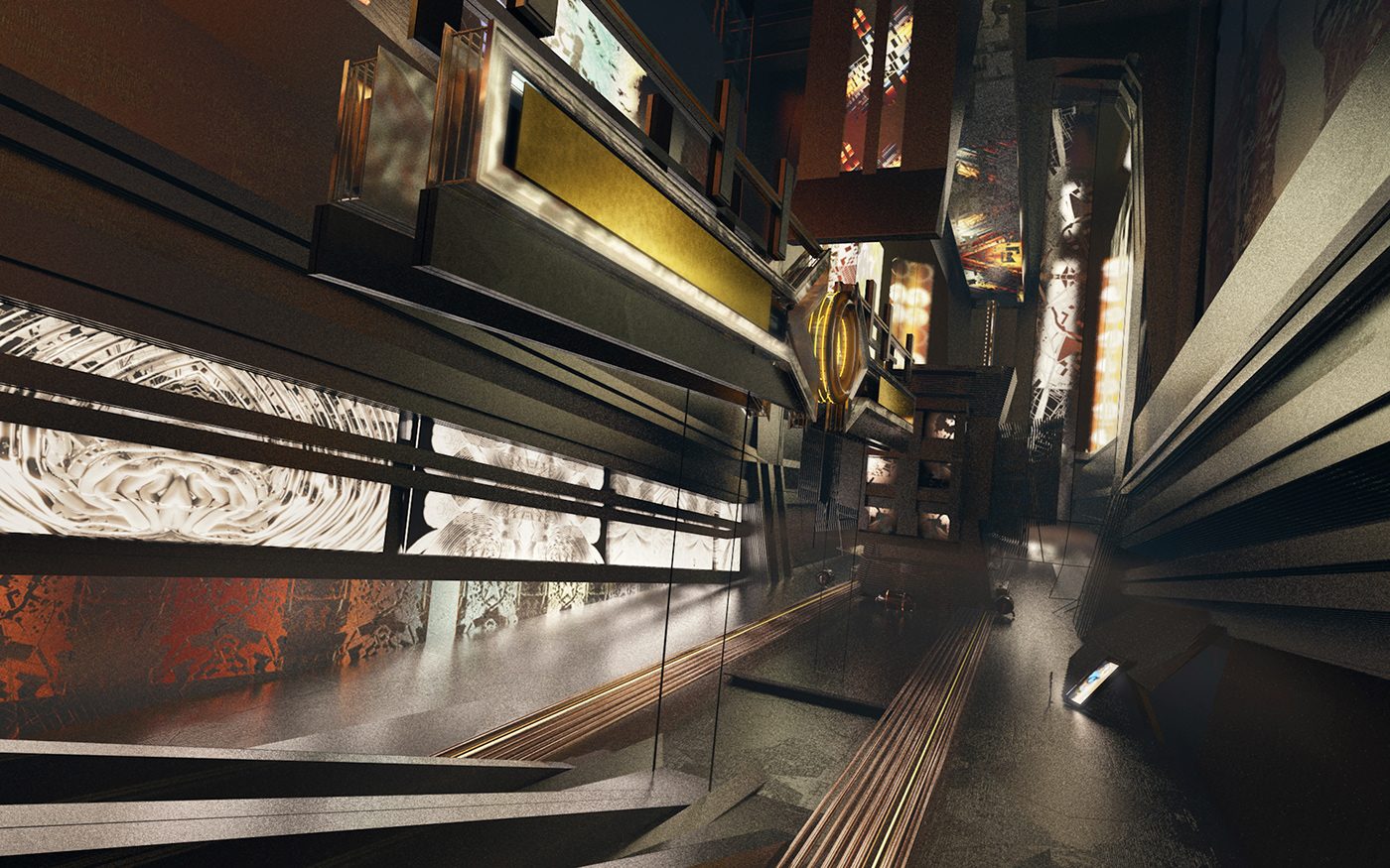
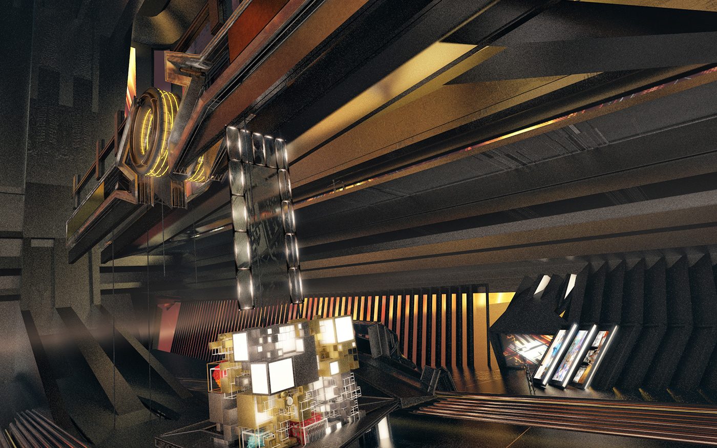
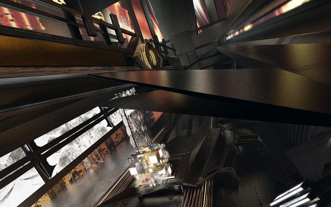
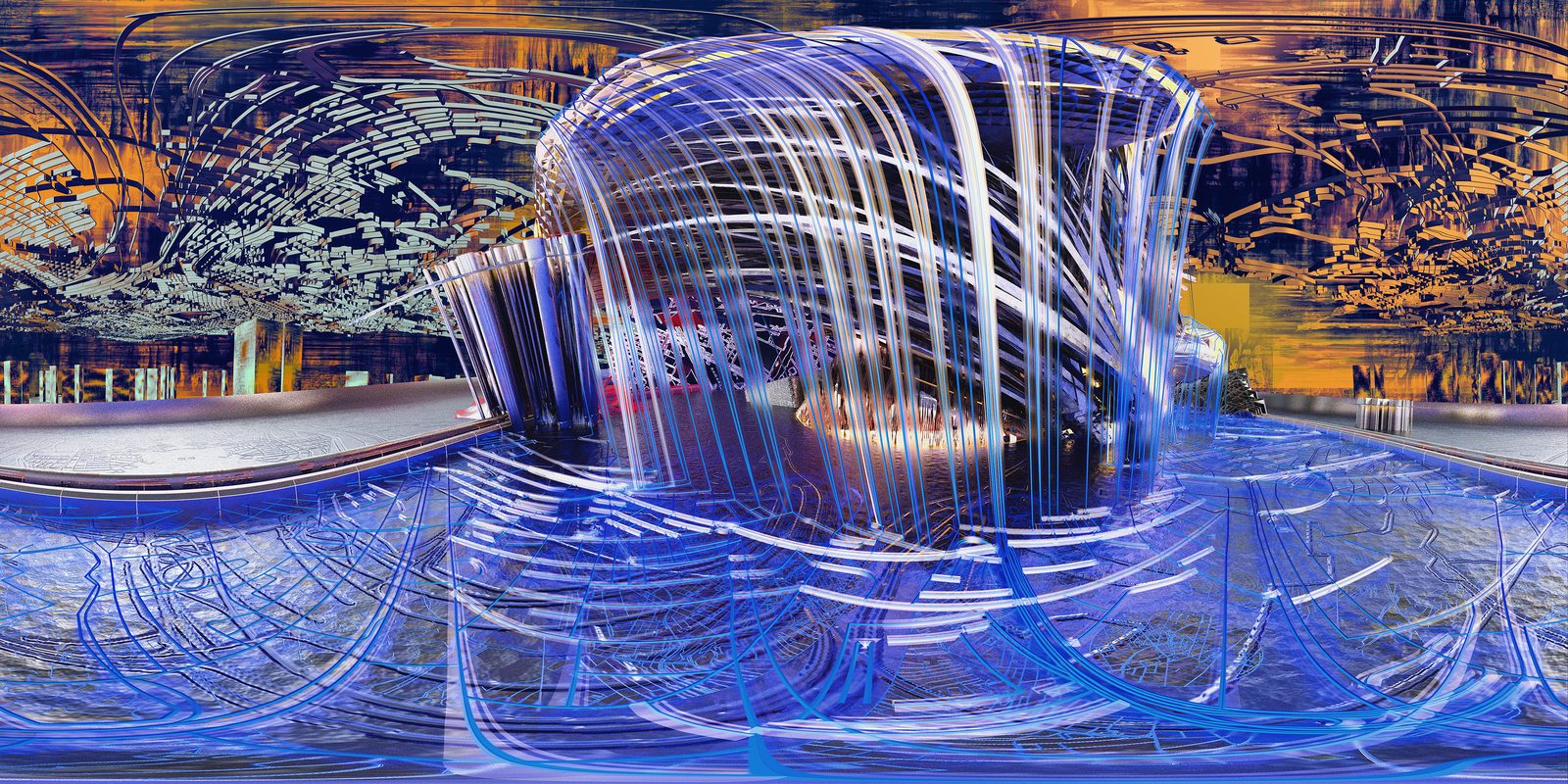
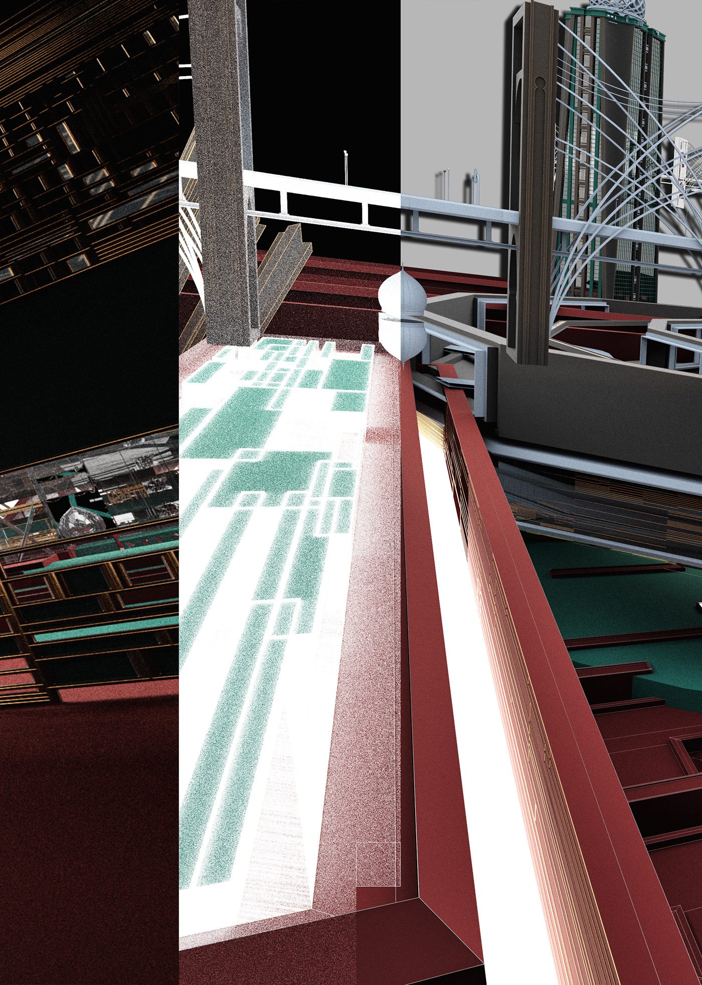
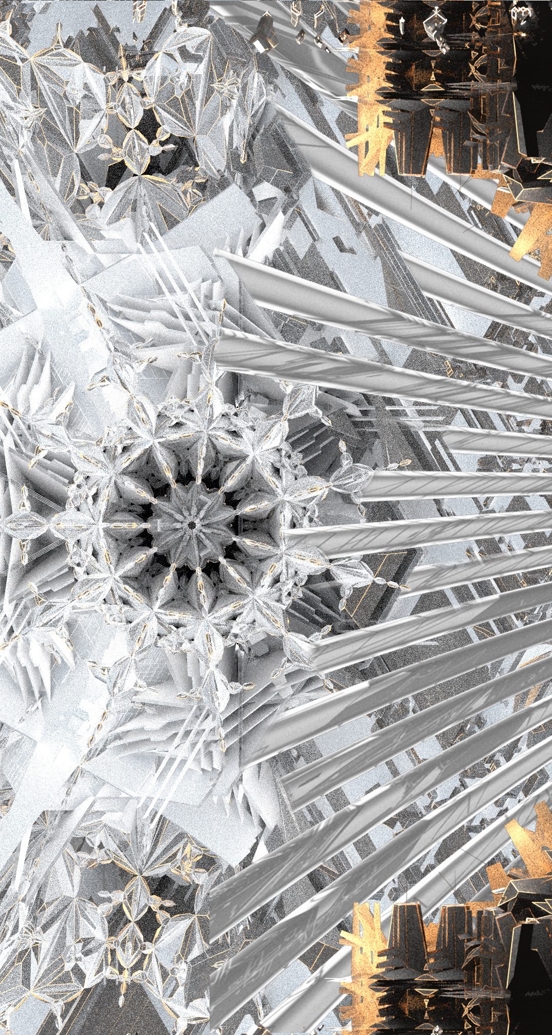
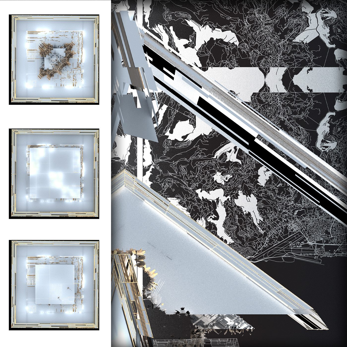
The Entrance, Crystal hangar details, View from empty first half, lightcube portal and semi-completed first half/ upper levels of the venue.
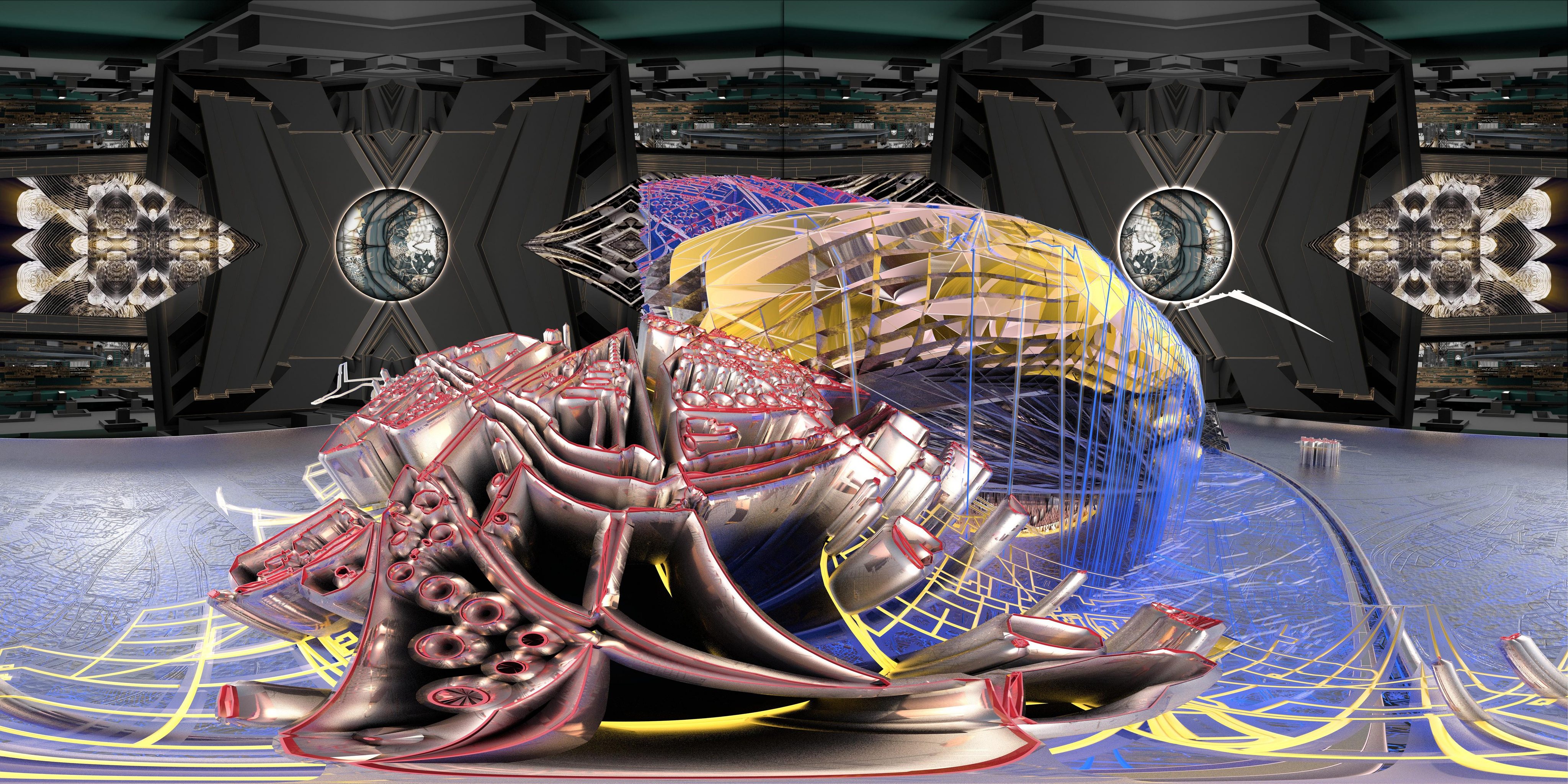
Diawara
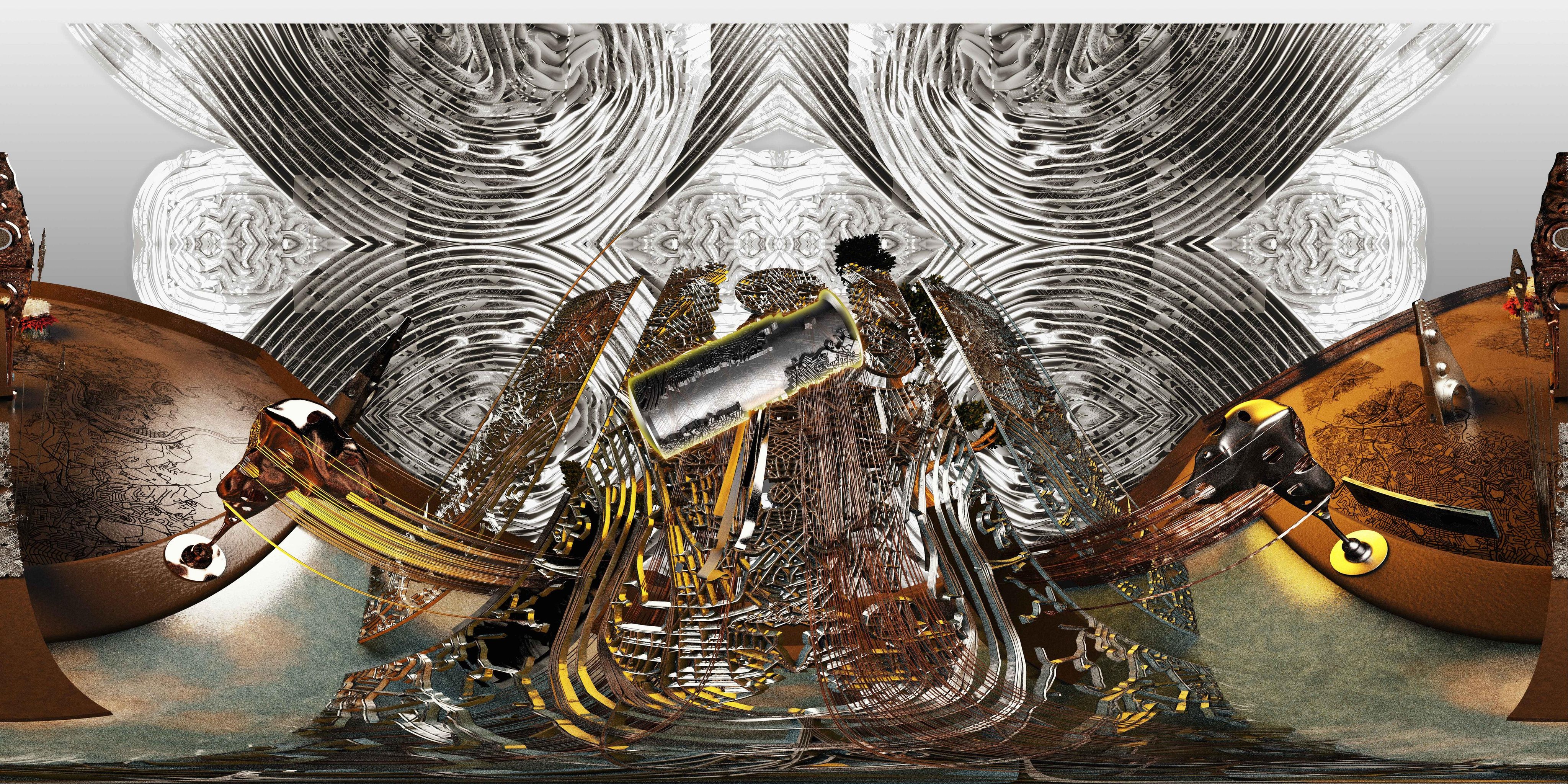
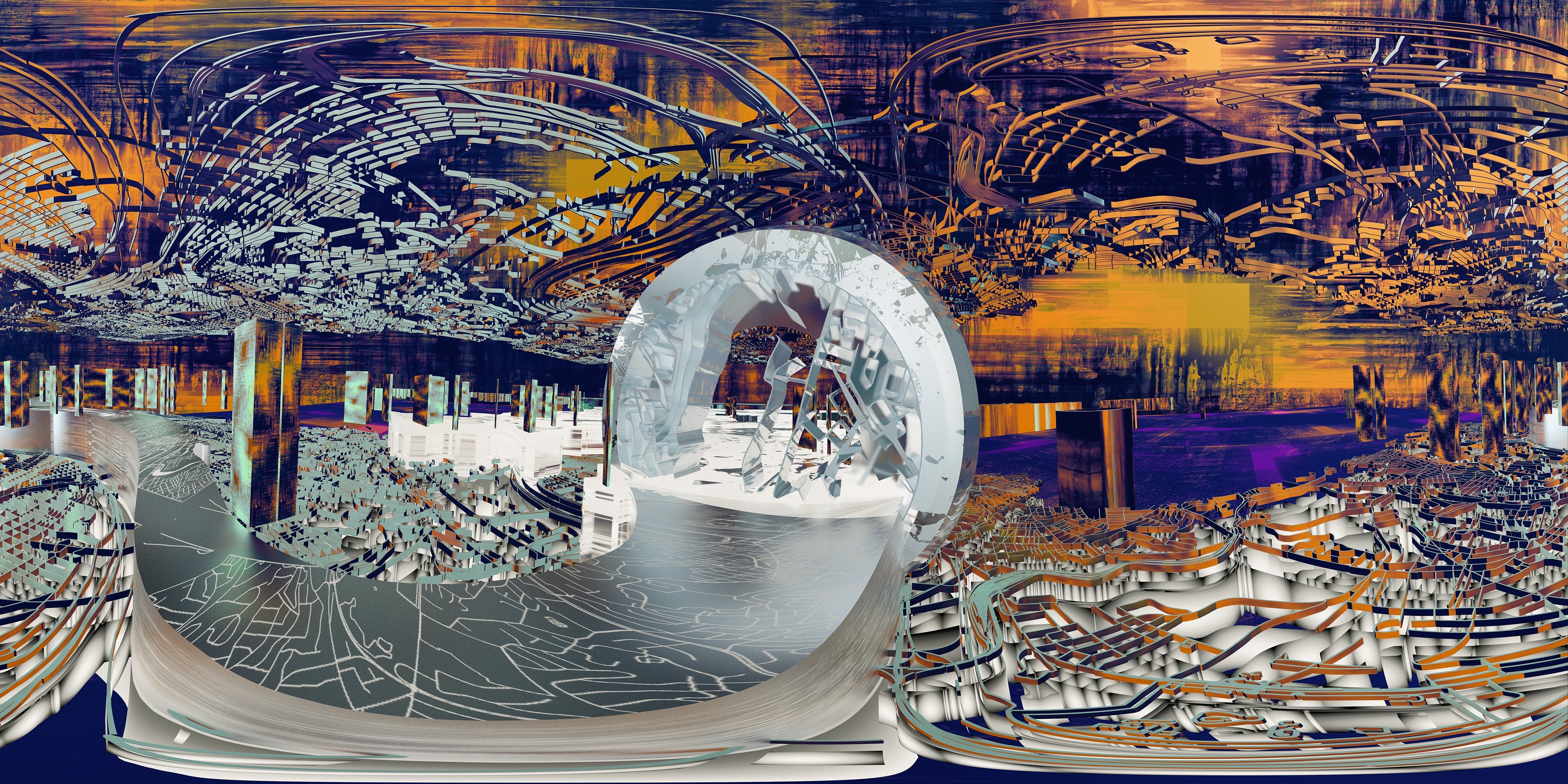
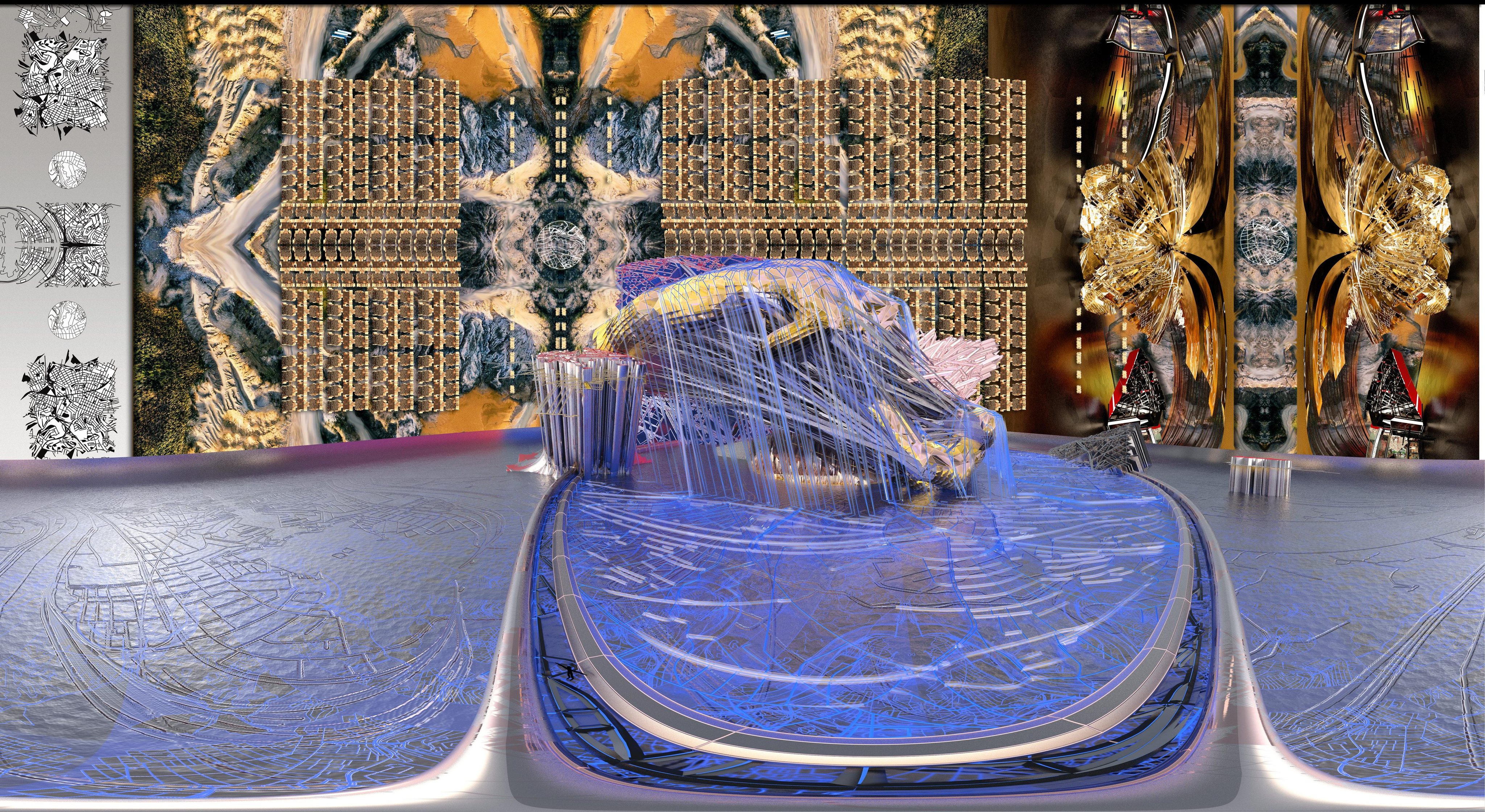
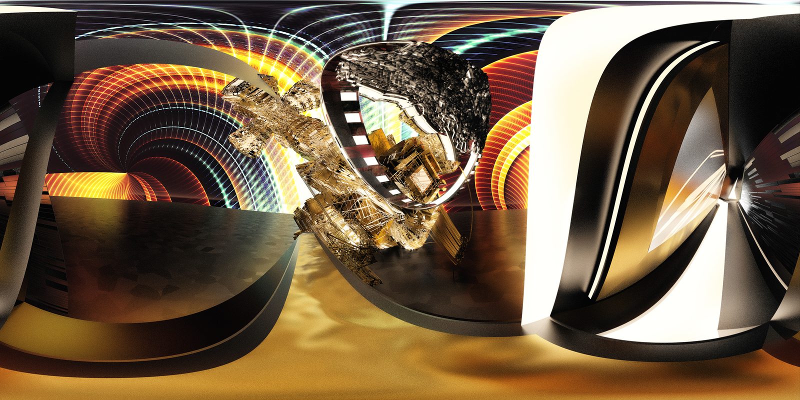
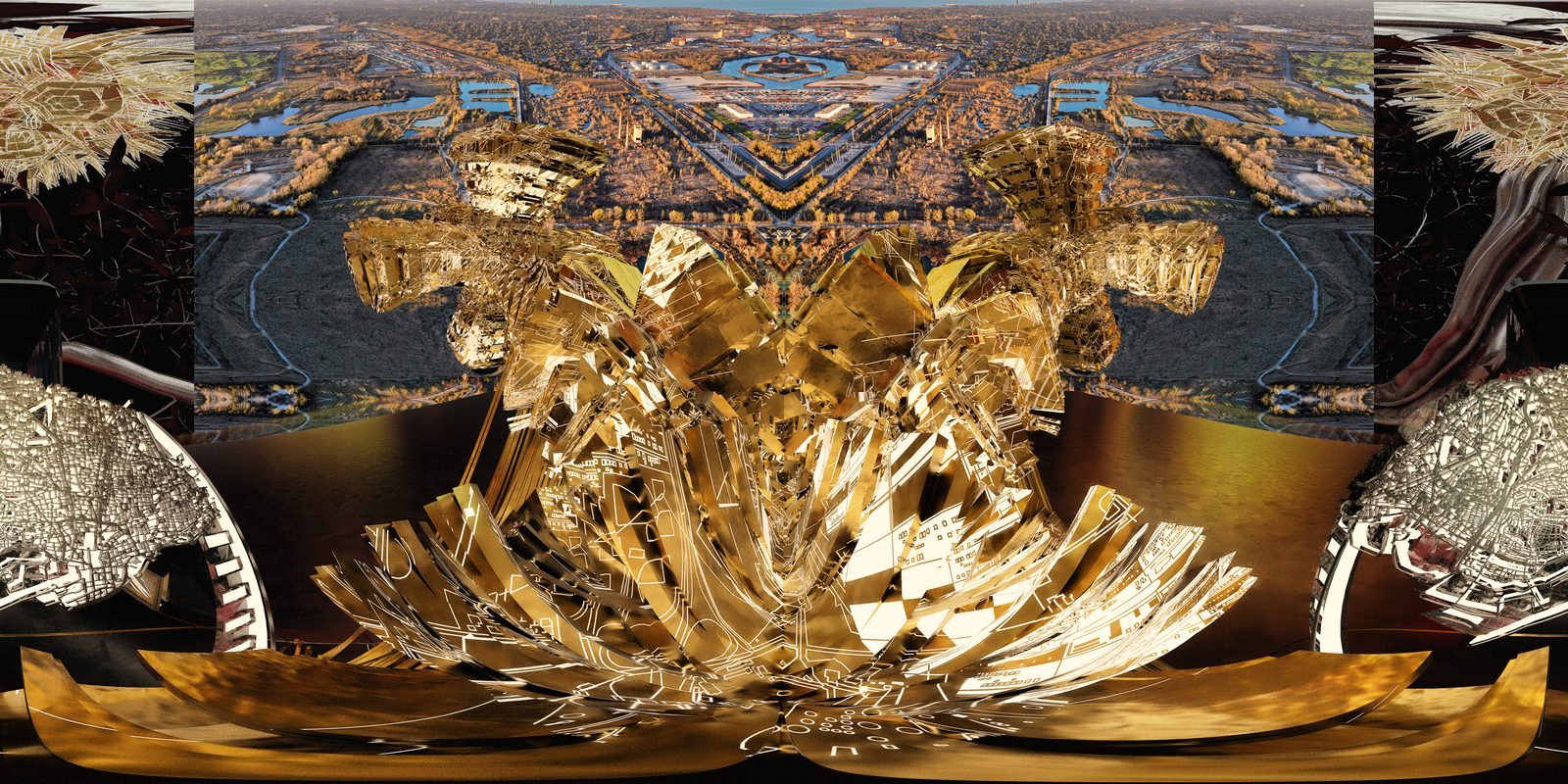
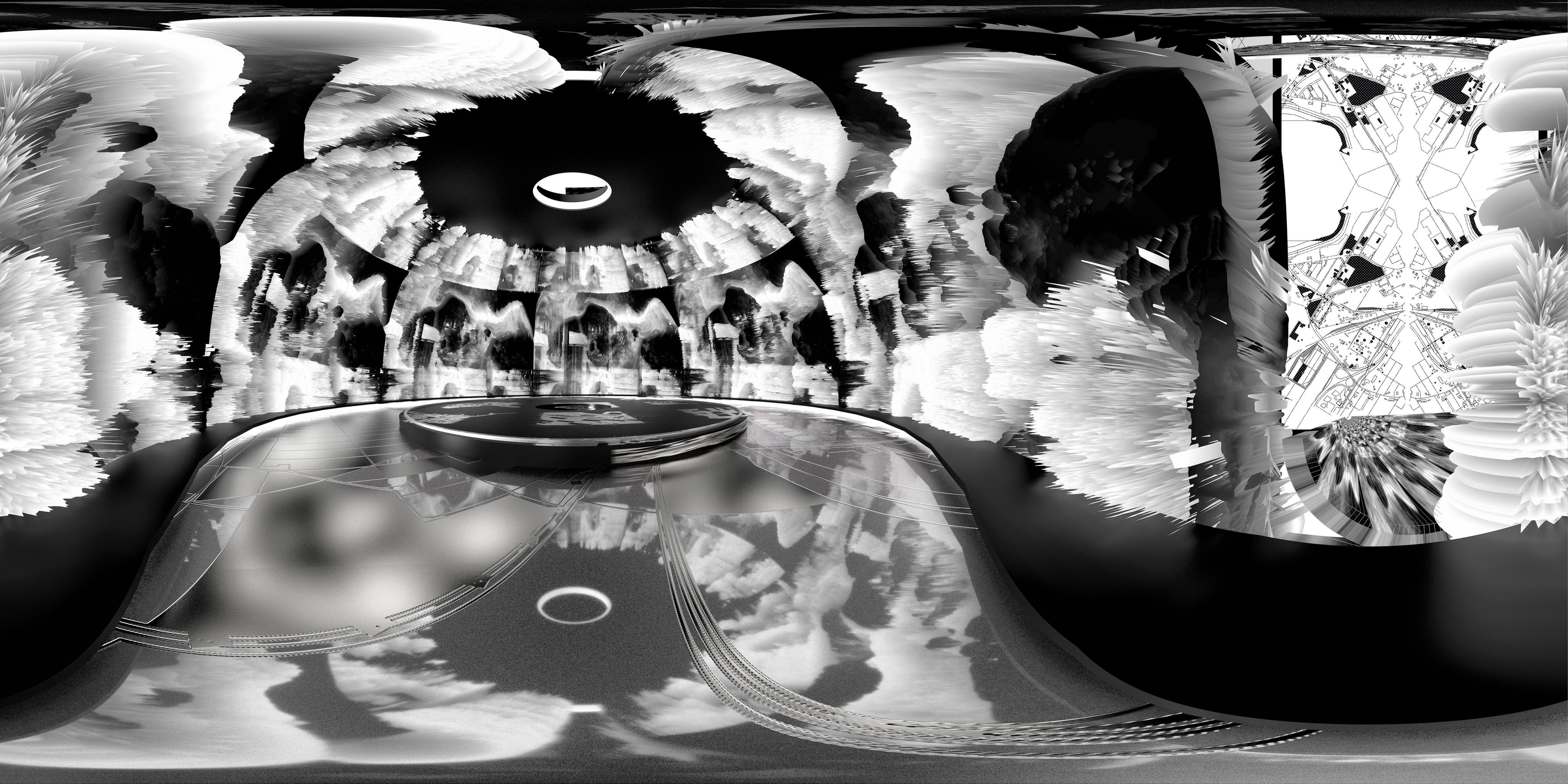
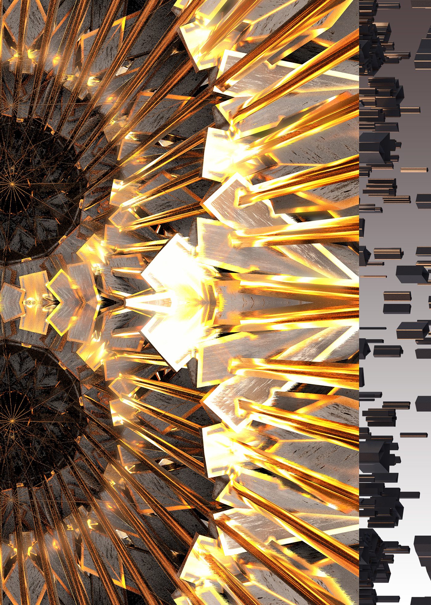
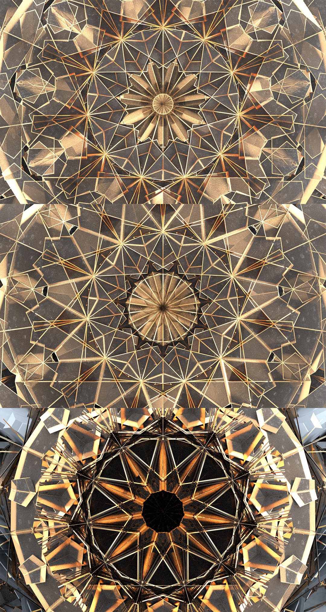
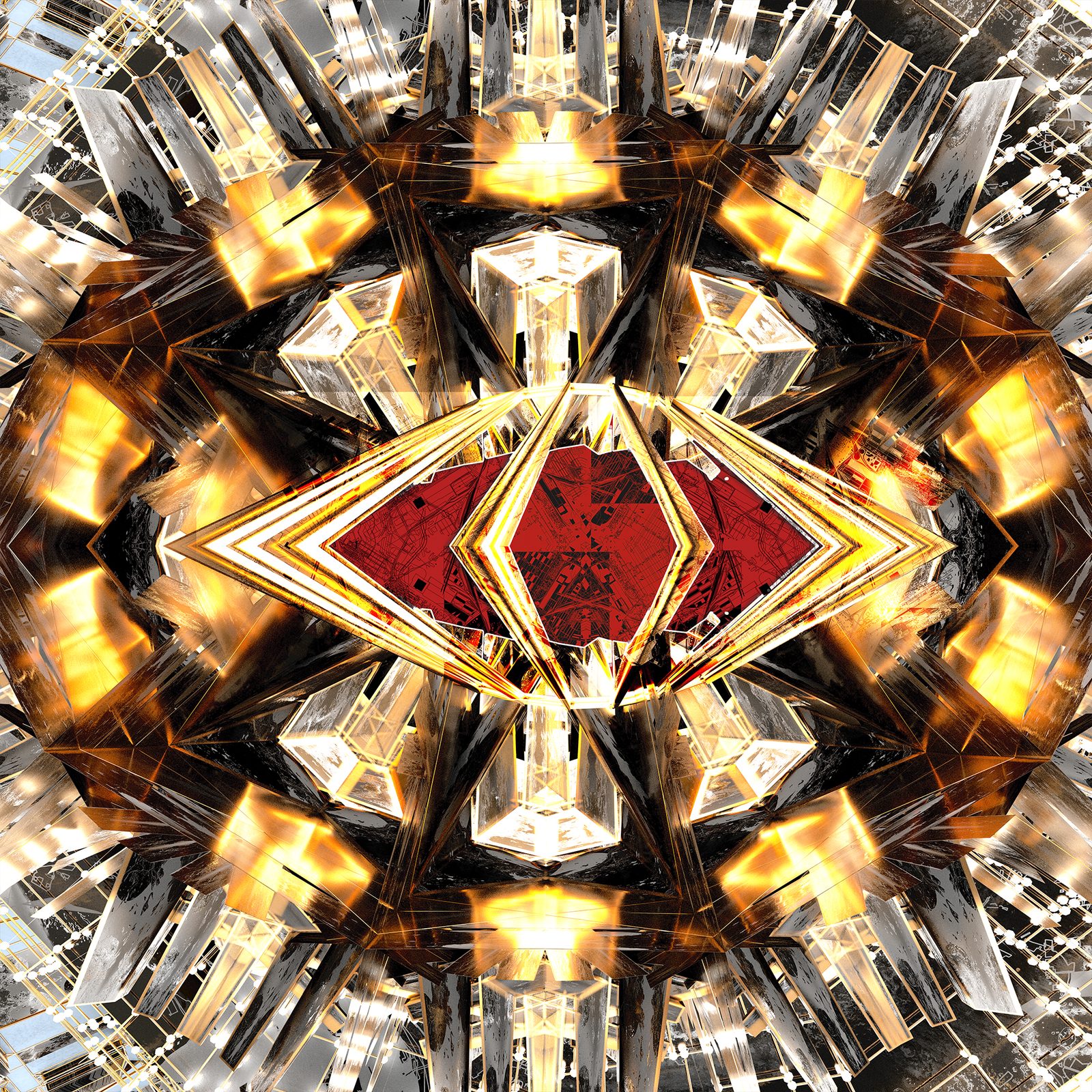
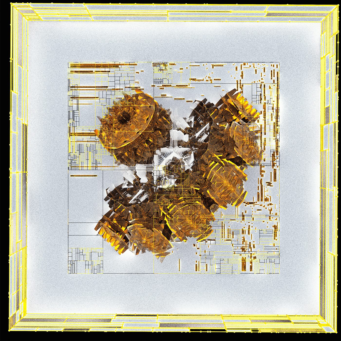
The first external level consisting of the remnants of 'Dia' an earth crystal reliant culture. Their crystals power various relic technology, once that level's challenge is completed the hangar can be accessed via scale shifting abilities. (level based on the beirut explosion glyphs)
The first external level consisting of the remnants of 'Dia' an earth crystal reliant culture. Their crystals power various relic technology, once that level's challenge is completed the hangar can be accessed via scale shifting abilities. (level based on the beirut explosion glyphs)
Eddies Archive
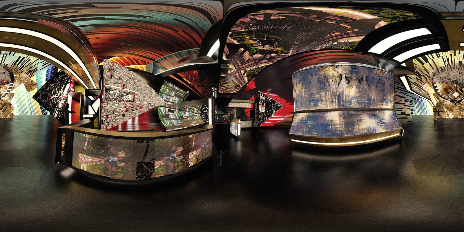
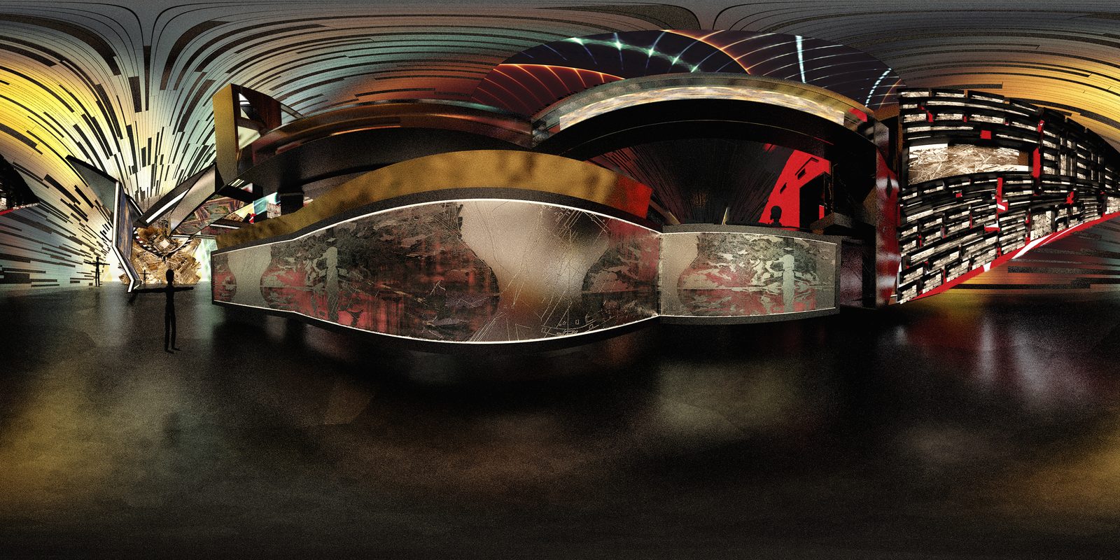
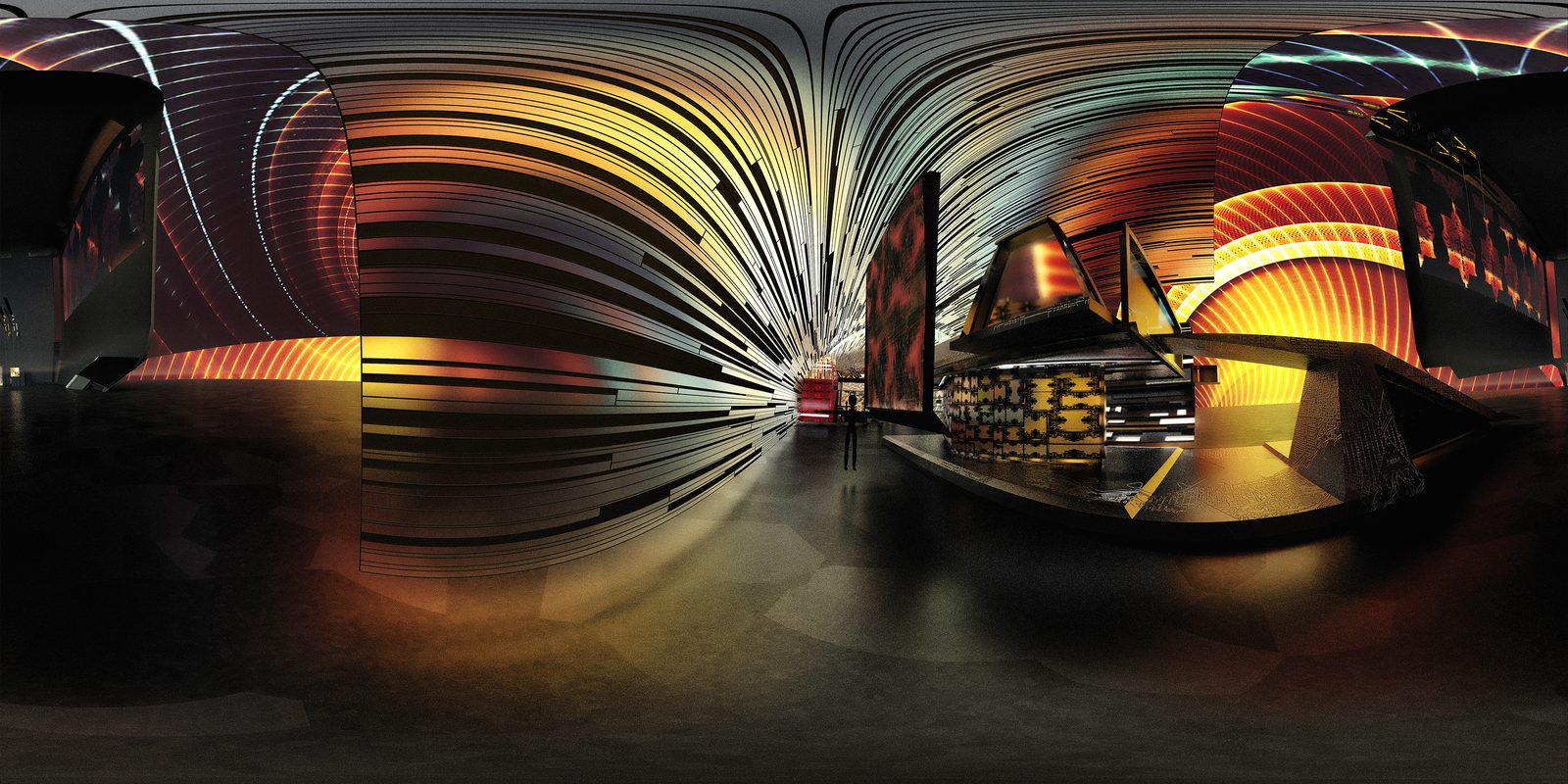
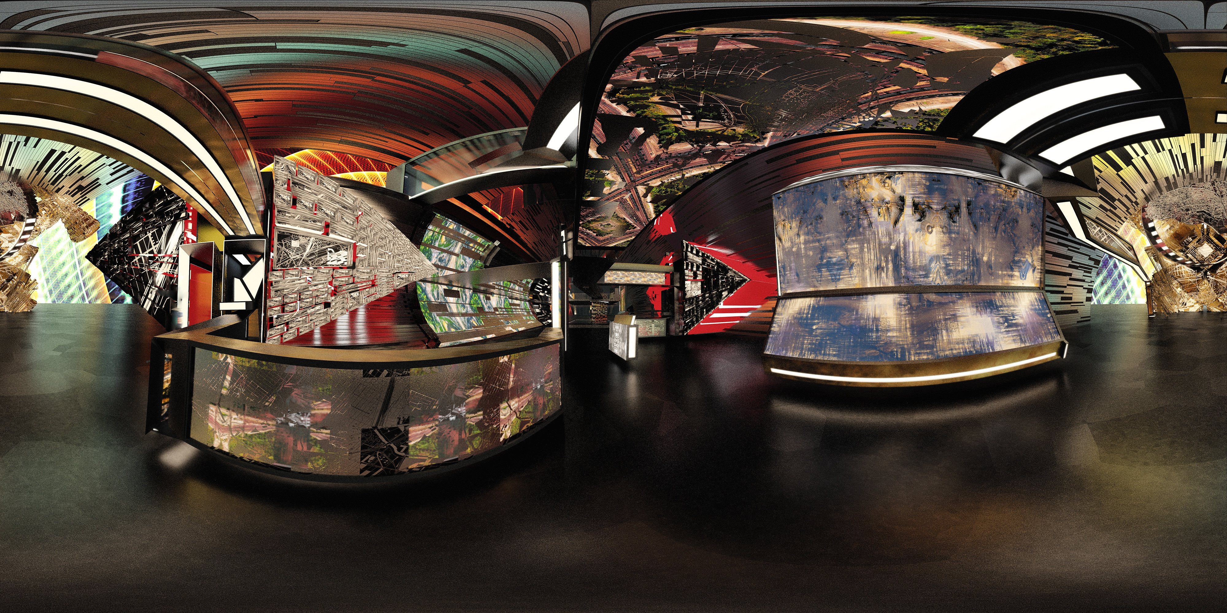
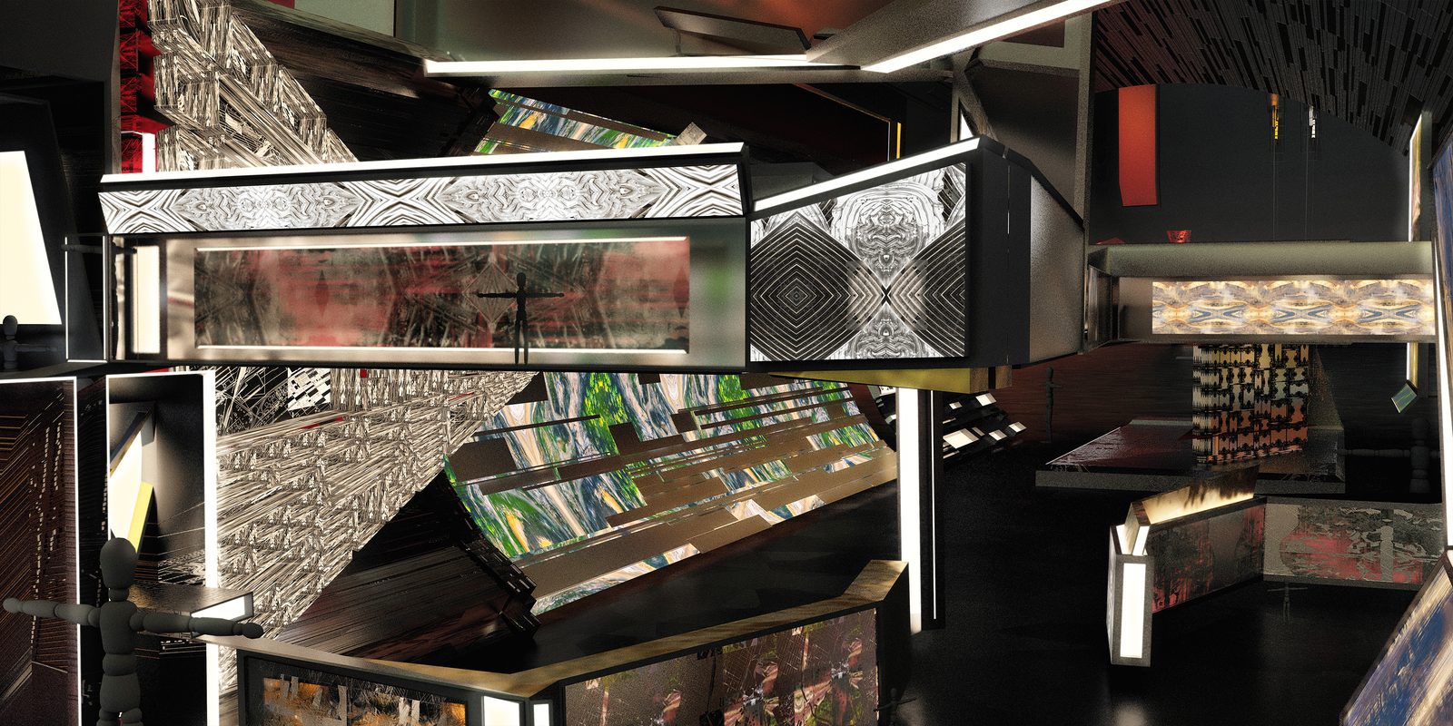
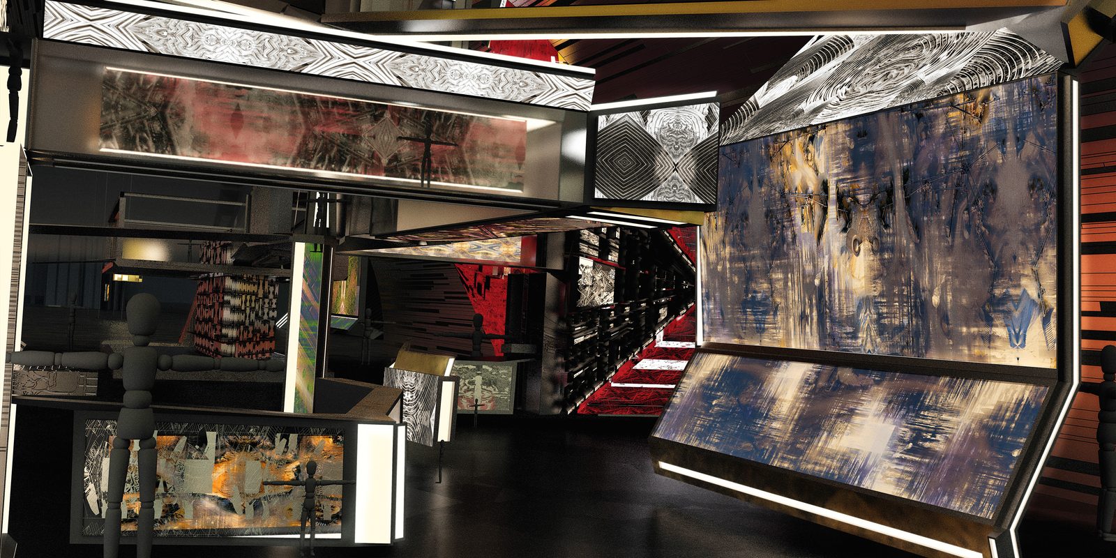
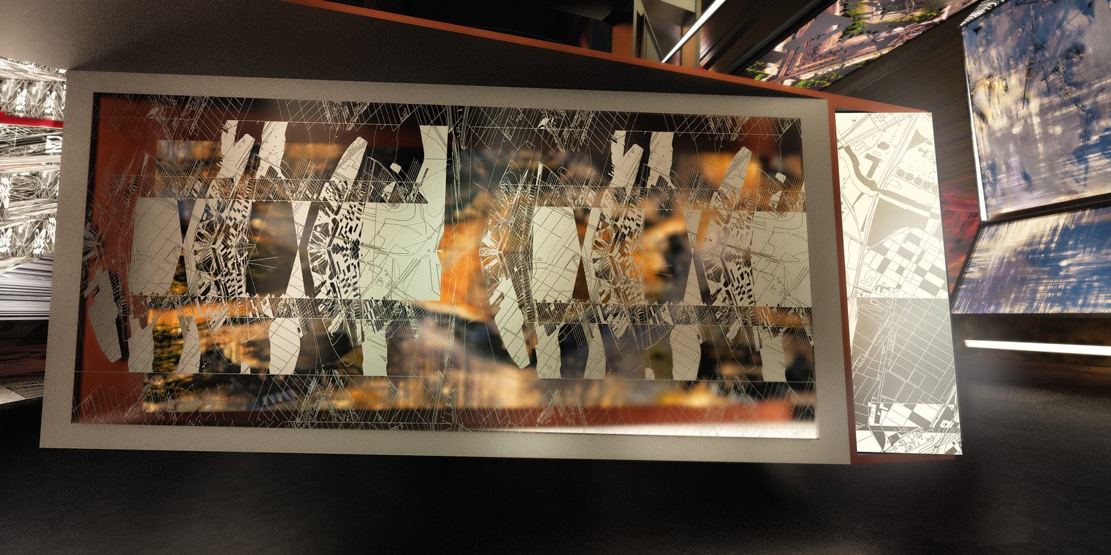
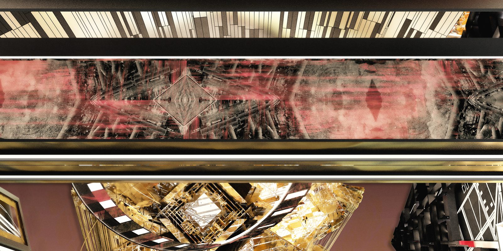
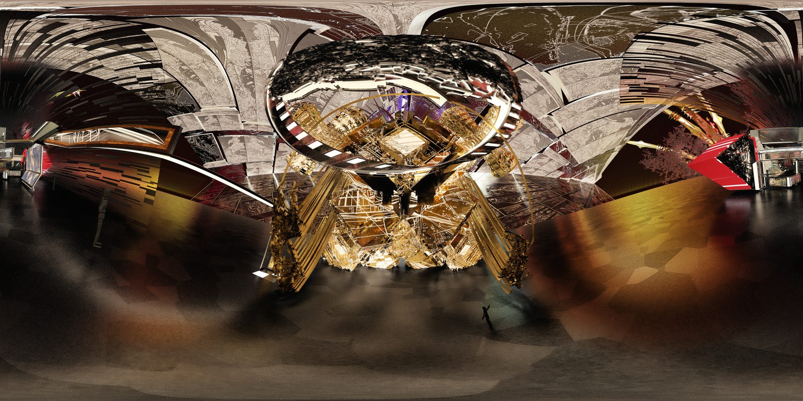
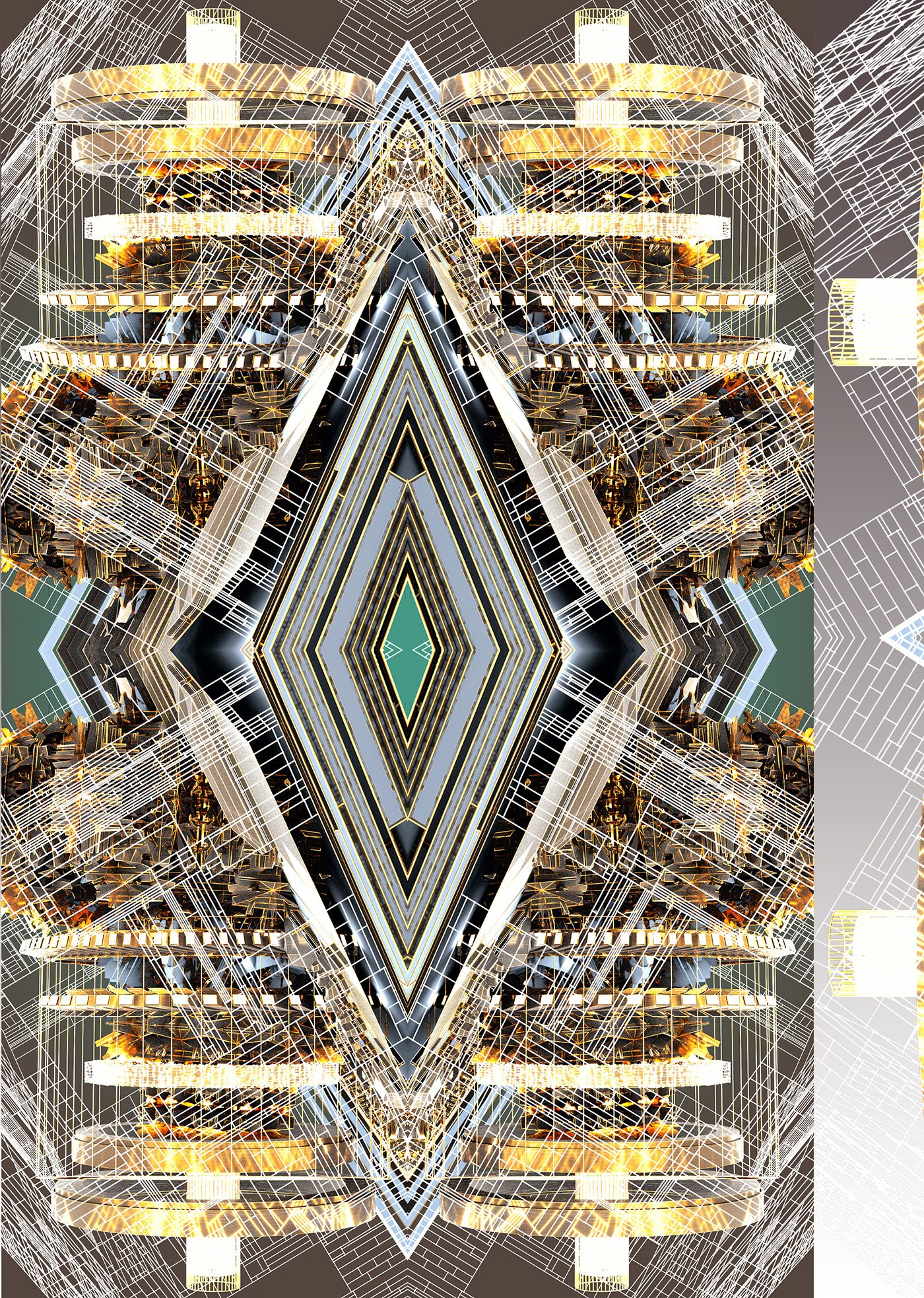
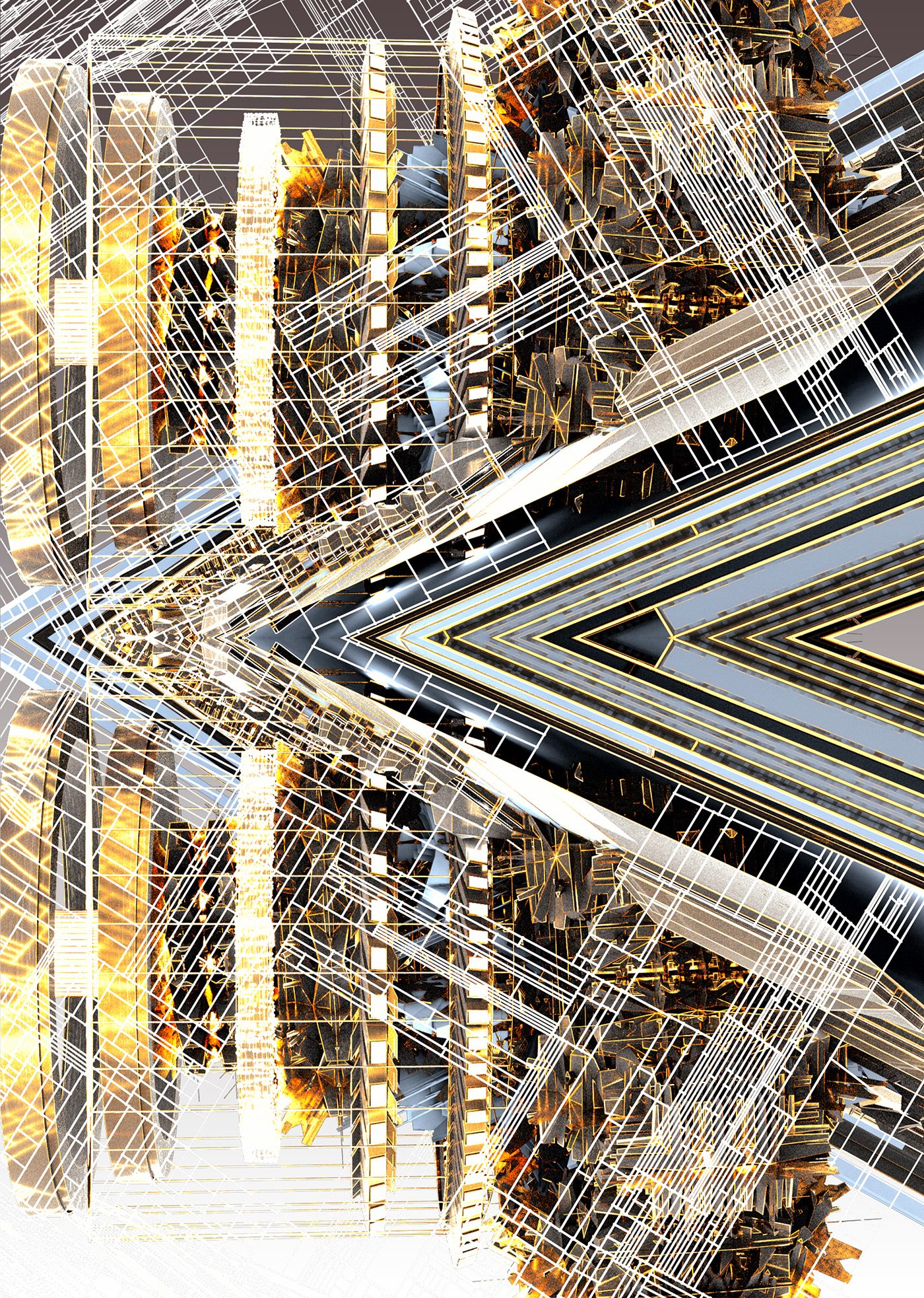
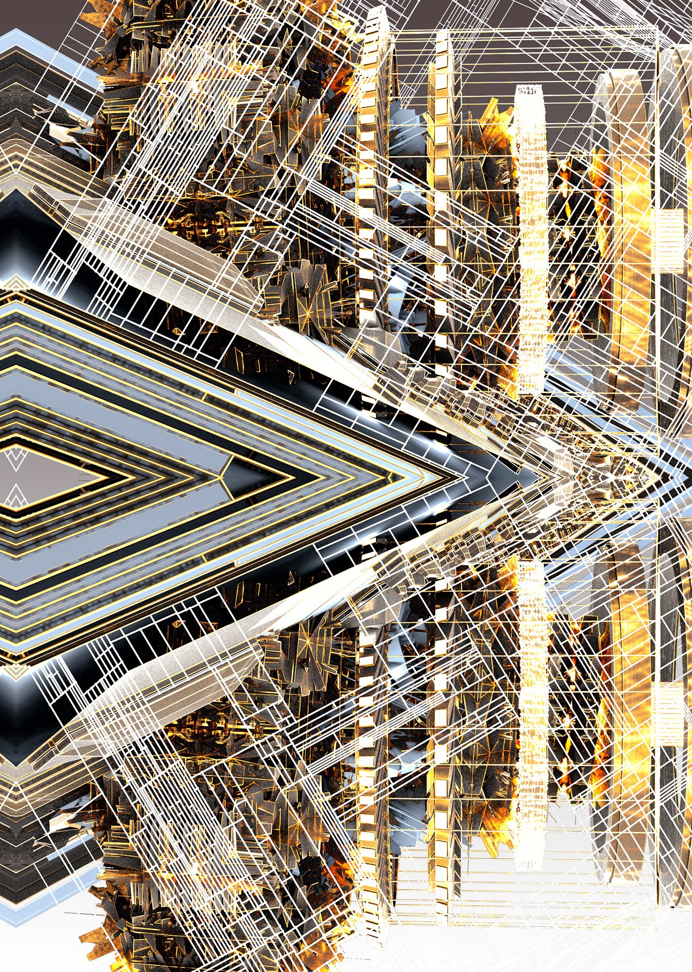
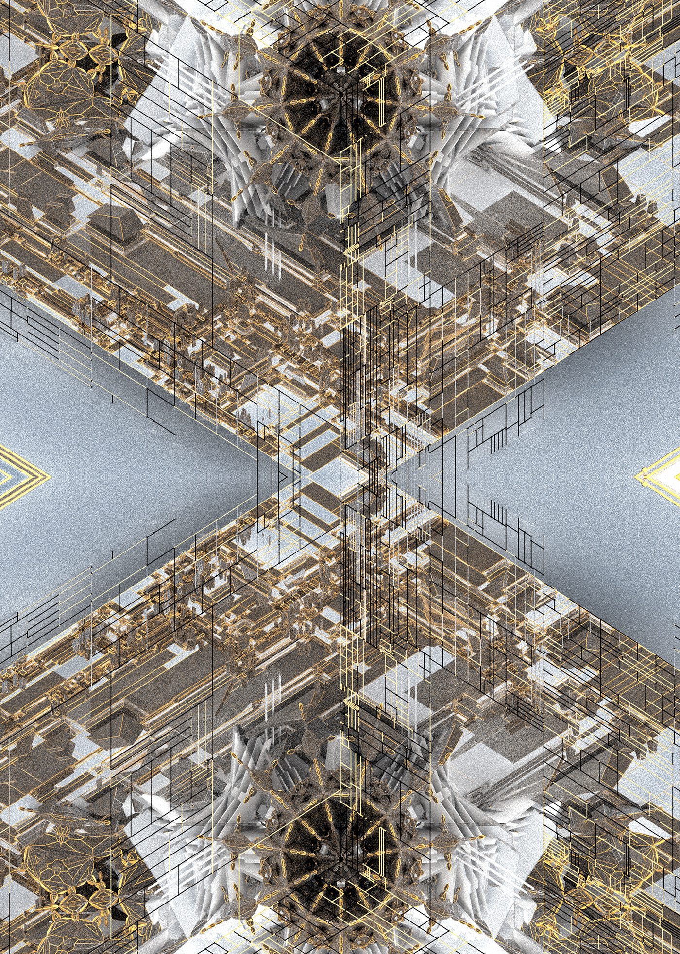
The second half of the Cultural Center, an archive documenting/explaining the real world locations behind the Glyphs, runes and symbols in the game via textiles and interactive galleries.
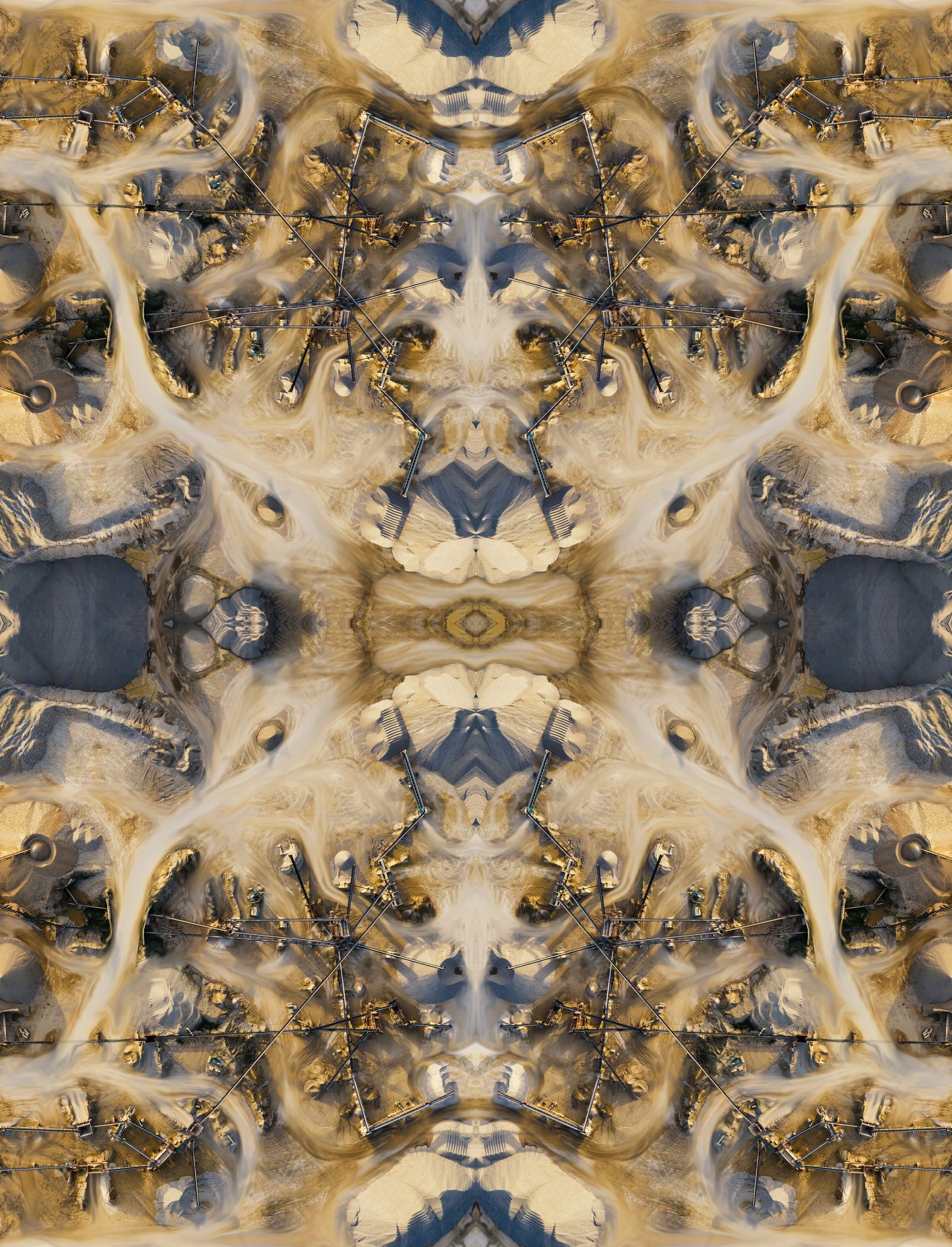
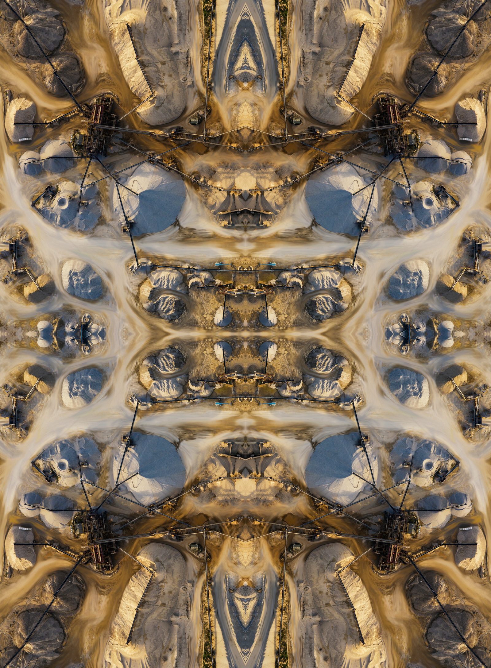
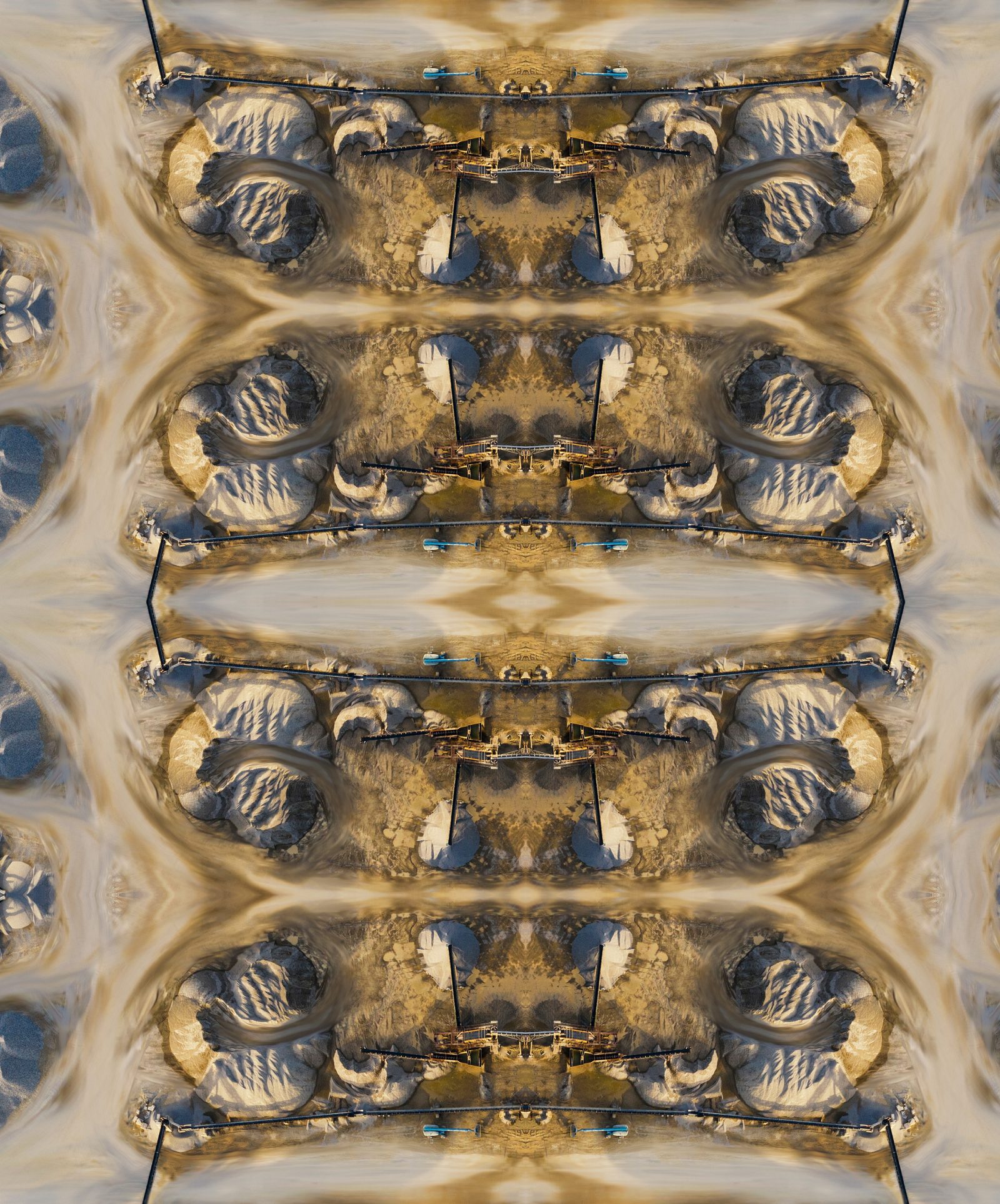
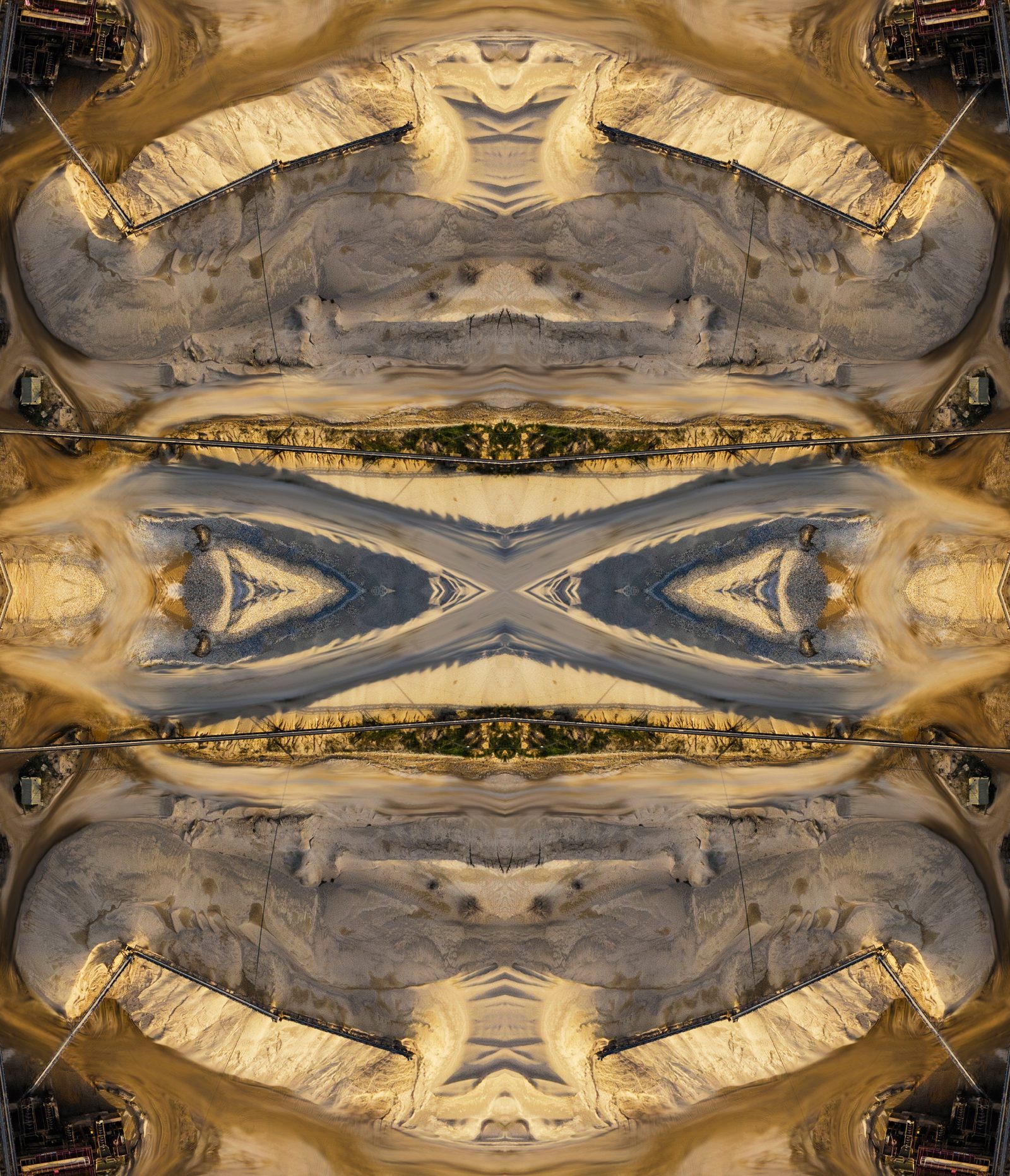
Archive Construction
Dia Gate
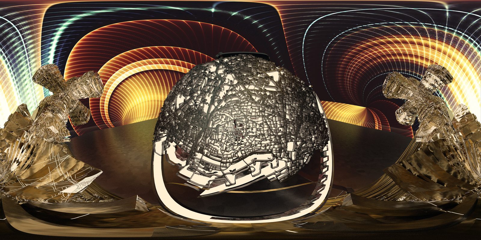
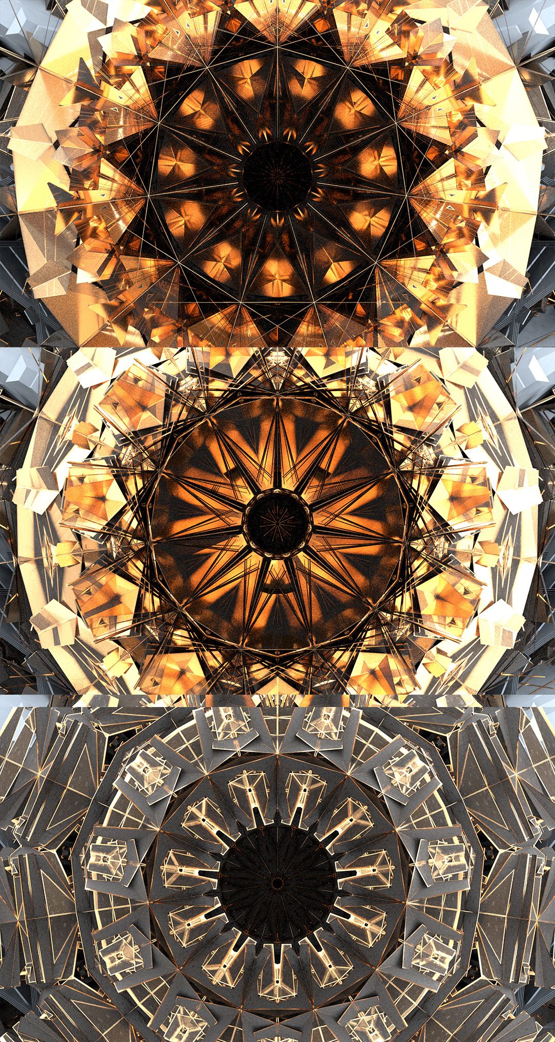
Powers the archive and hangar, acquired/powered from the Diawara level. A portal to the ruins of a hybrid culture that formed as a response environmental erosion.
Powers the archive and hangar, acquired/powered from the Diawara level. A portal to the ruins of a hybrid culture that formed as a response environmental erosion.
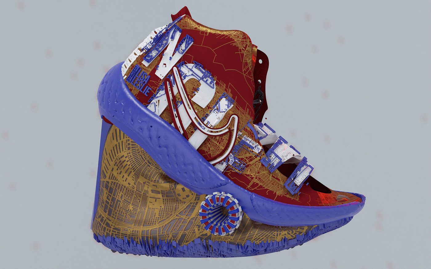
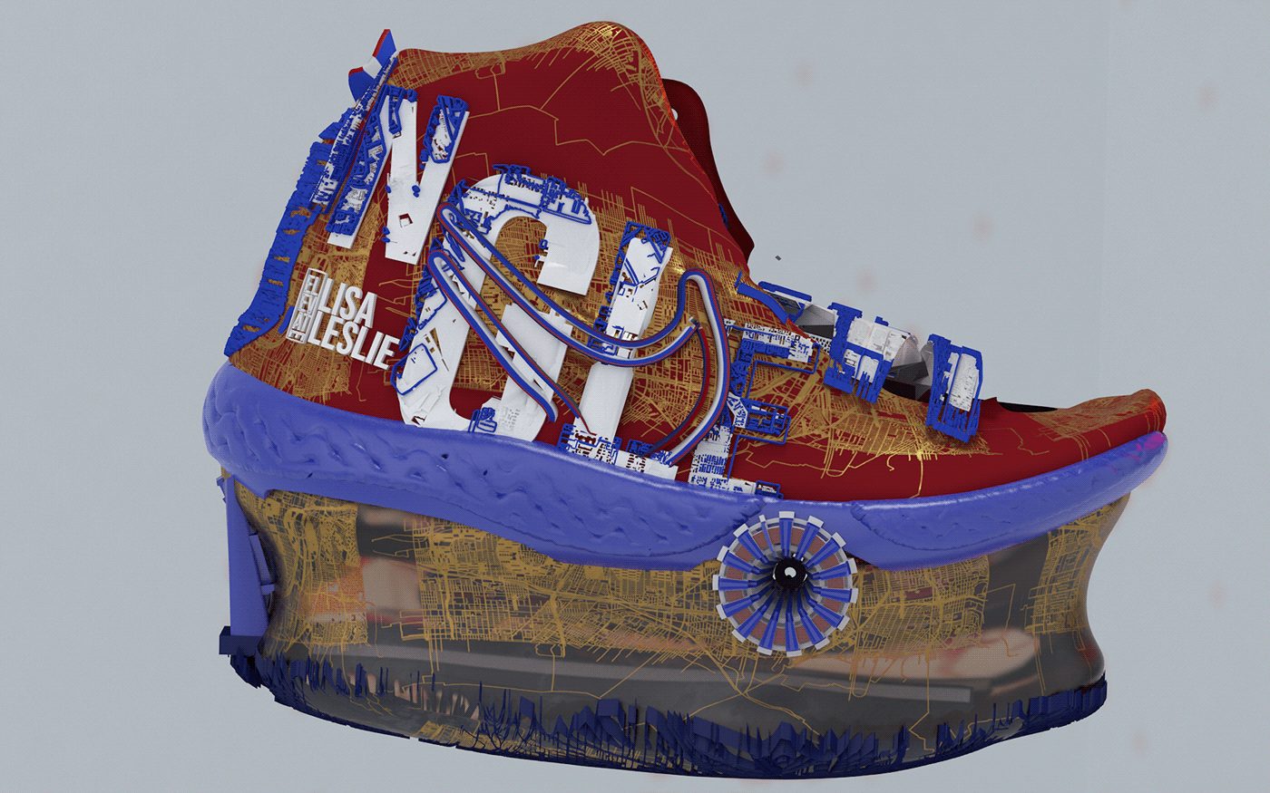
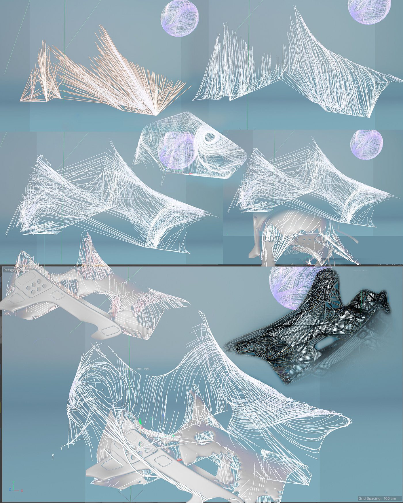
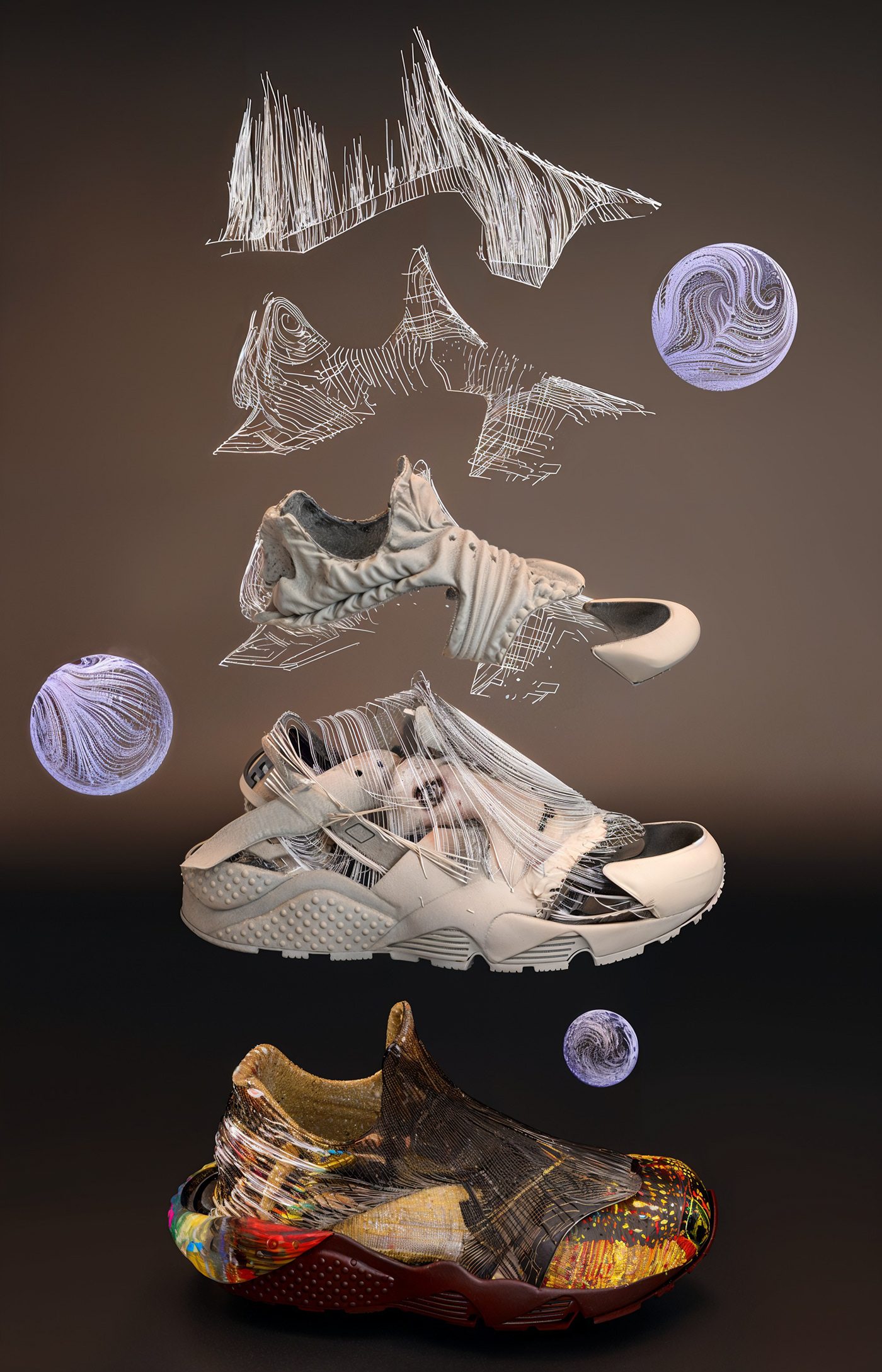
Serena Williams Design Crew 3D

A video, on Behance: watch it on this work's page there
Bismillah